
New Mexico
Beschreibung
New Mexico is mountainous with countless rugged features, open plains and arid deserts.
Important trails here are the Continental Divide Trail and the Grand Enchantment Trail (also in Arizona).
Thousands of miles of (alpine) trails run through the Santa Fe National Forest and Gila National Forest. Also interesting are the Carson National Forest, the Lincoln National Forest and the Cibola National Forest.
Karte

Wanderwege Landesteil
Links
Fakten
Berichte
Führer und Karten
Übernachtung
Organisationen
Reisebüros
GPS
Sonstiges
Bücher

- Also available from:
- De Zwerver, Netherlands
- Stanfords, United Kingdom
De Zwerver
Netherlands
Netherlands
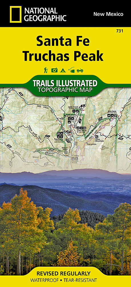
- Wandelkaart 731 Santa Fe, Truchas Peak | National Geographic
- Trails Illustrated Read more

Stanfords
United Kingdom
United Kingdom
- Santa Fe - Truchas Peak NM
- Map No. 731, Santa Fe - Truchas Peak in New Mexico at 1:63,360, part of an extensive series of GPS compatible, contoured hiking maps of USA’s national and state parks or forests and other popular recreational areas. Cartography, based on the national topographic survey, has extensive additional tourist information.The maps, printed on light,... Read more

The Book Depository
United Kingdom
United Kingdom
- Best Wildflower Hikes New Mexico
- A Guide to the Area's Greatest Wildflower Hiking Adventures Read more

- Also available from:
- Stanfords, United Kingdom

Stanfords
United Kingdom
United Kingdom
- Windswept: why women walk
- The story of extraordinary women who lost their way - their sense of self, their identity, their freedom - and found it again through walking in the wild. `Moving and memorable` Virginia Nicholson, author of How Was It for You?`A triumph ... I felt as though I were being lifted, carried up to peaks` Charlotte Peacock, author of Into the... Read more

Stanfords
United Kingdom
United Kingdom
- Windswept: Walking in the Footsteps of Remarkable Women
- The story of extraordinary women who lost their way - their sense of self, their identity, their freedom - and found it again through walking in the wild. A feminist exploration of the power of walking in nature, following in the footsteps of Gwen John, Georgia O`Keeffe, Frieda Lawrence, Clara Vyvyan, Simone de Beauvoir, Daphne Du Maurier and... Read more

Stanfords
United Kingdom
United Kingdom
- The Golden Age
- Charles V, Emperor of Europe and the New World, is the central figure The Golden age, the second volume of Hugh Thomas’s superb history of the Spanish Empire. It begins with the return of the remnants of Magellan’s expedition around the world in 1522 and ends with Charles’s death in 1558. In the decades between, the Spaniards conquer Guatemala,... Read more
Bol.com
Netherlands
Netherlands
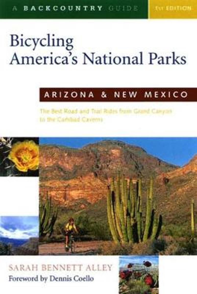
- Bicycling America's National Parks
- Bicycling is becoming an increasingly popular way to experience our national parks as many are restricting access to private vehicles. This complete adventure guide to the national parks of Arizona and New Mexico features more than 80 road and mountain bike rides through the parks' most spectacular natural areas. The outstanding variety of... Read more
- Also available from:
- Bol.com, Belgium
Bol.com
Belgium
Belgium
- Bicycling America's National Parks
- Bicycling is becoming an increasingly popular way to experience our national parks as many are restricting access to private vehicles. This complete adventure guide to the national parks of Arizona and New Mexico features more than 80 road and mountain bike rides through the parks' most spectacular natural areas. The outstanding variety of... Read more
Bol.com
Netherlands
Netherlands
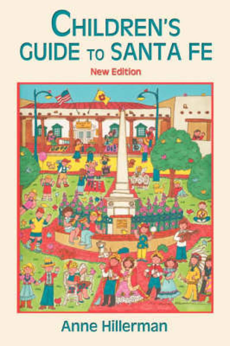
- Children's Guide To Santa Fe (New And Revised)
- Hillerman describes places to visit and special celebrations in Santa Fe, New Mexico, as well as nearby Indian villages and sites and areas suitable for hiking and fishing. Includes a Spanish vocabulary. Read more
- Also available from:
- Bol.com, Belgium
Bol.com
Belgium
Belgium
- Children's Guide To Santa Fe (New And Revised)
- Hillerman describes places to visit and special celebrations in Santa Fe, New Mexico, as well as nearby Indian villages and sites and areas suitable for hiking and fishing. Includes a Spanish vocabulary. Read more
Bol.com
Netherlands
Netherlands
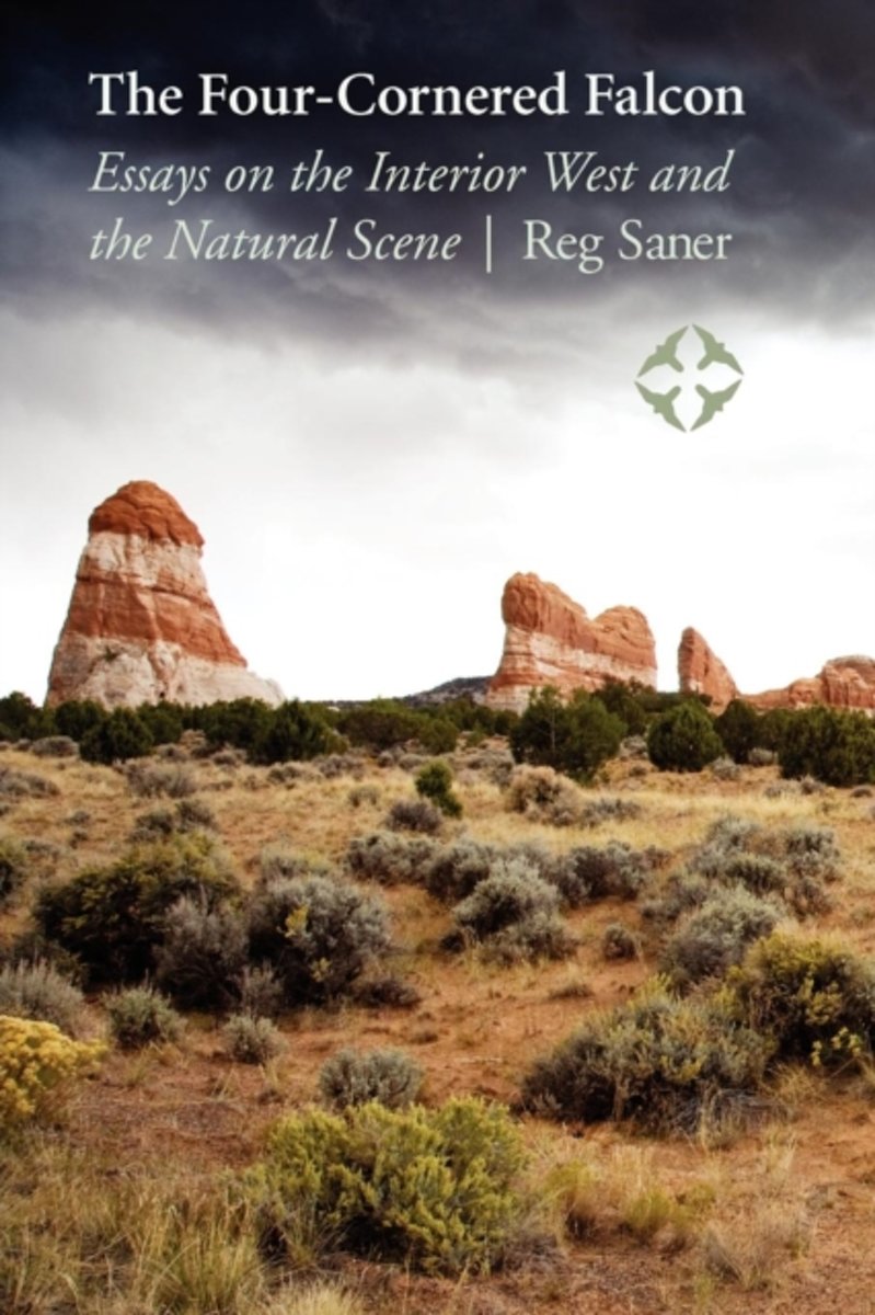
- The Four-Cornered Falcon
- The western United States is a region of open space that has profoundly shaped the American character. In The Four-Cornered Falcon, Reg Saner explores places that can still transform the human spirit with almost sacred power and describes journeys-both physical and spiritual-to areas of the interior West as remote as they are beautiful. He... Read more
- Also available from:
- Bol.com, Belgium
Bol.com
Belgium
Belgium
- The Four-Cornered Falcon
- The western United States is a region of open space that has profoundly shaped the American character. In The Four-Cornered Falcon, Reg Saner explores places that can still transform the human spirit with almost sacred power and describes journeys-both physical and spiritual-to areas of the interior West as remote as they are beautiful. He... Read more

Stanfords
United Kingdom
United Kingdom
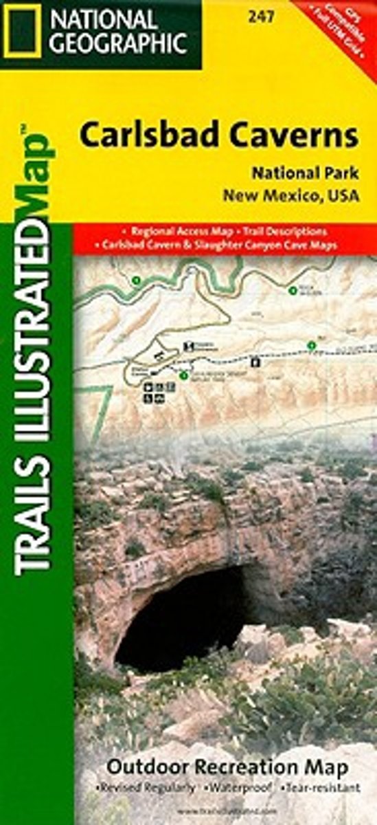
- Carlsbad Caverns National Park NM
- Map No. 247, Carlsbad Caverns National Park in New Mexico at 1:35,000 in an extensive series of GPS compatible, contoured hiking maps of USA’s national and state parks or forests and other popular recreational areas. Cartography based on the national topographic survey, with additional tourist information.The maps, with most titles now printed... Read more
- Also available from:
- Bol.com, Netherlands
- Bol.com, Belgium
Bol.com
Netherlands
Netherlands
- Carlsbad Caverns National Park
- Waterproof Tear-Resistant Topographic MapThis two-sided map shows two worlds - the beautiful landscape in and around Carlsbad National Park and Wilderness area on one side, with the other side showing detail and trails in one of the world's most fascinating and accessible underground wonders. Above ground, the map includes Carlsbad... Read more
Bol.com
Belgium
Belgium
- Carlsbad Caverns National Park
- Waterproof Tear-Resistant Topographic MapThis two-sided map shows two worlds - the beautiful landscape in and around Carlsbad National Park and Wilderness area on one side, with the other side showing detail and trails in one of the world's most fascinating and accessible underground wonders. Above ground, the map includes Carlsbad... Read more
Bol.com
Netherlands
Netherlands
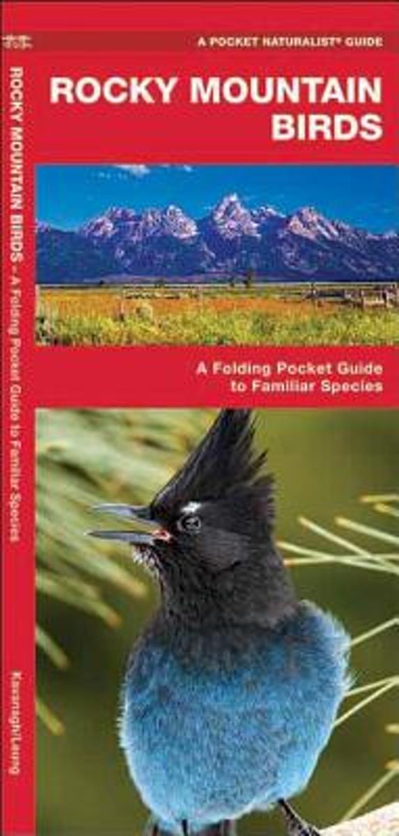
- Rocky Mountain Birds
- Stretching from Alaska to New Mexico, the varied habitats of the Rockies support hundreds of permanent and migratory bird species. ?This beautifully illustrated guide highlights over 140 familiar and unique species and includes an ecoregion map featuring prominent bird-viewing areas. Laminated for durability, this lightweight, pocket-sized... Read more
- Also available from:
- Bol.com, Belgium
Bol.com
Belgium
Belgium
- Rocky Mountain Birds
- Stretching from Alaska to New Mexico, the varied habitats of the Rockies support hundreds of permanent and migratory bird species. ?This beautifully illustrated guide highlights over 140 familiar and unique species and includes an ecoregion map featuring prominent bird-viewing areas. Laminated for durability, this lightweight, pocket-sized... Read more
Bol.com
Netherlands
Netherlands
- New Mexico State Travel Journal, Motto
- Here s the Dragon Dragon Travel Journal deal.You wander the world having adventures, and such. Dragon Dragon offers you 200 pages to document your travels, and such. That s it. Simple. Beautiful. True.To help keep things organized, we ve given each journal a unique continent, country or city name.Wherever you go in this life, a Dragon Dragon... Read more
- Also available from:
- Bol.com, Belgium
Bol.com
Belgium
Belgium
- New Mexico State Travel Journal, Motto
- Here s the Dragon Dragon Travel Journal deal.You wander the world having adventures, and such. Dragon Dragon offers you 200 pages to document your travels, and such. That s it. Simple. Beautiful. True.To help keep things organized, we ve given each journal a unique continent, country or city name.Wherever you go in this life, a Dragon Dragon... Read more
Bol.com
Netherlands
Netherlands
- New Mexico Slot Canyons Black&white
- This is the black-and-white version of New Mexico Slot Canyons by Doug Scott.New Mexico has many amazing and wonderful slot canyons that have been virtually unknown until now. Begin today planning your best-ever "slot canyon" adventure in the Land of Enchantment. This book's 108 pages display 69 color photos, many are full page...!!! Canyon... Read more
- Also available from:
- Bol.com, Belgium
Bol.com
Belgium
Belgium
- New Mexico Slot Canyons Black&white
- This is the black-and-white version of New Mexico Slot Canyons by Doug Scott.New Mexico has many amazing and wonderful slot canyons that have been virtually unknown until now. Begin today planning your best-ever "slot canyon" adventure in the Land of Enchantment. This book's 108 pages display 69 color photos, many are full page...!!! Canyon... Read more
Bol.com
Netherlands
Netherlands
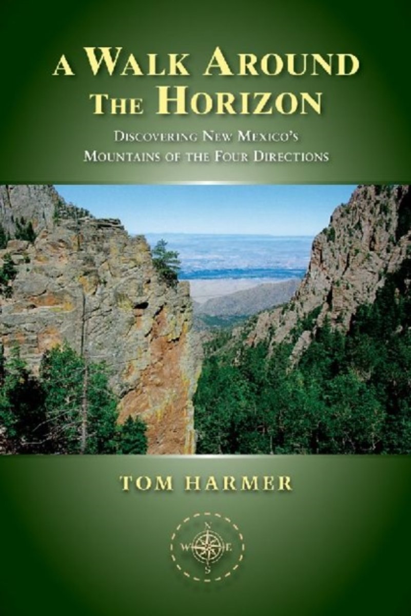
- A Walk Around the Horizon
- North of Santa Fe, the New Mexico landscape is framed by four high mountains. Although they are sacred to the Tewa Pueblo Indians, the four peaks are in different bureaucratic and cultural zones, which means that each peak attracts visitors but few non-Indian travelers visit more than one of the mountains. Tom Harmer's chronicle of climbing all... Read more
- Also available from:
- Bol.com, Belgium
Bol.com
Belgium
Belgium
- A Walk Around the Horizon
- North of Santa Fe, the New Mexico landscape is framed by four high mountains. Although they are sacred to the Tewa Pueblo Indians, the four peaks are in different bureaucratic and cultural zones, which means that each peak attracts visitors but few non-Indian travelers visit more than one of the mountains. Tom Harmer's chronicle of climbing all... Read more
Karten

- Also available from:
- De Zwerver, Netherlands
- Stanfords, United Kingdom
De Zwerver
Netherlands
Netherlands
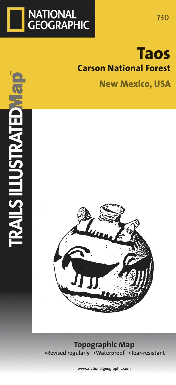
- Wandelkaart - Topografische kaart 730 Taos Carson National Forest | National Geographic
- Map No. 730, Taos Area of New Mexico, at 1:40,680 in an extensive series of GPS compatible, contoured hiking maps of USA Read more
Stanfords
United Kingdom
United Kingdom
- Taos Area NM
- Map No. 730, Taos Area of New Mexico, at 1:40,680 in an extensive series of GPS compatible, contoured hiking maps of USA’s national and state parks or forests and other popular recreational areas. Cartography based on the national topographic survey, with additional tourist information.The maps, with most titles now printed on light, waterproof... Read more


Stanfords
United Kingdom
United Kingdom
- New Mexico Benchmark Road & Recreation Atlas
- New Mexico at 1:400,000 in a series of excellent, detailed, GPS compatible state atlases from Benchmark Maps with extensive information on diverse recreational opportunities and facilities. The main section of the atlas, the Landscape Maps, presents the whole state on 56 pages of detailed mapping at 1:285,000. The Recreational Section is... Read more

De Zwerver
Netherlands
Netherlands
- Wandelkaart - Topografische kaart 314 Many Glacier - Glacier and Waterton Lakes National Parks | National Geographic
- Prachtige geplastificeerde kaart van het bekende nationaal park. Met alle recreatieve voorzieningen als campsites, maar ook met topografische details en wandelroutes ed. Door uitgekiend kleurgebruik zeer prettig in gebruik. Scheur en watervast! Located just north of Kalispell in Montana's northwest corner, Glacier National contains an... Read more
- Also available from:
- Stanfords, United Kingdom
- Bol.com, Netherlands
- Bol.com, Belgium

Stanfords
United Kingdom
United Kingdom
- Many Glacier - Glacier and Waterton Lakes National Parks MT
- Map No. 313, Glacier National Park: North Fork, MT, in an extensive series of GPS compatible, contoured hiking maps of USA’s national and state parks or forests and other popular recreational areas. Cartography based on the national topographic survey, with additional tourist information.The maps, with most titles now printed on light,... Read more

Bol.com
Netherlands
Netherlands
- Many Glacier, Glacier National Park
- Waterproof Tear-Resistant Topographic MapLocated just north of Kalispell in Montana's northwest corner, Glacier National contains an abundance of recreational opportunities for outdoor enthusiasts of all interests.This detailed topographic recreation map contains carefully researched trails, campsites, forest service roads, and... Read more
Bol.com
Belgium
Belgium
- Many Glacier, Glacier National Park
- Waterproof Tear-Resistant Topographic MapLocated just north of Kalispell in Montana's northwest corner, Glacier National contains an abundance of recreational opportunities for outdoor enthusiasts of all interests.This detailed topographic recreation map contains carefully researched trails, campsites, forest service roads, and... Read more

- Also available from:
- De Zwerver, Netherlands
- Stanfords, United Kingdom
- Bol.com, Netherlands
- Bol.com, Belgium

De Zwerver
Netherlands
Netherlands
- Wandelkaart - Topografische kaart 141 Telluride, Silverton, Ouray, Lake City | National Geographic
- Prachtige geplastificeerde kaart van het bekende nationaal park. Met alle recreatieve voorzieningen als campsites, maar ook met topografische details en wandelroutes ed. Door uitgekiend kleurgebruik zeer prettig in gebruik. Scheur en watervast! Beautiful waterproof and tear-resistant topographical hiking map of a well-loved National Park, with... Read more

Stanfords
United Kingdom
United Kingdom
- Telluride - Silverton - Ouray - Lake City CO
- Map No. 141, Telluride - Silverton - Ouray - Lake City, CO, in an extensive series of GPS compatible, contoured hiking maps of USA’s national and state parks or forests and other popular recreational areas. Cartography based on the national topographic survey, with additional tourist information.The maps, with most titles now printed on light,... Read more

Bol.com
Netherlands
Netherlands
- Telluride/silverton/ouray/lake City
- Waterproof Tear-Resistant Topographic MapExpertly researched and created in partnership with local land management agencies, National Geographic's Trails Illustrated map of Telluride, Silverton, Ouray, and Lake City provides an unparalleled tool for exploring this breathtaking region of Colorado. Whatever the season, you'll find this map... Read more
Bol.com
Belgium
Belgium
- Telluride/silverton/ouray/lake City
- Waterproof Tear-Resistant Topographic MapExpertly researched and created in partnership with local land management agencies, National Geographic's Trails Illustrated map of Telluride, Silverton, Ouray, and Lake City provides an unparalleled tool for exploring this breathtaking region of Colorado. Whatever the season, you'll find this map... Read more

De Zwerver
Netherlands
Netherlands
- Wandelkaart - Topografische kaart 215 Glacier - Waterton Lakes National Park | National Geographic
- Prachtige geplastificeerde kaart van het bekende nationaal park. Met alle recreatieve voorzieningen als campsites, maar ook met topografische details en wandelroutes ed. Door uitgekiend kleurgebruik zeer prettig in gebruik. Scheur en watervast! Waterton Lakes National Park, Canada includes Waterton Park, Upper and Middle Waterton Lakes, The... Read more
- Also available from:
- Stanfords, United Kingdom
- Bol.com, Netherlands
- Bol.com, Belgium

Stanfords
United Kingdom
United Kingdom
- Glacier - Waterton Lakes National Park MT
- Map No. 215, Glacier/Waterton Lakes National Park, MT, in an extensive series of GPS compatible, contoured hiking maps of USA’s national and state parks or forests and other popular recreational areas. Cartography based on the national topographic survey, with additional tourist information.The maps, with most titles now printed on light,... Read more

Bol.com
Netherlands
Netherlands
- Glacier/waterton Lakes National Parks
- Waterproof Tear-Resistant Topographic MapNational Geographic's Trails Illustrated map of Glacier and Waterton Lakes National Parks offers unparalleled detail for outdoor enthusiasts exploring the pristine landscape of forests, mountains, lakes, and meadows within these two spectacular parks. Created in partnership with local land... Read more
Bol.com
Belgium
Belgium
- Glacier/waterton Lakes National Parks
- Waterproof Tear-Resistant Topographic MapNational Geographic's Trails Illustrated map of Glacier and Waterton Lakes National Parks offers unparalleled detail for outdoor enthusiasts exploring the pristine landscape of forests, mountains, lakes, and meadows within these two spectacular parks. Created in partnership with local land... Read more