The story of extraordinary women who lost their way - their sense of self, their identity, their freedom - and found it again through walking in the wild. `Moving and memorable` Virginia Nicholson, author of How Was It for You?`A triumph ... I felt as though I were being lifted, carried up to peaks` Charlotte Peacock, author of Into the...Read more
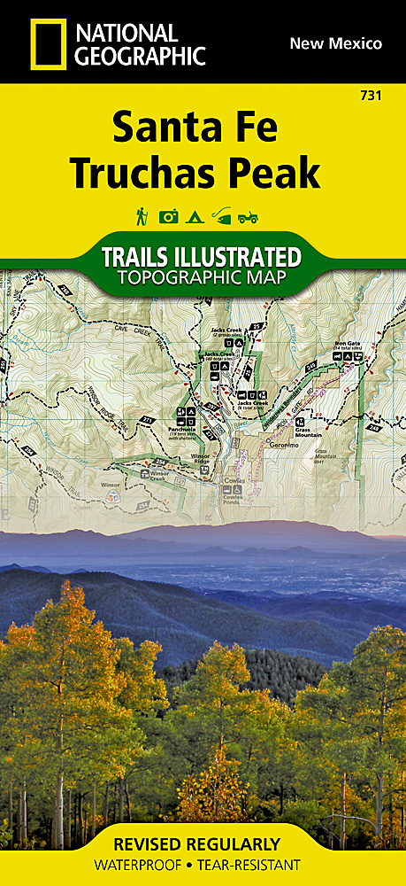
Map No. 731, Santa Fe - Truchas Peak in New Mexico at 1:63,360, part of an extensive series of GPS compatible, contoured hiking maps of USA’s national and state parks or forests and other popular recreational areas. Cartography, based on the national topographic survey, has extensive additional tourist information.The maps, printed on light,...Read more
The story of extraordinary women who lost their way - their sense of self, their identity, their freedom - and found it again through walking in the wild. A feminist exploration of the power of walking in nature, following in the footsteps of Gwen John, Georgia O`Keeffe, Frieda Lawrence, Clara Vyvyan, Simone de Beauvoir, Daphne Du Maurier and...Read more
Charles V, Emperor of Europe and the New World, is the central figure The Golden age, the second volume of Hugh Thomas’s superb history of the Spanish Empire. It begins with the return of the remnants of Magellan’s expedition around the world in 1522 and ends with Charles’s death in 1558. In the decades between, the Spaniards conquer Guatemala,...Read more
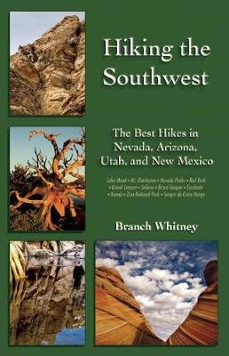
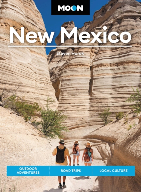
Hiking the Southwest provides recommendations for, descriptions of, and directions to the best hikes throughout the American Southwest. From canyoneering in Zion National Park and scrambling in Red Rock Canyon to hiking the highest peaks in Arizona, Nevada, and New Mexico, Hiking the Southwest puts them all within reach. In Hiking the...Read more
Hiking the Southwest provides recommendations for, descriptions of, and directions to the best hikes throughout the American Southwest. From canyoneering in Zion National Park and scrambling in Red Rock Canyon to hiking the highest peaks in Arizona, Nevada, and New Mexico, Hiking the Southwest puts them all within reach. In Hiking the...Read more
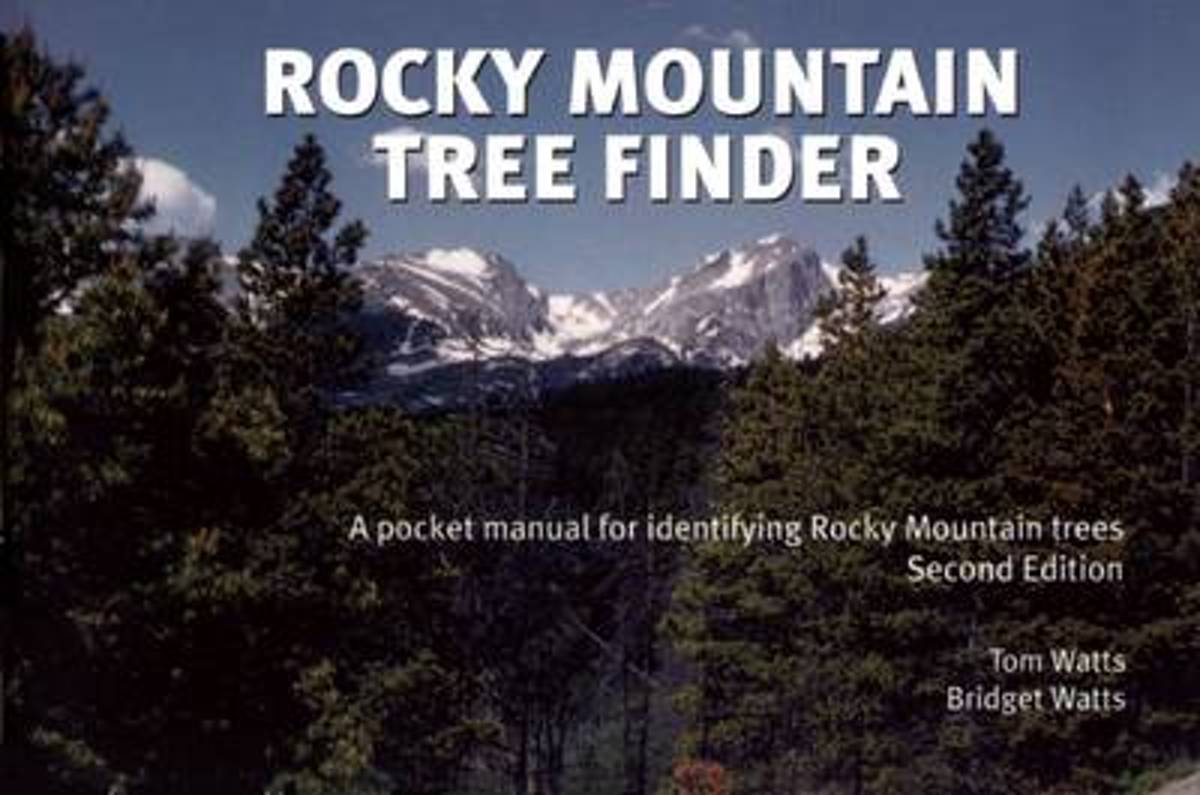
Learn to identify native trees by their leaves and needles in the Rocky Mountain region. Like other pocket guides from Nature Study Guild Publishers' Finder series, this book is organized as a dichotomous key. The key leads you step-by-step through a series of simple questions to arrive at the name of the tree.Area covered extends across the...Read more
Learn to identify native trees by their leaves and needles in the Rocky Mountain region. Like other pocket guides from Nature Study Guild Publishers' Finder series, this book is organized as a dichotomous key. The key leads you step-by-step through a series of simple questions to arrive at the name of the tree.Area covered extends across the...Read more
Wyoming1st Edition - December 15, 2014The Continental Divide Trail Pocket Map Series is a complete and concise set of topographic maps created withdigitized base maps covering every step of the 3,016 mile trail from Mexico to Canada.The most current data available! This reflects the recently located, official CDTThe land cover, hydrology and...Read more
Wyoming1st Edition - December 15, 2014The Continental Divide Trail Pocket Map Series is a complete and concise set of topographic maps created withdigitized base maps covering every step of the 3,016 mile trail from Mexico to Canada.The most current data available! This reflects the recently located, official CDTThe land cover, hydrology and...Read more
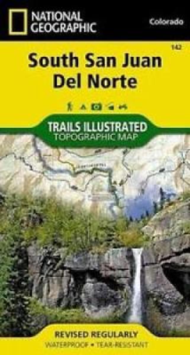
Map No. 142, South San Juan - Del Norte, CO, in an extensive series of GPS compatible, contoured hiking maps of USA’s national and state parks or forests and other popular recreational areas. Cartography based on the national topographic survey, with additional tourist information.The maps, with most titles now printed on light, waterproof and...Read more
Waterproof Tear-Resistant Topographic MapCoverage includes Rio Grande and San Juan national forests; South San Juan Wilderness; Dipping Lakes and Spiler Lakes; Lost Lake; Platoro and Fuchs Reservoirs; South Fork and Conejos rivers; the cities of Del Norte, South Fork, Wagon Wheel Gap, Summitville, Jasper, Cumbres, Platoro; and the...Read more
Waterproof Tear-Resistant Topographic MapCoverage includes Rio Grande and San Juan national forests; South San Juan Wilderness; Dipping Lakes and Spiler Lakes; Lost Lake; Platoro and Fuchs Reservoirs; South Fork and Conejos rivers; the cities of Del Norte, South Fork, Wagon Wheel Gap, Summitville, Jasper, Cumbres, Platoro; and the...Read more
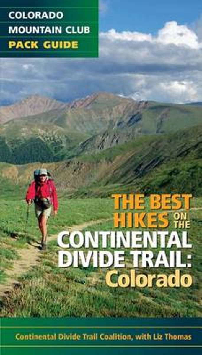
Features 20 of the best hikes along the iconic Continental Divide Trail. Hike some of the more popular and accessible sections of the trail near Denver and Summit County, then venture out on an overnight trek across some of the most remote areas of the state. The Continental Divide Trail runs approximately 800 miles through Colorado, taking...Read more
Features 20 of the best hikes along the iconic Continental Divide Trail. Hike some of the more popular and accessible sections of the trail near Denver and Summit County, then venture out on an overnight trek across some of the most remote areas of the state. The Continental Divide Trail runs approximately 800 miles through Colorado, taking...Read more
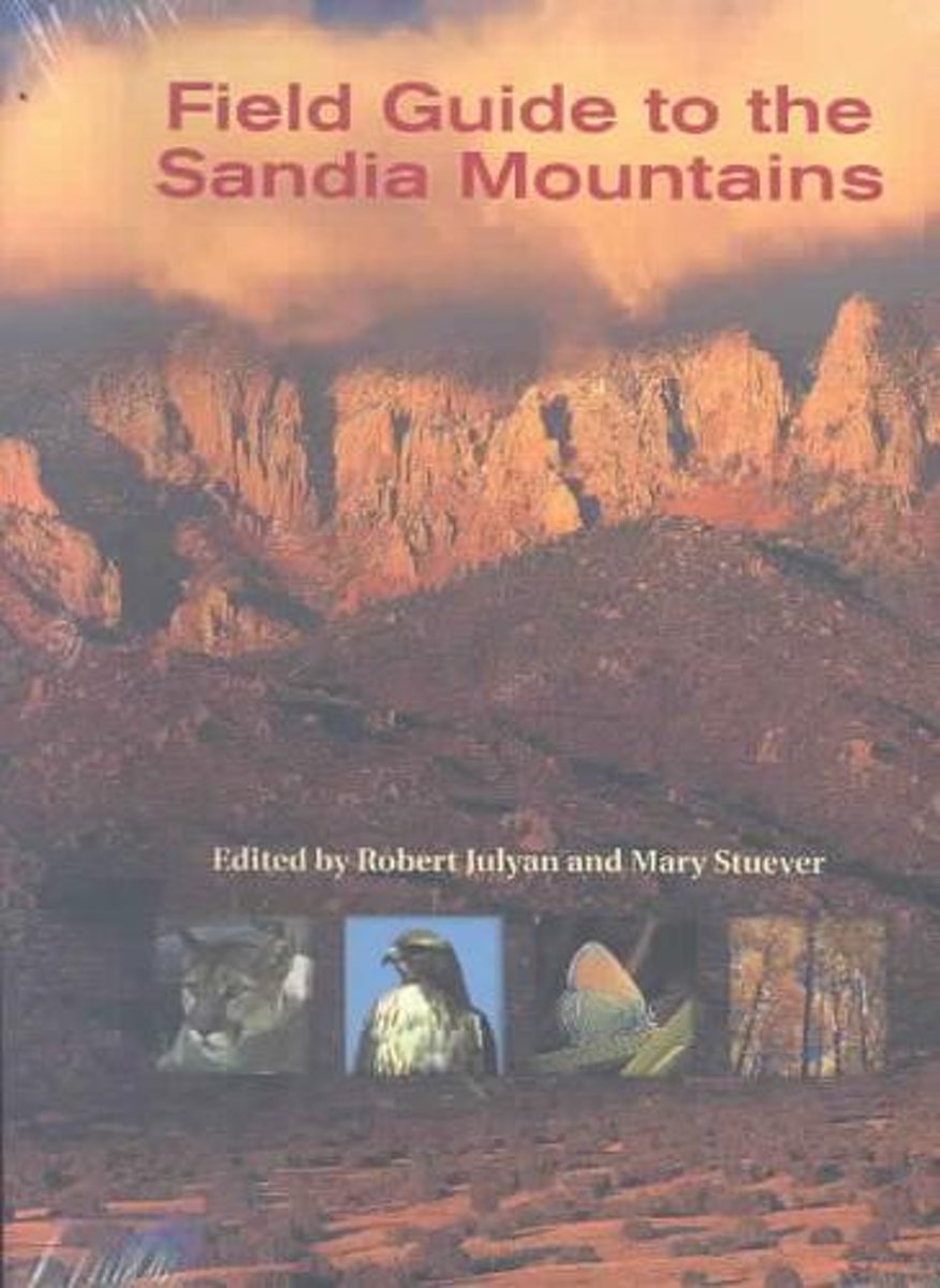
Each year over 2 million visitors to New Mexico's Sandia Mountains enjoy more than 100 miles of trails, hiking, climbing, running, biking, skiing, and birding, as well as viewing the mountains from hang gliders and hot air balloons. This guide will assist visitors in discovering the diverse natural features of the Sandias. Field Guide to the...Read more
Each year over 2 million visitors to New Mexico's Sandia Mountains enjoy more than 100 miles of trails, hiking, climbing, running, biking, skiing, and birding, as well as viewing the mountains from hang gliders and hot air balloons. This guide will assist visitors in discovering the diverse natural features of the Sandias. Field Guide to the...Read more
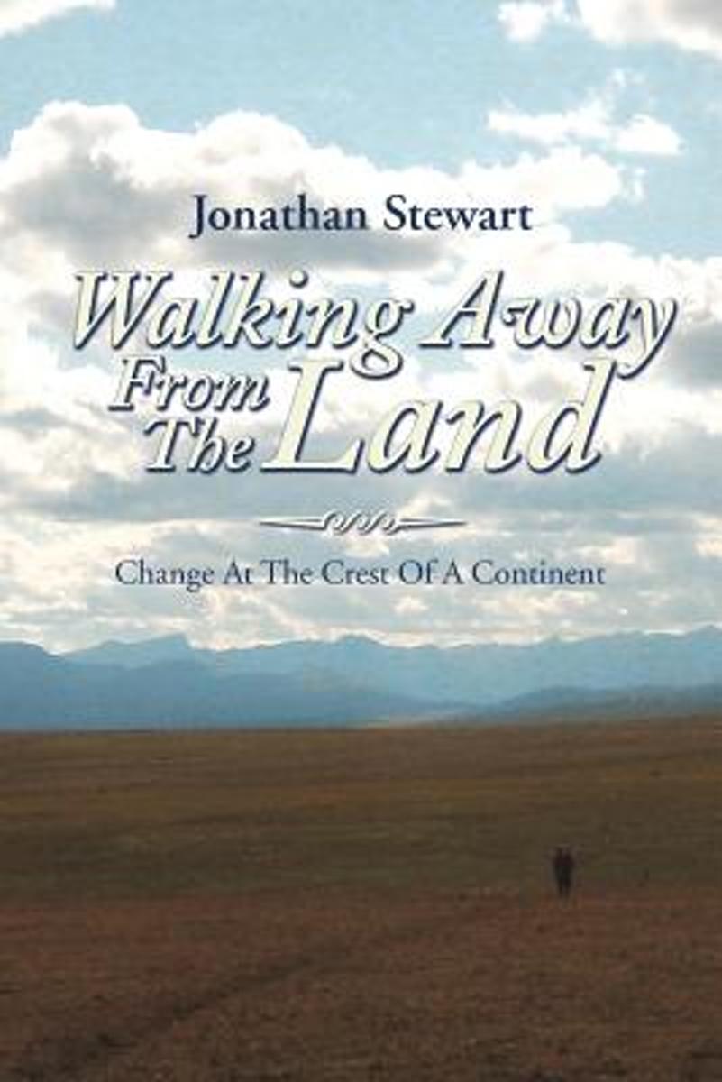
Walking Away from the Land focuses on the rapid cultural and climatic changes occurring at the crest of the North American continent. They are challenging the survival of our forests, grasslands, native wildlife, and our very civilization. This book details a three-summer Odyssey hiking the length of the Continental Divide Trail from the...Read more
Walking Away from the Land focuses on the rapid cultural and climatic changes occurring at the crest of the North American continent. They are challenging the survival of our forests, grasslands, native wildlife, and our very civilization. This book details a three-summer Odyssey hiking the length of the Continental Divide Trail from the...Read more
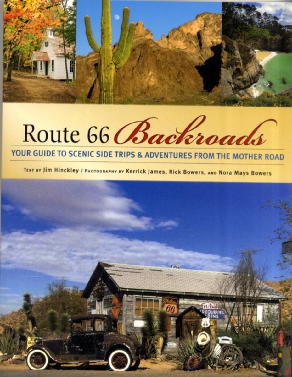
Known as the Main Street of America and the Mother Road, U.S. Route 66 is the nations best known highway. Once the microcosm of a culture increasingly connected by automobiles, its sights and attractions are now a fascinating reflection of a nation on the move. Travel this iconic highway through the heart of America with Route 66 Backroads as...Read more
Known as the Main Street of America and the Mother Road, U.S. Route 66 is the nations best known highway. Once the microcosm of a culture increasingly connected by automobiles, its sights and attractions are now a fascinating reflection of a nation on the move. Travel this iconic highway through the heart of America with Route 66 Backroads as...Read more