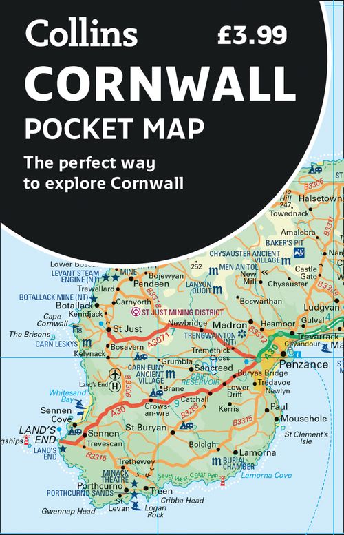
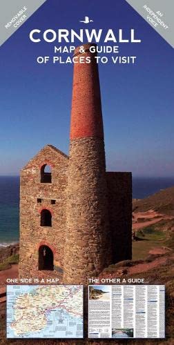
Cornwall
Beschreibung
Southwestern tip of England. Said to have a mild and sunny climate. The rugged coastline can be explored entirely on the South West Coast Path.
Wanderwege Region
Links
Fakten
Berichte
Führer und Karten
Übernachtung
Organisationen
Reisebüros
GPS
Sonstiges
Bücher

The Book Depository
United Kingdom
United Kingdom
- Top Walks in East Cornwall
- Thirteen Circular Walks Through Stunning Cornish Scenery Read more

The Book Depository
United Kingdom
2019
United Kingdom
2019
- The Two Saints Way
- A Pilgrimage Route between the Cathedral Cities of Chester and Lichfield Read more
- Also available from:
- De Zwerver, Netherlands
De Zwerver
Netherlands
2019
Netherlands
2019
- Pelgrimsroute - Wandelgids The Two Saints Way | Northern Eye Books
- A Pilgrimage Route between the Cathedral Cities of Chester and Lichfield Read more

- Also available from:
- De Zwerver, Netherlands
- Stanfords, United Kingdom
De Zwerver
Netherlands
2015
Netherlands
2015

Stanfords
United Kingdom
2015
United Kingdom
2015
- Shepton Mallet & Mendip Hills East - Frome & Midsomer Norton OS Explorer Map 142 (paper)
- Shepton Mallet, Mendip Hills East, Frome and Midsomer Norton area on a detailed topographic and GPS compatible map No. 142, paper version, from the Ordnance Survey’s 1:25,000 Explorer series. MOBILE DOWNLOADS: this title and all the other OS Explorer maps include a code for downloading after purchase the digital version onto your smartphone or... Read more

- Also available from:
- Stanfords, United Kingdom

Stanfords
United Kingdom
United Kingdom
- Torquay & Dawlish - Newton Abbot OS Explorer Active Map OL44 (waterproof)
- Torquay and Dawlish area of south Devon on a detailed topographic and GPS compatible map OL44, waterproof version, from the Ordnance Survey’s 1:25,000 Explorer series. Coverage extends from the Exe Estuary in the north-east to Totnes in the south-west and includes Paignton, Newton Abbot, Teignmouth, Exminster, Bovey Tracy, Trenchford Reservoir,... Read more

- Also available from:
- De Zwerver, Netherlands
- Stanfords, United Kingdom
De Zwerver
Netherlands
2015
Netherlands
2015

Stanfords
United Kingdom
2015
United Kingdom
2015
- Stroud, Tetbury & Malmesbury OS Explorer Map 168 (paper)
- Stroud, Tetbury and Malmesbury area on a detailed topographic and GPS compatible map No. 168, paper version, from the Ordnance Survey’s 1:25,000 Explorer series. MOBILE DOWNLOADS: this title and all the other OS Explorer maps include a code for downloading after purchase the digital version onto your smartphone or tablet for viewing on the OS... Read more

- Also available from:
- De Zwerver, Netherlands
- Stanfords, United Kingdom
De Zwerver
Netherlands
Netherlands

Stanfords
United Kingdom
United Kingdom
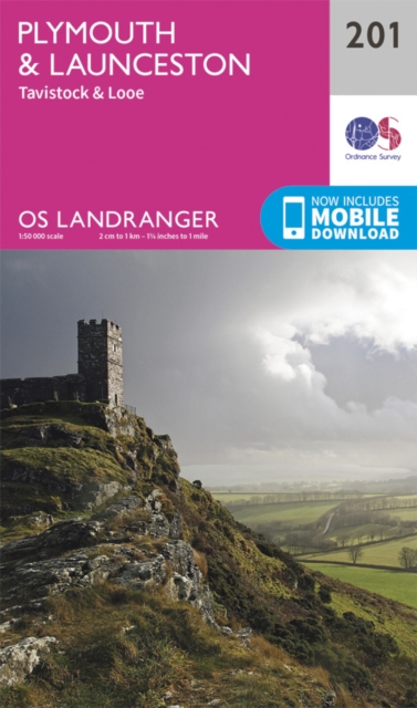
- Plymouth, Launceston, Tavistock & Looe OS Landranger Map 201 (paper)
- Plymouth and Launceston area, including a section of the South West Coast Path National Trail, on a paper version of map No. 201 from the Ordnance Survey’s Landranger series at 1:50,000, with contoured and GPS compatible topographic mapping plus tourist information.MOBILE DOWNLOADS: As well as the physical edition of the map, each Landranger... Read more

- Also available from:
- De Zwerver, Netherlands
- Stanfords, United Kingdom
De Zwerver
Netherlands
2017
Netherlands
2017

Stanfords
United Kingdom
2017
United Kingdom
2017
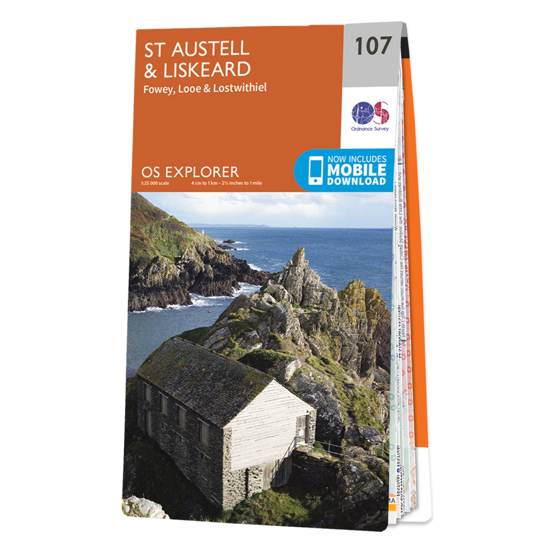
- St Austell & Liskeard - Fowey, Looe & Lostwithiel OS Explorer Map 107 (paper)
- St Austell, Liskeard, Fowey, Looe and Lostwithiel area on a detailed topographic and GPS compatible map No. 107, paper version, from the Ordnance Survey’s 1:25,000 Explorer series.MOBILE DOWNLOADS: this title and all the other OS Explorer maps include a code for downloading after purchase the digital version onto your smartphone or tablet for... Read more

- Also available from:
- Stanfords, United Kingdom

Stanfords
United Kingdom
United Kingdom
- Exeter, Sidmouth, Exmouth & Teignmouth OS Landranger Active Map 192 (waterproof)
- Exeter and Sidmouth area, including a section of the South West Coast Path / E9 European Long-distance Path, on a waterproof and tear-resistant OS Active version of map No. 192 from the Ordnance Survey’s Landranger series at 1:50,000, with contoured and GPS compatible topographic mapping plus tourist information.MOBILE DOWNLOADS: As well as the... Read more

The Book Depository
United Kingdom
2013
United Kingdom
2013
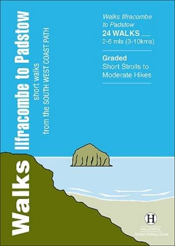
- Walks Ilfracombe to Padstow
- Short Walks from the South West Coast Path Read more
- Also available from:
- De Zwerver, Netherlands
De Zwerver
Netherlands
2013
Netherlands
2013
- Wandelgids Ilfracombe to Padstow | Hallewell Publications
- Short Walks from the South West Coast Path Read more

The Book Depository
United Kingdom
United Kingdom
- Cape to Cape
- A 1,250-mile backpacking walk from Cornwall to Cape Wrath in Scotland Read more

The Book Depository
United Kingdom
2019
United Kingdom
2019
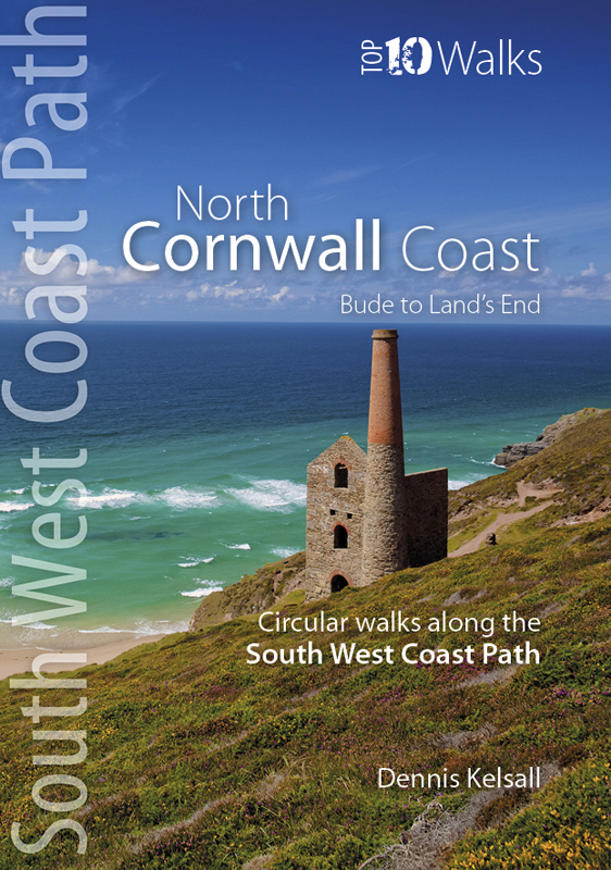
- North Cornwall Coast
- Bude to Land's End - Circular Walks along the South West Coast Path Read more
- Also available from:
- De Zwerver, Netherlands
- Stanfords, United Kingdom
De Zwerver
Netherlands
2019
Netherlands
2019
- Wandelgids North Cornwall Coast | Northern Eye Books
- These attractive and cleverly structured guides will give walkers ten of the best short circular walks along each of the five sections of the 630-mile long South West Coast Path in a popular pocket-size format.With clear information, an overview and introduction for each walk, expertly written numbered directions, large scale Ordnance Survey... Read more

Stanfords
United Kingdom
2019
United Kingdom
2019
- North Cornwall Coast: Bude to Land`s End - Circular Walks along the South West Coast Path
- These attractive and cleverly structured guides will give walkers ten of the best short circular walks along each of the five sections of the 630-mile long South West Coast Path in a popular pocket-size format.With clear information, an overview and introduction for each walk, expertly written numbered directions, large scale Ordnance Survey... Read more

The Book Depository
United Kingdom
United Kingdom
- South Cornwall: Helford Guidebook
- Mawnan, Trebah, Glendurgan, Gweek, Constantine, Trelowarren Read more

- Also available from:
- De Zwerver, Netherlands
- Stanfords, United Kingdom
De Zwerver
Netherlands
2015
Netherlands
2015

Stanfords
United Kingdom
2015
United Kingdom
2015
- Warminster & Trowbridge - Westbury & Mere OS Explorer Map 143 (paper)
- Warminster, Trowbridge, Westbury and Mere area on a detailed topographic and GPS compatible map No. 143, paper version, from the Ordnance Survey’s 1:25,000 Explorer series. MOBILE DOWNLOADS: this title and all the other OS Explorer maps include a code for downloading after purchase the digital version onto your smartphone or tablet for viewing... Read more

- Also available from:
- De Zwerver, Netherlands
- Stanfords, United Kingdom
De Zwerver
Netherlands
2015
Netherlands
2015

Stanfords
United Kingdom
2015
United Kingdom
2015
- Cirencester & Swindon - Fairford & Cricklade OS Explorer Map 169 (paper)
- Cirencester, Swindon, Fairford and Cricklade area on a detailed topographic and GPS compatible map No. 169, paper version, from the Ordnance Survey’s 1:25,000 Explorer series. MOBILE DOWNLOADS: this title and all the other OS Explorer maps include a code for downloading after purchase the digital version onto your smartphone or tablet for... Read more

- Also available from:
- De Zwerver, Netherlands
- Stanfords, United Kingdom
De Zwerver
Netherlands
Netherlands

Stanfords
United Kingdom
United Kingdom
- Bude, Clovelly, Boscastle & Holsworthy OS Landranger Map 190 (paper)
- Bude and Clovelly area, including a section of the South West Coast Path, on a paper version of map No. 190 from the Ordnance Survey’s Landranger series at 1:50,000, with contoured and GPS compatible topographic mapping plus tourist information.MOBILE DOWNLOADS: As well as the physical edition of the map, each Landranger title now includes a... Read more
Karten

The Book Depository
United Kingdom
2010
United Kingdom
2010
- Dartmoor
- Double-sided waterproof mountain map of Dartmoor from Harvey at 1:40,000, with a geological map of the region on the reverse, and advice on navigating the region safely.MAIN MAP: Topography is shown through clear altitude shading, spot heights, contours at 15m intervals, and index contours at 75m intervals. A variety of symbols are used to show... Read more
- Also available from:
- De Zwerver, Netherlands
- Stanfords, United Kingdom
De Zwerver
Netherlands
2010
Netherlands
2010
- Wandelkaart Dartmoor | Harvey Maps
- Double-sided waterproof mountain map of Dartmoor from Harvey at 1:40,000, with a geological map of the region on the reverse, and advice on navigating the region safely.MAIN MAP: Topography is shown through clear altitude shading, spot heights, contours at 15m intervals, and index contours at 75m intervals. A variety of symbols are used to show... Read more

Stanfords
United Kingdom
2010
United Kingdom
2010
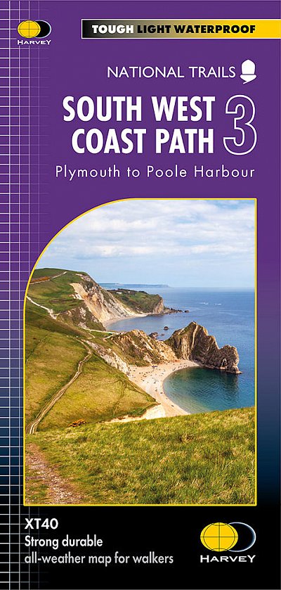
- Dartmoor Harvey British Mountain Map XT40
- Double-sided waterproof mountain map of Dartmoor from Harvey at 1:40,000, with a geological map of the region on the reverse, and advice on navigating the region safely.*MAIN MAP:* Topography is shown through clear altitude shading, spot heights, contours at 15m intervals, and index contours at 75m intervals. A variety of symbols are used to... Read more

De Zwerver
Netherlands
Netherlands
- Wegenkaart - landkaart Cornwall | Freytag & Berndt
- Cornwall 1 : 150 000. Autokarte ab 10.9 EURO Citypläne. Ortsregister mit Postleitzahlen. Touristische Informationen Freytag & Berndt Autokarte. Neuauflage, Laufzeit bis 2019 Read more
De Zwerver
Netherlands
2022
Netherlands
2022


- Also available from:
- Stanfords, United Kingdom

Stanfords
United Kingdom
United Kingdom
- Cornwall OS Tour Map 1
- OS Tour map 1 covers Cornwall in 1:100 000 scale and is ideal for planning holidays and day trips. This map shows all the key roads, towns, villages places of interest in the area. It also includes detailed street maps of selected towns and an index of place names to help you find your way around this popular holiday destination. Read more
Weitere …