The Book Depository
United Kingdom
2019
United Kingdom
2019
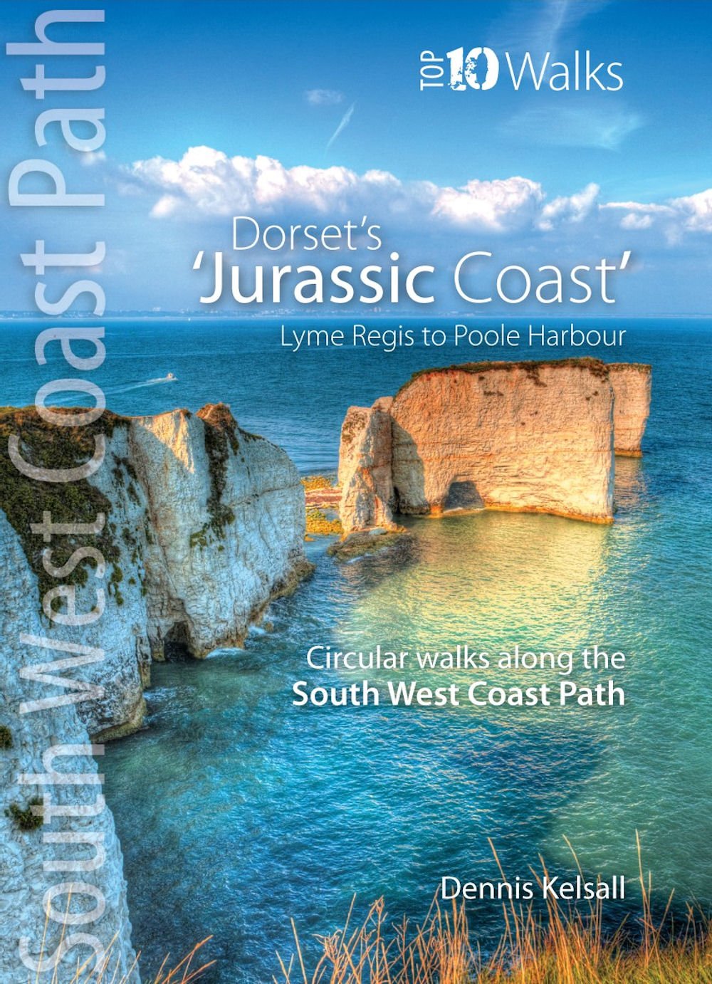
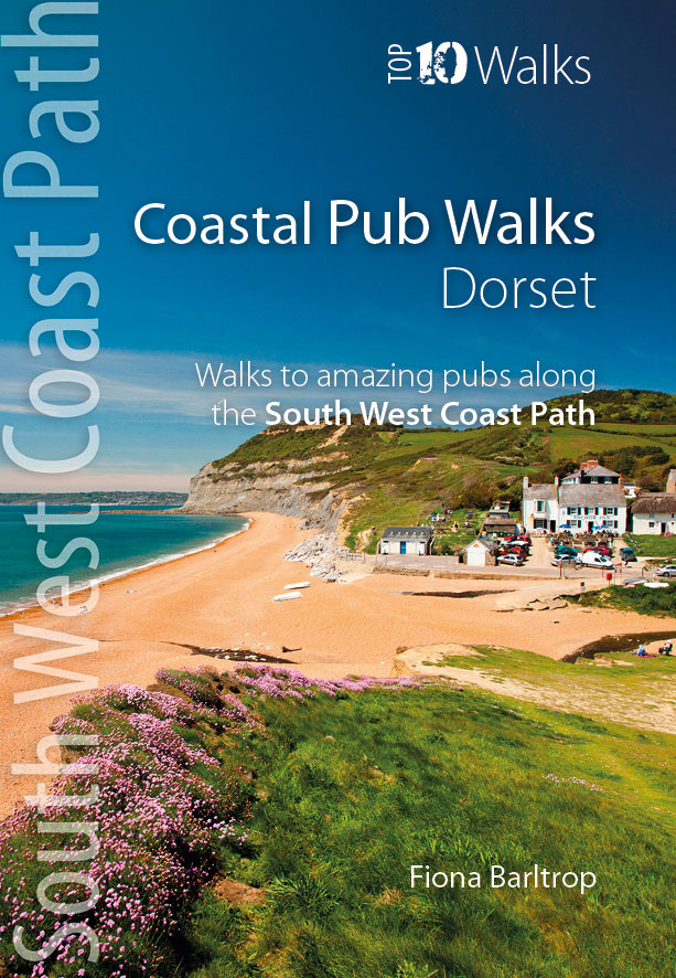
- Coastal Pub Walks: Dorset
- Walks to amazing pubs along the South West Coast Path Read more
- Also available from:
- De Zwerver, Netherlands
- Stanfords, United Kingdom
De Zwerver
Netherlands
2019
Netherlands
2019
- Wandelgids Coastal Pub Walks: Dorset | Northern Eye Books
- Walks to amazing pubs along the South West Coast Path Read more

Stanfords
United Kingdom
2019
United Kingdom
2019
- Coastal Pub Walks: Dorset: Walks to amazing pubs along the South West Coast Path
- One of seven books in the new Top 10 Walks: South West Coast Path series, these attractive and cleverly structured guides will give walkers ten of the best short circular walks along each of the five sections of the 630-mile long South West Coast Path in a popular pocket-size format.With clear information, an overview and introduction for each... Read more