
Normandie
Beschreibung

Coastal region in the north of France, pituresque, traversed by many trails. In the south is a large Nature Park, Parc de Normandie Maine; the E5, GR22 and GR36 bring you into it.
Karte

Wanderwege Region
Links
Fakten
Berichte
Führer und Karten
Übernachtung
Organisationen
Reisebüros
GPS
Sonstiges
Bücher

- Also available from:
- De Zwerver, Netherlands


- Also available from:
- De Zwerver, Netherlands


- Also available from:
- De Zwerver, Netherlands


- Also available from:
- De Zwerver, Netherlands


The Book Depository
United Kingdom
2021
United Kingdom
2021
- Also available from:
- De Zwerver, Netherlands


- Also available from:
- De Zwerver, Netherlands


- Also available from:
- De Zwerver, Netherlands
- Stanfords, United Kingdom

Stanfords
United Kingdom
2021
United Kingdom
2021
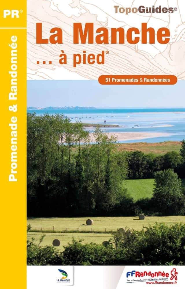
- La Manche à pied
- La Manche à pied, FFRP topo-guide Ref. No. D050, with 51 day walks of varying length and difficulty in the department of La Manche. Coverage extends from Avranches to the tip of the Cotentin Peninsula and includes a walk along the Utah D-Day Beach. Each walk is presented on a separate colour extract from IGN’s topographic survey of France at... Read more

- Also available from:
- De Zwerver, Netherlands


The Book Depository
United Kingdom
United Kingdom
- Also available from:
- Stanfords, United Kingdom

Stanfords
United Kingdom
United Kingdom
- Purbeck & South Dorset - Poole, Dorchester - Weymouth & Swanage OS Explorer Active Map OL15 (waterproof)
- Purbeck and the southern part of Dorset on a detailed topographic and GPS compatible map OL15, waterproof version, from the Ordnance Survey’s 1:25,000 Explorer series. Coverage extends from Poole and Swanage in the east to Bridport in the west, and includes Dorchester, Tolpuddle, Bere Regis, Wareham, Weymouth, Chesil Beach, Portland Bill, the... Read more

- Also available from:
- De Zwerver, Netherlands

Weitere Bücher…

Karten

- Also available from:
- De Zwerver, Netherlands

- Also available from:
- De Zwerver, Netherlands

- Also available from:
- De Zwerver, Netherlands

- Also available from:
- De Zwerver, Netherlands

- Also available from:
- De Zwerver, Netherlands
- Stanfords, United Kingdom
De Zwerver
Netherlands
Netherlands

Stanfords
United Kingdom
United Kingdom
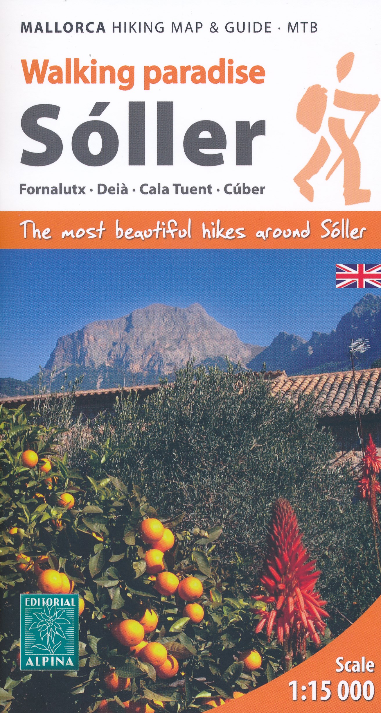
- Sóller - Mallorca Editorial Alpina Map & Guide ENGLISH
- The Valley of Sóller in Mallorca’s Serra de Tranumtana on a very detailed, GPS compatible recreational map at 1:15,000 from Editorial Alpina with hiking routes, mountain bike trails, etc, plus an English language guide with 54 walks. The map has Sóller itself towards its southern edge, and extends in the coastal area from Deià in the south... Read more

- Also available from:
- De Zwerver, Netherlands

- Also available from:
- De Zwerver, Netherlands

- Also available from:
- De Zwerver, Netherlands

- Also available from:
- De Zwerver, Netherlands

- Also available from:
- De Zwerver, Netherlands

- Also available from:
- De Zwerver, Netherlands

The Book Depository
United Kingdom
United Kingdom
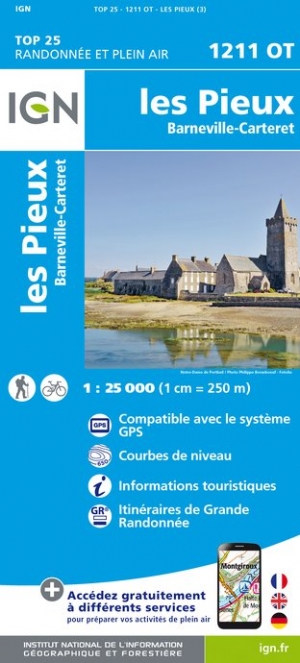
- Les Pieux / Barneville-Carteret
- De wandelkaart die de perfectie benadert! Werkelijk alle topografische details zijn er op te vinden; van hoogtelijnen tot aan bruggetjes en allerlei wandelpaden. Daarnaast hebben de makers een flinke dosis toeristische informatie op de kaart verwerkt: campings, gites d étape; restaurants en ingetekende doorgaande wandelpaden, de grandes... Read more
- Also available from:
- De Zwerver, Netherlands
De Zwerver
Netherlands
Netherlands
- Wandelkaart - Topografische kaart 1211OT Les Pieux, Barneville, Carteret | IGN - Institut Géographique National
- De wandelkaart die de perfectie benadert! Werkelijk alle topografische details zijn er op te vinden; van hoogtelijnen tot aan bruggetjes en allerlei wandelpaden. Daarnaast hebben de makers een flinke dosis toeristische informatie op de kaart verwerkt: campings, gites d étape; restaurants en ingetekende doorgaande wandelpaden, de grandes... Read more

- Also available from:
- De Zwerver, Netherlands

- Also available from:
- De Zwerver, Netherlands
The Book Depository
United Kingdom
United Kingdom
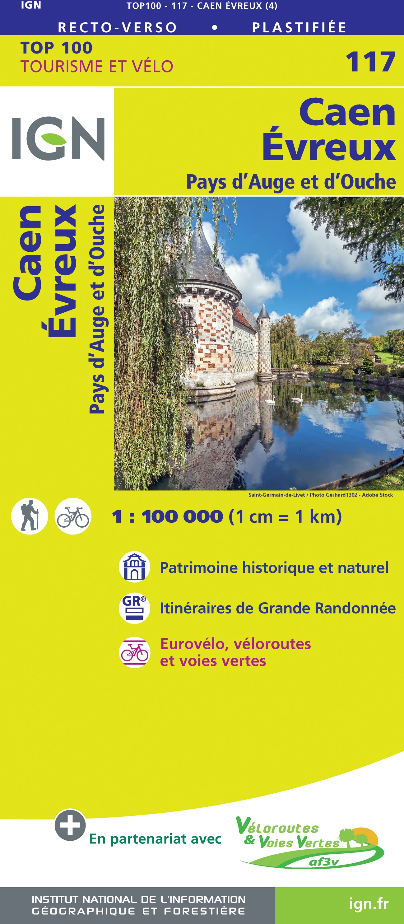
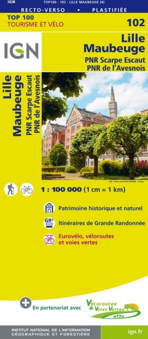
- Lille / Maubeuge / PNR Scarpe Escaut / PNR Avesnois
- Map No. 102, Lille - Maubeuge, at 1:100,000, part of the TOP100 series from the Institut Géographique National (IGN). These exceptionally detailed, contoured and GPS compatible road maps which include English language map legend are ideal for exploring the French countryside by car, by bike, or even on foot. Used by millions of locals and... Read more
- Also available from:
- De Zwerver, Netherlands

De Zwerver
Netherlands
Netherlands
- Fietskaart - Wegenkaart - landkaart 102 Lille - Maubeuge | IGN - Institut Géographique National
- Map No. 102, Lille - Maubeuge, at 1:100,000, part of the TOP100 series from the Institut Géographique National (IGN). These exceptionally detailed, contoured and GPS compatible road maps which include English language map legend are ideal for exploring the French countryside by car, by bike, or even on foot. Used by millions of locals and... Read more