
Frankreich
Beschreibung

France, country of contrasts, home to the inventors of the Topoguide, is a great walking destination all year round. An intricate network of long distance footpaths, the so-called Grands Randonnées, reaches out to the farthest corners of the country. At least 80 long distance trails and their countless variants are meticulously documented and waymarked. Mastering a bit of French will help you find your way, and a bottle of wine at that.
It may be difficult to find information or topo guides for many trails. The exact route - not only the name "GR" - of any hiking trail in France is copyrighted by the FFRP and cannot be published by others without their consent. The maps of IGN usually show all regional PR's and national GR's.
The French themselves are mad about walking, often in groups of about 20, recognisable by their non-stop rather loud conversations lasting from dawn till dusk and snacking on hard boiled eggs en route. So join the crowd and turn bon vivant. Walk the Provence in spring, pass through the wine regions coloured all red in late autumn. Enjoy the Atlantic coast and its birds in May, and the shimmering sun on the glaciers in summer. Explore the Loire in autumn, and the dark forests of the Morvan in winter. Or take a walk all the way from the Atlantic to the Mediterranean right across the Pyrenees along the GR10. Another popular trail is the GR5, from Luxembourg to Nice through the Vosges, the Elzas and the Alps. For those fearless and bursting with energy, the GR20 is a fine challenge. This trail following the highest ridges of the island of Corsica is for the surefooted only.
Another popular walk of course is the TMB, the Tour du Mont Blanc: eight days with views on the highest mountain of Europe, weather permitting. Drawback: crazy busy. Less known, but just as fine, is the Tour du Queyras (GR58), also in the Alps. Other best hikes in the Alps are the Tour de la Vanoise (GR55) or the Tour de l'Oisans (GR54). You can walk the Vallée des Merveilles (GR52). And a bit on the outside of the Alps is the Vercors (GR91 - GR95) and Mt Lubéron (GR97). There you are, now you know what the French themselves like most.
Along most GR's you will find huts or Gites d'Etappe at regular intervals. These are mostly just simple shelters, so bring food to prepare your own meals. Outside the main summer season, with most French back in Paris, the Gites are often closed. In such cases, bring your own tent. Most GR's can be tough but not dangerous, except the GR20.
Karte


Wanderwege
- Camino de BaztanGPX
- Chemin du Roi Dagobert
- E10GPX
- E12GPX
- E2GPX
- E3GPX
- E4GPX
- E5GPX
- E7GPX
- E9GPX
- GR1 - Tour de ParisGPX
- GR10 - Traversée des PyrénéesGPX
- GR101GPX
- GR107 - El Camí dels Bons HomesGPX
- GR11 - Grand Tour de ParisGPX
- GR111 - Sentier de l’EssonneGPX
- GR12 - Amsterdam - ParisGPX
- GR120 - Parc Régional BoulonnaisGPX
- GR121 - Wavre - BoulogneGPX
- GR122 - ScheldelandGPX
- GR123 - À travers la PicardieGPX
- GR124GPX
- GR125GPX
- GR126 (France)GPX
- GR127GPX
- GR128 - VlaanderenrouteGPX
- GR13 - Traversée du MorvanGPX
- GR130 - IJzerGPX
- GR131GPX
- GR137
- GR14 - Sentier de l'ArdenneGPX
- GR14a - Vallée de la MarneGPX
- GR16 - Sentier de la SemoisGPX
- GR2 - Vallée de la SeineGPX
- GR20 - La montagne CorseGPX
- GR21 - Côtes NormandesGPX
- GR211GPX
- GR212GPX
- GR22 - Sentier du Mont Saint-MichelGPX
- GR221GPX
- GR222GPX
- GR223GPX
- GR224GPX
- GR23GPX
- GR25
- GR26GPX
- GR3 - Vallée de la LoireGPX
- GR30 - Volcans et lacs d'AuvergneGPX
- GR300 - Voie du BourbonnaisGPX
- GR31GPX
- GR32GPX
- GR34 - Sentier des DoaniersGPX
- GR340 - Tour de Belle-Île-en-MerGPX
- GR341GPX
- GR347GPX
- GR34AGPX
- GR35GPX
- GR36 - Traversée du PérigordGPX
- GR360 - Tour de la SaintongeGPX
- GR364GPX
- GR37 - Sentier de l'ArgoatGPX
- GR38GPX
- GR380 - Monts d'ArréeGPX
- GR39GPX
- GR4GPX
- GR40 - Tour du VelayGPX
- GR400 - Volcans du CantalGPX
- GR41GPX
- GR412 - Gorges de l’AllierGPX
- GR42GPX
- GR420GPX
- GR427GPX
- GR43GPX
- GR430 - Chemin de Saint Régis
- GR44GPX
- GR440 - Grand tour du Limousin
- GR440B - Petit tour du Limousin
- GR441 - Chaîne des PuysGPX
- GR444
- GR46GPX
- GR461
- GR463GPX
- GR48GPX
- GR49GPX
- GR5GPX
- GR50 - Tour des ÉcrinsGPX
- GR51 - Balcons de la MéditerranéeGPX
- GR510 - Sentier des huit valléesGPX
- GR52 - Vallée des MerveillesGPX
- GR52A - Panoramique du MercantourGPX
- GR53 - Crête des VosgesGPX
- GR533GPX
- GR534GPX
- GR54 - Tour de l'Oisans et des ÉcrinsGPX
- GR541
- GR549
- GR55 - Tour de la VanoiseGPX
- GR559GPX
- GR56 - Tour de l'UbayeGPX
- GR570 - Pays des Trois FrontièresGPX
- GR58 - Tour du QueyrasGPX
- GR59 - Des Vosges au JuraGPX
- GR590
- GR595
- GR6GPX
- GR60 - Monts d'AubracGPX
- GR61GPX
- GR62GPX
- GR63GPX
- GR636
- GR64GPX
- GR646GPX
- GR646 - Traversée du PérigordGPX
- GR65 - Via PodiensisGPX
- GR651GPX
- GR652GPX
- GR653 - Via TolosanaGPX
- GR653A - Via AureliaGPX
- GR653D - Voie d’ArlesGPX
- GR654 - Via LemovicensisGPX
- GR655 - Via TuronensisGPX
- GR66 - Tour du Mont AigoualGPX
- GR67 - Tour du Pays CévenolGPX
- GR68 - Tour du Mont Lozère
- GR7GPX
- GR70 - Chemin de StevensonGPX
- GR700 - Chemin de RégordaneGPX
- GR703 - Sentier de Jeanne d'Arc
- GR71 - Traversée du Haute LanguedocGPX
- GR71CD - Tour du Larzac templier et hospitalier
- GR72GPX
- GR73
- GR74
- GR76
- GR77GPX
- GR78 - Sentier de PiémontGPX
- GR8GPX
- GR83 - Camí del Nord o del CanigóGPX
- GR86GPX
- GR9GPX
- GR90GPX
- GR91 - Traversée du VercorsGPX
- GR92GPX
- GR93GPX
- GR94 - Tour des Hautes-AlpesGPX
- GR946
- GR95GPX
- GR96 - Traversée des BaugesGPX
- GR97 - Tour du LuberonGPX
- GR98 - Les CalanquesGPX
- GR99 - Gorges du VerdonGPX
- GR99AGPX
- GTJ - Grande Traversée du JuraGPX
- GTPA - Grande Traversée des PréalpesGPX
- GTV - Grande Traversée du VercorsGPX
- Haute Route Chamonix-ZermattGPX
- HeuvellandGPX
- HRP - Haute Randonnée PyrénéenneGPX
- Jakobsweg Breisach - Cluny
- Jakobsweg im Elsass
- Jakobsweg Waldshut-Vézelay
- Mare a Mare CentreGPX
- Mare a Mare NordGPX
- Mare a Mare SudGPX
- Mare e Monti SudGPX
- Rhine-Meuse Trail
- Route du Temps
- Santiago de Compostela Pilgrims WayGPX
- SeealpentourGPX
- Sentier CathareGPX
- Templar Trail
- TMB - Tour du Mont BlancGPX
- Tour des monts d'AubracGPX
- Tour du BeaufortainGPX
- Tour du LarzacGPX
- Tour du MorvanGPX
- Tour du Parc du Pilat
- Tra Mare e MontiGPX
- Via AlpinaGPX
- Via ArverniaGPX
- Via BrugensisGPX
- Via FrancigenaGPX
- Via Gallia BelgicaGPX
- Via GebennensisGPX
- Via Thiérache
- Voie Catalane - Roussillon
- Voie de Lourdes
- Voie des PlantagenêtsGPX
- Voie du PiémontGPX
- Voie LittoraleGPX
Regionen
- Alps
- Alsace
- Ardèche
- Auvergne
- Écrins
- Bauges
- Bourgogne
- Bretagne
- Cévennes
- Côte d'Azur
- Chablais
- Champagne-Ardenne
- Charente-Maritime
- Chartreuse
- Corsica
- Dauphiné
- Dordogne
- Drôme
- Giffre
- Gorges du Tarn
- Haute Savoie
- Ile-de-France
- Jura
- Lac Léman
- Languedoc
- Les Landes
- Limousin
- Loire
- Luberon
- Massif Central
- Mercantour
- Mont Blanc
- Morvan
- Normandie
- Paris
- Pays Catalan
- Picardie
- Provence
- Pyrenees
- Queyras
- Seine
- Tarn
- Ubaye
- Vanoise
- Vendée
- Vercors
- Verdon
- Vosges


Links
Fakten
Berichte
Führer und Karten
Übernachtung
Organisationen
Reisebüros
GPS
Sonstiges
Bücher

United Kingdom
2020
- L'ile de la Reunion a pied
- Les sentiers forestiers de l`île de la Réunion, FFRP topo-guide Ref. No.SF01, with 35 day walks of varying length and difficulty on the island. Each walk is presented on a separate colour extract from IGN’s topographic survey at 1:25,000, with its description cross-referenced to the map. Current edition of this title was published in April... Read more
- Also available from:
- Stanfords, United Kingdom

United Kingdom
2020
- L`île de La Réunion... à pied
- Les sentiers forestiers de l`île de la Réunion, FFRP topo-guide Ref. No.SF01, with 35 day walks of varying length and difficulty on the island. Each walk is presented on a separate colour extract from IGN’s topographic survey at 1:25,000, with its description cross-referenced to the map. Current edition of this title was published in April... Read more

- Also available from:
- De Zwerver, Netherlands
- Stanfords, United Kingdom
United Kingdom
2019
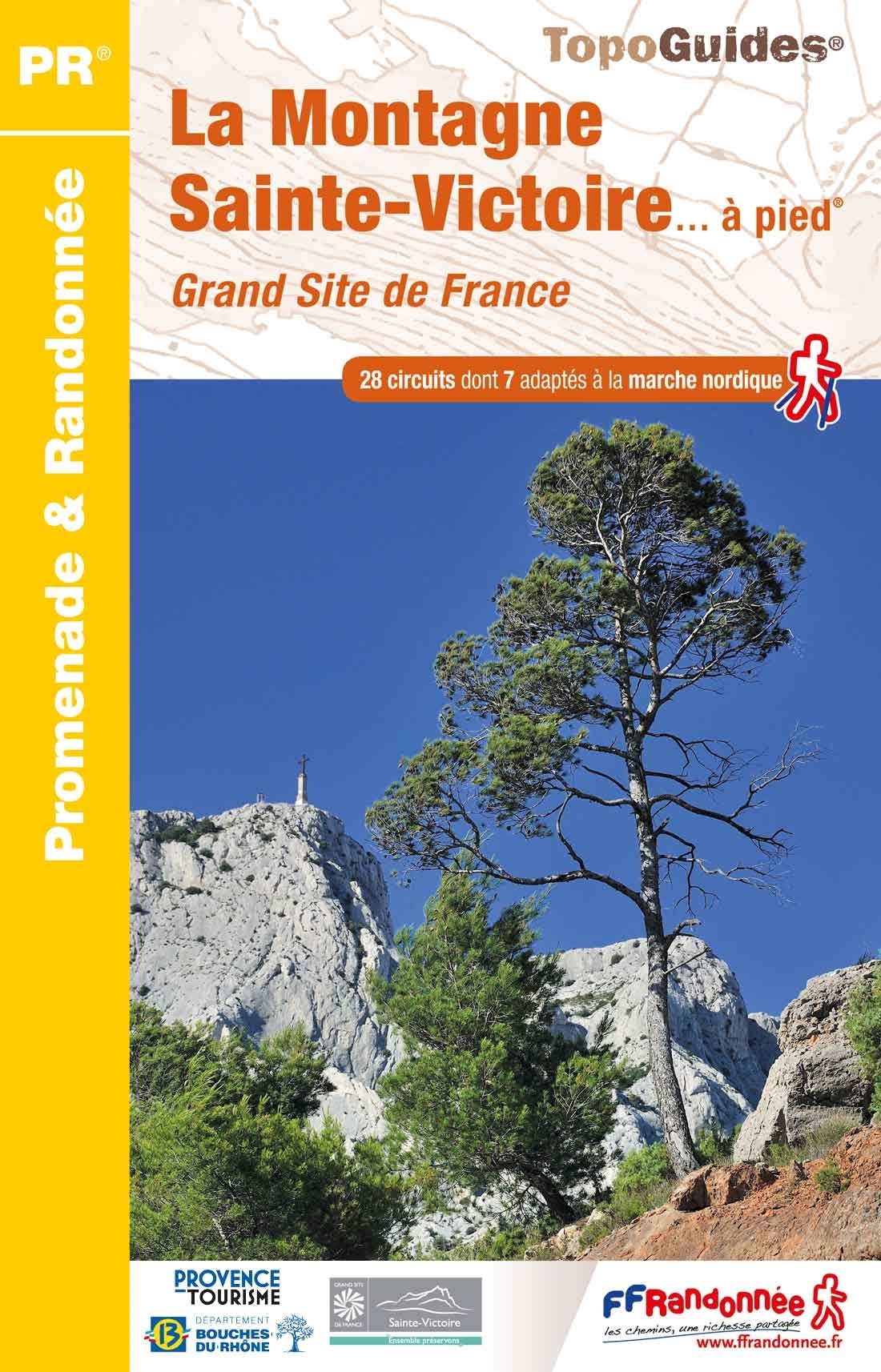
- La Montagne Sainte-Victoire à pied
- La Montagne Sainte-Victoire à pied, FFRP topo-guide Ref. No.P131, with 28 day walks of varying length and difficulty in the mountains just east of Aix-en-Provence, famous from Cezanne’s beautiful paintings of them. Each walk is presented on a separate colour extract from IGN’s topographic survey of France at 1:25,000, with its description... Read more
United Kingdom
2018
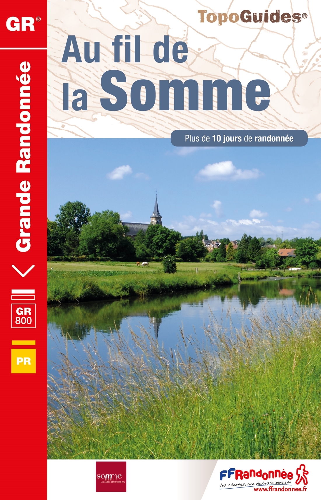
- Au fil de la Somme
- Fout lopen wordt op deze manier wel erg moeilijk. Met symbolen is weergegeven welke voorzieningen (openbaar vervoer / winkels / overnachtingen) er zijn langs of bij de route. De gids bevat een lijst met overnachtingsadressen inclusief telefoonnummers, soms aangevuld met websites/mailadressen. Alle gidsen bevatten een door ons toegevoegde... Read more
- Also available from:
- De Zwerver, Netherlands

Netherlands
2018
- Wandelgids 8000 Au fil de la Somme GR800 | FFRP
- Fout lopen wordt op deze manier wel erg moeilijk. Met symbolen is weergegeven welke voorzieningen (openbaar vervoer / winkels / overnachtingen) er zijn langs of bij de route. De gids bevat een lijst met overnachtingsadressen inclusief telefoonnummers, soms aangevuld met websites/mailadressen. Alle gidsen bevatten een door ons toegevoegde... Read more

United Kingdom
2022
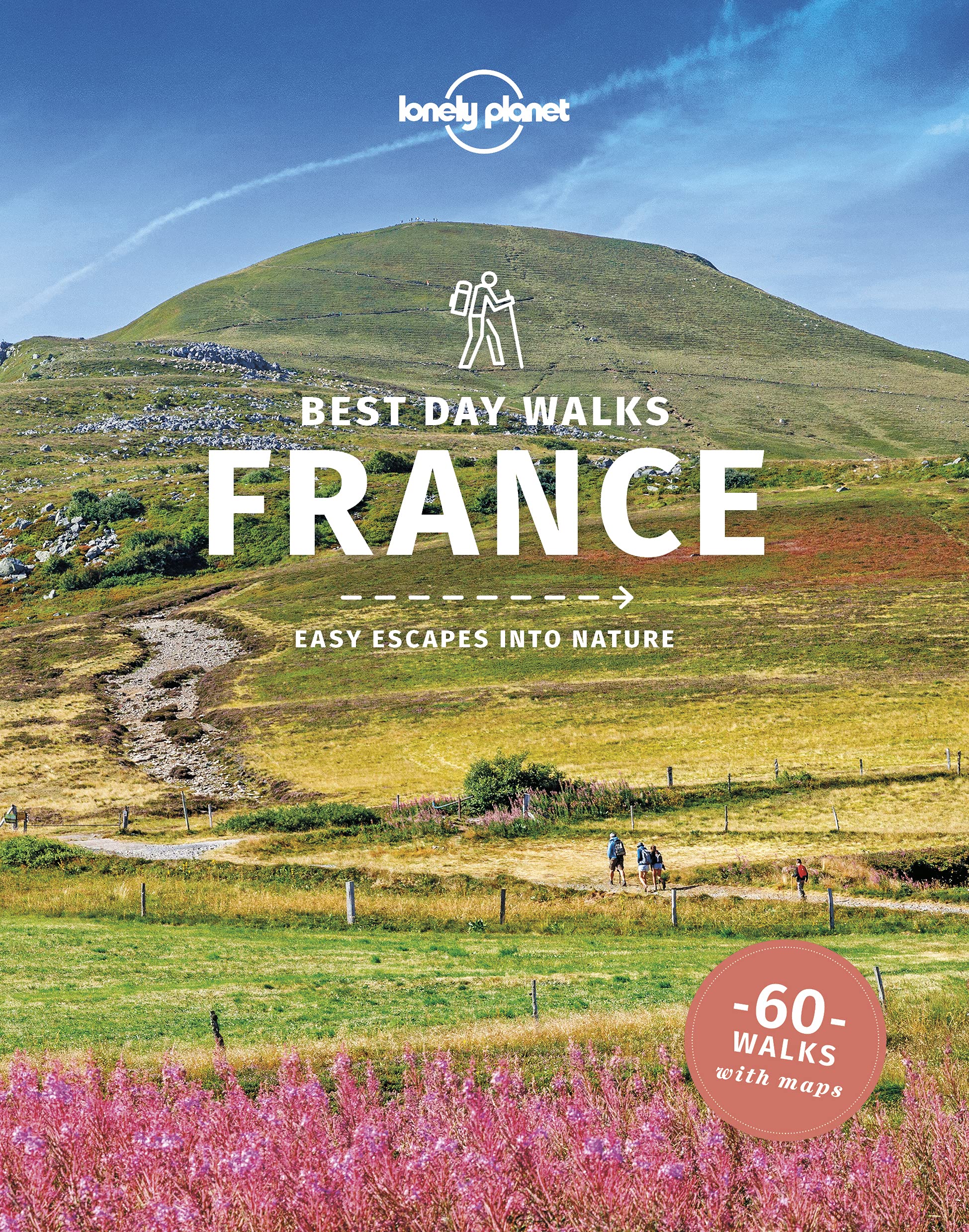
- Lonely Planet Best Day Walks France
- Lonely Planet`s Best Day Walks France is your passport to 60 easy escapes into nature. Stretch your legs away from the city by picking a walk that works for you, from just a couple of hours to a full day, from easy to hard. Explore the Pyrenees, hike the French Alps, and marvel at beautiful Corsica. Inside Lonely Planet`s Best Day Walks... Read more
- Also available from:
- De Zwerver, Netherlands
- Stanfords, United Kingdom
Netherlands
2022
- Wandelgids Best Day Walks France - Frankrijk | Lonely Planet
- Lonely Planet`s Best Day Walks France is your passport to 60 easy escapes into nature. Stretch your legs away from the city by picking a walk that works for you, from just a couple of hours to a full day, from easy to hard. Explore the Pyrenees, hike the French Alps, and marvel at beautiful Corsica. Inside Lonely Planet`s Best Day Walks... Read more
United Kingdom
2022
- Lonely Planet Best Day Walks France
- Lonely Planet`s Best Day Walks France is your passport to 60 easy escapes into nature. Stretch your legs away from the city by picking a walk that works for you, from just a couple of hours to a full day, from easy to hard. Explore the Pyrenees, hike the French Alps, and marvel at beautiful Corsica. Inside Lonely Planet`s Best Day Walks... Read more


United Kingdom
- Nantes metropole et ses environs a pied
- Nantes Métropole et ses environs à pied, FFRP topo-guide Ref. No. P441, with 29 day walks of varying length and difficulty in the city itself and in the surrounding countryside, including a circuit around the environs . Each walk is presented on a separate colour extract from IGN’s topographic survey of France at 1:25,000, with its description... Read more
- Also available from:
- Stanfords, United Kingdom
United Kingdom
- Nantes Métropole à pied
- Nantes Métropole et ses environs à pied, FFRP topo-guide Ref. No. P441, with 29 day walks of varying length and difficulty in the city itself and in the surrounding countryside, including a circuit around the environs . Each walk is presented on a separate colour extract from IGN’s topographic survey of France at 1:25,000, with its description... Read more

- Also available from:
- De Zwerver, Netherlands
- Stanfords, United Kingdom

United Kingdom
2021
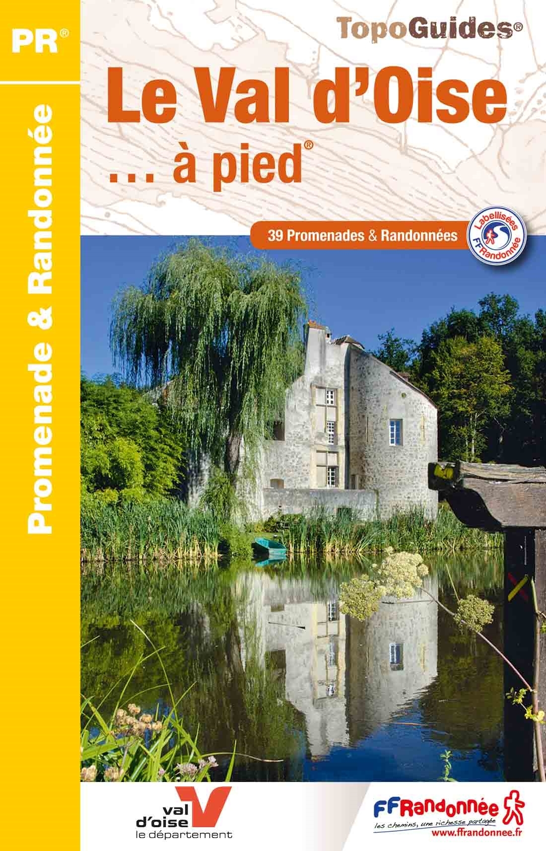
- Val d`Oise a pied - 39 Promenades et Randonnees
- The Val d`Oise is four natural regions to discover. Parisis in the south of the department, Pays de France in the east, a vast agricultural plateau made up of wooded areas (forests of Montmorency and Isle-Adam). The Ysieux valley remains steeped in the ancient activity of the Cistercian monks. There is also the Lys marsh and the Royaumont... Read more

United Kingdom
2018
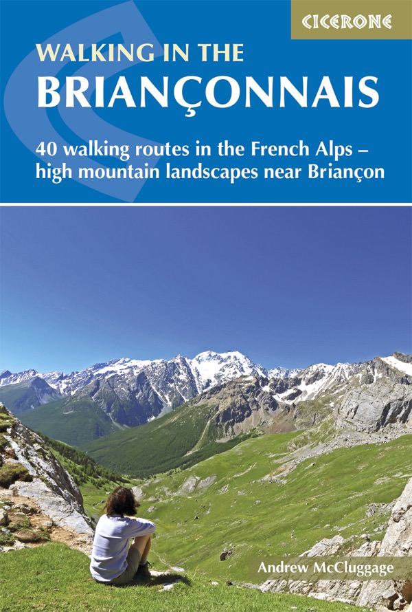
- Walking in the Brianconnais
- 40 walking routes in the French Alps exploring high mountain landscapes near Briancon Read more
- Also available from:
- De Zwerver, Netherlands
- Stanfords, United Kingdom
Netherlands
2018
- Wandelgids Walking in the Briançonnais | Cicerone
- Guidebook of 40 walks around Briançon in France. Walks for all abilities ranging from 1½ to 7hrs. The book focuses on the stunning valleys of Clarée, Cerveyrette, Ayes, Durance and Guisane, and includes the magnificent Alpine landscapes around Vallouise and Montgenèvre. Read more

United Kingdom
2018
- Walking in the Brianconnais: 40 walking routes in the French Alps exploring high mountain landscapes near Briancon
- This guidebook presents 40 walks exploring the area around Briançon in France. The walks are divided into 6 sections covering the valleys of Clarée, Cerveyrette, Ayes, Durance and Guisane, as well as the area around Vallouise and Montgenèvre. The walks are circular and range in distance from 4 to 21 km. Graded easy to very hard, there is a walk... Read more
United Kingdom
2018
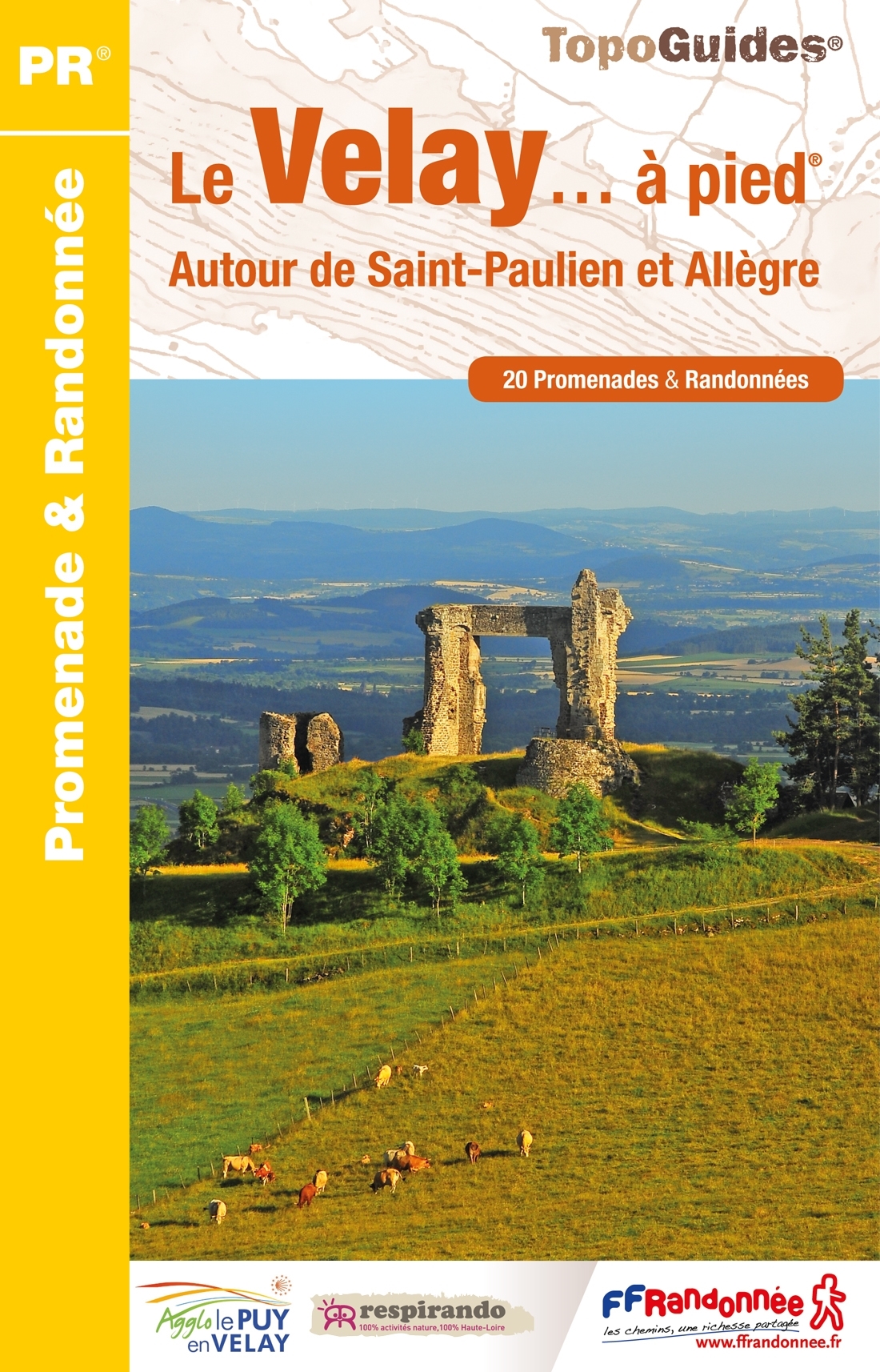
- Le Velay a pied - autour de St-Paulien et Allegre
- Franstalige wandelgids met een beschrijving van een aantal dagtochten. Uitstekende beschrijvingen met duidelijk kaartmateriaal. Mislopen is nauwelijks mogelijk, maar ja .. de franse taal! Ook praktische informatie staat in deze gids. Alle gidsen bevatten een door ons toegevoegde uitgebreide frans - nederlandse wandelwoordenlijst. On a coutume... Read more
- Also available from:
- De Zwerver, Netherlands

Netherlands
2018
- Wandelgids P431 Le Velay... à pied | FFRP
- Franstalige wandelgids met een beschrijving van een aantal dagtochten. Uitstekende beschrijvingen met duidelijk kaartmateriaal. Mislopen is nauwelijks mogelijk, maar ja .. de franse taal! Ook praktische informatie staat in deze gids. Alle gidsen bevatten een door ons toegevoegde uitgebreide frans - nederlandse wandelwoordenlijst. On a coutume... Read more

- Also available from:
- De Zwerver, Netherlands
- Stanfords, United Kingdom
Netherlands

United Kingdom
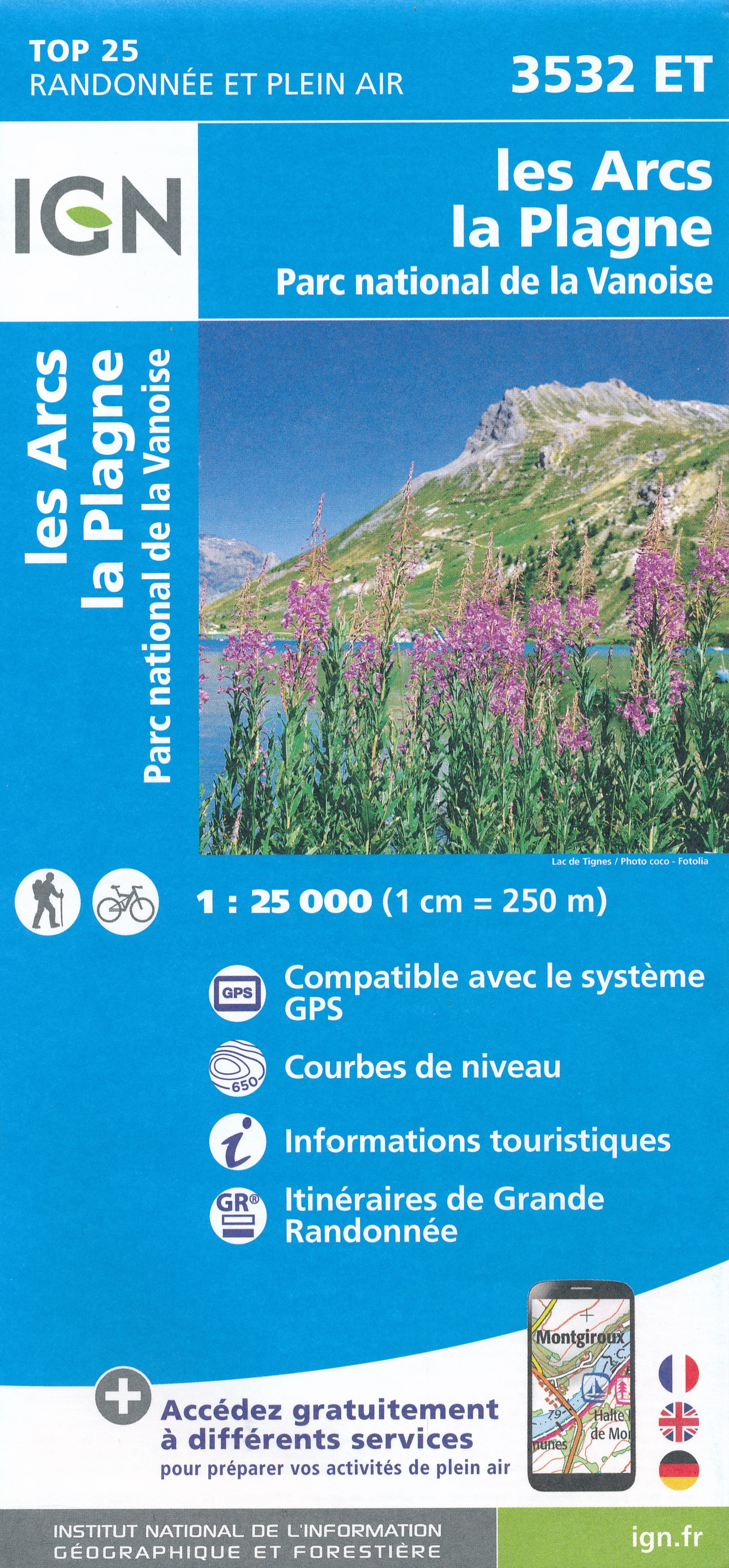
- Les Arcs - La Plagne - PN de la Vanoise IGN 3532ET
- Topographic survey of France at 1:25,000 in IGN`s excellent TOP25 / Série Bleue series. All the maps are GPS compatible, with a 1km UTM grid plus latitude and longitude lines at 5’ intervals. Contours are at 5m intervals except for mountainous areas where the maps have contours at 10m intervals, vividly enhanced by hill shading and graphics for... Read more

United Kingdom
2021
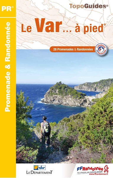
- Le Var � pied 28 promenades & randonn�es
- Le Var à pied, FFRP topo-guide Ref. No. D083, with 29 day walks of varying length and difficulty in the department of Var, including the areas around Toulon, Giens, St. Tropez, Fréjus, Fayence, etc. Each walk is presented on a separate colour extract from IGN’s topographic survey of France at 1:25,000, with its description cross-referenced to... Read more
- Also available from:
- De Zwerver, Netherlands
- Stanfords, United Kingdom
Netherlands
2021
- Wandelgids D083 Le Var... à pied | FFRP
- Le Var à pied, FFRP topo-guide Ref. No. D083, with 29 day walks of varying length and difficulty in the department of Var, including the areas around Toulon, Giens, St. Tropez, Fréjus, Fayence, etc. Each walk is presented on a separate colour extract from IGN’s topographic survey of France at 1:25,000, with its description cross-referenced to... Read more
United Kingdom
2021
- Le Var à pied FFRP Topo-guide D083
- Le Var à pied, FFRP topo-guide Ref. No. D083, with 29 day walks of varying length and difficulty in the department of Var, including the areas around Toulon, Giens, St. Tropez, Fréjus, Fayence, etc. Each walk is presented on a separate colour extract from IGN’s topographic survey of France at 1:25,000, with its description cross-referenced to... Read more


- Also available from:
- De Zwerver, Netherlands
- Stanfords, United Kingdom
Netherlands

United Kingdom
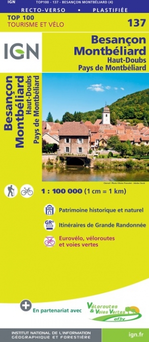
- Besancon - Montbeliard IGN TOP100 137
- Discover the new double-sided laminated edition of TOP100 road maps of France from the Institut Géographique National (IGN); exceptionally detailed, contoured road maps which include the cycle paths and greenways of the AF3V (French Association for the Development of Cycle Paths and Greenways), ideal for exploring the French countryside by car,... Read more

- Also available from:
- De Zwerver, Netherlands
- Stanfords, United Kingdom
United Kingdom
2020
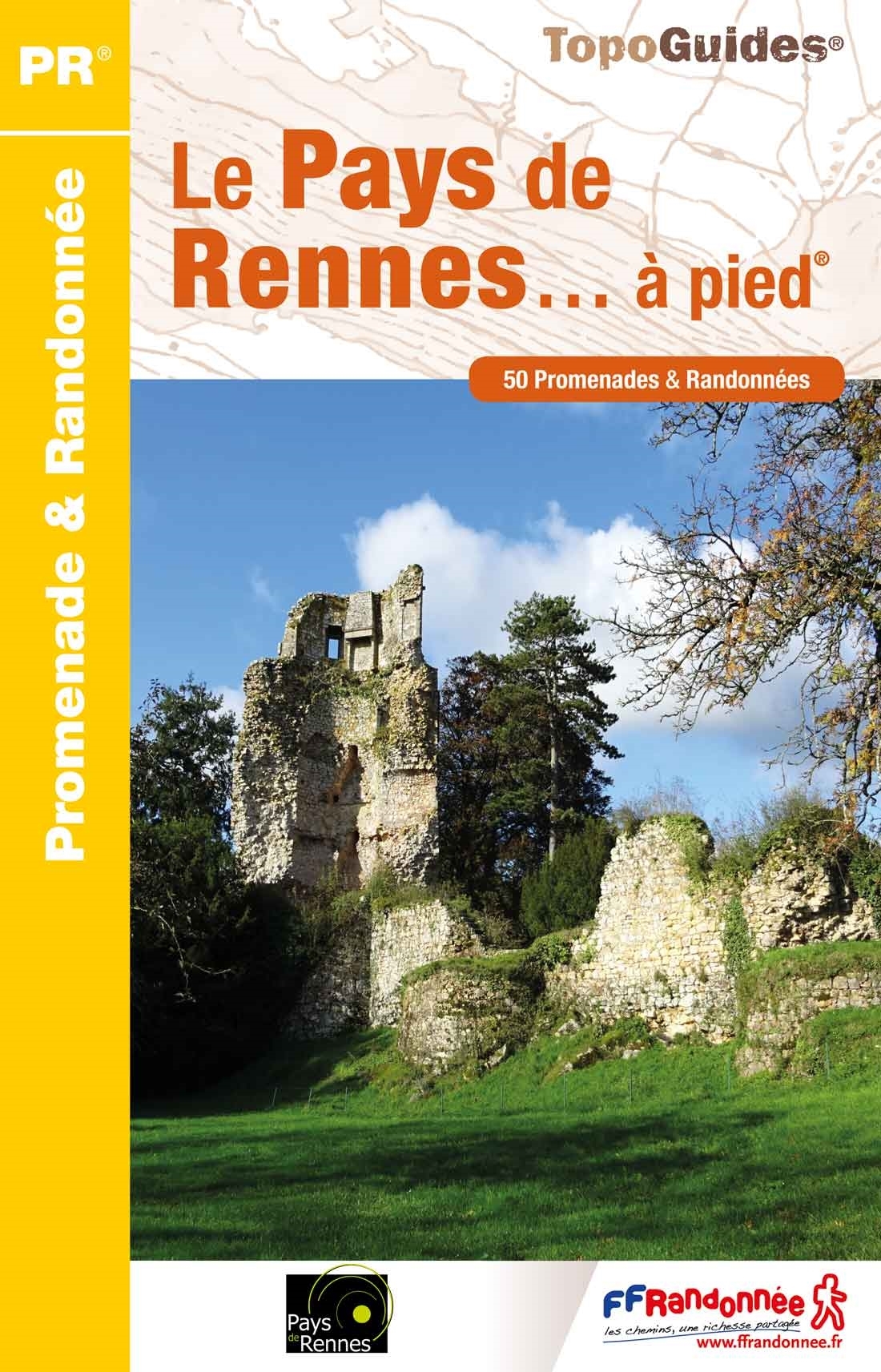
- Le Pays de Rennes à pied
- Le Pays de Rennes à pied, FFRP topo-guide Ref. No. P352, with 50 walks of varying length and difficulty around Rennes. There are walks along the rivers Ille, Seiche and Vilaine and the Canal d`Ille et Rance, and two itineraries explore Rennes itself. Each walk is presented on a separate colour extract from IGN’s topographic survey of France at... Read more
Karten

United Kingdom
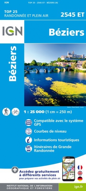
- Beziers
- Topographic survey of France at 1:25,000 in IGN`s excellent TOP25 / Série Bleue series. All the maps are GPS compatible, with a 1km UTM grid plus latitude and longitude lines at 5’ intervals. Contours are at 5m intervals except for mountainous areas where the maps have contours at 10m intervals, vividly enhanced by hill shading and graphics for... Read more
- Also available from:
- De Zwerver, Netherlands
- Stanfords, United Kingdom
Netherlands
- Wandelkaart - Topografische kaart 2545ET Beziers | IGN - Institut Géographique National
- Topographic survey of France at 1:25,000 in IGN`s excellent TOP25 / Série Bleue series. All the maps are GPS compatible, with a 1km UTM grid plus latitude and longitude lines at 5’ intervals. Contours are at 5m intervals except for mountainous areas where the maps have contours at 10m intervals, vividly enhanced by hill shading and graphics for... Read more

United Kingdom
- Beziers IGN 2545ET
- Topographic survey of France at 1:25,000 in IGN`s excellent TOP25 / Série Bleue series. All the maps are GPS compatible, with a 1km UTM grid plus latitude and longitude lines at 5’ intervals. Contours are at 5m intervals except for mountainous areas where the maps have contours at 10m intervals, vividly enhanced by hill shading and graphics for... Read more

- Also available from:
- De Zwerver, Netherlands
- Stanfords, United Kingdom
Netherlands

United Kingdom
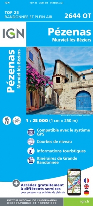
- Pezenas - Murviel-les-Beziers IGN 2644OT
- Topographic survey of France at 1:25,000 in IGN`s excellent TOP25 / Série Bleue series. All the maps are GPS compatible, with a 1km UTM grid plus latitude and longitude lines at 5’ intervals. Contours are at 5m intervals except for mountainous areas where the maps have contours at 10m intervals, vividly enhanced by hill shading and graphics for... Read more

United Kingdom
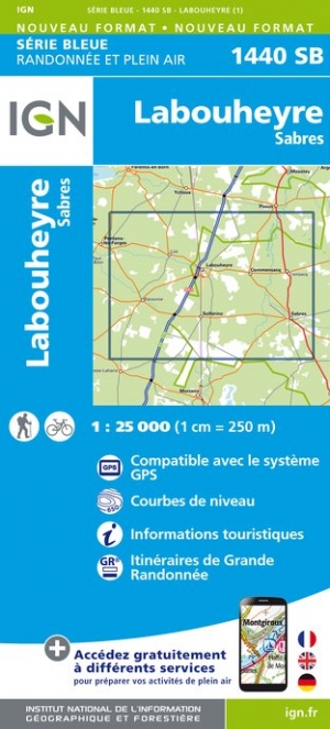
- Labouheyre / Sabres
- Topographic survey of France at 1:25,000 in IGN`s excellent TOP25 / S�rie Bleue series. All the maps are GPS compatible, with a 1km UTM grid plus latitude and longitude lines at 5� intervals. Contours are at 5m intervals except for mountainous areas where the maps have contours at 10m intervals, vividly enhanced by hill shading and graphics for ... Read more
- Also available from:
- De Zwerver, Netherlands
- Stanfords, United Kingdom
Netherlands
- Wandelkaart - Topografische kaart 1440SB Labouheyre | IGN - Institut Géographique National
- Topographic survey of France at 1:25,000 in IGN`s excellent TOP25 / S�rie Bleue series. All the maps are GPS compatible, with a 1km UTM grid plus latitude and longitude lines at 5� intervals. Contours are at 5m intervals except for mountainous areas where the maps have contours at 10m intervals, vividly enhanced by hill shading and graphics for ... Read more

United Kingdom
- Sabres - Labouheyre IGN 1440SB
- Topographic survey of France at 1:25,000 in IGN`s excellent TOP25 / Série Bleue series. All the maps are GPS compatible, with a 1km UTM grid plus latitude and longitude lines at 5’ intervals. Contours are at 5m intervals except for mountainous areas where the maps have contours at 10m intervals, vividly enhanced by hill shading and graphics for... Read more

United Kingdom
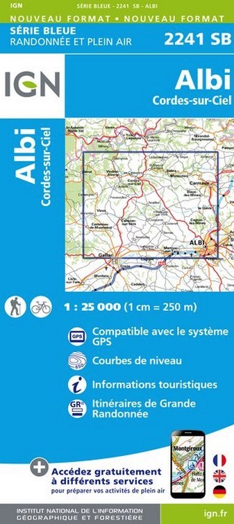
- Albi - Cordes-sur-Ciel
- Topographic survey of France at 1:25,000 in IGN`s excellent TOP25 / Série Bleue series. All the maps are GPS compatible, with a 1km UTM grid plus latitude and longitude lines at 5’ intervals. Contours are at 5m intervals except for mountainous areas where the maps have contours at 10m intervals, vividly enhanced by hill shading and graphics for... Read more
- Also available from:
- De Zwerver, Netherlands
- Stanfords, United Kingdom
Netherlands
- Wandelkaart - Topografische kaart 2241SB Albi, Cordes-sur-Ciel | IGN - Institut Géographique National
- Topographic survey of France at 1:25,000 in IGN`s excellent TOP25 / Série Bleue series. All the maps are GPS compatible, with a 1km UTM grid plus latitude and longitude lines at 5’ intervals. Contours are at 5m intervals except for mountainous areas where the maps have contours at 10m intervals, vividly enhanced by hill shading and graphics for... Read more

United Kingdom
- Albi - Cordes-sur-Ciel IGN 2241SB
- Topographic survey of France at 1:25,000 in IGN`s excellent TOP25 / Série Bleue series. All the maps are GPS compatible, with a 1km UTM grid plus latitude and longitude lines at 5’ intervals. Contours are at 5m intervals except for mountainous areas where the maps have contours at 10m intervals, vividly enhanced by hill shading and graphics for... Read more

United Kingdom
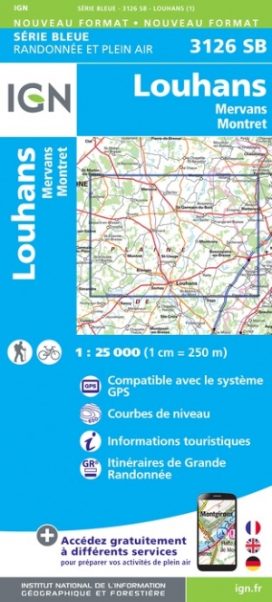
- Louhans / Mervans / Montret
- Topographic survey of France at 1:25,000 in IGN`s excellent TOP25 / Série Bleue series. All the maps are GPS compatible, with a 1km UTM grid plus latitude and longitude lines at 5’ intervals. Contours are at 5m intervals except for mountainous areas where the maps have contours at 10m intervals, vividly enhanced by hill shading and graphics for... Read more
- Also available from:
- De Zwerver, Netherlands
- Stanfords, United Kingdom
Netherlands
- Wandelkaart - Topografische kaart 3126SB Mervans, Montret. Louhans | IGN - Institut Géographique National
- Topographic survey of France at 1:25,000 in IGN`s excellent TOP25 / Série Bleue series. All the maps are GPS compatible, with a 1km UTM grid plus latitude and longitude lines at 5’ intervals. Contours are at 5m intervals except for mountainous areas where the maps have contours at 10m intervals, vividly enhanced by hill shading and graphics for... Read more

United Kingdom
- Louhans - Mervans - Montret IGN 3126SB
- Topographic survey of France at 1:25,000 in IGN`s excellent TOP25 / Série Bleue series. All the maps are GPS compatible, with a 1km UTM grid plus latitude and longitude lines at 5’ intervals. Contours are at 5m intervals except for mountainous areas where the maps have contours at 10m intervals, vividly enhanced by hill shading and graphics for... Read more

United Kingdom
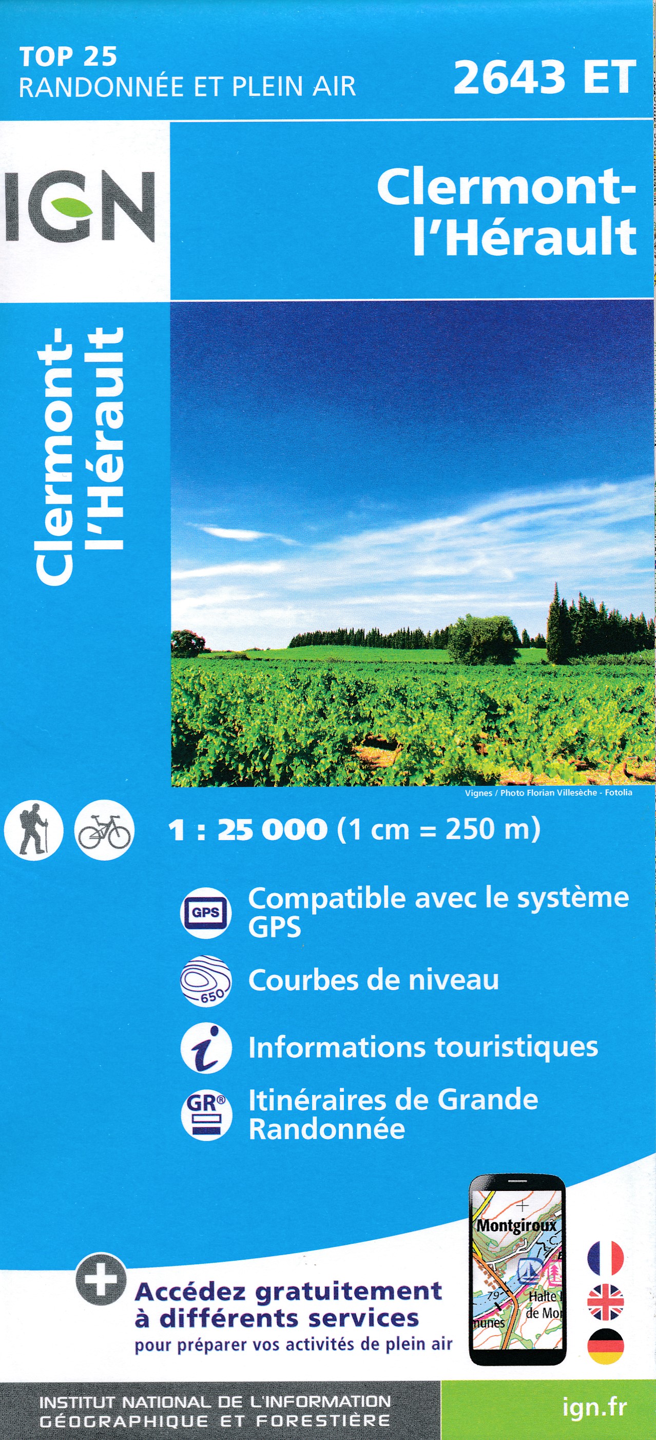
- Clermont-l'Herault
- Topographic survey of France at 1:25,000 in IGN`s excellent TOP25 / Série Bleue series. All the maps are GPS compatible, with a 1km UTM grid plus latitude and longitude lines at 5’ intervals. Contours are at 5m intervals except for mountainous areas where the maps have contours at 10m intervals, vividly enhanced by hill shading and graphics for... Read more
- Also available from:
- De Zwerver, Netherlands
- Stanfords, United Kingdom
Netherlands
- Wandelkaart - Topografische kaart 2643ET Clermont-l'Hérault | IGN - Institut Géographique National
- Topographic survey of France at 1:25,000 in IGN`s excellent TOP25 / Série Bleue series. All the maps are GPS compatible, with a 1km UTM grid plus latitude and longitude lines at 5’ intervals. Contours are at 5m intervals except for mountainous areas where the maps have contours at 10m intervals, vividly enhanced by hill shading and graphics for... Read more

United Kingdom
- Clermont-l`Herault IGN 2643ET
- Topographic survey of France at 1:25,000 in IGN`s excellent TOP25 / Série Bleue series. All the maps are GPS compatible, with a 1km UTM grid plus latitude and longitude lines at 5’ intervals. Contours are at 5m intervals except for mountainous areas where the maps have contours at 10m intervals, vividly enhanced by hill shading and graphics for... Read more

- Also available from:
- De Zwerver, Netherlands
- Stanfords, United Kingdom
Netherlands

United Kingdom
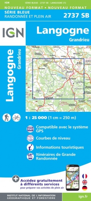
- Langogne - Grandrieu IGN 2737SB
- Topographic survey of France at 1:25,000 in IGN`s excellent TOP25 / Série Bleue series. All the maps are GPS compatible, with a 1km UTM grid plus latitude and longitude lines at 5’ intervals. Contours are at 5m intervals except for mountainous areas where the maps have contours at 10m intervals, vividly enhanced by hill shading and graphics for... Read more

United Kingdom
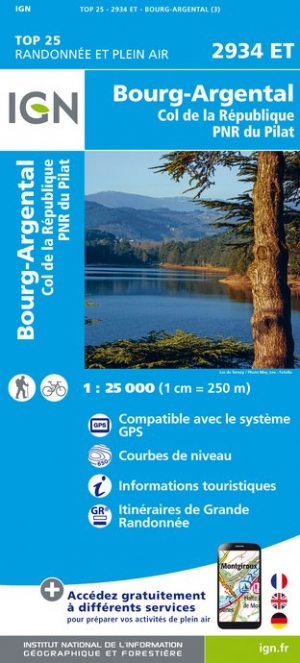
- Bourg-Argental / Col de la Republique / PNR du Pilat
- De wandelkaart die de perfectie benadert! Werkelijk alle topografische details zijn er op te vinden; van hoogtelijnen tot aan bruggetjes en allerlei wandelpaden. Daarnaast hebben de makers een flinke dosis toeristische informatie op de kaart verwerkt: campings, gites d étape; restaurants en ingetekende doorgaande wandelpaden, de grandes... Read more
- Also available from:
- De Zwerver, Netherlands
- Stanfords, United Kingdom
Netherlands
- Wandelkaart - Topografische kaart 2934ET Bourg-Argental - Col de la République - PNR du Pilat Ardéche | IGN - Institut Géographique National
- De wandelkaart die de perfectie benadert! Werkelijk alle topografische details zijn er op te vinden; van hoogtelijnen tot aan bruggetjes en allerlei wandelpaden. Daarnaast hebben de makers een flinke dosis toeristische informatie op de kaart verwerkt: campings, gites d étape; restaurants en ingetekende doorgaande wandelpaden, de grandes... Read more

United Kingdom
- Bourg-Argental - Col de la Republique - PNR du Pilat IGN 2934ET
- De wandelkaart die de perfectie benadert! Werkelijk alle topografische details zijn er op te vinden; van hoogtelijnen tot aan bruggetjes en allerlei wandelpaden. Daarnaast hebben de makers een flinke dosis toeristische informatie op de kaart verwerkt: campings, gites d étape; restaurants en ingetekende doorgaande wandelpaden, de grandes... Read more

- Also available from:
- De Zwerver, Netherlands
- Stanfords, United Kingdom
Netherlands

United Kingdom
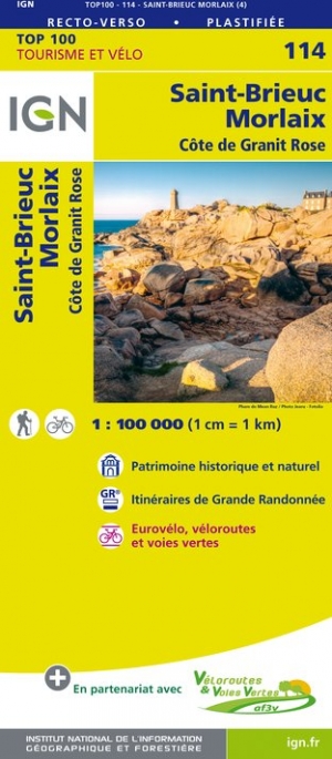
- Saint-Brieuc - Morlaix - Côte de Granit Rose IGN TOP100 114
- Discover the new double-sided laminated edition of TOP100 road maps of France from the Institut Géographique National (IGN); exceptionally detailed, contoured road maps which include the cycle paths and greenways of the AF3V (French Association for the Development of Cycle Paths and Greenways), ideal for exploring the French countryside by car,... Read more

- Also available from:
- De Zwerver, Netherlands
- Stanfords, United Kingdom
Netherlands

United Kingdom
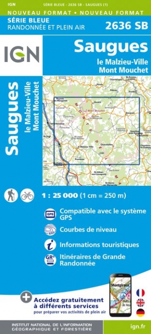
- Saugues - le Malzieu-Ville - Mont Mouchet IGN 2636SB
- Topographic survey of France at 1:25,000 in IGN`s excellent TOP25 / Série Bleue series. All the maps are GPS compatible, with a 1km UTM grid plus latitude and longitude lines at 5’ intervals. Contours are at 5m intervals except for mountainous areas where the maps have contours at 10m intervals, vividly enhanced by hill shading and graphics for... Read more

- Also available from:
- De Zwerver, Netherlands
- Stanfords, United Kingdom
Netherlands


United Kingdom
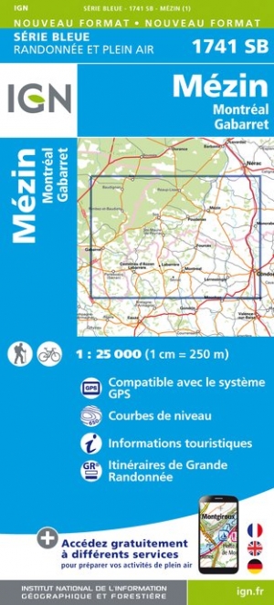
- Mezin / Montreal / Gabarret
- Topographic survey of France at 1:25,000 in IGN`s excellent TOP25 / S�rie Bleue series. All the maps are GPS compatible, with a 1km UTM grid plus latitude and longitude lines at 5� intervals. Contours are at 5m intervals except for mountainous areas where the maps have contours at 10m intervals, vividly enhanced by hill shading and graphics for ... Read more
- Also available from:
- De Zwerver, Netherlands
- Stanfords, United Kingdom
Netherlands
- Wandelkaart - Topografische kaart 1741SB Mézin | IGN - Institut Géographique National
- Topographic survey of France at 1:25,000 in IGN`s excellent TOP25 / S�rie Bleue series. All the maps are GPS compatible, with a 1km UTM grid plus latitude and longitude lines at 5� intervals. Contours are at 5m intervals except for mountainous areas where the maps have contours at 10m intervals, vividly enhanced by hill shading and graphics for ... Read more

United Kingdom
- Mezin - Montreal - Gabarret IGN 1741SB
- Topographic survey of France at 1:25,000 in IGN`s excellent TOP25 / Série Bleue series. All the maps are GPS compatible, with a 1km UTM grid plus latitude and longitude lines at 5’ intervals. Contours are at 5m intervals except for mountainous areas where the maps have contours at 10m intervals, vividly enhanced by hill shading and graphics for... Read more

- Also available from:
- De Zwerver, Netherlands
- Stanfords, United Kingdom
Netherlands

United Kingdom
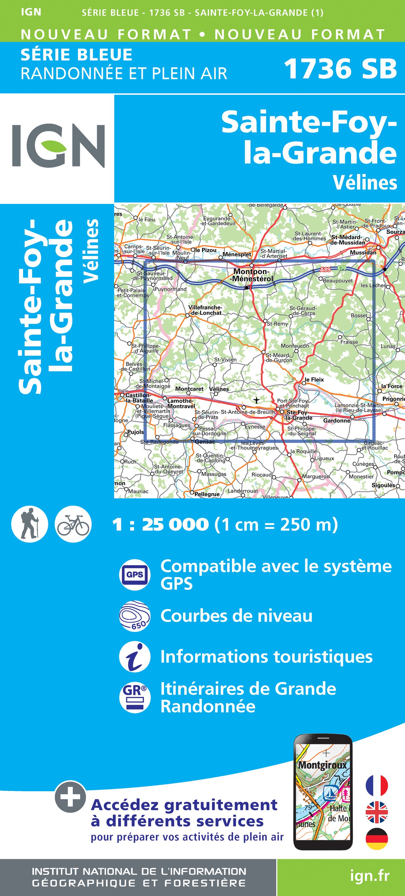
- Sainte-Foy-la-Grande - Velines IGN 1736SB
- Topographic survey of France at 1:25,000 in IGN`s excellent TOP25 / Série Bleue series. All the maps are GPS compatible, with a 1km UTM grid plus latitude and longitude lines at 5’ intervals. Contours are at 5m intervals except for mountainous areas where the maps have contours at 10m intervals, vividly enhanced by hill shading and graphics for... Read more

- Also available from:
- De Zwerver, Netherlands
- Stanfords, United Kingdom
Netherlands
United Kingdom
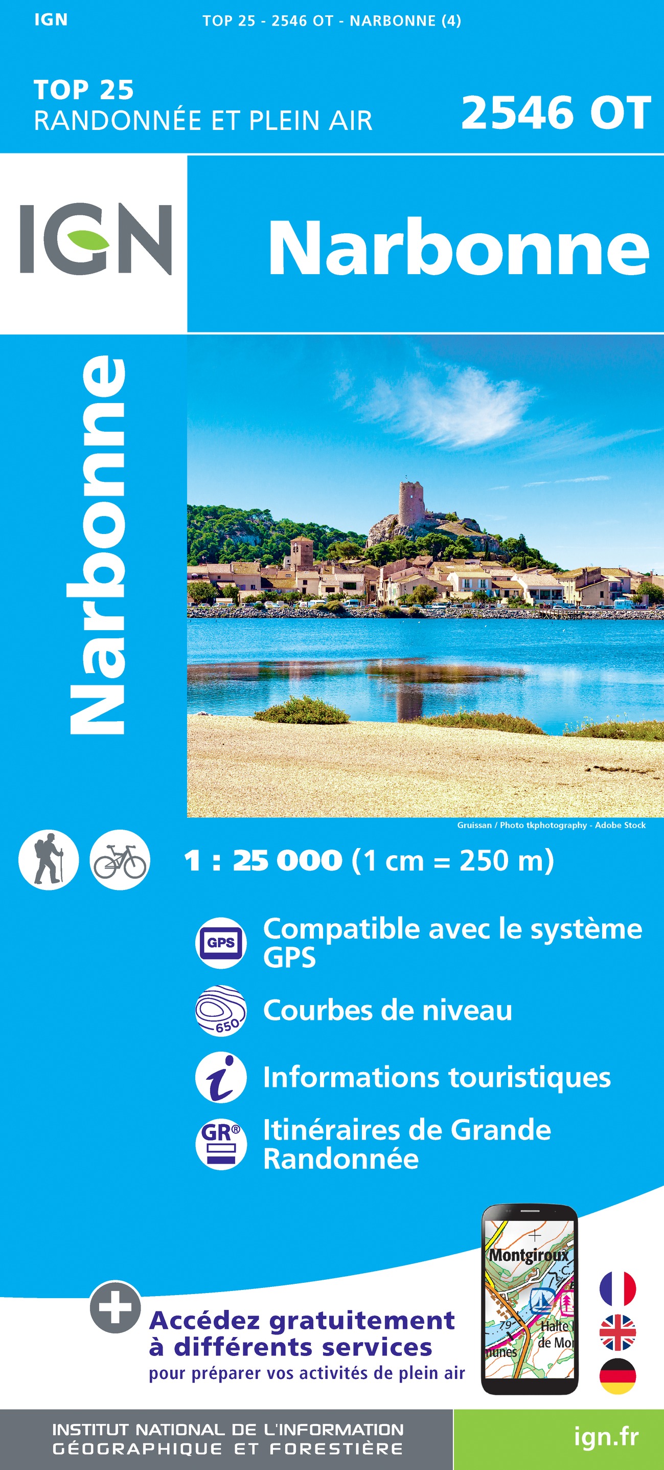
- Narbonne IGN 2546OT
- Topographic survey of France at 1:25,000 in IGN`s excellent TOP25 / Série Bleue series. All the maps are GPS compatible, with a 1km UTM grid plus latitude and longitude lines at 5’ intervals. Contours are at 5m intervals except for mountainous areas where the maps have contours at 10m intervals, vividly enhanced by hill shading and graphics for... Read more

- Also available from:
- De Zwerver, Netherlands
- Stanfords, United Kingdom
Netherlands

United Kingdom
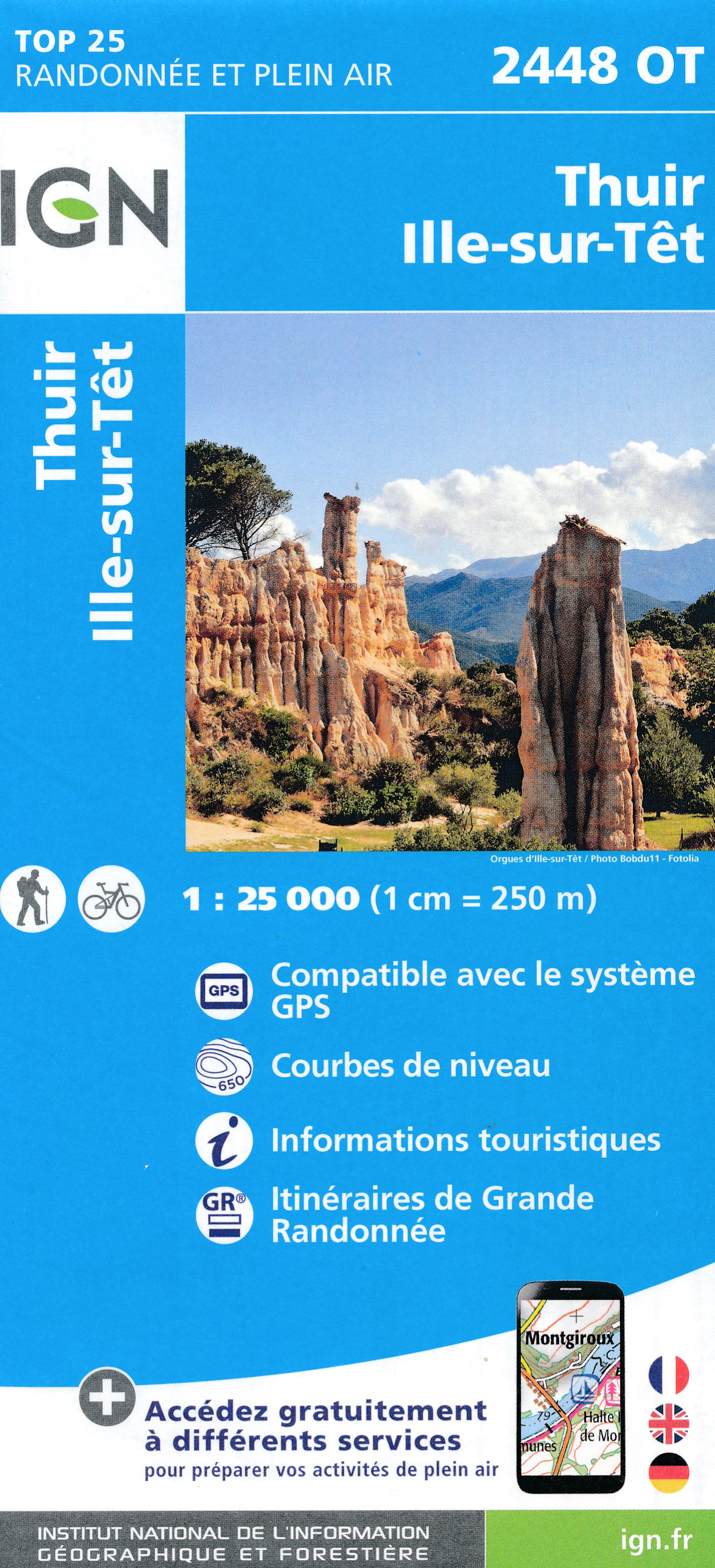
- Thuir - Ille-sur-Tet IGN 2448OT
- Topographic survey of France at 1:25,000 in IGN`s excellent TOP25 / Série Bleue series. All the maps are GPS compatible, with a 1km UTM grid plus latitude and longitude lines at 5’ intervals. Contours are at 5m intervals except for mountainous areas where the maps have contours at 10m intervals, vividly enhanced by hill shading and graphics for... Read more