
Mercantour
Beschreibung

The Massif du Mercantour is the southernmost high Alpine region in France, bordering on Italy. The Italian part of the massif is called Alpi Marittimi. Highest summit is the Cime du Gélas, 3.143 m. This region is relatively remote and offers varied landscapes. With more sunshine, less snow, no glaciers, it makes a good hiking destination; the GR5 traverses the Mercantour from north to south. Maybe you encounter a wolf somewhere, if not chased by an angry shepherd!
Karte

Wanderwege Region
Links
Fakten
Berichte
Führer und Karten
Übernachtung
Organisationen
Reisebüros
GPS
Sonstiges
Bücher

- Also available from:
- De Zwerver, Netherlands
- Stanfords, United Kingdom

De Zwerver
Netherlands
Netherlands

Stanfords
United Kingdom
United Kingdom
- Cheviot Hills - Jedburgh & Wooler OS Explorer Map OL16 (paper)
- The Cheviot Hills on a detailed topographic and GPS compatible map OL16, paper version, from the Ordnance Survey’s 1:25,000 Explorer series. Coverage includes Jedburgh, Woolmer, part of the Northumberland National Park, the peaks of The Cheviot, Corby Pike, Cold Law, Scrathy Holes and Windy Gyle, Catcleugh Reservoir, sections of the Pennine Way... Read more

- Also available from:
- De Zwerver, Netherlands
- Stanfords, United Kingdom

De Zwerver
Netherlands
Netherlands

Stanfords
United Kingdom
United Kingdom
- Cheltenham, Cirencester & Stow-on-the-Wold OS Landranger Map 163 (paper)
- Cheltenham and Cirencester area, including sections of the Thames Path, the Cotswold Way and the E2 European Long-distance Path, on a paper version of map No. 163 from the Ordnance Survey’s Landranger series at 1:50,000, with contoured and GPS compatible topographic mapping plus tourist information.MOBILE DOWNLOADS: As well as the physical... Read more

- Also available from:
- De Zwerver, Netherlands
- Stanfords, United Kingdom

De Zwerver
Netherlands
Netherlands

Stanfords
United Kingdom
United Kingdom
- Oxford, Chipping Norton & Bicester OS Landranger Map 164 (paper)
- Oxford area, including sections of the Thames Path and the E2 European Long-distance Path, on a paper version of map No. 164 from the Ordnance Survey’s Landranger series at 1:50,000, with contoured and GPS compatible topographic mapping plus tourist information.MOBILE DOWNLOADS: As well as the physical edition of the map, each Landranger title... Read more

- Also available from:
- Stanfords, United Kingdom

Stanfords
United Kingdom
United Kingdom
- Dorking, Reigate, Crawley & Horsham OS Landranger Active Map 187 (waterproof)
- Dorking and Reigate area, including a section of the North Downs Way / E2 European Long-distance Path, on a waterproof and tear-resistant OS Active version of map No. 187 from the Ordnance Survey’s Landranger series at 1:50,000, with contoured and GPS compatible topographic mapping plus tourist information.MOBILE DOWNLOADS: As well as the... Read more

- Also available from:
- De Zwerver, Netherlands

- Also available from:
- De Zwerver, Netherlands
- Stanfords, United Kingdom

De Zwerver
Netherlands
Netherlands

Stanfords
United Kingdom
United Kingdom
- Bury St Edmunds, Sudbury & Stowmarket OS Landranger Map 155 (paper)
- Suffolk around Bury St Edmunds, Sudbury and Stowmarket, including part of the E2 European Long-distance path, on a paper version of map No. 155 from the Ordnance Survey’s Landranger series at 1:50,000, with contoured and GPS compatible topographic mapping plus tourist information.MOBILE DOWNLOADS: As well as the physical edition of the map,... Read more

- Also available from:
- De Zwerver, Netherlands
- Stanfords, United Kingdom

De Zwerver
Netherlands
2016
Netherlands
2016

Stanfords
United Kingdom
2016
United Kingdom
2016
- North York Moors Western OS Explorer Map OL26 (paper)
- The western part of the North York Moors National Park on a detailed topographic and GPS compatible map OL26, paper version, from the Ordnance Survey’s 1:25,000 Explorer series. Coverage extends from Ampleforth in the south northwards to Saltburn-by-the-Sea, and from Ingleby Arncliffe to Danby, Castleton and Hutton-le-Hole, and includes... Read more

- Also available from:
- Stanfords, United Kingdom

Stanfords
United Kingdom
United Kingdom
- Canterbury, East Kent, Dover & Margate OS Landranger Active Map 179 (waterproof)
- Eastern Kent with Canterbury, Dover and Margate, including sections of the North Downs Way and the E2 and E9 European Long-Distance Paths, on a waterproof and tear-resistant OS Active version of map No. 179 from the Ordnance Survey’s Landranger series at 1:50,000, with contoured and GPS compatible topographic mapping plus tourist... Read more

The Book Depository
United Kingdom
2022
United Kingdom
2022
- Also available from:
- De Zwerver, Netherlands


- Also available from:
- Stanfords, United Kingdom

Stanfords
United Kingdom
United Kingdom
- Kettering, Corby, Market Harborough & Stamford OS Landranger Active Map 141 (waterproof)
- The area around Kettering, Corby, Market Harborough and Stamford, including Rockingham Forest and part of the E2 European Long-distance Path, on a waterproof and tear-resistant OS Active version of map No. 141 from the Ordnance Survey’s Landranger series at 1:50,000, with contoured and GPS compatible topographic mapping plus tourist... Read more

- Also available from:
- Stanfords, United Kingdom

Stanfords
United Kingdom
United Kingdom
- Birmingham, Wolverhampton & The Black Country OS Landranger Active Map 139 (waterproof)
- Birmingham with the surrounding area including the Black Country, Wolverhampton, Walsall, Solihull, Stourbridge, Bromsgrove and a section of the E2 European Long-distance Path on a waterproof and tear-resistant OS Active version of map No. 139 from the Ordnance Survey’s Landranger series at 1:50,000, with contoured and GPS compatible... Read more

- Also available from:
- Stanfords, United Kingdom

Stanfords
United Kingdom
United Kingdom
- Cheviot Hills - Jedburgh & Wooler OS Explorer Active Map OL16 (waterproof)
- The Cheviot Hills on a detailed topographic and GPS compatible map OL16, waterproof version, from the Ordnance Survey’s 1:25,000 Explorer series. Coverage includes Jedburgh, Woolmer, part of the Northumberland National Park, the peaks of The Cheviot, Corby Pike, Cold Law, Scrathy Holes and Windy Gyle, Catcleugh Reservoir, sections of the... Read more

The Book Depository
United Kingdom
2018
United Kingdom
2018
- The GR5 Trail - Benelux and Lorraine
- The North Sea to Schirmeck in the Vosges mountains Read more
- Also available from:
- De Zwerver, Netherlands

De Zwerver
Netherlands
2018
Netherlands
2018
- Wandelgids The GR5 Trail Benelux and Lorraine | Cicerone
- Guidebook to walking the northern section of the GR5 - 1000km starting in Hoek van Holland and passing through the Netherlands, Belgium, Luxembourg and Lorraine to Schirmeck in France. A long-distance route covering a variety of cultures and landscapes. The full GR5 from the North Sea to the Mediterranean is one of the world's greatest trails. Read more

- Also available from:
- De Zwerver, Netherlands
- Stanfords, United Kingdom

De Zwerver
Netherlands
Netherlands

Stanfords
United Kingdom
United Kingdom
- Canterbury, East Kent, Dover & Margate OS Landranger Map 179 (paper)
- Eastern Kent with Canterbury, Dover and Margate, including sections of the North Downs Way and the E2 and E9 European Long-Distance Paths, on a paper version of map No. 179 from the Ordnance Survey’s Landranger series at 1:50,000, with contoured and GPS compatible topographic mapping plus tourist information.MOBILE DOWNLOADS: As well as the... Read more

- Also available from:
- Stanfords, United Kingdom

Stanfords
United Kingdom
United Kingdom
- Peterborough, Market Deeping & Chatteris OS Landranger Active Map 142 (waterproof)
- The area around Peterborough, Market Deeping and Chatteris, including the Fens of the North and Middle Levels with part of the E2 European Long-distance Path, on a waterproof and tear-resistant OS Active version of map No. 142 from the Ordnance Survey’s Landranger series at 1:50,000, with contoured and GPS compatible topographic mapping plus... Read more
Karten

The Book Depository
United Kingdom
United Kingdom
- Vallees de la Bevera / Vallees Paillons / PNR Mercantour
- De wandelkaart die de perfectie benadert! Werkelijk alle topografische details zijn er op te vinden; van hoogtelijnen tot aan bruggetjes en allerlei wandelpaden. Daarnaast hebben de makers een flinke dosis toeristische informatie op de kaart verwerkt: campings, gites d étape; restaurants en ingetekende doorgaande wandelpaden, de grandes... Read more
- Also available from:
- Stanfords, United Kingdom

Stanfords
United Kingdom
United Kingdom
- Vallees de la Bevera - Vallees des Paillons - Parc National du Mercantour IGN 3741ET
- Topographic survey of France at 1:25,000 in IGN`s excellent TOP25 / Série Bleue series. All the maps are GPS compatible, with a 1km UTM grid plus latitude and longitude lines at 5’ intervals. Contours are at 5m intervals except for mountainous areas where the maps have contours at 10m intervals, vividly enhanced by hill shading and graphics for... Read more

The Book Depository
United Kingdom
United Kingdom
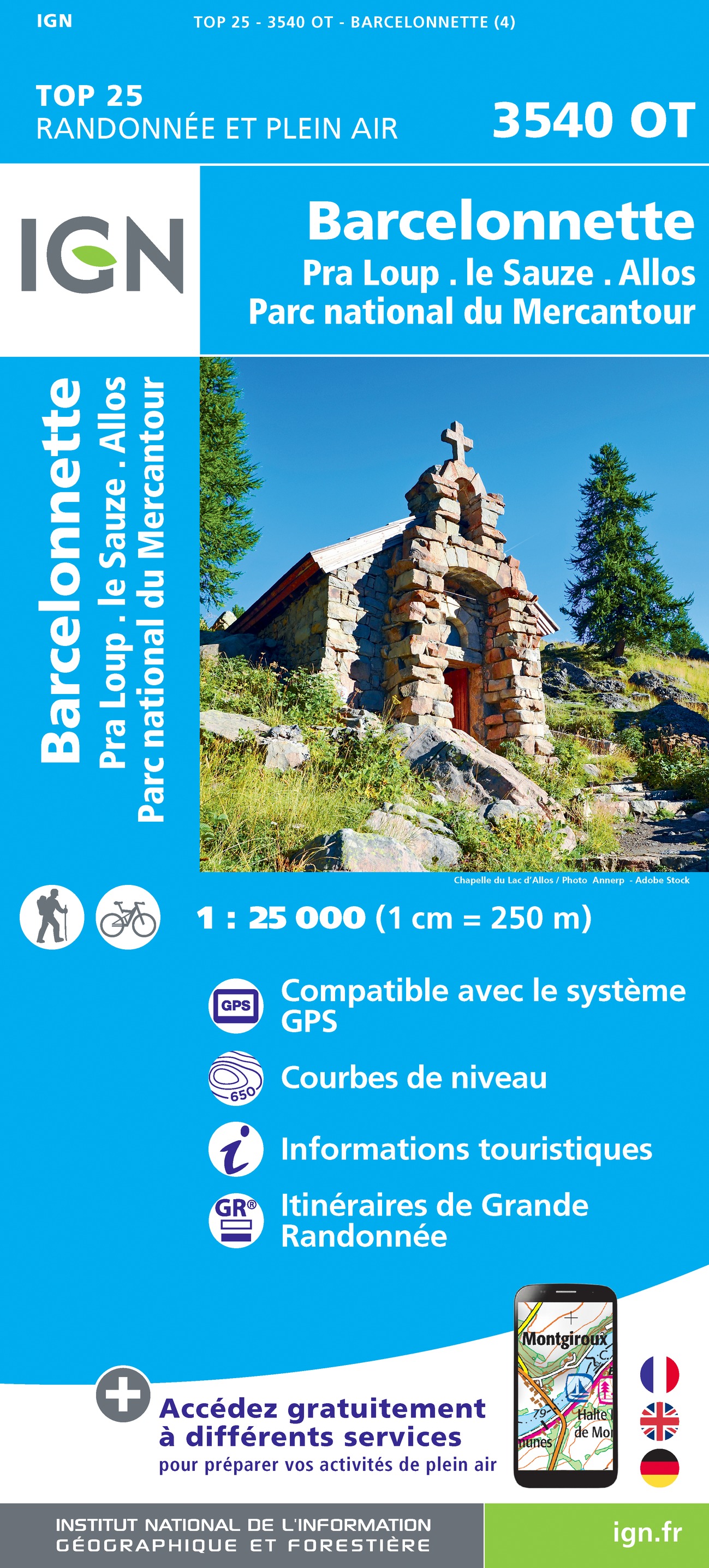
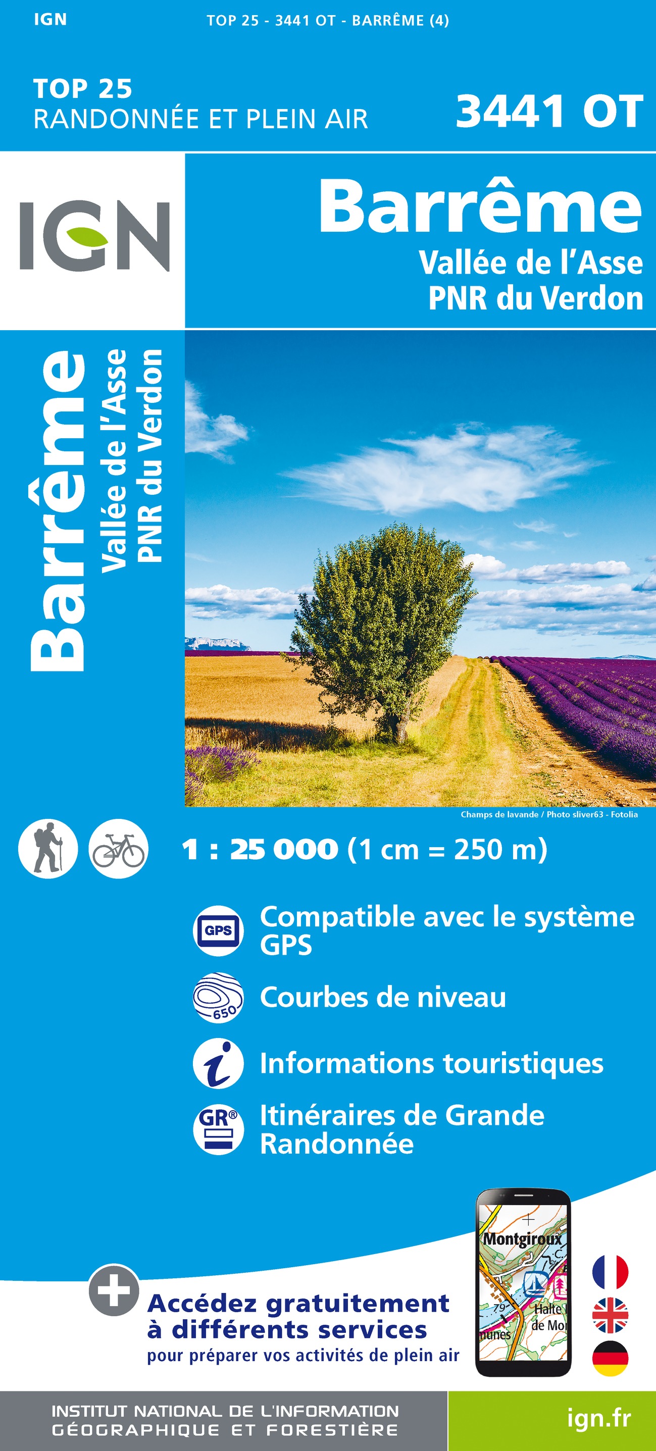
- Barreme / Vallee de l'Asse / PNR du Verdon
- Topographic survey of France at 1:25,000 in IGN`s excellent TOP25 / Série Bleue series. All the maps are GPS compatible, with a 1km UTM grid plus latitude and longitude lines at 5’ intervals. Contours are at 5m intervals except for mountainous areas where the maps have contours at 10m intervals, vividly enhanced by hill shading and graphics for... Read more
- Also available from:
- De Zwerver, Netherlands
- Stanfords, United Kingdom
De Zwerver
Netherlands
Netherlands
- Wandelkaart - Topografische kaart 3441OT Barrême | IGN - Institut Géographique National
- Topographic survey of France at 1:25,000 in IGN`s excellent TOP25 / Série Bleue series. All the maps are GPS compatible, with a 1km UTM grid plus latitude and longitude lines at 5’ intervals. Contours are at 5m intervals except for mountainous areas where the maps have contours at 10m intervals, vividly enhanced by hill shading and graphics for... Read more

Stanfords
United Kingdom
United Kingdom
- Barreme - Vallee de l`Asse - PNR du Verdon IGN 3441OT
- Topographic survey of France at 1:25,000 in IGN`s excellent TOP25 / Série Bleue series. All the maps are GPS compatible, with a 1km UTM grid plus latitude and longitude lines at 5’ intervals. Contours are at 5m intervals except for mountainous areas where the maps have contours at 10m intervals, vividly enhanced by hill shading and graphics for... Read more

- Also available from:
- De Zwerver, Netherlands
- Stanfords, United Kingdom
De Zwerver
Netherlands
Netherlands

Stanfords
United Kingdom
United Kingdom
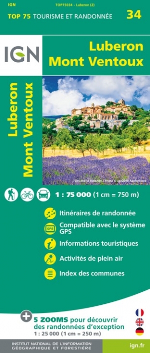
- Luberon - Mont-Ventoux IGN 75034
- TOP75 IGN maps (Tourism & Hiking) are ideal for discovering exceptional regions. Thanks to their ultra-precise mapping at a scale of 1:75,000, you can practice your favorite leisure activities: on foot by bike or by car. These maps include, in addition, 5 extracts of TOP25 at a scale of 1:25,000 for hiking in exceptional natural sites. Read more

- Also available from:
- De Zwerver, Netherlands
- Stanfords, United Kingdom
De Zwerver
Netherlands
Netherlands

Stanfords
United Kingdom
United Kingdom
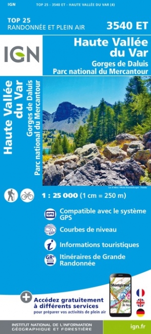
- Haute Vallee du Var - Gorges de Daluis - PN du Mercantour IGN 3540ET
- Topographic survey of France at 1:25,000 in IGN`s excellent TOP25 / Série Bleue series. All the maps are GPS compatible, with a 1km UTM grid plus latitude and longitude lines at 5’ intervals. Contours are at 5m intervals except for mountainous areas where the maps have contours at 10m intervals, vividly enhanced by hill shading and graphics for... Read more

The Book Depository
United Kingdom
United Kingdom
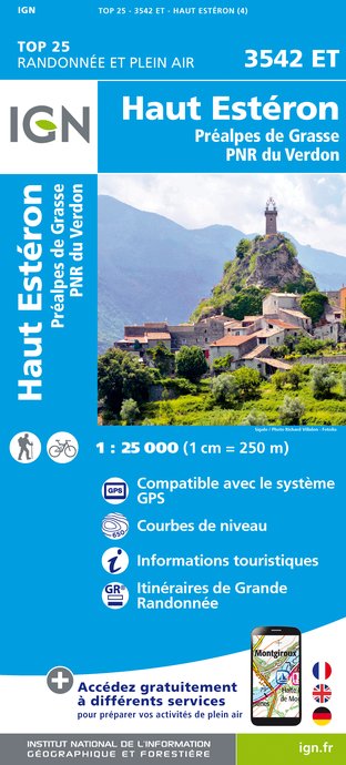
- Haute Esteron / Prealpes de Grasse / PNR Verdon
- Topographic survey of France at 1:25,000 in IGN`s excellent TOP25 / Série Bleue series. All the maps are GPS compatible, with a 1km UTM grid plus latitude and longitude lines at 5’ intervals. Contours are at 5m intervals except for mountainous areas where the maps have contours at 10m intervals, vividly enhanced by hill shading and graphics for... Read more
- Also available from:
- De Zwerver, Netherlands
- Stanfords, United Kingdom
De Zwerver
Netherlands
Netherlands
- Wandelkaart - Topografische kaart 3542ET Haute Estéron | IGN - Institut Géographique National
- Topographic survey of France at 1:25,000 in IGN`s excellent TOP25 / Série Bleue series. All the maps are GPS compatible, with a 1km UTM grid plus latitude and longitude lines at 5’ intervals. Contours are at 5m intervals except for mountainous areas where the maps have contours at 10m intervals, vividly enhanced by hill shading and graphics for... Read more

Stanfords
United Kingdom
United Kingdom
- Haut-Esteron - Prealpes de Grasse - PNR du Verdon IGN 3542ET
- Topographic survey of France at 1:25,000 in IGN`s excellent TOP25 / Série Bleue series. All the maps are GPS compatible, with a 1km UTM grid plus latitude and longitude lines at 5’ intervals. Contours are at 5m intervals except for mountainous areas where the maps have contours at 10m intervals, vividly enhanced by hill shading and graphics for... Read more

- Also available from:
- De Zwerver, Netherlands
- Stanfords, United Kingdom
De Zwerver
Netherlands
Netherlands

Stanfords
United Kingdom
United Kingdom
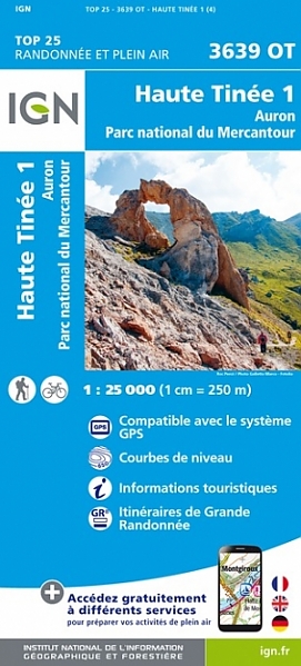
- Haute Tinee 1 - Auron - PN du Mercantour IGN 3639OT
- Topographic survey of France at 1:25,000 in IGN`s excellent TOP25 / Série Bleue series. All the maps are GPS compatible, with a 1km UTM grid plus latitude and longitude lines at 5’ intervals. Contours are at 5m intervals except for mountainous areas where the maps have contours at 10m intervals, vividly enhanced by hill shading and graphics for... Read more

The Book Depository
United Kingdom
United Kingdom
- Vallee de l'Esteron / Vallee du Loup 2018
- De wandelkaart die de perfectie benadert! Werkelijk alle topografische details zijn er op te vinden; van hoogtelijnen tot aan bruggetjes en allerlei wandelpaden. Daarnaast hebben de makers een flinke dosis toeristische informatie op de kaart verwerkt: campings, gites d étape; restaurants en ingetekende doorgaande wandelpaden, de grandes... Read more
- Also available from:
- De Zwerver, Netherlands
- Stanfords, United Kingdom
De Zwerver
Netherlands
Netherlands
- Wandelkaart - Topografische kaart 3642ET Vallée de l'Esteron | IGN - Institut Géographique National
- De wandelkaart die de perfectie benadert! Werkelijk alle topografische details zijn er op te vinden; van hoogtelijnen tot aan bruggetjes en allerlei wandelpaden. Daarnaast hebben de makers een flinke dosis toeristische informatie op de kaart verwerkt: campings, gites d étape; restaurants en ingetekende doorgaande wandelpaden, de grandes... Read more

Stanfords
United Kingdom
United Kingdom
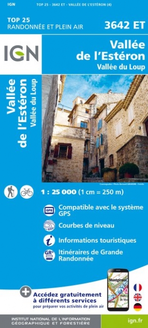
- Vallee de l`Esteron - Vallee du Loup IGN 3642ET
- Topographic survey of France at 1:25,000 in IGN`s excellent TOP25 / Série Bleue series. All the maps are GPS compatible, with a 1km UTM grid plus latitude and longitude lines at 5’ intervals. Contours are at 5m intervals except for mountainous areas where the maps have contours at 10m intervals, vividly enhanced by hill shading and graphics for... Read more

- Also available from:
- De Zwerver, Netherlands
- Stanfords, United Kingdom

De Zwerver
Netherlands
Netherlands

- Also available from:
- De Zwerver, Netherlands
- Stanfords, United Kingdom
De Zwerver
Netherlands
Netherlands

Stanfords
United Kingdom
United Kingdom
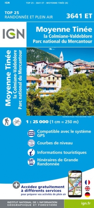
- Moyenne Tinee - la Colmiane-Valdeblore - PN du Mercantour IGN 3641ET
- Topographic survey of France at 1:25,000 in IGN`s excellent TOP25 / Série Bleue series. All the maps are GPS compatible, with a 1km UTM grid plus latitude and longitude lines at 5’ intervals. Contours are at 5m intervals except for mountainous areas where the maps have contours at 10m intervals, vividly enhanced by hill shading and graphics for... Read more

- Also available from:
- De Zwerver, Netherlands


- Also available from:
- De Zwerver, Netherlands


The Book Depository
United Kingdom
United Kingdom
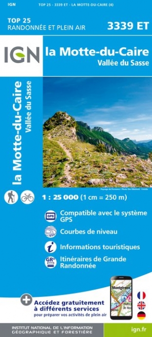
- La Motte-du-Caire / Vallee du Sasse
- Topographic survey of France at 1:25,000 in IGN`s excellent TOP25 / Série Bleue series. All the maps are GPS compatible, with a 1km UTM grid plus latitude and longitude lines at 5’ intervals. Contours are at 5m intervals except for mountainous areas where the maps have contours at 10m intervals, vividly enhanced by hill shading and graphics for... Read more
- Also available from:
- De Zwerver, Netherlands
- Stanfords, United Kingdom
De Zwerver
Netherlands
Netherlands
- Wandelkaart - Topografische kaart 3339ET la Motte-du-Caire | IGN - Institut Géographique National
- Topographic survey of France at 1:25,000 in IGN`s excellent TOP25 / Série Bleue series. All the maps are GPS compatible, with a 1km UTM grid plus latitude and longitude lines at 5’ intervals. Contours are at 5m intervals except for mountainous areas where the maps have contours at 10m intervals, vividly enhanced by hill shading and graphics for... Read more

Stanfords
United Kingdom
United Kingdom
- La Motte-du-Caire - Vallee du Sasse IGN 3339ET
- Topographic survey of France at 1:25,000 in IGN`s excellent TOP25 / Série Bleue series. All the maps are GPS compatible, with a 1km UTM grid plus latitude and longitude lines at 5’ intervals. Contours are at 5m intervals except for mountainous areas where the maps have contours at 10m intervals, vividly enhanced by hill shading and graphics for... Read more

- Also available from:
- De Zwerver, Netherlands
- Stanfords, United Kingdom
De Zwerver
Netherlands
Netherlands


- Also available from:
- De Zwerver, Netherlands
- Stanfords, United Kingdom
De Zwerver
Netherlands
Netherlands

Stanfords
United Kingdom
United Kingdom
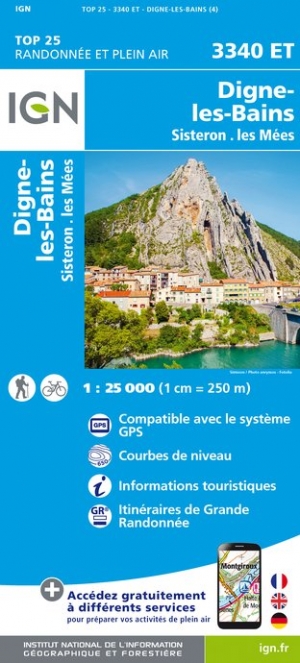
- Digne-les-Bains - Sisteron - Les Mees IGN 3340ET
- Topographic survey of France at 1:25,000 in IGN`s excellent TOP25 / Série Bleue series. All the maps are GPS compatible, with a 1km UTM grid plus latitude and longitude lines at 5’ intervals. Contours are at 5m intervals except for mountainous areas where the maps have contours at 10m intervals, vividly enhanced by hill shading and graphics for... Read more

- Also available from:
- De Zwerver, Netherlands
- Stanfords, United Kingdom
De Zwerver
Netherlands
Netherlands

Stanfords
United Kingdom
United Kingdom
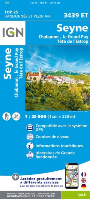
- Seyne - Chabanon - le Grand Puy - Tete de l`Estrop IGN 3439ET
- Topographic survey of France at 1:25,000 in IGN`s excellent TOP25 / Série Bleue series. All the maps are GPS compatible, with a 1km UTM grid plus latitude and longitude lines at 5’ intervals. Contours are at 5m intervals except for mountainous areas where the maps have contours at 10m intervals, vividly enhanced by hill shading and graphics for... Read more