
John Muir Trail
Beschreibung
- Name John Muir Trail (JMT)
- Länge von Wanderweg 340 km, 211 Meilen
- Länge in Tagen 23 Tage
- Traildino Schwierigkeit SW, Anspruchsvolle Wanderung, Bergwanderung
- Schwierigkeitsgrad Berg- und Alpinwanderung T2, Bergwandern
 Yosemite Valley to Mount Whitney, 211 miles, 340 km, 1 month
As one of the better known, spectacular and therefore busy mountain trails, the John Muir Trail runs for 211 miles (340 km) into the Sierra Nevada mountain range of California, from Yosemite Valley to Mount Whitney. This is a true mountain hike. The trail also one of the highlights of the Pacific Crest Trail.
Karte


Links
Fakten
Berichte
Führer und Karten
Übernachtung
Organisationen
Reisebüros
GPS
Sonstiges
Bücher

The Book Depository
United Kingdom
United Kingdom
- Discovering the John Muir Trail
- An Inspirational Guide to America's Most Beautiful Hike Read more


The Book Depository
United Kingdom
United Kingdom
- John Muir Trail
- The Essential Guide to Hiking America's Most Famous Trail Read more
Bol.com
Netherlands
Netherlands
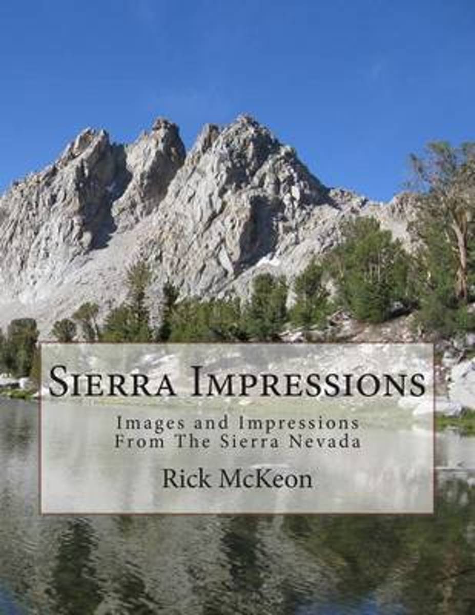
- Sierra Impressions
- The first time I went backpacking in the Sierra Nevada Mountains of California I fell in love! That was back in 1987. Almost every year since then I have been back including a through hike of the John Muir Trail in 2004.Over the past 27 years of hiking in the Sierras I have collected hundreds of beautiful photographs and wonderful memories.... Read more
- Also available from:
- Bol.com, Belgium
Bol.com
Belgium
Belgium
- Sierra Impressions
- The first time I went backpacking in the Sierra Nevada Mountains of California I fell in love! That was back in 1987. Almost every year since then I have been back including a through hike of the John Muir Trail in 2004.Over the past 27 years of hiking in the Sierras I have collected hundreds of beautiful photographs and wonderful memories.... Read more
Bol.com
Netherlands
Netherlands
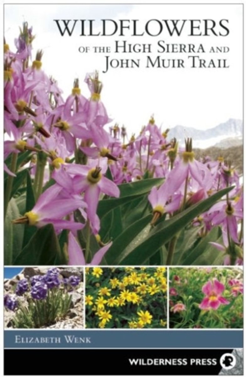
- Wildflowers of the High Sierra and John Muir Trail
- This new book by Sierra expert Elizabeth Wenk includes photos and descriptions of approximately 300 species of wildflowers and flowering shrubs in the High Sierra. Focused on areas above 8,000 feet in elevation from Yosemite south through the Whitney Region, by restricting the collection of species to higher elevations, the book can include all... Read more
- Also available from:
- Bol.com, Belgium
Bol.com
Belgium
Belgium
- Wildflowers of the High Sierra and John Muir Trail
- This new book by Sierra expert Elizabeth Wenk includes photos and descriptions of approximately 300 species of wildflowers and flowering shrubs in the High Sierra. Focused on areas above 8,000 feet in elevation from Yosemite south through the Whitney Region, by restricting the collection of species to higher elevations, the book can include all... Read more

Stanfords
United Kingdom
United Kingdom
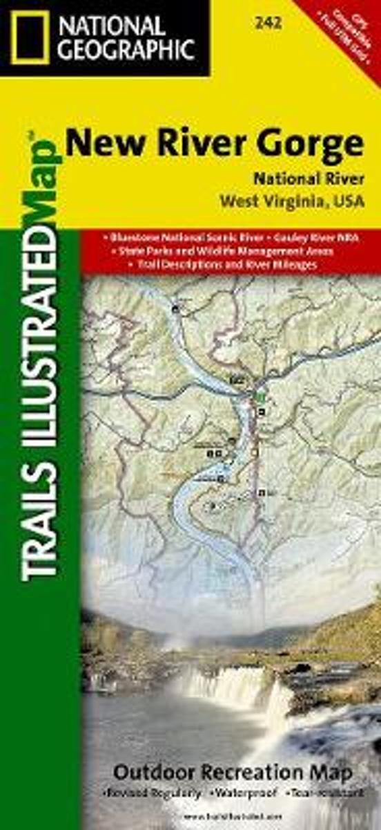
- New River Gorge National River WV
- Map No. 242, New River Gorge National River, WV, in an extensive series of GPS compatible, contoured hiking maps of USA’s national and state parks or forests and other popular recreational areas. Cartography based on the national topographic survey, with additional tourist information.The maps, with most titles now printed on light, waterproof... Read more
- Also available from:
- Bol.com, Netherlands
- Bol.com, Belgium
Bol.com
Netherlands
Netherlands
- New River Gorge National River
- Waterproof Tear-Resistant Topographic MapThis Trails Illustrated topographic map for Big South Fork National River and Recreation Area in southern Kentucky and northern Tennessee is the perfect map for hiking, biking, exploring, climbing, camping, and sightseeing in this stunning area.The map includes Daniel Boone National Forest, Big... Read more
Bol.com
Belgium
Belgium
- New River Gorge National River
- Waterproof Tear-Resistant Topographic MapThis Trails Illustrated topographic map for Big South Fork National River and Recreation Area in southern Kentucky and northern Tennessee is the perfect map for hiking, biking, exploring, climbing, camping, and sightseeing in this stunning area.The map includes Daniel Boone National Forest, Big... Read more

Bol.com
Netherlands
Netherlands
- Lost and Found
- When she found herself craving a new challenge, Michelle “Brownie” Pugh set her eyes on the John Muir Trail—a hiking trail traversing 211 miles from Yosemite Valley to Mount Whitney in California. Heralded by Backpacker Magazine as the best long-distance trail in the country, the John Muir Trail boasts scenic and demanding... Read more
- Also available from:
- Bol.com, Belgium
Bol.com
Belgium
Belgium
- Lost and Found
- When she found herself craving a new challenge, Michelle “Brownie” Pugh set her eyes on the John Muir Trail—a hiking trail traversing 211 miles from Yosemite Valley to Mount Whitney in California. Heralded by Backpacker Magazine as the best long-distance trail in the country, the John Muir Trail boasts scenic and demanding... Read more
Bol.com
Netherlands
Netherlands
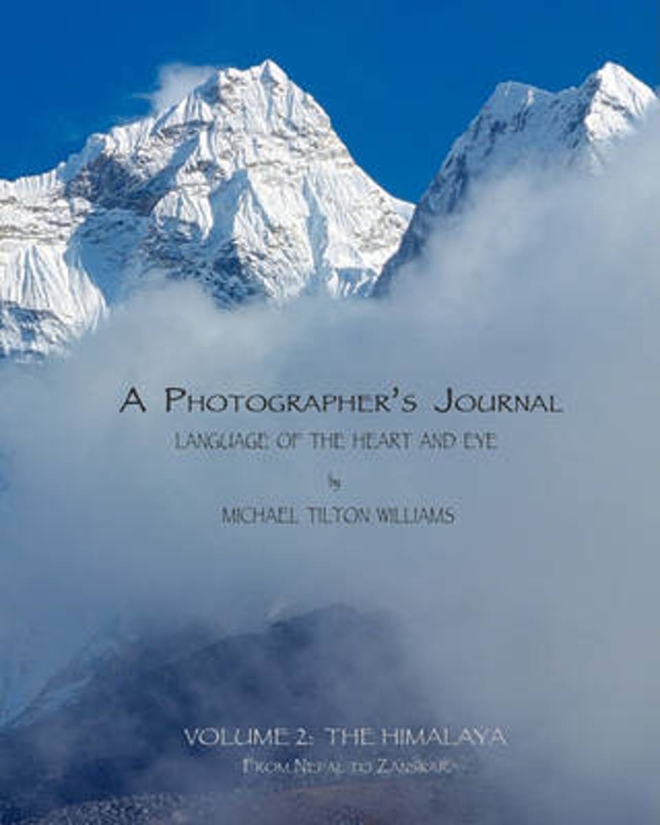
- A Photographer's Journal
- This book is powered by sweat and joy; steep hills and exhilarating telemark skiing descents into silent stands of snowy trees. The land and its smells and tastes are embedded in the memory of those lucky enough to have immersed themselves in it. My goal is to transport you: to the soft meadows, the smooth, hard granite, and the dancing trees... Read more
- Also available from:
- Bol.com, Belgium
Bol.com
Belgium
Belgium
- A Photographer's Journal
- This book is powered by sweat and joy; steep hills and exhilarating telemark skiing descents into silent stands of snowy trees. The land and its smells and tastes are embedded in the memory of those lucky enough to have immersed themselves in it. My goal is to transport you: to the soft meadows, the smooth, hard granite, and the dancing trees... Read more

The Book Depository
United Kingdom
United Kingdom
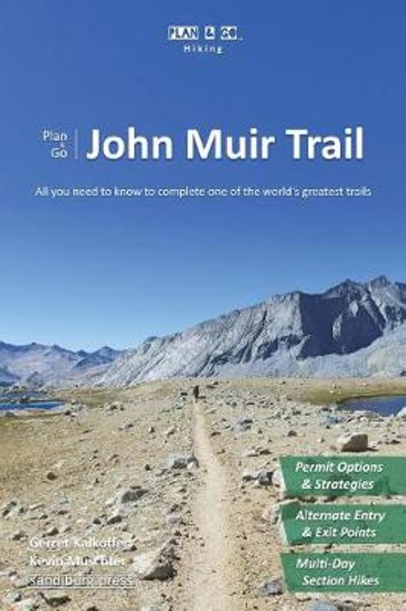
- Plan & Go John Muir Trail
- All You Need to Know to Complete One of the World's Greatest Trails Read more
- Also available from:
- Bol.com, Netherlands
- Bol.com, Belgium
Bol.com
Netherlands
Netherlands
- Plan & Go John Muir Trail
- All You Need to Know to Complete One of the World's Greatest Trails Read more
Bol.com
Belgium
Belgium
- Plan & Go John Muir Trail
- All You Need to Know to Complete One of the World's Greatest Trails Read more
Bol.com
Netherlands
Netherlands
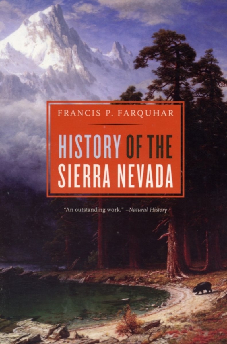
- History of the Sierra Nevada, Revised and Updated
- From the time it was sighted by Spanish explorers in the eighteenth century through the creation of the John Muir trail, the building of the Hetch Hetchy Dam, and the founding of the Sierra Club, the great snowy range of California has provided fulfillment to generations of trappers, immigrants, engineers, naturalists, and tourists. Now a... Read more
- Also available from:
- Bol.com, Belgium
Bol.com
Belgium
Belgium
- History of the Sierra Nevada, Revised and Updated
- From the time it was sighted by Spanish explorers in the eighteenth century through the creation of the John Muir trail, the building of the Hetch Hetchy Dam, and the founding of the Sierra Club, the great snowy range of California has provided fulfillment to generations of trappers, immigrants, engineers, naturalists, and tourists. Now a... Read more

The Book Depository
United Kingdom
2015
United Kingdom
2015
- The John Muir Trail
- Through the Californian Sierra Nevada Read more
- Also available from:
- De Zwerver, Netherlands
- Bol.com, Netherlands
- Bol.com, Belgium
De Zwerver
Netherlands
2018
Netherlands
2018
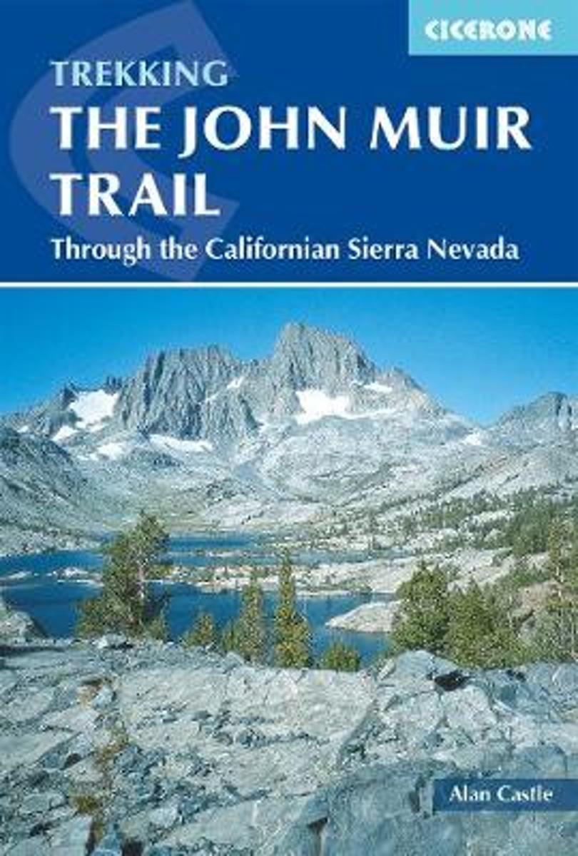
- Wandelgids The John Muir Trail | Cicerone
- Guidebook to walking the John Muir Trail through California's High Sierra from Yosemite (El Capitan and Half Dome) to the summit of Mount Witney. The 216 mile hike is split into 21 daily stages, with full information on preparation, permits, wilderness, bears, water and trekking skills. Part of the Pacific Crest Trail. Read more
Bol.com
Netherlands
2015
Netherlands
2015
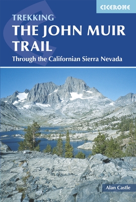
- The John Muir Trail
- The John Muir Trail (JMT) is one of the world's most spectacular treks and is North America's best known mid-distance walking trail. It runs for 216 miles through the high Sierra Nevada mountains of California, from Yosemite Valley to the summit of Mount Whitney (14,496 ft), the highest peak in the USA outside Alaska. The walking trail, which... Read more
Bol.com
Belgium
2015
Belgium
2015
- The John Muir Trail
- The John Muir Trail (JMT) is one of the world's most spectacular treks and is North America's best known mid-distance walking trail. It runs for 216 miles through the high Sierra Nevada mountains of California, from Yosemite Valley to the summit of Mount Whitney (14,496 ft), the highest peak in the USA outside Alaska. The walking trail, which... Read more
Bol.com
Netherlands
Netherlands
- Guide to the John Muir Trail
- Offers advice on planning a hiking or backpacking trip on the John Muir Trail, discussing supplies, permits, animal problems, and packing, with trail profiles and maps Read more
- Also available from:
- Bol.com, Belgium
Bol.com
Belgium
Belgium
- Guide to the John Muir Trail
- Offers advice on planning a hiking or backpacking trip on the John Muir Trail, discussing supplies, permits, animal problems, and packing, with trail profiles and maps Read more

Bol.com
Netherlands
Netherlands
- An Ultralighter's True Trail Stories
- Book two in the Journey series, this volume is filled with stories and ultralight backpacking tips from Carol "Brawny" Wellman. Trail descriptions for the Pacific Crest Trail, Appalachian Trail, John Muir Trail, Continental Divide Trail, Colorado Trail, Vermont Trail, Bartram Trail, including trail guide, plus the Foothills Trail. Learn how to... Read more
- Also available from:
- Bol.com, Belgium
Bol.com
Belgium
Belgium
- An Ultralighter's True Trail Stories
- Book two in the Journey series, this volume is filled with stories and ultralight backpacking tips from Carol "Brawny" Wellman. Trail descriptions for the Pacific Crest Trail, Appalachian Trail, John Muir Trail, Continental Divide Trail, Colorado Trail, Vermont Trail, Bartram Trail, including trail guide, plus the Foothills Trail. Learn how to... Read more

- Also available from:
- Bol.com, Netherlands
- Bol.com, Belgium
Bol.com
Netherlands
Netherlands
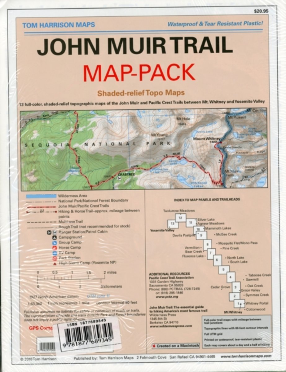
- Map-pack of the John Muir Trail
- Shaded Relief Topo Maps packet of the famous Sierra High Route that will take hikers from Mount Whitney to Yosemite, CA. Well marked trails over USGS topo maps that were beautifully enhanced with shaded relief to better distinguish details. Scale 1:630360. 1 inch on map equals 1 mile. Whitney Portal, Symmes Creek, Onion Valley, Oak Creek,... Read more
Bol.com
Belgium
Belgium
- Map-pack of the John Muir Trail
- Shaded Relief Topo Maps packet of the famous Sierra High Route that will take hikers from Mount Whitney to Yosemite, CA. Well marked trails over USGS topo maps that were beautifully enhanced with shaded relief to better distinguish details. Scale 1:630360. 1 inch on map equals 1 mile. Whitney Portal, Symmes Creek, Onion Valley, Oak Creek,... Read more
Bol.com
Netherlands
Netherlands
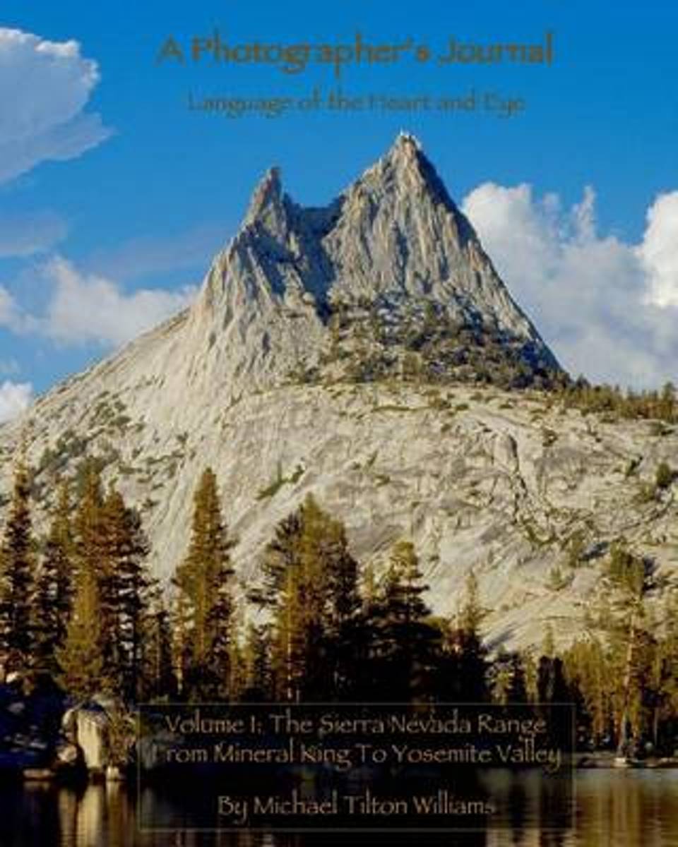
- A Photographer's Journal
- This book is powered by sweat and joy; steep hills and exhilarating telemark skiing descents into silent stands of snowy trees. The land and its smells and tastes are embedded in the memory of those lucky enough to have immersed themselves in it. My goal is to transport you: to the soft meadows, the smooth, hard granite, and the dancing trees... Read more
- Also available from:
- Bol.com, Belgium
Bol.com
Belgium
Belgium
- A Photographer's Journal
- This book is powered by sweat and joy; steep hills and exhilarating telemark skiing descents into silent stands of snowy trees. The land and its smells and tastes are embedded in the memory of those lucky enough to have immersed themselves in it. My goal is to transport you: to the soft meadows, the smooth, hard granite, and the dancing trees... Read more
Karten

The Book Depository
United Kingdom
United Kingdom
- Sequoia/kings Canyon National Park
- Trails Illustrated National Parks Read more
- Also available from:
- De Zwerver, Netherlands
- Stanfords, United Kingdom
- Bol.com, Netherlands
- Bol.com, Belgium

De Zwerver
Netherlands
Netherlands
- Wandelkaart - Topografische kaart 205 Sequoia - Kings Canyon National Parks | National Geographic
- Prachtige geplastificeerde kaart van het nationaal park. Met alle recreatieve voorzieningen als campsites, maar ook met topografische details en wandelroutes ed. Door uitgekiend kleurgebruik zeer prettig in gebruik. Scheur en watervast! Trails Illustrated maps are the most trusted and popular recreation maps available. Continually setting the... Read more

Stanfords
United Kingdom
United Kingdom
- Sequoia - Kings Canyon National Parks CA NGS Trails Illustrated Map 205
- Map No. 205, Sequoia/Kings Canyon National Park, CA, in an extensive series of GPS compatible, contoured hiking maps of USA’s national and state parks or forests and other popular recreational areas. Cartography based on the national topographic survey, with additional tourist information.The maps, with most titles now printed on light,... Read more

Bol.com
Netherlands
Netherlands
- Sequoia/kings Canyon National Park
- Waterproof Tear-Resistant Topographic MapIn Sequioa and Kings Canyon National Parks you can walk among the world's largest trees, hike the alpine landscape of the Sierra Crest, and marvel at the towering granite cliffs of one of the deepest canyons in the United States. National Geographic's Trails Illustrated map of Sequoia and Kings... Read more
Bol.com
Belgium
Belgium
- Sequoia/kings Canyon National Park
- Waterproof Tear-Resistant Topographic MapIn Sequioa and Kings Canyon National Parks you can walk among the world's largest trees, hike the alpine landscape of the Sierra Crest, and marvel at the towering granite cliffs of one of the deepest canyons in the United States. National Geographic's Trails Illustrated map of Sequoia and Kings... Read more

De Zwerver
Netherlands
Netherlands
- Wandelkaart - Topografische kaart 809 Mammoth Lakes - Mono Divide - Inyo and Sierra National Forests | National Geographic
- Prachtige geplastificeerde kaart van het bekende nationaal park. Met alle recreatieve voorzieningen als campsites, maar ook met topografische details en wandelroutes ed. Door uitgekiend kleurgebruik zeer prettig in gebruik. Scheur en watervast! Trails Illustrated Mammoth Lakes / Mono Divide is the first of five exciting new maps for the... Read more
- Also available from:
- Stanfords, United Kingdom
- Bol.com, Netherlands
- Bol.com, Belgium

Stanfords
United Kingdom
United Kingdom
- Mammoth Lakes - Mono Divide CA
- Map No. 809, Mammoth Lakes / Mono Divide, CA, in an extensive series of GPS compatible, contoured hiking maps of USA’s national and state parks or forests and other popular recreational areas. Cartography based on the national topographic survey, with additional tourist information.The maps, with most titles now printed on light, waterproof and... Read more

Bol.com
Netherlands
Netherlands
- Mammoth Lakes/mono Divide
- Waterproof Tear-Resistant Topographic MapTrails Illustrated Mammoth Lakes / Mono Divide is the first of five exciting new maps for the California Sierra Nevadas that will combine to form seamless coverage of the high-use National Forest areas between Sequoia / Kings Canyon National Parks and Lake Tahoe. This region contains some of the... Read more
Bol.com
Belgium
Belgium
- Mammoth Lakes/mono Divide
- Waterproof Tear-Resistant Topographic MapTrails Illustrated Mammoth Lakes / Mono Divide is the first of five exciting new maps for the California Sierra Nevadas that will combine to form seamless coverage of the high-use National Forest areas between Sequoia / Kings Canyon National Parks and Lake Tahoe. This region contains some of the... Read more