
Ticino
Beschreibung
Karte

Wanderwege Region
Links
Fakten
Berichte
Führer und Karten
Übernachtung
Organisationen
Reisebüros
GPS
Sonstiges
Bücher

- Also available from:
- De Zwerver, Netherlands

The Book Depository
United Kingdom
2023
United Kingdom
2023
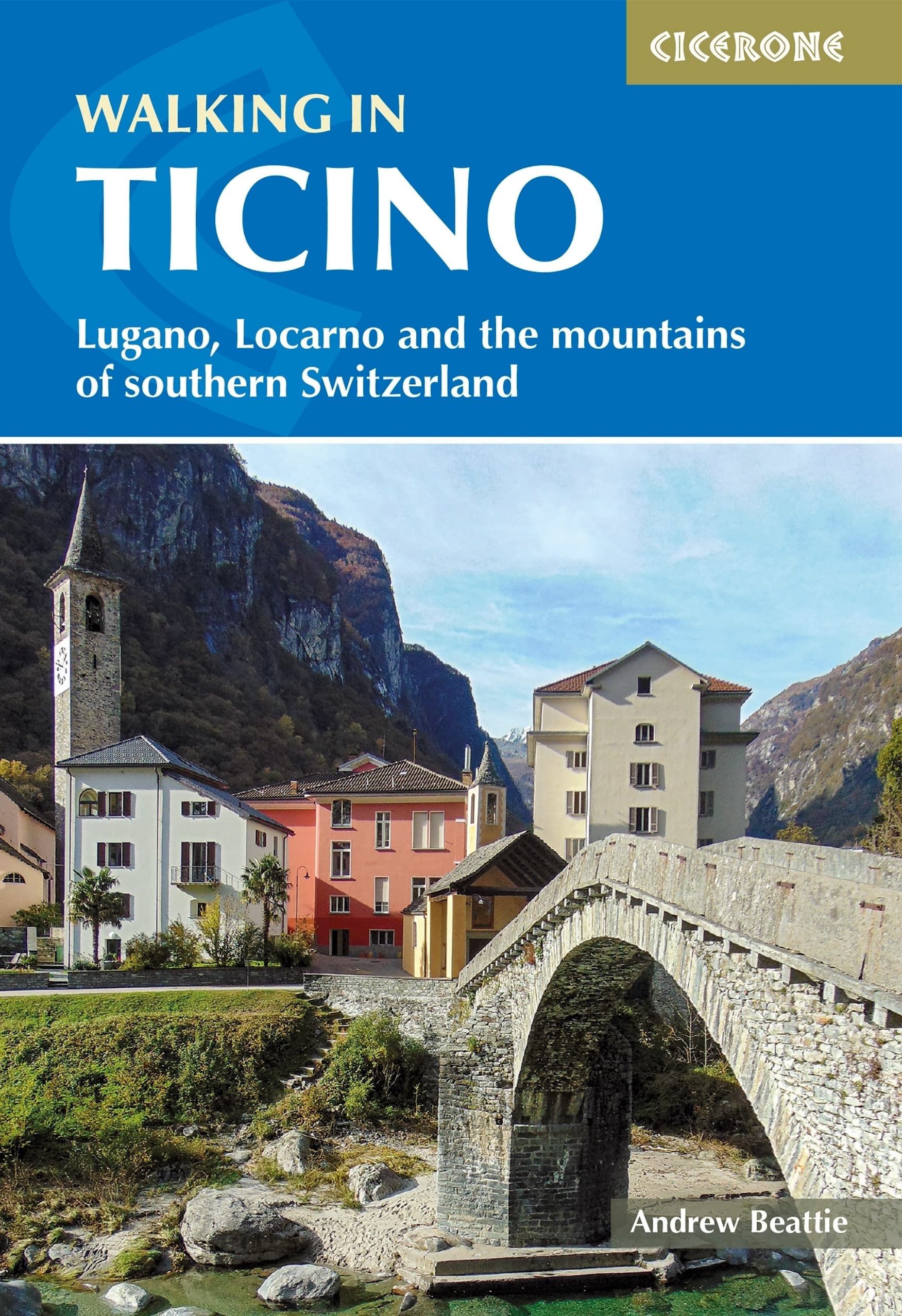
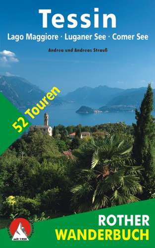
- Walking in Ticino
- Lugano, Locarno and the mountains of southern Switzerland Read more
- Also available from:
- De Zwerver, Netherlands
De Zwerver
Netherlands
2023
Netherlands
2023
- Wandelgids Walking in Ticino | Cicerone
- Lugano, Locarno and the mountains of southern Switzerland Read more


De Zwerver
Netherlands
2009
Netherlands
2009
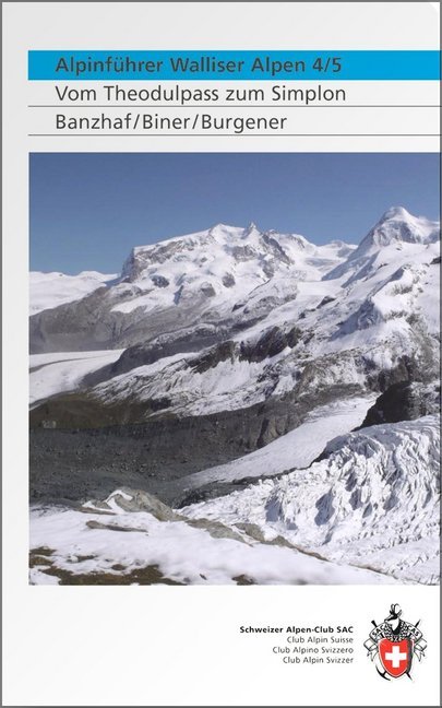
- Klimgids - Klettersteiggids Alpinführer Walliser Alpen 4/5 | SAC Schweizer Alpenclub
- Vom Theodulpass zum Simplon. 1. Auflage. Read more
De Zwerver
Netherlands
2022
Netherlands
2022
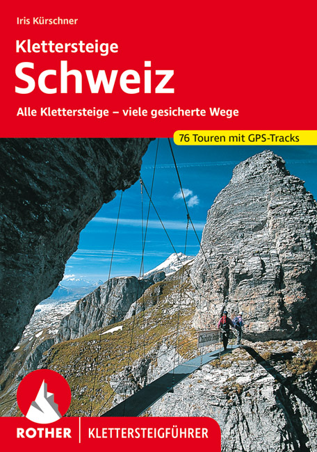
- Klimgids - Klettersteiggids Klettersteige Schweiz | Rother Bergverlag
- Alle 42 Klettersteige sowie die 24 schönsten gesicherten Wege, darunter eine 5-Tages-Tour Rother Wanderführer. 4., erweiterte und aktualisierte Auflage. Read more

De Zwerver
Netherlands
2016
Netherlands
2016
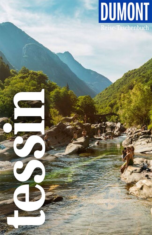
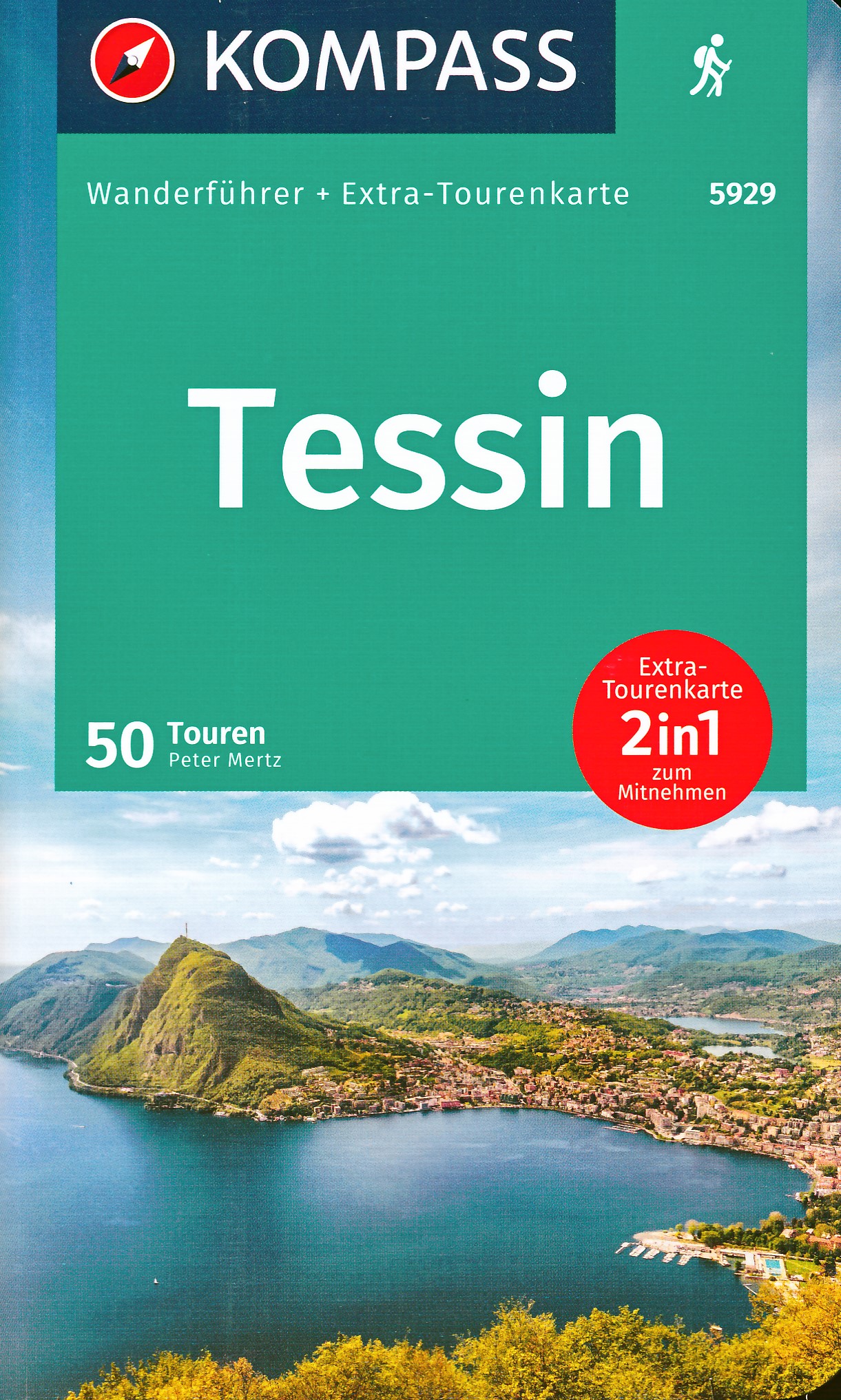
- Wandelgids Tessin | Rother Bergverlag
- De ‘Rother Wanderbücher’ behandelen telkens de 50 mooiste wandelingen, die variëren van eenvoudige kindvriendelijke wandelingen tot routes die aanzienlijk meer ervaring vereisen. Uitvoerige routebeschrijvingen, een aantrekkelijke lay-out met vele kleurenfoto’s, niets aan duidelijkheid te wensen gelaten hoogteprofielen, kaartjes met de... Read more
Karten

The Book Depository
United Kingdom
United Kingdom
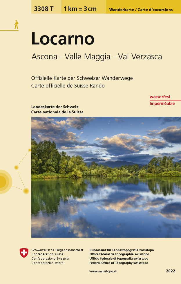
- Locarno
- Een nieuwe serie van de Zwitserse topografische dienst: eindelijk goede wandelkaarten met ingetekende wandelroutes op scheur- en watervast papier. Vooralsnog zijn ze uitgebracht van de populaire wandelgebieden en niet landelijk dekkend (zie overzicht) Op een gedetailleerde schaal van 1:33.333 met als ondergrond de onovertroffen topografische... Read more
- Also available from:
- De Zwerver, Netherlands
- Stanfords, United Kingdom
De Zwerver
Netherlands
Netherlands
- Wandelkaart - Topografische kaart 3308T Locarno | Swisstopo
- Een nieuwe serie van de Zwitserse topografische dienst: eindelijk goede wandelkaarten met ingetekende wandelroutes op scheur- en watervast papier. Vooralsnog zijn ze uitgebracht van de populaire wandelgebieden en niet landelijk dekkend (zie overzicht) Op een gedetailleerde schaal van 1:33.333 met als ondergrond de onovertroffen topografische... Read more

Stanfords
United Kingdom
United Kingdom
- Locarno - Ascona - Valle Maggia - Val Verzasca Swisstopo Hiking 3308T
- Locarno - Ascona - Valle Maggia - Val Verzasca area of Ticino at 1:33,333 on light, waterproof and tear-resistant map No. 3308T published by Swisstopo in cooperation with the Swiss Hiking Federation. Cartography is the same as in Swisstopo’s 50K hiking maps, simply enlarged to 1:33,333 for extra clarity but without additional information.... Read more
De Zwerver
Netherlands
Netherlands
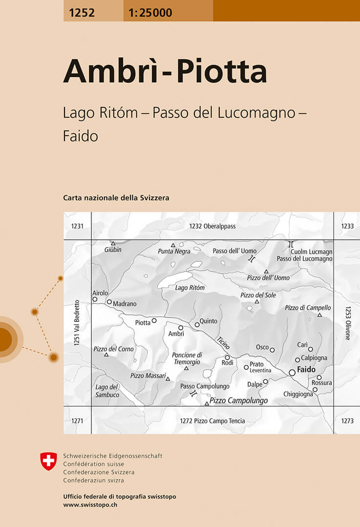
- Wandelkaart - Topografische kaart 1252 Ambrì- Piotta | Swisstopo
- Zeer gedetailleerde wandelkaart van een deel van Zwitserland. De topografische details van deze kaarten zijn onovertroffen; de werkelijkheid is perfect weergegeven op deze kaart van uitzonderlijk hoog niveau. Ze zijn geschikt voor alle soorten gebruik: voor eenvoudige wandeltochten in simpel terrein tot zware bergtochten en beklimmingen van de... Read more
- Also available from:
- Stanfords, United Kingdom

Stanfords
United Kingdom
United Kingdom
- Ambrì-Piotta Swisstopo 1252
- Map No. 1252, Ambrì-Piotta, in the topographic survey of Switzerland at 1:25,000 from Bundesamt für Landestopographie (swisstopo), covering the whole country on 247 small format sheets, with special larger maps published for popular regions including some titles now available in hiking versions.Highly regarded for their superb use of graphic... Read more
De Zwerver
Netherlands
Netherlands
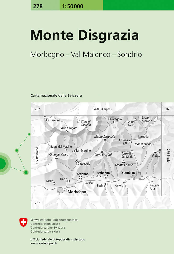
- Wandelkaart - Topografische kaart 278 Monte Disgrazia | Swisstopo
- Monte Disgrazia, map No. 278, in the standard topographic survey of Switzerland at 1:50,000 from Swisstopo, i.e. without the special overprint highlighting walking trails, local bus stops, etc, presented in Swisstopo Read more
- Also available from:
- Stanfords, United Kingdom

Stanfords
United Kingdom
United Kingdom
- Monte Disgrazia Swisstopo 278
- Monte Disgrazia, map No. 278, in the standard topographic survey of Switzerland at 1:50,000 from Swisstopo, i.e. without the special overprint highlighting walking trails, local bus stops, etc, presented in Swisstopo’s hiking editions of the 50K survey. The map covers mainly the Italian side of the border, including Sondrio and Chiesa.Highly... Read more
De Zwerver
Netherlands
Netherlands
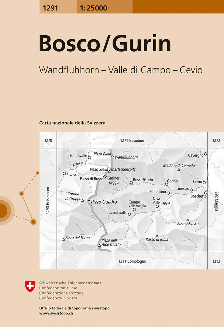
- Wandelkaart - Topografische kaart 1291 Bosco/Gurin | Swisstopo
- Map No. 1291, Bosco/Gurin, in the topographic survey of Switzerland at 1:25,000 from Bundesamt f Read more
- Also available from:
- Stanfords, United Kingdom

Stanfords
United Kingdom
United Kingdom
- Bosco / Gurin Swisstopo 1291
- Map No. 1291, Bosco/Gurin, in the topographic survey of Switzerland at 1:25,000 from Bundesamt für Landestopographie (swisstopo), covering the whole country on 247 small format sheets, with special larger maps published for popular regions including some titles now available in hiking versions.Highly regarded for their superb use of graphic... Read more
De Zwerver
Netherlands
Netherlands
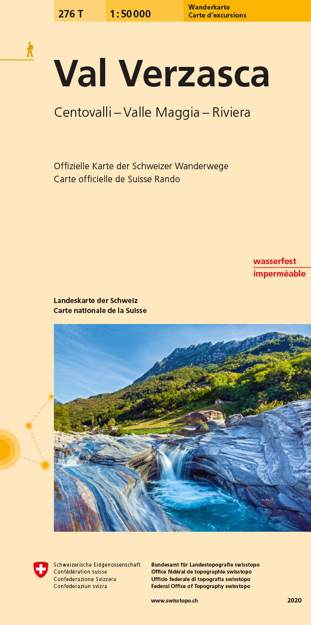
- Wandelkaart 276T Val Verzasca | Swisstopo
- Val Verzasca area, map No. 276T, at 1:50,000 in a special hiking edition of the country Read more
- Also available from:
- Stanfords, United Kingdom

Stanfords
United Kingdom
United Kingdom
- Val Verzasca Swisstopo Hiking 276T
- Val Verzasca area, map No. 276T, at 1:50,000 in a special hiking edition of the country’s topographic survey, published by Swisstopo in cooperation with the Swiss Hiking Federation. Coverage extends from Belinzona in the east and Locarno in the south to include both Val Verzasca and Valle Maggia.Cartography, identical to the standard version of... Read more
De Zwerver
Netherlands
Netherlands
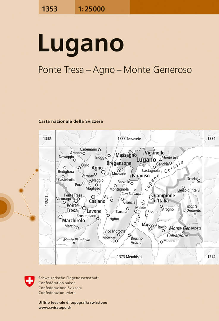
- Wandelkaart - Topografische kaart 1353 Lugano | Swisstopo
- Map No. 1353, Lugano, in the topographic survey of Switzerland at 1:25,000 from Bundesamt f Read more
- Also available from:
- Stanfords, United Kingdom

Stanfords
United Kingdom
United Kingdom
- Lugano Swisstopo 1353
- Map No. 1353, Lugano, in the topographic survey of Switzerland at 1:25,000 from Bundesamt für Landestopographie (swisstopo), covering the whole country on 247 small format sheets, with special larger maps published for popular regions including some titles now available in hiking versions.Highly regarded for their superb use of graphic relief... Read more
De Zwerver
Netherlands
Netherlands
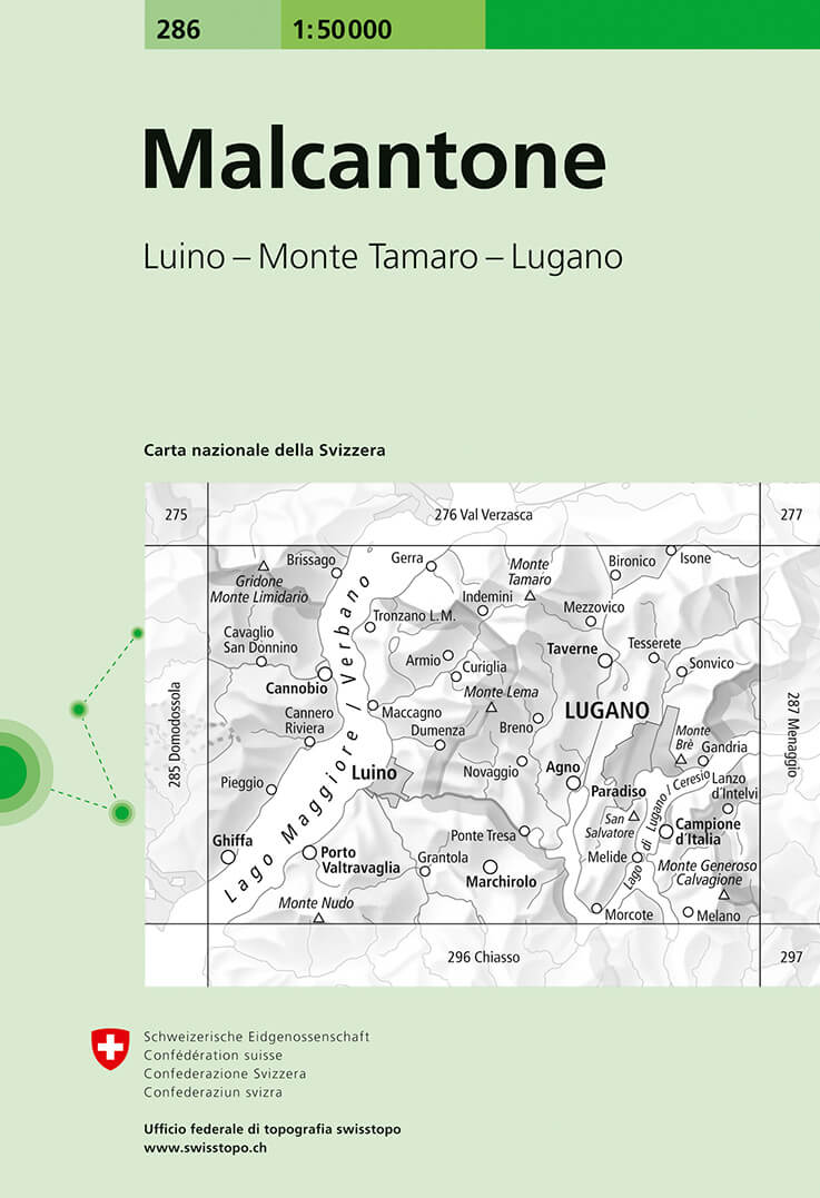
- Wandelkaart - Topografische kaart 286 Malcantone | Swisstopo
- Malcantone, map No. 286, in the standard topographic survey of Switzerland at 1:50,000 from Swisstopo, i.e. without the special overprint highlighting walking trails, local bus stops, etc, presented in Swisstopo Read more
- Also available from:
- Stanfords, United Kingdom
Stanfords
United Kingdom
United Kingdom
- Malcantone Swisstopo 286
- Malcantone, map No. 286, in the standard topographic survey of Switzerland at 1:50,000 from Swisstopo, i.e. without the special overprint highlighting walking trails, local bus stops, etc, presented in Swisstopo’s hiking editions of the 50K survey. Coverage includes Lugano.Highly regarded for their superb use of graphic relief and hill shading,... Read more
De Zwerver
Netherlands
Netherlands
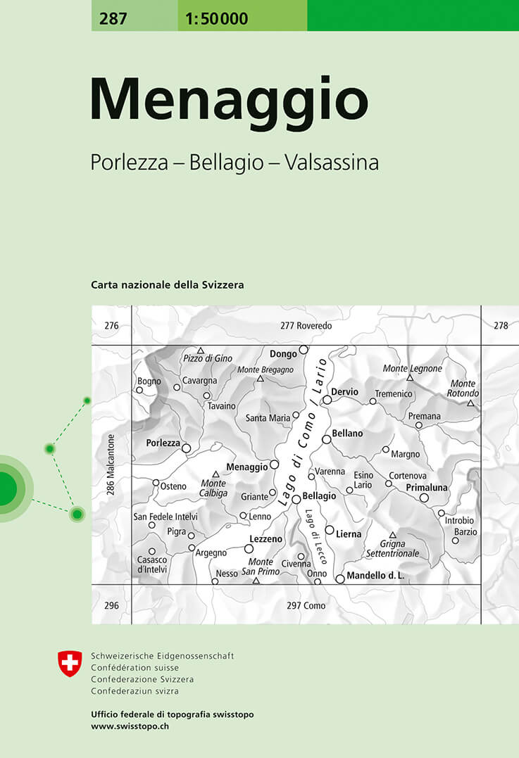
- Wandelkaart - Topografische kaart 287 Menaggio | Swisstopo
- Menaggio, map No. 287, in the standard topographic survey of Switzerland at 1:50,000 from Swisstopo, i.e. without the special overprint highlighting walking trails, local bus stops, etc, presented in Swisstopo Read more
- Also available from:
- Stanfords, United Kingdom
Stanfords
United Kingdom
United Kingdom
- Menaggio Swisstopo 287
- Menaggio, map No. 287, in the standard topographic survey of Switzerland at 1:50,000 from Swisstopo, i.e. without the special overprint highlighting walking trails, local bus stops, etc, presented in Swisstopo’s hiking editions of the 50K survey. The map covers mainly the Italian side of the border, with only a small part of Switzerland shown... Read more
De Zwerver
Netherlands
Netherlands
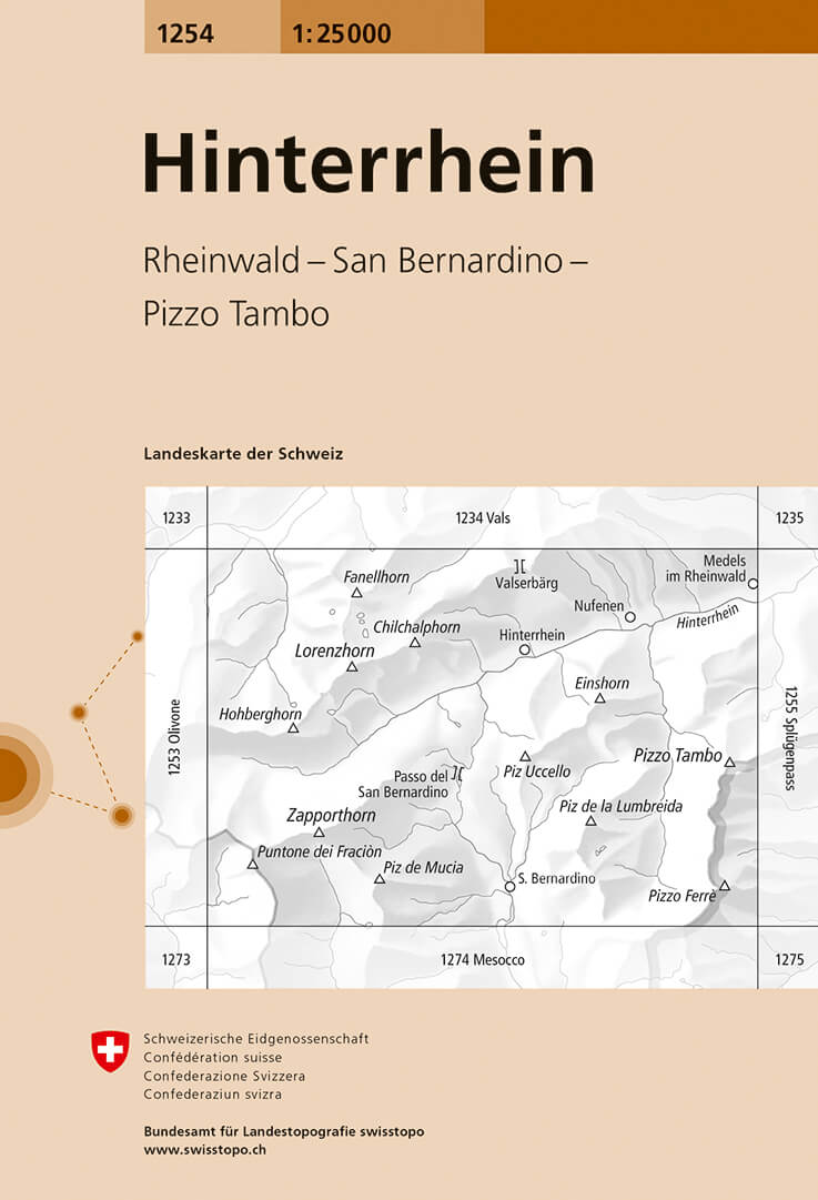
- Wandelkaart - Topografische kaart 1254 Hinterrhein | Swisstopo
- Map No. 1254, Hinterrhein, in the topographic survey of Switzerland at 1:25,000 from Bundesamt f Read more
- Also available from:
- Stanfords, United Kingdom

Stanfords
United Kingdom
United Kingdom
- Hinterrhein Swisstopo 1254
- Map No. 1254, Hinterrhein, in the topographic survey of Switzerland at 1:25,000 from Bundesamt für Landestopographie (swisstopo), covering the whole country on 247 small format sheets, with special larger maps published for popular regions including some titles now available in hiking versions.Highly regarded for their superb use of graphic... Read more
De Zwerver
Netherlands
2023
Netherlands
2023
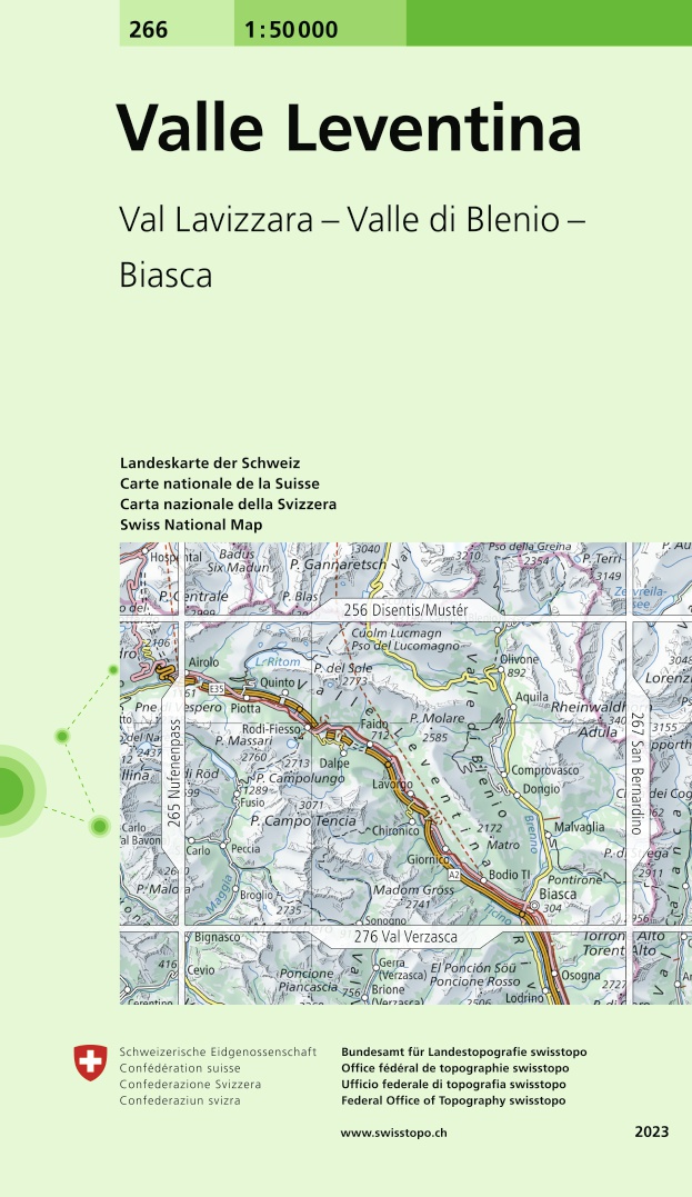
- Wandelkaart - Topografische kaart 266 Valle Leventina | Swisstopo
- Valle Leventina, map No. 266, in the standard topographic survey of Switzerland at 1:50,000 from Swisstopo, i.e. without the special overprint highlighting walking trails, local bus stops, etc, presented in Swisstopo Read more
- Also available from:
- Stanfords, United Kingdom
Stanfords
United Kingdom
2023
United Kingdom
2023
- Valle Leventina Swisstopo 266
- Valle Leventina, map No. 266, in the standard topographic survey of Switzerland at 1:50,000 from Swisstopo, i.e. without the special overprint highlighting walking trails, local bus stops, etc, presented in Swisstopo’s hiking editions of the 50K survey. Highly regarded for their superb use of graphic relief and hill shading, the maps give an... Read more
De Zwerver
Netherlands
Netherlands
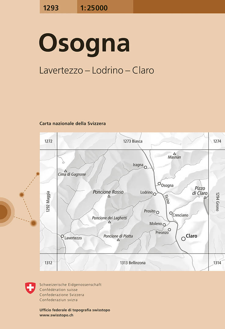
- Wandelkaart - Topografische kaart 1293 Osogna | Swisstopo
- Map No. 1293, Osogna, in the topographic survey of Switzerland at 1:25,000 from Bundesamt f Read more
- Also available from:
- Stanfords, United Kingdom

Stanfords
United Kingdom
United Kingdom
- Osogna Swisstopo 1293
- Map No. 1293, Osogna, in the topographic survey of Switzerland at 1:25,000 from Bundesamt für Landestopographie (swisstopo), covering the whole country on 247 small format sheets, with special larger maps published for popular regions including some titles now available in hiking versions.Highly regarded for their superb use of graphic relief... Read more
De Zwerver
Netherlands
Netherlands
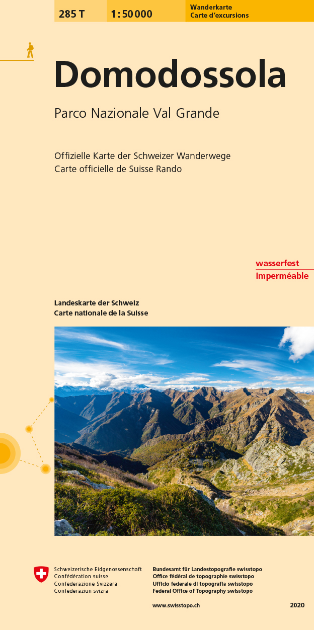
- Wandelkaart 285T Domodossola | Swisstopo
- Domodossola - Val Grande National Park, map No. 285T, at 1:50,000 in a special hiking edition of the country Read more
- Also available from:
- Stanfords, United Kingdom

Stanfords
United Kingdom
United Kingdom
- Domodossola - Val Grande National Park Swisstopo Hiking 285T
- Domodossola - Val Grande National Park, map No. 285T, at 1:50,000 in a special hiking edition of the country’s topographic survey, published by Swisstopo in cooperation with the Swiss Hiking Federation. The map covers the Italian side of the border, extending from Domodossola itself to Verbania on Lake Maggiore, and has the same overprint as on... Read more
De Zwerver
Netherlands
Netherlands
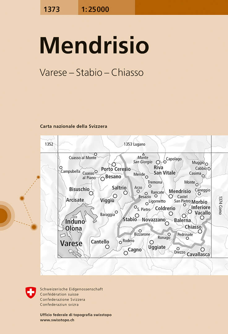
- Wandelkaart - Topografische kaart 1373 Mendrisio | Swisstopo
- Map No. 1373, Mendrisio, in the topographic survey of Switzerland at 1:25,000 from Bundesamt f Read more
- Also available from:
- Stanfords, United Kingdom
Stanfords
United Kingdom
United Kingdom
- Mendrisio Swisstopo 1373
- Map No. 1373, Mendrisio, in the topographic survey of Switzerland at 1:25,000 from Bundesamt für Landestopographie (swisstopo), covering the whole country on 247 small format sheets, with special larger maps published for popular regions including some titles now available in hiking versions.Highly regarded for their superb use of graphic... Read more
De Zwerver
Netherlands
Netherlands
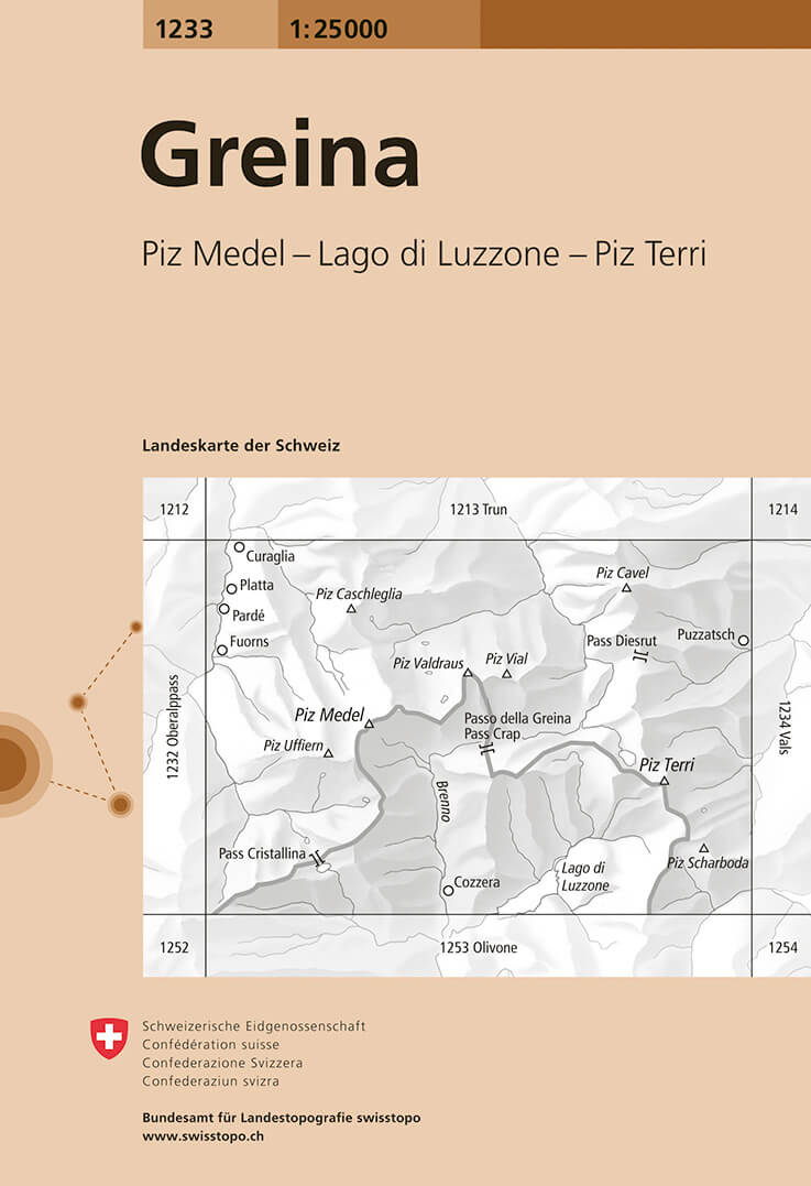
- Wandelkaart - Topografische kaart 1233 Greina | Swisstopo
- Map No. 1233, Greina, in the topographic survey of Switzerland at 1:25,000 from Bundesamt f Read more
- Also available from:
- Stanfords, United Kingdom

Stanfords
United Kingdom
United Kingdom
- Greina Swisstopo 1233
- Map No. 1233, Greina, in the topographic survey of Switzerland at 1:25,000 from Bundesamt für Landestopographie (swisstopo), covering the whole country on 247 small format sheets, with special larger maps published for popular regions including some titles now available in hiking versions.Highly regarded for their superb use of graphic relief... Read more
De Zwerver
Netherlands
Netherlands
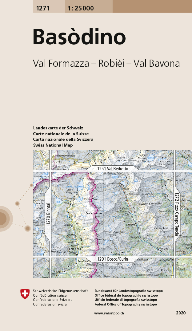
- Wandelkaart - Topografische kaart 1271 Basòdino | Swisstopo
- Zeer gedetailleerde wandelkaart van een deel van Zwitserland. De topografische details van deze kaarten zijn onovertroffen; de werkelijkheid is perfect weergegeven op deze kaart van uitzonderlijk hoog niveau. Ze zijn geschikt voor alle soorten gebruik: voor eenvoudige wandeltochten in simpel terrein tot zware bergtochten en beklimmingen van de... Read more
- Also available from:
- Stanfords, United Kingdom

Stanfords
United Kingdom
United Kingdom
- Basòdino Swisstopo 1271
- Map No. 1271, Basòdino, in the topographic survey of Switzerland at 1:25,000 from Bundesamt für Landestopographie (swisstopo), covering the whole country on 247 small format sheets, with special larger maps published for popular regions including some titles now available in hiking versions.Highly regarded for their superb use of graphic relief... Read more