E12
Beschreibung
- Name E12 (E12)
- Traildino Schwierigkeit EW, Leichte Wanderung, Naturwanderweg

E12
E12: the Meditteranean Trail
The E12 is the latest addition to the European long distance trail network.
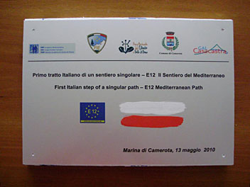
Work is in progress. You can get a taste of it in Italy, Marina di Camerota, South of Napoli. The trail will connect the Mediterranean coast and islands, such as Majorca, Corsica, Crete, Cyprus, Malta and Sardinia.
Select some tracks
☐(no name), 0.4km
☐(no name)
☐(no name), 3.1km
☐(no name), 1.5km
☐(no name), 0.4km
☐(no name), 0.3km
☐(no name)
☐(no name)
☐(no name)
☐(no name), 0.5km
☐(no name)
☐(no name), 0.5km
☐(no name), 9.8km
☐E12 France, Col des Belitres - Argelès, 0.4km
☐Sendero GR 92 E-12 Senda del Mediterraneo, 5.4km
☐(no name), 13km
☐(no name), 1.3km
☐(no name)
☐(no name), 0.5km
☐(no name), 0.6km
☐Sentiero Italia - Tappa E12, 14km
☐GR 11 Senda Pirenaica - E12, 16km
☐GR 121 E12 Epaipide ibilbidea: Amezketa - Berastegi, 27km
☐(no name)
☐(no name)
☐Alpe Adria Trail E12, 20km
Links
Fakten
Berichte
Führer und Karten
Übernachtung
Organisationen
Reisebüros
GPS
Sonstiges
Karten

Stanfords
United Kingdom
United Kingdom
- Eschenbach in der Oberpfalz E12
- Eschenbach i.d.OPf. in a series of GPS compatible recreational editions of the Bavarian topographic survey at 1:25,000, with waymarked hiking trails and cycling routes, campsites and youth hostels, etc. Coverage includes Creußen, Kirchenthumbach, Speichersdorf, Kemnath, Neustadt am Kulm, Grafenwöhr.Contours used in this map vary between 5 to... Read more


