
Westmeath
Beschreibung

Agriculture is the basis of county Westmeath, located in the Midlands. There are some popular lakes. The Westmeath Way and the Royal Canal Way cross the county.
Wanderwege Landesteil
Links
Fakten
Berichte
Führer und Karten
Übernachtung
Organisationen
Reisebüros
GPS
Sonstiges
Bücher

The Book Depository
United Kingdom
United Kingdom
- Ireland's County High Points
- Whether you are a leisurely rambler or a serious hill walker, there's a good chance you've visited or plan to visit at least one of Ireland's County High Points. While this special set of Irish hills and mountains continues to attract more visitors each year, they've never had a walking guidebook exclusively devoted to them. Ireland's County... Read more

- Also available from:
- Stanfords, United Kingdom

Stanfords
United Kingdom
United Kingdom
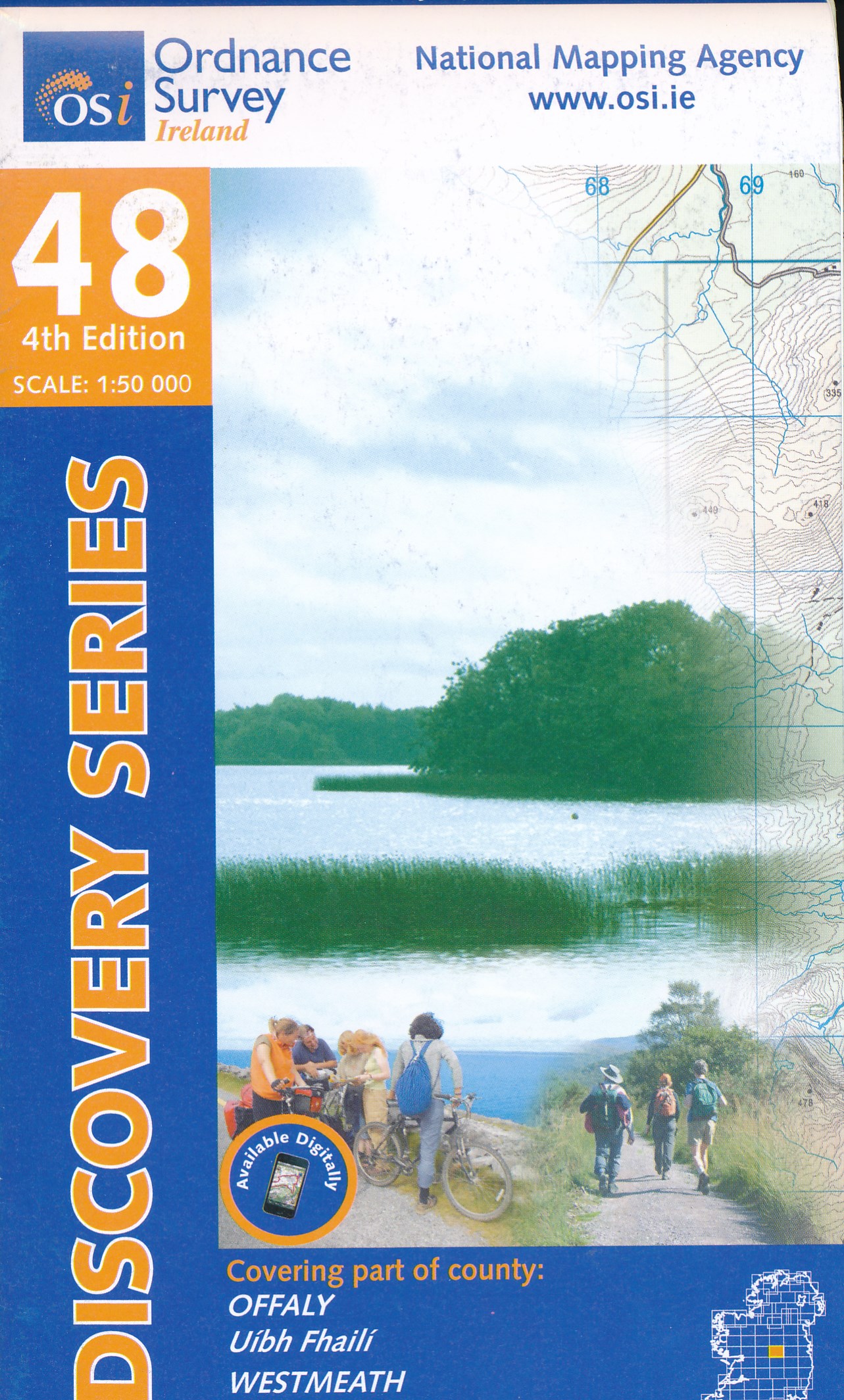
- Offaly - Westmeath OSI Discovery 48
- Map No. 48, Offaly North - Westmeath South in the Discovery series from the OSI, the Ordnance Survey of Ireland, which presents the country on detailed topographic maps at 1:50,000, with additional overprint highlighting campsites and caravan parks, youth hostels, etc. Current 3rd edition of this map was published in February 2011.Maps in the... Read more

- Also available from:
- De Zwerver, Netherlands
De Zwerver
Netherlands
Netherlands
Bol.com
Netherlands
Netherlands
- Ireland - Its Scenery, Character And History - Vol VI
- IRELAND, ITS HISTORY, SCENERY AND CHARACTER - CONTENTS - PAGE LONGFORD . . . . . . . . . . . 1 LEITRIM . . . . . . . . . . . . 2 0 SLIGO . . . . . . . . . . . . 4 1 ROSCOMM . ON . . . . . . . . . . 6 5 MAYO . . . . . . . . . . . . 11 0 CLARE . . . . . . . . . . . . l7 8 GALWAY . . . . . . . . . . . . 2 19 LIST OF ILLUSTRATIONS Achill See page... Read more
- Also available from:
- Bol.com, Belgium
Bol.com
Belgium
Belgium
- Ireland - Its Scenery, Character And History - Vol VI
- IRELAND, ITS HISTORY, SCENERY AND CHARACTER - CONTENTS - PAGE LONGFORD . . . . . . . . . . . 1 LEITRIM . . . . . . . . . . . . 2 0 SLIGO . . . . . . . . . . . . 4 1 ROSCOMM . ON . . . . . . . . . . 6 5 MAYO . . . . . . . . . . . . 11 0 CLARE . . . . . . . . . . . . l7 8 GALWAY . . . . . . . . . . . . 2 19 LIST OF ILLUSTRATIONS Achill See page... Read more
Karten
De Zwerver
Netherlands
Netherlands
- Topografische kaart - Wandelkaart 42 Discovery Meath, Westmeath | Ordnance Survey Ireland
- Zeer gedetailleerde topografische kaart met een aantal toegevoegde toeristische symbolen voor bijv. Bezienswaardigheden en campings. Met hoogtelijnen, mooi kleurgebruik en ingetekende lange-afstands-wandelroutes. Read more
- Also available from:
- Stanfords, United Kingdom

Stanfords
United Kingdom
United Kingdom
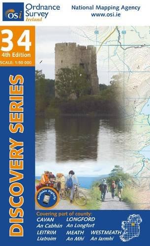
- Meath - Westmeath OSI Discovery 42
- Map No. 42, Meath West - Westmeath East in the Discovery series from the OSI, the Ordnance Survey of Ireland, which presents the country on detailed topographic maps at 1:50,000, with additional overprint highlighting campsites and caravan parks, youth hostels, etc. Current 4th edition of this title was published in February 2011.Maps in the... Read more
De Zwerver
Netherlands
Netherlands
- Topografische kaart - Wandelkaart 47 Discovery Galway, Offaly, Roscommon, Westmeath | Ordnance Survey Ireland
- Zeer gedetailleerde topografische kaart met een aantal toegevoegde toeristische symbolen voor bijv. bezienswaardigheden, campings en jeugdherbergen. Met hoogtelijnen, mooi kleurgebruik en ingetekende lange-afstands-wandelroutes. Op deze kaart zijn de nationale parken en de 'national reserves ' uitstekend te vinden. De kaart is dus zowel voor de... Read more

Stanfords
United Kingdom
United Kingdom
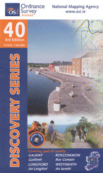
- Galway - Longford - Roscommon - Westmeath OSI Discovery 40
- Map No. 40, Roscommon Central - Longford West in the Discovery series from the OSI, the Ordnance Survey of Ireland, which presents the country on detailed topographic maps at 1:50,000, with additional overprint highlighting campsites and caravan parks, youth hostels, etc. Current 3rd edition of this title was published in March 2011.Maps in the... Read more

Stanfords
United Kingdom
United Kingdom
- Longford - Meath - Westmeath OSI Discovery 41
- Map No. 41, Longford South-West - Westmeath North in the Discovery series from the OSI, the Ordnance Survey of Ireland, which presents the country on detailed topographic maps at 1:50,000, with additional overprint highlighting campsites and caravan parks, youth hostels, etc. Current 3rd edition of this title was published in February 2011.Maps... Read more

Stanfords
United Kingdom
United Kingdom
- Kildare - Meath - Offaly - Westmeath OSI Discovery 49
- Map No. 49, Kildare North - Meath south-East - Offaly East in the Discovery series from the OSI, the Ordnance Survey of Ireland, which presents the country on detailed topographic maps at 1:50,000, with additional overprint highlighting campsites and caravan parks, youth hostels, etc. Current 4th edition of this map was published in January... Read more