
Roscommon
Beschreibung

County Roscommon, in the west of Ireland, has some interesting river valleys rich of birdlife. There are a couple of long distance trails exploring these valleys.
Wanderwege Landesteil
Links
Fakten
Berichte
Führer und Karten
Übernachtung
Organisationen
Reisebüros
GPS
Sonstiges
Bücher

- Also available from:
- De Zwerver, Netherlands
- Stanfords, United Kingdom
De Zwerver
Netherlands
Netherlands

Stanfords
United Kingdom
United Kingdom
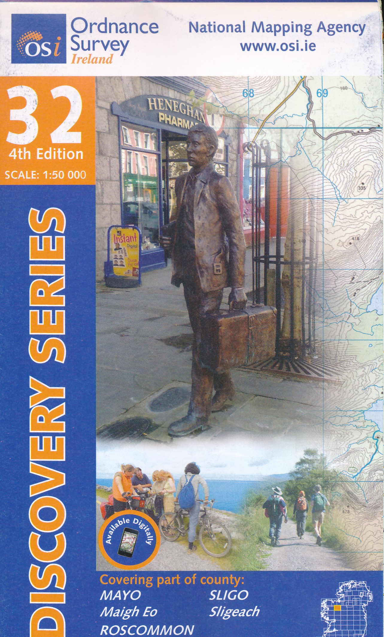
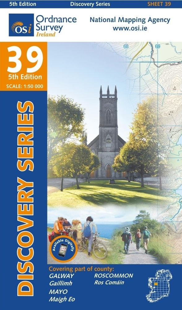
- Mayo - Roscommon - Sligo OSI Discovery 32
- Map No. 32, Mayo North-East - Sligo South - Roscommon North-West, in the Discovery series from the OSI, the Ordnance Survey of Ireland, which presents the country on detailed topographic maps at 1:50,000, with additional overprint highlighting campsites and caravan parks, youth hostels, etc. Current 3rd edition of this title was published in... Read more
Bol.com
Netherlands
Netherlands
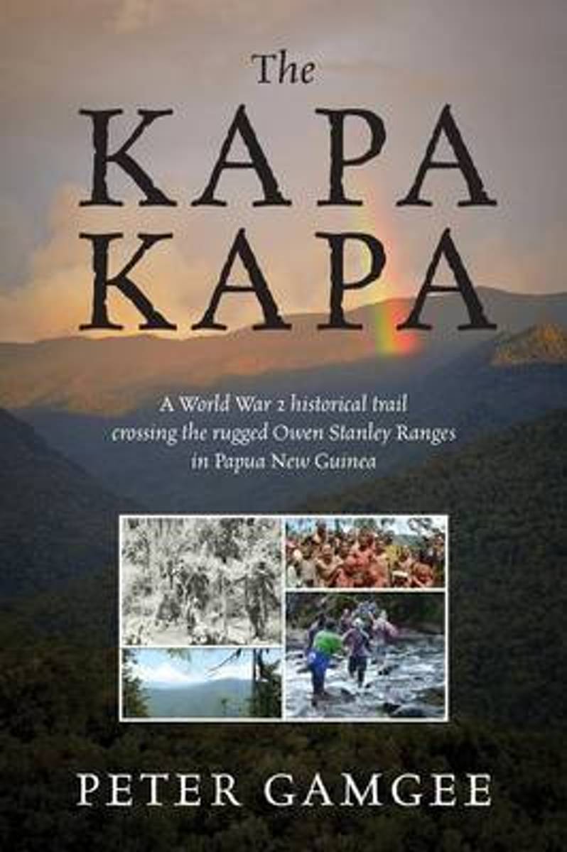
- The Kapa Kapa
- The Kapa Kapa - A tough walk in paradise. Kapa Kapa Trail - means nothing to most people, even experienced walkers. Google it and you will not be much wiser. Hence the allure for the hardy trekkers. In 1942 under General MacArthur's orders an ill equipped 2nd Battalion of the US 126th Infantry Division of the 32nd "Red Arrows" battled their way... Read more
- Also available from:
- Bol.com, Belgium
Bol.com
Belgium
Belgium
- The Kapa Kapa
- The Kapa Kapa - A tough walk in paradise. Kapa Kapa Trail - means nothing to most people, even experienced walkers. Google it and you will not be much wiser. Hence the allure for the hardy trekkers. In 1942 under General MacArthur's orders an ill equipped 2nd Battalion of the US 126th Infantry Division of the 32nd "Red Arrows" battled their way... Read more
Bol.com
Netherlands
Netherlands
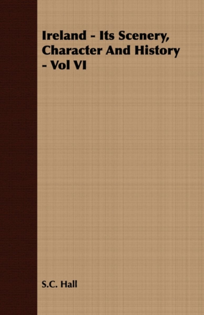
- Ireland - Its Scenery, Character And History - Vol VI
- IRELAND, ITS HISTORY, SCENERY AND CHARACTER - CONTENTS - PAGE LONGFORD . . . . . . . . . . . 1 LEITRIM . . . . . . . . . . . . 2 0 SLIGO . . . . . . . . . . . . 4 1 ROSCOMM . ON . . . . . . . . . . 6 5 MAYO . . . . . . . . . . . . 11 0 CLARE . . . . . . . . . . . . l7 8 GALWAY . . . . . . . . . . . . 2 19 LIST OF ILLUSTRATIONS Achill See page... Read more
- Also available from:
- Bol.com, Belgium
Bol.com
Belgium
Belgium
- Ireland - Its Scenery, Character And History - Vol VI
- IRELAND, ITS HISTORY, SCENERY AND CHARACTER - CONTENTS - PAGE LONGFORD . . . . . . . . . . . 1 LEITRIM . . . . . . . . . . . . 2 0 SLIGO . . . . . . . . . . . . 4 1 ROSCOMM . ON . . . . . . . . . . 6 5 MAYO . . . . . . . . . . . . 11 0 CLARE . . . . . . . . . . . . l7 8 GALWAY . . . . . . . . . . . . 2 19 LIST OF ILLUSTRATIONS Achill See page... Read more
Karten
De Zwerver
Netherlands
Netherlands
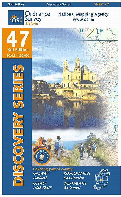
- Topografische kaart - Wandelkaart 47 Discovery Galway, Offaly, Roscommon, Westmeath | Ordnance Survey Ireland
- Zeer gedetailleerde topografische kaart met een aantal toegevoegde toeristische symbolen voor bijv. bezienswaardigheden, campings en jeugdherbergen. Met hoogtelijnen, mooi kleurgebruik en ingetekende lange-afstands-wandelroutes. Op deze kaart zijn de nationale parken en de 'national reserves ' uitstekend te vinden. De kaart is dus zowel voor de... Read more
De Zwerver
Netherlands
Netherlands
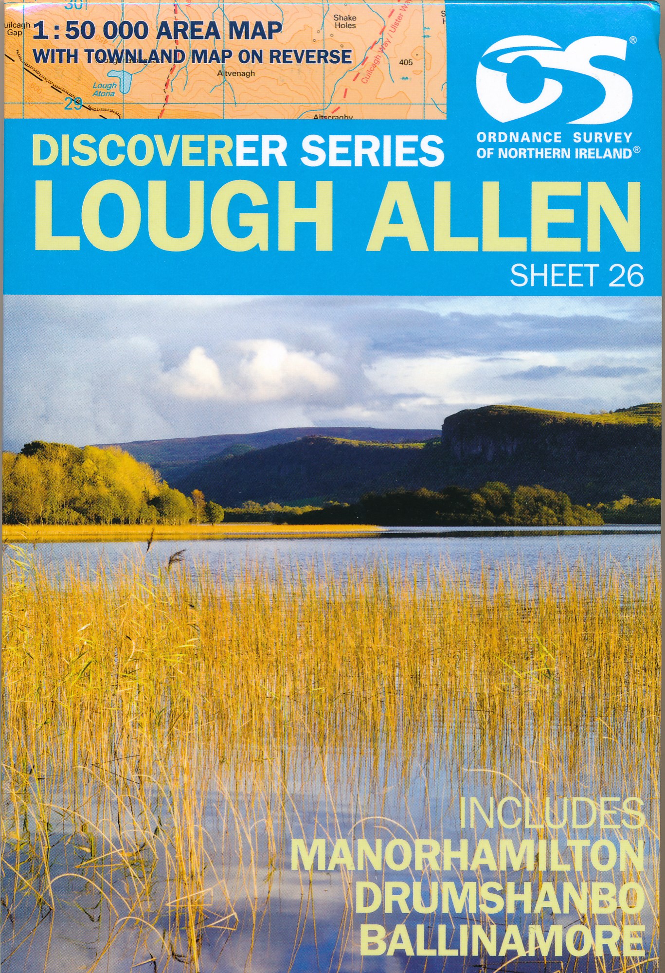
- Wandelkaart 26 Discoverer Lough Allen | Ordnance Survey Northern Ireland
- Zeer gedetailleerde topografische kaart met een aantal toegevoegde toeristische symbolen voor bijv. bezienswaardigheden, campings en jeugdherbergen. Met hoogtelijnen, mooi kleurgebruik en ingetekende lange-afstands-wandelroutes. Op deze kaart zijn de nationale parken en de 'national reserves ' uitstekend te vinden. De kaart is dus zowel voor de... Read more
De Zwerver
Netherlands
Netherlands
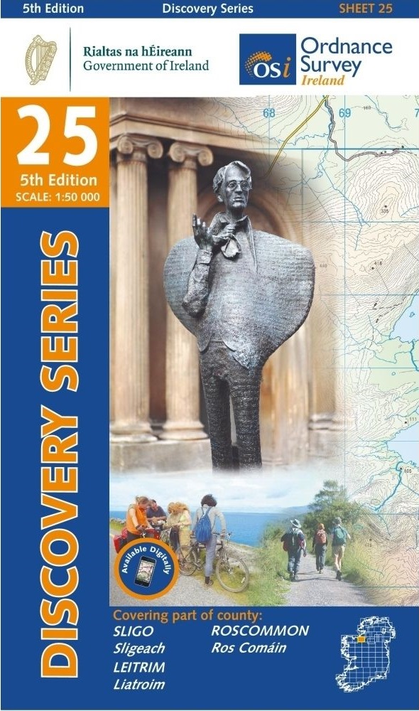
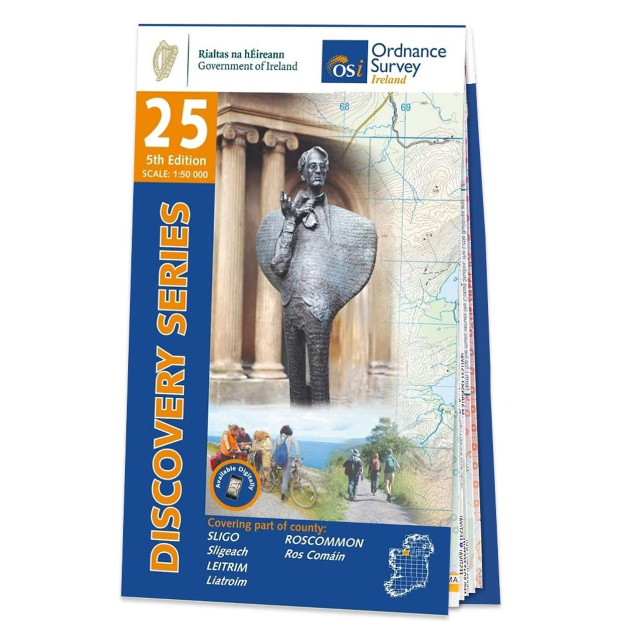
- Topografische kaart - Wandelkaart 25 Discovery Sligo, Leitrim, Roscommon | Ordnance Survey Ireland
- Map No. 25, Sligo Central in the Discovery series from the OSI, the Ordnance Survey of Ireland, which presents the country on detailed topographic maps at 1:50,000, with additional overprint highlighting campsites and caravan parks, youth hostels, etc. Current 4th edition of this title was published in September 2012.Maps in the Discovery... Read more
- Also available from:
- Stanfords, United Kingdom

Stanfords
United Kingdom
United Kingdom
- Sligo - Leitrim - Roscommon OSI Discovery 25
- Map No. 25, Sligo Central in the Discovery series from the OSI, the Ordnance Survey of Ireland, which presents the country on detailed topographic maps at 1:50,000, with additional overprint highlighting campsites and caravan parks, youth hostels, etc. Current 4th edition of this title was published in September 2012.Maps in the Discovery... Read more

Stanfords
United Kingdom
United Kingdom
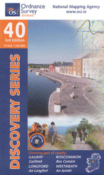
- Galway - Longford - Roscommon - Westmeath OSI Discovery 40
- Map No. 40, Roscommon Central - Longford West in the Discovery series from the OSI, the Ordnance Survey of Ireland, which presents the country on detailed topographic maps at 1:50,000, with additional overprint highlighting campsites and caravan parks, youth hostels, etc. Current 3rd edition of this title was published in March 2011.Maps in the... Read more
Stanfords
United Kingdom
United Kingdom
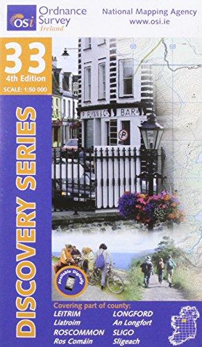
- Leitrim - Longford - Roscommon - Sligo OSI Discovery 33
- Map No. 33, Roscommon North - Leitrim South-West in the Discovery series from the OSI, the Ordnance Survey of Ireland, which presents the country on detailed topographic maps at 1:50,000, with additional overprint highlighting campsites and caravan parks, youth hostels, etc. Current 4th edition of this title was published in January 2013.Maps... Read more

Stanfords
United Kingdom
United Kingdom
- Costa Vicentina 2-Map Set F&B WKP4
- The ”Costa Vicentina” hiking map set shows the most famous Portuguese long-distance hiking trail on a scale of 1:50,000. The entire region around the picturesque Rota Vicentina is shown in great detail on 4 sheets. Hikers will find all the important information they need to walk the Fisherman`s Trail and the Historical Trail in full or in... Read more
Ordnance Survey
United Kingdom
United Kingdom
- Ordnance Survey Ireland Map of Counties Sligo, Roscommon and Leitrim: OSI Discovery 25
- OSI Discovery Sheet No. 25 covers part of Counties Sligo, Roscommon and Leitrim at a 1:50 000 scale, and is designed for all sorts of leisure activities including walking, cycling and tourism. Features shown on the Discovery series include walking trails, cycle routes, forest parks and nature reserves. There is also tourist information such as... Read more