
Offaly
Beschreibung

A rural county in the Midlands Region. On the border region with Laois rise the isolated Slieve Bloom mountains.
Wanderwege Landesteil
Links
Fakten
Berichte
Führer und Karten
Übernachtung
Organisationen
Reisebüros
GPS
Sonstiges
Bücher

- Also available from:
- Stanfords, United Kingdom

Stanfords
United Kingdom
United Kingdom
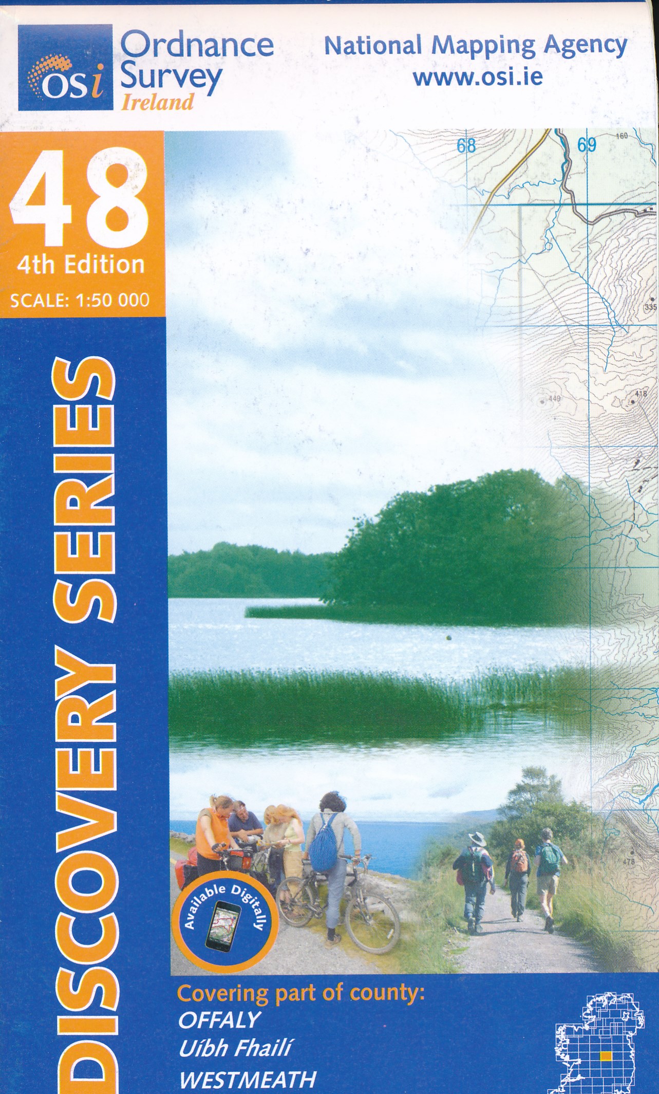
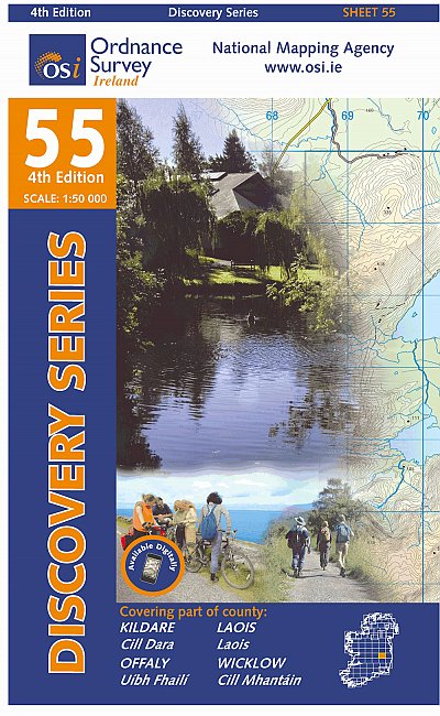
- Offaly - Westmeath OSI Discovery 48
- Map No. 48, Offaly North - Westmeath South in the Discovery series from the OSI, the Ordnance Survey of Ireland, which presents the country on detailed topographic maps at 1:50,000, with additional overprint highlighting campsites and caravan parks, youth hostels, etc. Current 3rd edition of this map was published in February 2011.Maps in the... Read more

- Also available from:
- De Zwerver, Netherlands
De Zwerver
Netherlands
Netherlands

- Also available from:
- De Zwerver, Netherlands
Karten

The Book Depository
United Kingdom
United Kingdom
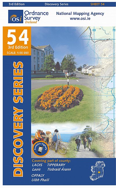
- Laois, Offlay, Tipperary
- Map No. 54, Laois North West in the Discovery series from the OSI, the Ordnance Survey of Ireland, which presents the country on detailed topographic maps at 1:50,000, with additional overprint highlighting campsites and caravan parks, youth hostels, etc. Current 3rd edition of this map was published in October 2011.Maps in the Discovery series... Read more
- Also available from:
- Stanfords, United Kingdom

Stanfords
United Kingdom
United Kingdom
- Laois - Offaly - Tipperary OSI Discovery 54
- Map No. 54, Laois North West in the Discovery series from the OSI, the Ordnance Survey of Ireland, which presents the country on detailed topographic maps at 1:50,000, with additional overprint highlighting campsites and caravan parks, youth hostels, etc. Current 3rd edition of this map was published in October 2011.Maps in the Discovery series... Read more
De Zwerver
Netherlands
Netherlands
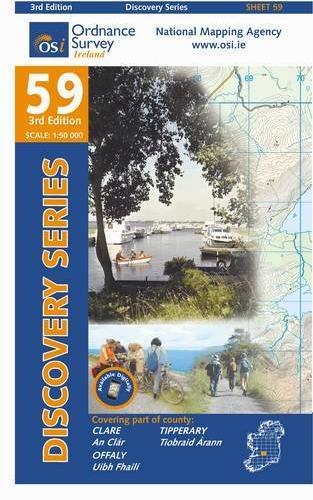
- Topografische kaart - Wandelkaart 53 Discovery Clare, Galway, Offaly, Tipperary | Ordnance Survey Ireland
- Map No. 53, Galway South-East - Offaly West - Tipperary North in the Discovery series from the OSI, the Ordnance Survey of Ireland, which presents the country on detailed topographic maps at 1:50,000, with additional overprint highlighting campsites and caravan parks, youth hostels, etc. Current 3rd edition of this map was published in October... Read more
De Zwerver
Netherlands
Netherlands
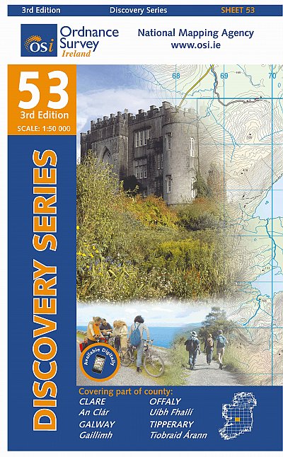
- Topografische kaart - Wandelkaart 47 Discovery Galway, Offaly, Roscommon, Westmeath | Ordnance Survey Ireland
- Zeer gedetailleerde topografische kaart met een aantal toegevoegde toeristische symbolen voor bijv. bezienswaardigheden, campings en jeugdherbergen. Met hoogtelijnen, mooi kleurgebruik en ingetekende lange-afstands-wandelroutes. Op deze kaart zijn de nationale parken en de 'national reserves ' uitstekend te vinden. De kaart is dus zowel voor de... Read more

Stanfords
United Kingdom
United Kingdom
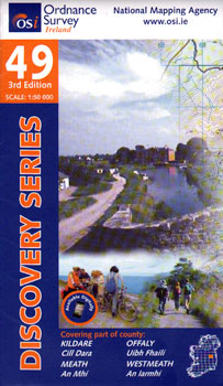
- Kildare - Meath - Offaly - Westmeath OSI Discovery 49
- Map No. 49, Kildare North - Meath south-East - Offaly East in the Discovery series from the OSI, the Ordnance Survey of Ireland, which presents the country on detailed topographic maps at 1:50,000, with additional overprint highlighting campsites and caravan parks, youth hostels, etc. Current 4th edition of this map was published in January... Read more