
Kerry
Beschreibung

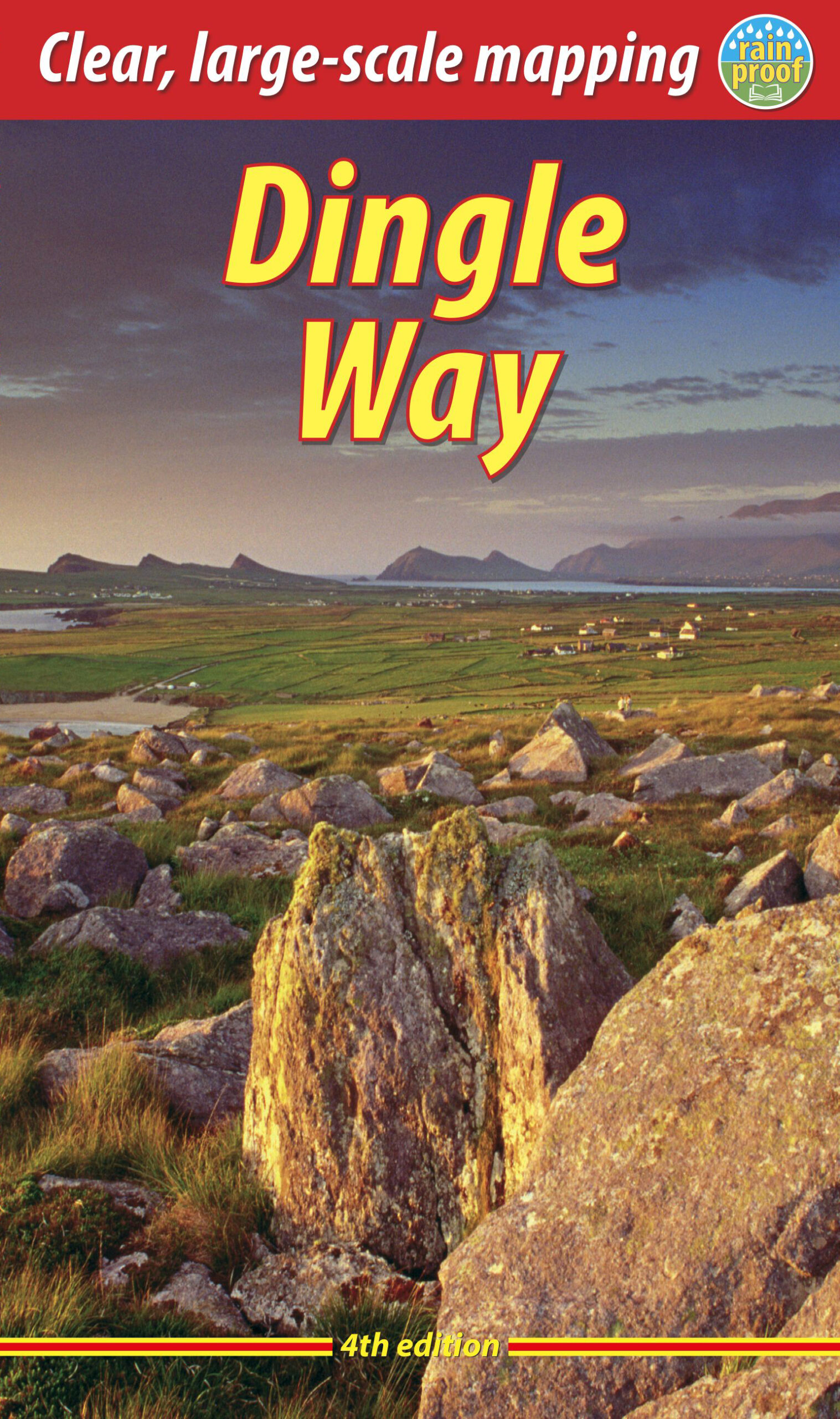
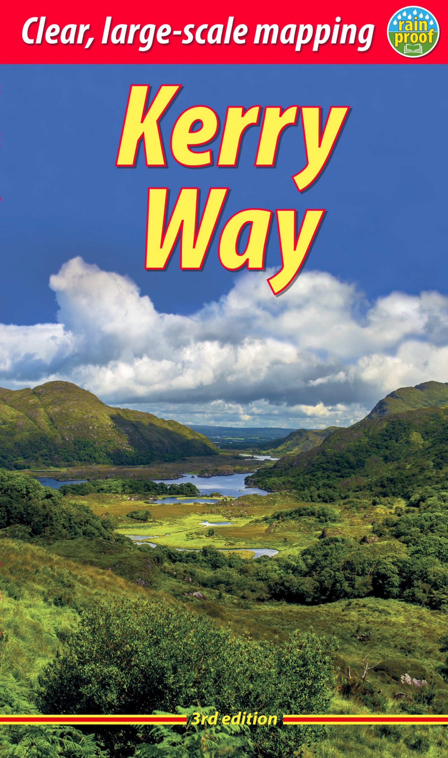
The southeast of Ireland offers mountains, lakes, a rugged coastline, and is therefore the most popular tourist destination. It’s popular name is Kerry, but the beauty is shared by both county Kerry and country Cork. The region is like a hand with fingers spread, penetrating deep into the Atlantic: Dingle peninsula, Kerry peninsula, Beara Peninsula, Sheeps Head … Apart from a handful very good long distance trails - among them the Kerry Way and the Dingle Way - there are plenty good hillwalking and coast walking opportunities.
Wanderwege Region
Links
Fakten
Berichte
Führer und Karten
Übernachtung
Organisationen
Reisebüros
GPS
Sonstiges
Bücher

- Also available from:
- De Zwerver, Netherlands

The Book Depository
United Kingdom
United Kingdom
- Ireland's County High Points
- Whether you are a leisurely rambler or a serious hill walker, there's a good chance you've visited or plan to visit at least one of Ireland's County High Points. While this special set of Irish hills and mountains continues to attract more visitors each year, they've never had a walking guidebook exclusively devoted to them. Ireland's County... Read more

- Also available from:
- De Zwerver, Netherlands

The Book Depository
United Kingdom
2015
United Kingdom
2015
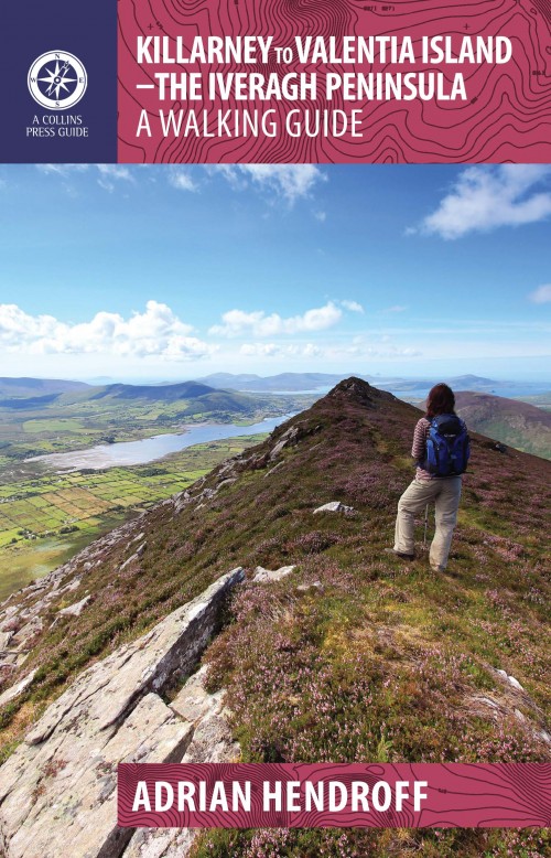
- Killarney to Valentia Island
- The Iveragh Peninsula, the largest in southwest Ireland, stretches from Killarney to Bolus Head and attracts thousands of visitors annually. The Ring of Kerry coastal road winds along its fringes and sandstone peaks soar high above. It is a landscape of raw and stunning beauty from the lakes that fill the corries to the spectacular cliff... Read more
- Also available from:
- De Zwerver, Netherlands
De Zwerver
Netherlands
2015
Netherlands
2015
- Wandelgids Killarney to Valentia Island - The Iveragh Peninsula | The Collins Press
- The Iveragh Peninsula, the largest in southwest Ireland, stretches from Killarney to Bolus Head and attracts thousands of visitors annually. The Ring of Kerry coastal road winds along its fringes and sandstone peaks soar high above. It is a landscape of raw and stunning beauty from the lakes that fill the corries to the spectacular cliff... Read more

The Book Depository
United Kingdom
United Kingdom
- Moon Ireland (Third Edition)
- Castles, Cliffs, and Lively Local Spots Read more

- Also available from:
- De Zwerver, Netherlands

De Zwerver
Netherlands
2020
Netherlands
2020

Stanfords
United Kingdom
United Kingdom
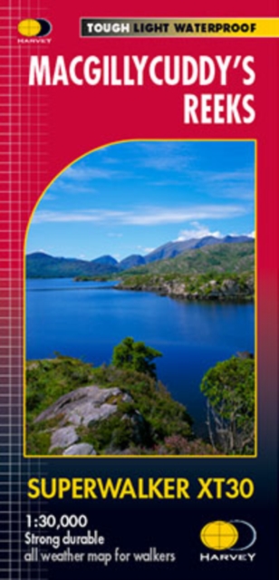
- MacGillycuddy`s Reeks Harvey Superwalker XT30
- Includes the whole of the Killarney National Park.Detailed map for hillwalkers of MacGillycuddy`s Reeks at 1:30,000 scale.Summit enlargement of Carrauntoohil at 1:15,000.Shows tracks, paths and cliffs in detail. As used by Mountain Rescue Ireland.PLEASE NOTE: this title is also available as a pocket-size Ultramap with its scale reduced to... Read more
Bol.com
Netherlands
2016
Netherlands
2016
- Lonely Planet Munich, Bavaria & the Black Forest
- Lonely Planet: The world's leading travel guide publisherLonely Planet Munich, Bavaria & the Black Forest is your passport to the most relevant, up-to-date advice on what to see and skip, and what hidden discoveries await you. Join in the festivities at Munich's Oktoberfest, step into the Schloss Neuschwanstein fairytale castle, or hike among... Read more
- Also available from:
- Bol.com, Belgium
Bol.com
Belgium
2016
Belgium
2016
- Lonely Planet Munich, Bavaria & the Black Forest
- Lonely Planet: The world's leading travel guide publisherLonely Planet Munich, Bavaria & the Black Forest is your passport to the most relevant, up-to-date advice on what to see and skip, and what hidden discoveries await you. Join in the festivities at Munich's Oktoberfest, step into the Schloss Neuschwanstein fairytale castle, or hike among... Read more

- Also available from:
- Bol.com, Netherlands
- Bol.com, Belgium
Bol.com
Netherlands
Netherlands
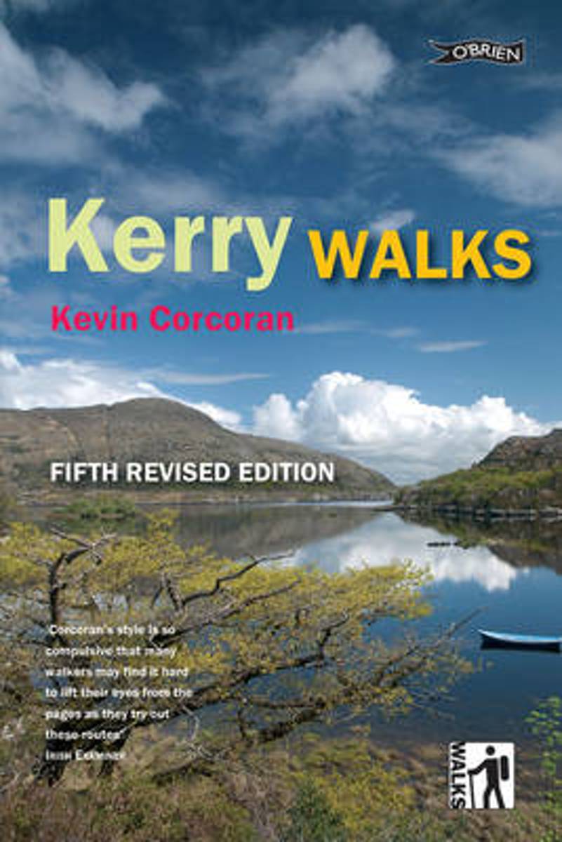
- Kerry Walks
- The perfect walking guide to the wilderness and beauty of Kerry. Discover the landscape and wildlife of Ireland's most beautiful county with walking enthusiast and expert naturalist Kevin Corcoran. These twenty walks explore heathland and bog, Ireland's highest mountains, coastal peninsulas, beaches, islands, forests, rivers, lakes. 20 walks,... Read more
Bol.com
Belgium
Belgium
- Kerry Walks
- The perfect walking guide to the wilderness and beauty of Kerry. Discover the landscape and wildlife of Ireland's most beautiful county with walking enthusiast and expert naturalist Kevin Corcoran. These twenty walks explore heathland and bog, Ireland's highest mountains, coastal peninsulas, beaches, islands, forests, rivers, lakes. 20 walks,... Read more

The Book Depository
United Kingdom
2002
United Kingdom
2002
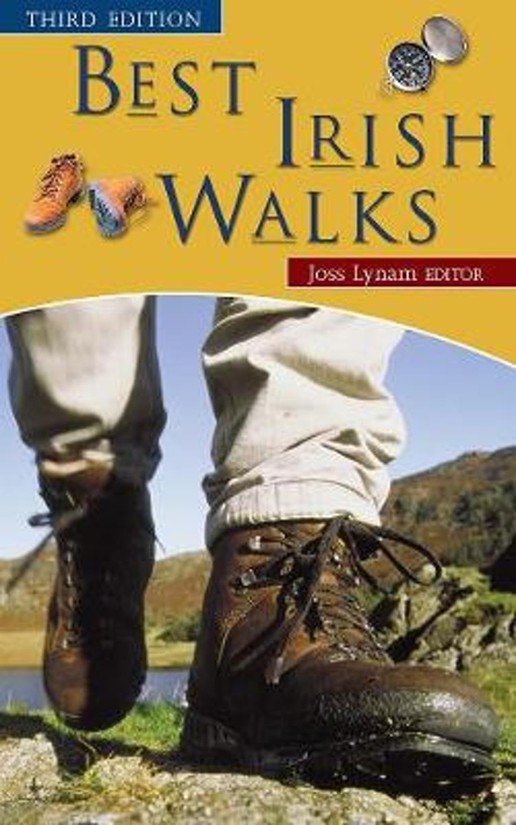
- Best Irish Walks
- Maar liefst 75 dagwandelingen door heel Ierland verspreid. Goede beschrijvingen met schetsmatige kaarten. Een handig boek als je door Ierland trekt en een idee voor een wandeling altijd bij de hand wilt hebben. ´Best Irish Walks´ has been for many years the leading single-volume guide to hill walking in Ireland. It describes over 75 different... Read more
- Also available from:
- Bol.com, Netherlands
- Bol.com, Belgium
Bol.com
Netherlands
2002
Netherlands
2002
- Best Irish Walks
- Best Irish Walks' has been for many years the leading single-volume guide to hill walking in Ireland. It describes over 75 different routes ranging from formidable climbs in the Kerry mountains to delightful treks along the river valleys. This new edition of 'Best Irish Walks' has been thoroughly revised and updated, with new computer-generated... Read more
Bol.com
Belgium
2002
Belgium
2002
- Best Irish Walks
- Best Irish Walks' has been for many years the leading single-volume guide to hill walking in Ireland. It describes over 75 different routes ranging from formidable climbs in the Kerry mountains to delightful treks along the river valleys. This new edition of 'Best Irish Walks' has been thoroughly revised and updated, with new computer-generated... Read more
Bol.com
Netherlands
2015
Netherlands
2015
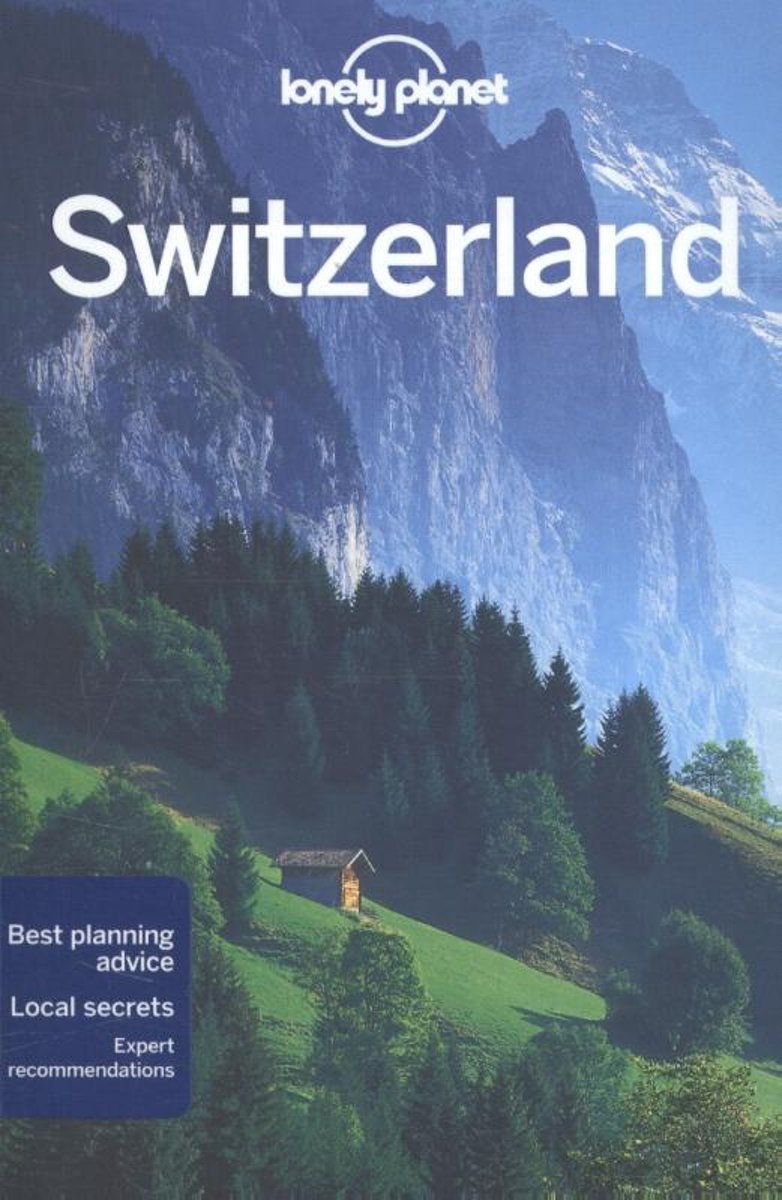
- Lonely Planet Switzerland
- Lonely Planet: The world's leading travel guide publisher Lonely Planet Switzerland is your passport to the most relevant, up-to-date advice on what to see and skip, and what hidden discoveries await you. Ski through fresh powder in the Swiss Alps, listen to cowbells while enjoying a picnic in a mountain meadow, or feast on fondue in Gruyeres;... Read more
- Also available from:
- Bol.com, Belgium
Bol.com
Belgium
2015
Belgium
2015
- Lonely Planet Switzerland
- Lonely Planet: The world's leading travel guide publisher Lonely Planet Switzerland is your passport to the most relevant, up-to-date advice on what to see and skip, and what hidden discoveries await you. Ski through fresh powder in the Swiss Alps, listen to cowbells while enjoying a picnic in a mountain meadow, or feast on fondue in Gruyeres;... Read more
Karten
De Zwerver
Netherlands
Netherlands
De Zwerver
Netherlands
2024
Netherlands
2024

De Zwerver
Netherlands
Netherlands
- Wandelkaart Strandzha - Bulgarije | Domino
- Strandzha Mountains in the south-eastern corner of Bulgaria between Burgas to the Turkish border on a contoured and GPS compatible map from Domino showing local hiking trails and highlighting various interesting sites, with three more detailed enlargements at 1:25,000. Most place names are in both Latin and Cyrillic alphabet; map legend... Read more
- Also available from:
- Stanfords, United Kingdom

Stanfords
United Kingdom
United Kingdom
- Strandzha Mountains: Burgas to the Turkish Border Domino Map
- Strandzha Mountains in the south-eastern corner of Bulgaria between Burgas to the Turkish border on a contoured and GPS compatible map from Domino showing local hiking trails and highlighting various interesting sites, with three more detailed enlargements at 1:25,000. Most place names are in both Latin and Cyrillic alphabet; map legend... Read more
De Zwerver
Netherlands
Netherlands
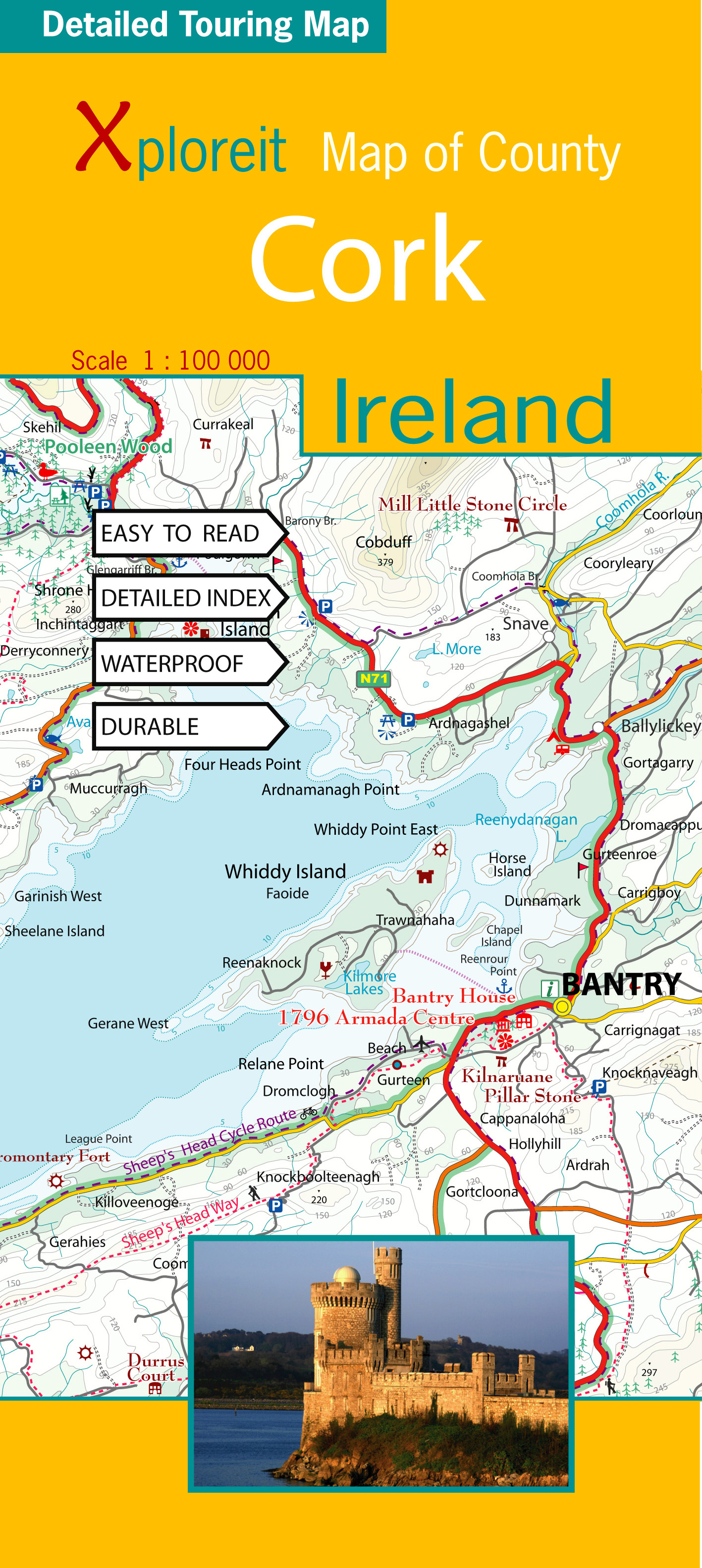
- Wegenkaart - landkaart - Fietskaart Cork (Ierland) | Xploreit Maps
- County Cork at 1:100,000 in a series of double-sided, GPS-compatible maps from Xploreit Maps, with contours, altitude colouring, hiking trails and cycling routes, and printed on light, waterproof and tear-resistant plastic paper.Topography is shown by altitude colouring with contours (interval varies) and plenty of names of geographical... Read more
- Also available from:
- Stanfords, United Kingdom

Stanfords
United Kingdom
United Kingdom
- Cork County
- County Cork at 1:100,000 in a series of double-sided, GPS-compatible maps from Xploreit Maps, with contours, altitude colouring, hiking trails and cycling routes, and printed on light, waterproof and tear-resistant plastic paper.Topography is shown by altitude colouring with contours (interval varies) and plenty of names of geographical... Read more
De Zwerver
Netherlands
Netherlands

De Zwerver
Netherlands
2024
Netherlands
2024

De Zwerver
Netherlands
Netherlands
- Wandelkaart 5 Rila gebergte | Domino
- Rila Mountains at 1:50,000 on a large, double-sided, contoured map with GPS waypoints for shelters and chalets, peaks, etc. and highlighting hiking routes. Topography is shown by contours at 50m intervals with additional relief shading and graphics and colouring for scree, single rocks over 5m high, marshlands and pine scrub and forests. An... Read more
- Also available from:
- Stanfords, United Kingdom

Stanfords
United Kingdom
United Kingdom
- Rila Mountains Domino
- Rila Mountains at 1:50,000 on a large, double-sided, contoured map with GPS waypoints for shelters and chalets, peaks, etc. and highlighting hiking routes. Topography is shown by contours at 50m intervals with additional relief shading and graphics and colouring for scree, single rocks over 5m high, marshlands and pine scrub and forests. An... Read more

De Zwerver
Netherlands
Netherlands
- Wandelkaart Sredna Gora - Bulgarije | Domino
- Pirin Mountains at 1:50,000 on a large, double-sided, contoured map with GPS waypoints for shelters and chalets, peaks, etc. and highlighting hiking routes. Topography is shown by contours at 40m intervals with additional relief shading and graphics and colouring for sandstone stacks, single rocks over 5m high, marshlands and different types of... Read more
De Zwerver
Netherlands
Netherlands
De Zwerver
Netherlands
Netherlands
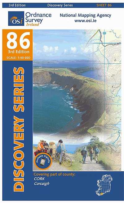
- Topografische kaart - Wandelkaart 86 Discovery Cork (Bandon) | Ordnance Survey Ireland
- Map No. 86, Cork Central in the Discovery series from the OSI, the Ordnance Survey of Ireland, which presents the country on detailed topographic maps at 1:50,000, with additional overprint highlighting campsites and caravan parks, youth hostels, etc. Current 3rd edition of this map was published in July 2010.Maps in the Discovery series have... Read more
- Also available from:
- Stanfords, United Kingdom

Stanfords
United Kingdom
United Kingdom
- Cork OSI Discovery 86
- Map No. 86, Cork Central in the Discovery series from the OSI, the Ordnance Survey of Ireland, which presents the country on detailed topographic maps at 1:50,000, with additional overprint highlighting campsites and caravan parks, youth hostels, etc. Current 4th edition of this map was published in October 2015.Maps in the Discovery series... Read more
De Zwerver
Netherlands
Netherlands
De Zwerver
Netherlands
Netherlands
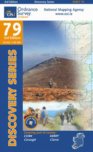
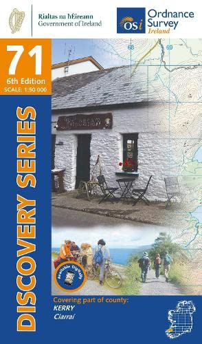
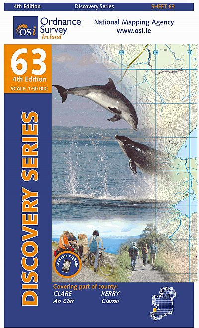
- Topografische kaart - Wandelkaart 63 Discovery Clare, Kerry | Ordnance Survey Ireland
- Map No. 63, Clare South-West - Kerry North in the Discovery series from the OSI, the Ordnance Survey of Ireland, which presents the country on detailed topographic maps at 1:50,000, with additional overprint highlighting campsites and caravan parks, youth hostels, etc. Current 4th edition of this map was published in January 2013.Maps in the... Read more
- Also available from:
- Stanfords, United Kingdom

Stanfords
United Kingdom
United Kingdom
- Clare - Kerry OSI Discovery 63
- Map No. 63, Clare South-West - Kerry North in the Discovery series from the OSI, the Ordnance Survey of Ireland, which presents the country on detailed topographic maps at 1:50,000, with additional overprint highlighting campsites and caravan parks, youth hostels, etc. Current 4th edition of this map was published in January 2013.Maps in the... Read more
Weitere …
