
GR52A - Panoramique du Mercantour
Beschreibung
- Name GR52A - Panoramique du Mercantour (GR52A)
- Länge von Wanderweg 230 km, 143 Meilen
- Länge in Tagen 15 Tage
- Anfang von Wanderweg Valle Vermenagna (I)
- Ende von Wanderweg Colmars-les-Alpes (F)
- Traildino Schwierigkeit SW, Anspruchsvolle Wanderung, Bergwanderung
- Schwierigkeitsgrad Berg- und Alpinwanderung T2, Bergwandern


52A
 Valle Vermenagna (Italy) - Colmars-les-Alpes, 230 km, two weeks
The popular GR52A trail traverses the National Parc Mercantour. This Alpine parc can be found in the southeastern corner of France, on the border with Italy. The trail offers both splendid mountain scenery, culture and important archeological remains.
Select some tracks
☐Le Sentier panoramique du Mercantour, 214km
Karte

Links
Fakten
Berichte
Führer und Karten
Übernachtung
Organisationen
Reisebüros
GPS
Sonstiges
Bücher

Stanfords
United Kingdom
2020
United Kingdom
2020
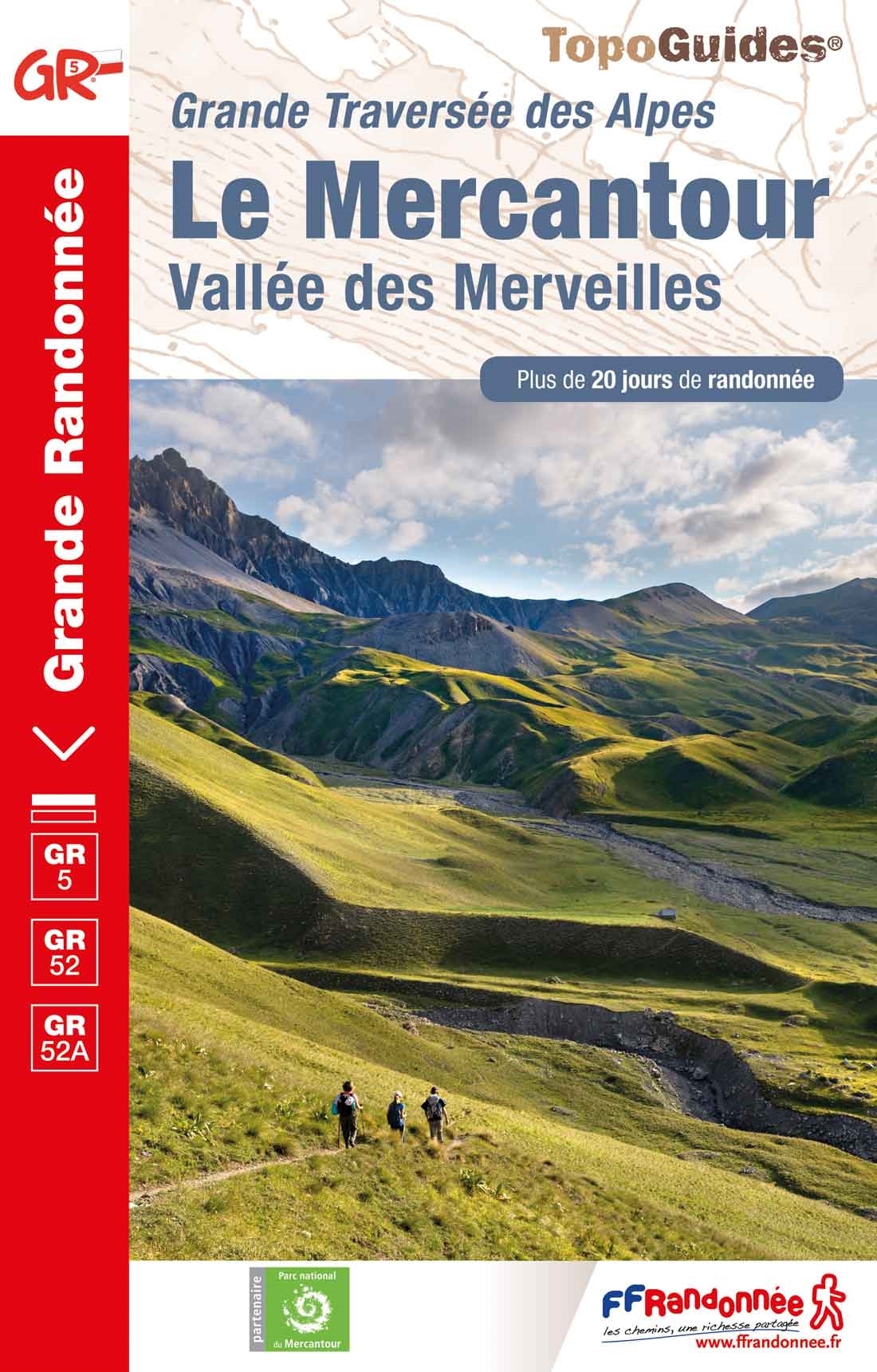
- Le Mercantour - Vallee des Merveilles GR5/GR52/52A
- Le Mercantour: Larche – Nice/Menton, Vallée des Merveilles, FFRP topoguide Ref. No. 507, covering 450km of long-distance routes: the last section of the GR5 in the French Alps from Larche to Nice, an alternative variant off GR5 along the GR52 leading via the Vallée des Merveilles to Menton, plus GR52A – Panoramique du Mecantour from Col du... Read more