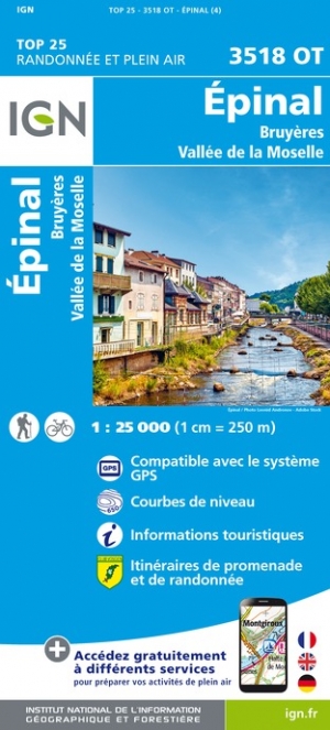
Vosges
Beschreibung

Range of low mountains west of the Rhine Valley.
Karte

Wanderwege Region
Links
Fakten
Berichte
Führer und Karten
Übernachtung
Organisationen
Reisebüros
GPS
Sonstiges
Bücher

- Also available from:
- De Zwerver, Netherlands
- Stanfords, United Kingdom
De Zwerver
Netherlands
2016
Netherlands
2016

Stanfords
United Kingdom
2016
United Kingdom
2016
- Cheltenham, Cirencester & Stow-on-the-Wold OS Landranger Map 163 (paper)
- Cheltenham and Cirencester area, including sections of the Thames Path, the Cotswold Way and the E2 European Long-distance Path, on a paper version of map No. 163 from the Ordnance Survey’s Landranger series at 1:50,000, with contoured and GPS compatible topographic mapping plus tourist information.MOBILE DOWNLOADS: As well as the physical... Read more

- Also available from:
- De Zwerver, Netherlands
- Stanfords, United Kingdom

De Zwerver
Netherlands
2016
Netherlands
2016

Stanfords
United Kingdom
2016
United Kingdom
2016
- Oxford, Chipping Norton & Bicester OS Landranger Map 164 (paper)
- Oxford area, including sections of the Thames Path and the E2 European Long-distance Path, on a paper version of map No. 164 from the Ordnance Survey’s Landranger series at 1:50,000, with contoured and GPS compatible topographic mapping plus tourist information.MOBILE DOWNLOADS: As well as the physical edition of the map, each Landranger title... Read more

- Also available from:
- Stanfords, United Kingdom

Stanfords
United Kingdom
United Kingdom
- Dorking, Reigate, Crawley & Horsham OS Landranger Active Map 187 (waterproof)
- Dorking and Reigate area, including a section of the North Downs Way / E2 European Long-distance Path, on a waterproof and tear-resistant OS Active version of map No. 187 from the Ordnance Survey’s Landranger series at 1:50,000, with contoured and GPS compatible topographic mapping plus tourist information.MOBILE DOWNLOADS: As well as the... Read more

- Also available from:
- De Zwerver, Netherlands
- Stanfords, United Kingdom

De Zwerver
Netherlands
2016
Netherlands
2016

Stanfords
United Kingdom
2016
United Kingdom
2016
- Bury St Edmunds, Sudbury & Stowmarket OS Landranger Map 155 (paper)
- Suffolk around Bury St Edmunds, Sudbury and Stowmarket, including part of the E2 European Long-distance path, on a paper version of map No. 155 from the Ordnance Survey’s Landranger series at 1:50,000, with contoured and GPS compatible topographic mapping plus tourist information.MOBILE DOWNLOADS: As well as the physical edition of the map,... Read more

- Also available from:
- De Zwerver, Netherlands
- Stanfords, United Kingdom

De Zwerver
Netherlands
2016
Netherlands
2016

Stanfords
United Kingdom
2016
United Kingdom
2016
- North York Moors Western OS Explorer Map OL26 (paper)
- The western part of the North York Moors National Park on a detailed topographic and GPS compatible map OL26, paper version, from the Ordnance Survey’s 1:25,000 Explorer series. Coverage extends from Ampleforth in the south northwards to Saltburn-by-the-Sea, and from Ingleby Arncliffe to Danby, Castleton and Hutton-le-Hole, and includes... Read more

- Also available from:
- Stanfords, United Kingdom

Stanfords
United Kingdom
United Kingdom
- Canterbury, East Kent, Dover & Margate OS Landranger Active Map 179 (waterproof)
- Eastern Kent with Canterbury, Dover and Margate, including sections of the North Downs Way and the E2 and E9 European Long-Distance Paths, on a waterproof and tear-resistant OS Active version of map No. 179 from the Ordnance Survey’s Landranger series at 1:50,000, with contoured and GPS compatible topographic mapping plus tourist... Read more

- Also available from:
- Stanfords, United Kingdom

Stanfords
United Kingdom
United Kingdom
- Kettering, Corby, Market Harborough & Stamford OS Landranger Active Map 141 (waterproof)
- The area around Kettering, Corby, Market Harborough and Stamford, including Rockingham Forest and part of the E2 European Long-distance Path, on a waterproof and tear-resistant OS Active version of map No. 141 from the Ordnance Survey’s Landranger series at 1:50,000, with contoured and GPS compatible topographic mapping plus tourist... Read more

- Also available from:
- Stanfords, United Kingdom

Stanfords
United Kingdom
United Kingdom
- Birmingham, Wolverhampton & The Black Country OS Landranger Active Map 139 (waterproof)
- Birmingham with the surrounding area including the Black Country, Wolverhampton, Walsall, Solihull, Stourbridge, Bromsgrove and a section of the E2 European Long-distance Path on a waterproof and tear-resistant OS Active version of map No. 139 from the Ordnance Survey’s Landranger series at 1:50,000, with contoured and GPS compatible... Read more

- Also available from:
- Stanfords, United Kingdom

Stanfords
United Kingdom
United Kingdom
- Cheviot Hills - Jedburgh & Wooler OS Explorer Active Map OL16 (waterproof)
- The Cheviot Hills on a detailed topographic and GPS compatible map OL16, waterproof version, from the Ordnance Survey’s 1:25,000 Explorer series. Coverage includes Jedburgh, Woolmer, part of the Northumberland National Park, the peaks of The Cheviot, Corby Pike, Cold Law, Scrathy Holes and Windy Gyle, Catcleugh Reservoir, sections of the... Read more


- Also available from:
- De Zwerver, Netherlands
- Stanfords, United Kingdom

De Zwerver
Netherlands
2016
Netherlands
2016

Stanfords
United Kingdom
2016
United Kingdom
2016
- Canterbury, East Kent, Dover & Margate OS Landranger Map 179 (paper)
- Eastern Kent with Canterbury, Dover and Margate, including sections of the North Downs Way and the E2 and E9 European Long-Distance Paths, on a paper version of map No. 179 from the Ordnance Survey’s Landranger series at 1:50,000, with contoured and GPS compatible topographic mapping plus tourist information.MOBILE DOWNLOADS: As well as the... Read more

- Also available from:
- Stanfords, United Kingdom

Stanfords
United Kingdom
United Kingdom
- Peterborough, Market Deeping & Chatteris OS Landranger Active Map 142 (waterproof)
- The area around Peterborough, Market Deeping and Chatteris, including the Fens of the North and Middle Levels with part of the E2 European Long-distance Path, on a waterproof and tear-resistant OS Active version of map No. 142 from the Ordnance Survey’s Landranger series at 1:50,000, with contoured and GPS compatible topographic mapping plus... Read more


- Also available from:
- De Zwerver, Netherlands
- Stanfords, United Kingdom
De Zwerver
Netherlands
2016
Netherlands
2016

Stanfords
United Kingdom
2016
United Kingdom
2016
- Aldershot, Guildford, Camberley & Haslemere OS Landranger Map 186 (paper)
- Aldershot and Guildford area, including the northern part of the South Downs National Park and a section of the North Downs Way / E2 European Long-distance Path, on a paper version of map No. 186 from the Ordnance Survey’s Landranger series at 1:50,000, with contoured and GPS compatible topographic mapping plus tourist information.MOBILE... Read more

- Also available from:
- De Zwerver, Netherlands
- Stanfords, United Kingdom
De Zwerver
Netherlands
2016
Netherlands
2016

Stanfords
United Kingdom
2016
United Kingdom
2016
- Peterborough, Market Deeping & Chatteris OS Landranger Map 142 (paper)
- The area around Peterborough, Market Deeping and Chatteris, including the Fens of the North and Middle Levels with part of the E2 European Long-distance Path, on a paper version of map No. 142 from the Ordnance Survey’s Landranger series at 1:50,000, with contoured and GPS compatible topographic mapping plus tourist information.MOBILE... Read more
Karten

- Also available from:
- De Zwerver, Netherlands
- Also available from:
- De Zwerver, Netherlands


- Also available from:
- De Zwerver, Netherlands

- Also available from:
- De Zwerver, Netherlands

- Also available from:
- De Zwerver, Netherlands
- Stanfords, United Kingdom

De Zwerver
Netherlands
Netherlands
Stanfords
United Kingdom
United Kingdom
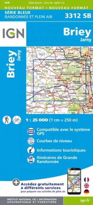
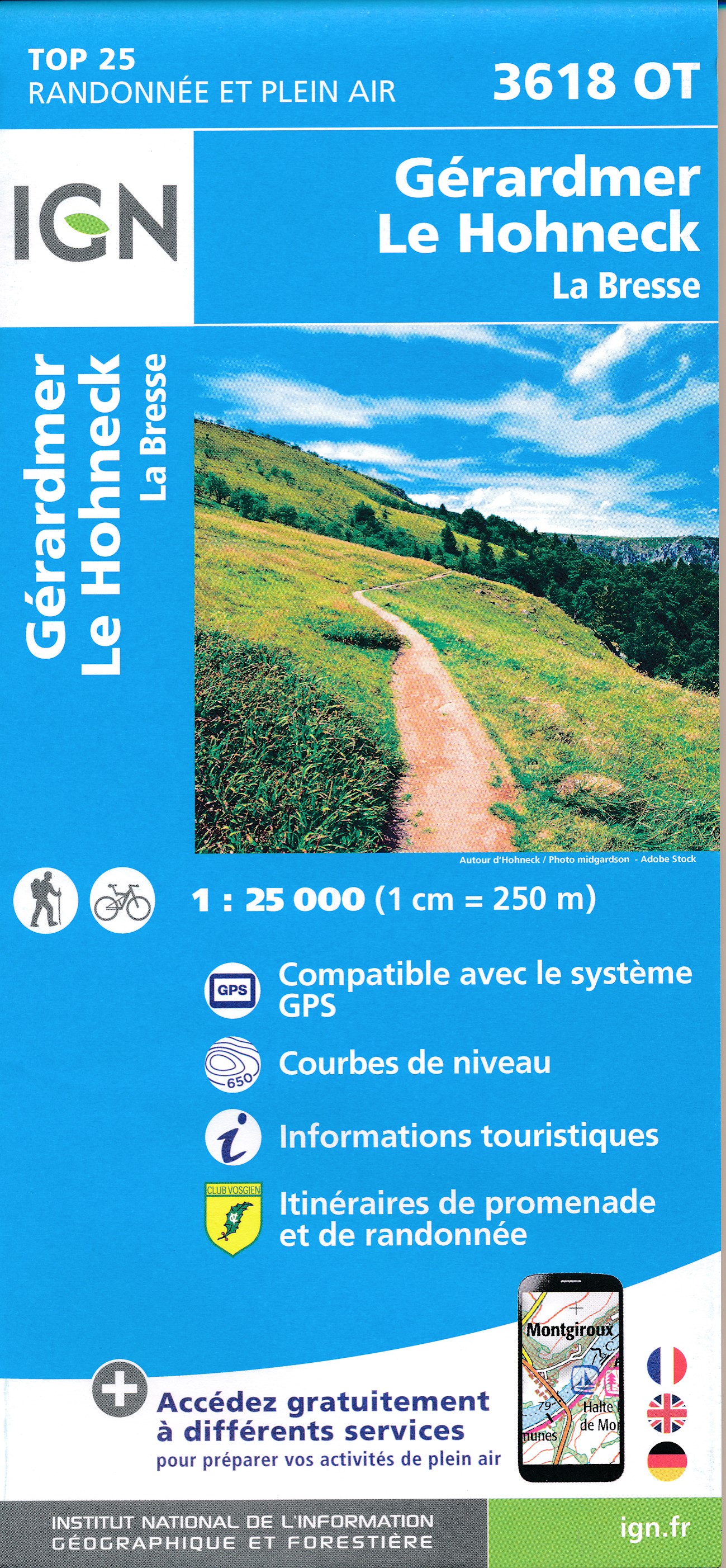
- Briey - Jarny IGN 3312SB
- Topographic survey of France at 1:25,000 in IGN`s excellent TOP25 / Série Bleue series. All the maps are GPS compatible, with a 1km UTM grid plus latitude and longitude lines at 5’ intervals. Contours are at 5m intervals except for mountainous areas where the maps have contours at 10m intervals, vividly enhanced by hill shading and graphics for... Read more

- Also available from:
- De Zwerver, Netherlands


- Also available from:
- De Zwerver, Netherlands


- Also available from:
- De Zwerver, Netherlands

- Also available from:
- De Zwerver, Netherlands

- Also available from:
- De Zwerver, Netherlands

- Also available from:
- De Zwerver, Netherlands

- Also available from:
- De Zwerver, Netherlands
- Stanfords, United Kingdom
De Zwerver
Netherlands
Netherlands

Stanfords
United Kingdom
United Kingdom
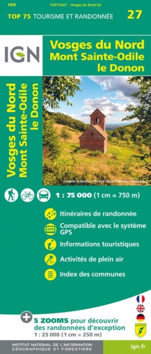
- Vosges North - Mont Sainte-Odile - le Donon IGN 75027
- TOP75 IGN maps (Tourism & Hiking) are ideal for discovering exceptional regions. Thanks to their ultra-precise mapping at a scale of 1:75,000, you can practice your favorite leisure activities: on foot by bike or by car. These maps include, in addition, 5 extracts of TOP25 at a scale of 1:25,000 for hiking in exceptional natural sites. Read more

- Also available from:
- De Zwerver, Netherlands
- Stanfords, United Kingdom
De Zwerver
Netherlands
Netherlands

Stanfords
United Kingdom
United Kingdom
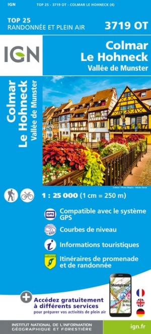
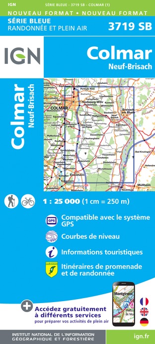
- Colmar - Neuf-Brisach IGN 3719SB
- Between 2014 and 2019, the IGN renewed its entire Serie Bleue collection. A new map for optimal readability, with better geometric precision and enriched tourist information. A new format twice as large: the format of the new Serie Bleue is equivalent to that of the Top 25 and the number of references will thus be divided by 2. For most maps,... Read more

- Also available from:
- Stanfords, United Kingdom


- Also available from:
- De Zwerver, Netherlands