
Verdon
Beschreibung

The Verdon is a region in the Provence, the south of France. Best known feature is the Gorges du Verdon, a ravine formed by the river Verdon, explored by the GR99.
Karte

Wanderwege Region
Links
Fakten
Berichte
Führer und Karten
Übernachtung
Organisationen
Reisebüros
GPS
Sonstiges
Bücher


The Book Depository
United Kingdom
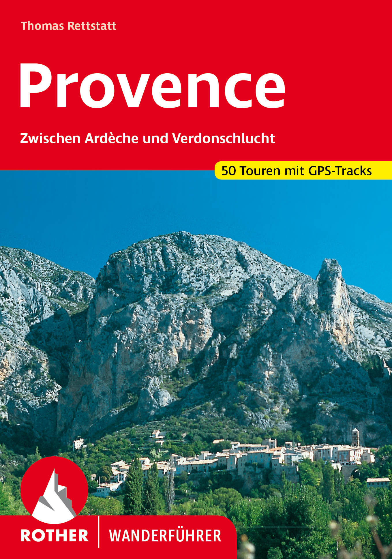
2019
United Kingdom
2019
- Also available from:
- De Zwerver, Netherlands

- Also available from:
- Stanfords, United Kingdom

Stanfords
United Kingdom
2021
United Kingdom
2021
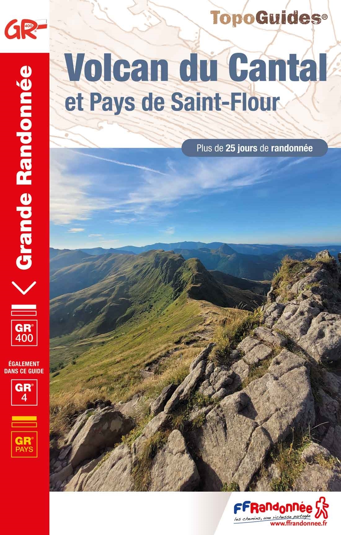
- Volcan du Cantal et Pays de Saint-Flour - Haute-Auvergne GR400/4
- Volcan du Cantal: Pays de Saint-Flour et de Ruynes-en-Margeride, FFRP topoguide, Ref. No. 400, covering 600kms of long-distance paths in the Cantal region of the Massif Central, which can also be walked as shorter circuits. Current edition of this title was published in July 2013.To see other titles in this series please click on the series... Read more

- Also available from:
- Stanfords, United Kingdom
Stanfords
United Kingdom
2021
United Kingdom
2021
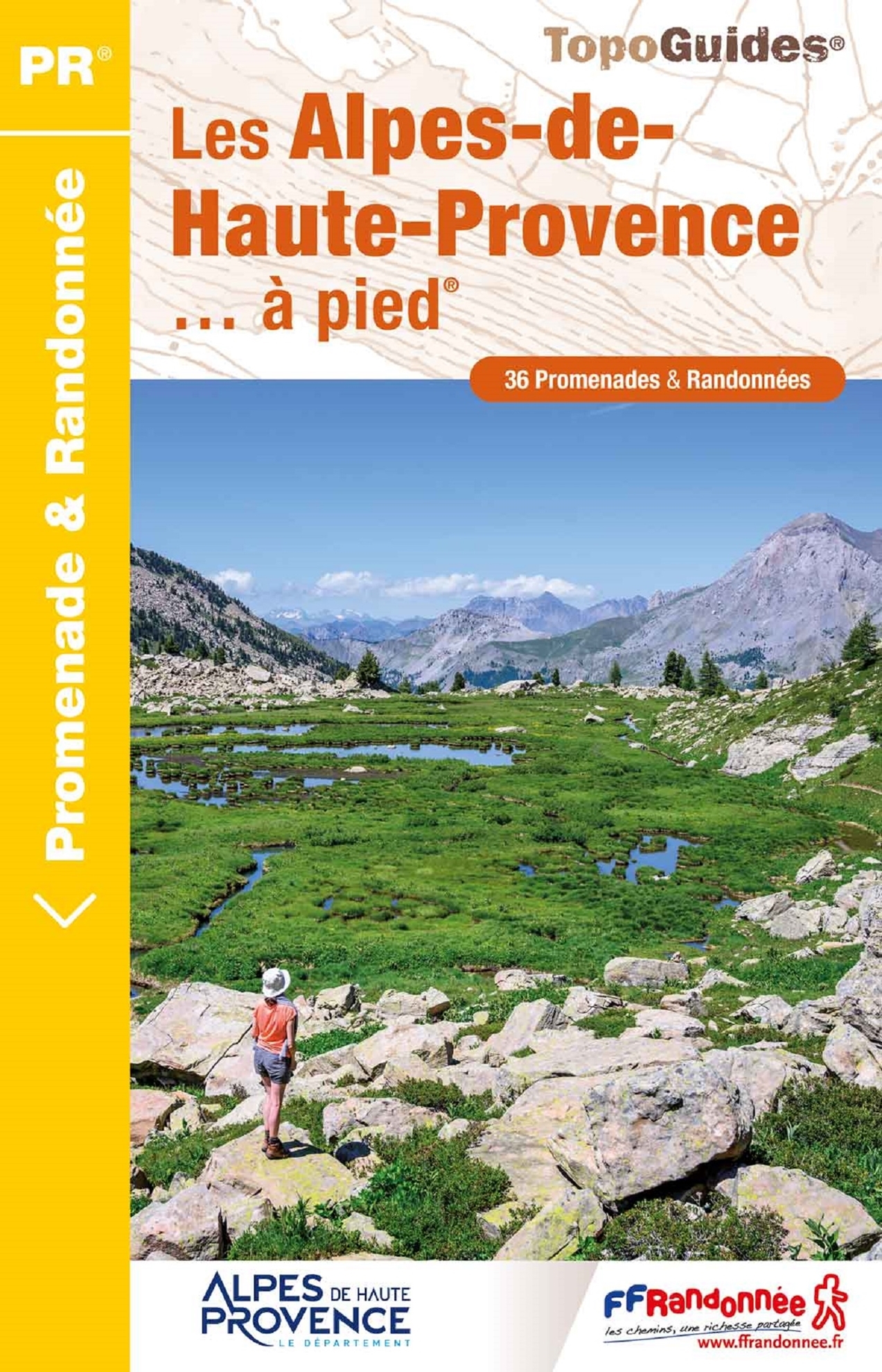
- Les Alpes-de-Haute-Provence a pied
- 36 walks through the Montagne de Lure, the Valensole plateau, the Verdon gorges, the Luberon and Mercantour parks ... Edition 2017Alps (France) Read more
De Zwerver
Netherlands
2022
Netherlands
2022
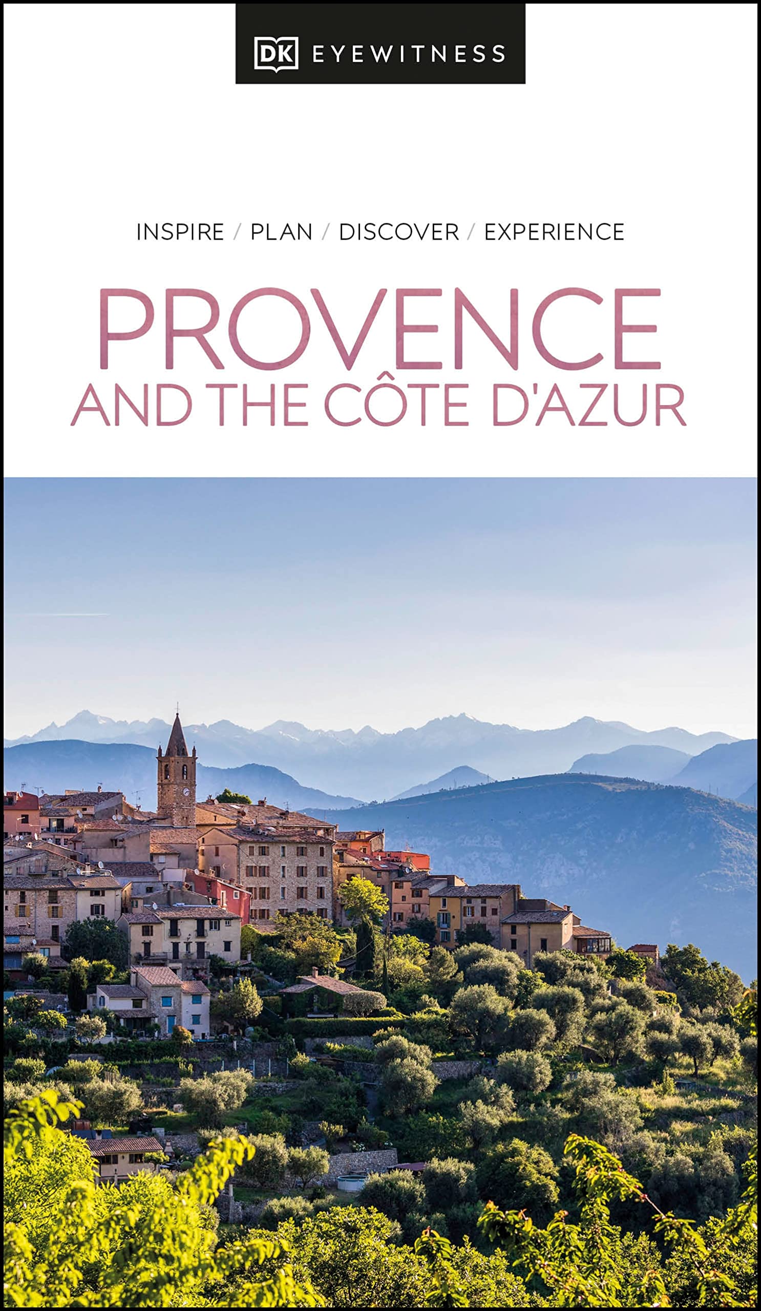
- Reisgids Eyewitness Travel Provence and the Cote d'Azur | Dorling Kindersley
- France`s most alluring region promises fragrant fields of lavender, incredible ancient relics and celebrated art collections.Whether you want to watch flocks of flamingos strutting across the wild wetlands of the Camargue, visit lush vineyards in the Rhone valley or simply soak up the sun in St-Tropez, your DK Eyewitness travel guide makes sure... Read more
De Zwerver
Netherlands
2013
Netherlands
2013
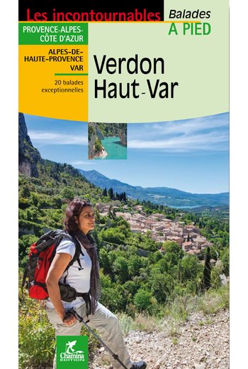
- Wandelgids Verdon - Haut Var | Chamina
- Wandelgids Verdon - Haut Verdon met dagwandelingen - Duidelijk kaartmateriaal met ingetekende routes, de beschrijvingen zijn goed. Daarnaast ook praktische informatie. . À la découverte du plus beau canyon d’Europe, 20 itinéraires entre Alpes-de-Haute-Provence et Var, entre collines de l’arrière-pays varois et Préalpes de Digne. • Introduction... Read more
De Zwerver
Netherlands
2023
Netherlands
2023
De Zwerver
Netherlands
2023
Netherlands
2023

De Zwerver
Netherlands
2024
Netherlands
2024
De Zwerver
Netherlands
2021
Netherlands
2021
Stanfords
United Kingdom
2019
United Kingdom
2019
- Volcan du Cantal - Pays de Saint-Flour - Haute-Auvergne GR400/4
- Volcan du Cantal: Pays de Saint-Flour et de Ruynes-en-Margeride, FFRP topoguide, Ref. No. 400, covering 600kms of long-distance paths in the Cantal region of the Massif Central, which can also be walked as shorter circuits. Current edition of this title was published in July 2013.To see other titles in this series please click on the series... Read more

Stanfords
United Kingdom
United Kingdom
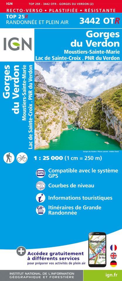
- Gorges du Verdon - Moustiers-Sainte-Marie - Lac de Ste-Croix - PNR du Verdon IGN WATERPROOF 3442OTR
- Topographic survey of France at 1:25,000 in IGN`s excellent TOP25 / Série Bleue series. All the maps are GPS compatible, with a 1km UTM grid plus latitude and longitude lines at 5’ intervals. Contours are at 5m intervals except for mountainous areas where the maps have contours at 10m intervals, vividly enhanced by hill shading and graphics for... Read more
Stanfords
United Kingdom
2018
United Kingdom
2018
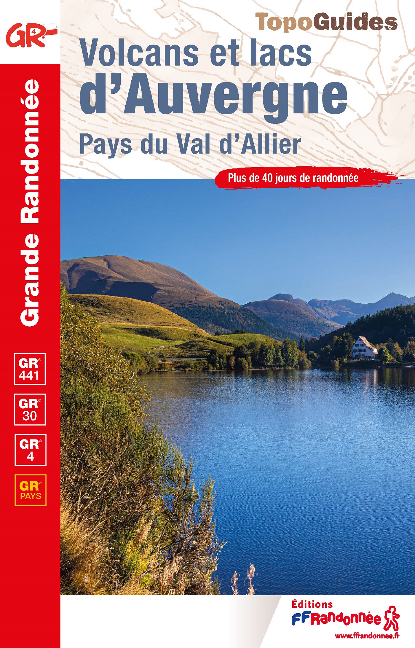
- Volcans et lacs d`Auvergne - Pays du Val d`Allier GR30/GR41
- Volcans et lacs d`Auvergne, FFRP topoguide Ref. no. 305, covering in all 886km of hiking trails across the volcanic landscape of the Auvergne west and south of Clermont-Ferrand, including sections of GR 30 and GR41. Current edition of this title was published in June 2014.ABOUT THE FFRP (Fédération française de la randonnée pédestre)... Read more

Stanfords
United Kingdom
United Kingdom
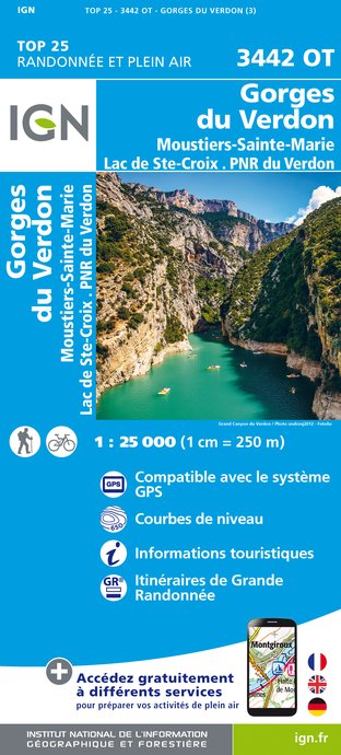
- Gorges du Verdon - Moustiers-Sainte-Marie - Lac de Ste-Croix - PNR du Verdon IGN 3442OT
- Topographic survey of France at 1:25,000 in IGN`s excellent TOP25 / Série Bleue series. All the maps are GPS compatible, with a 1km UTM grid plus latitude and longitude lines at 5’ intervals. Contours are at 5m intervals except for mountainous areas where the maps have contours at 10m intervals, vividly enhanced by hill shading and graphics for... Read more
Karten

- Also available from:
- De Zwerver, Netherlands

The Book Depository
United Kingdom
United Kingdom
- Haute Esteron / Prealpes de Grasse / PNR Verdon
- Topographic survey of France at 1:25,000 in IGN`s excellent TOP25 / Série Bleue series. All the maps are GPS compatible, with a 1km UTM grid plus latitude and longitude lines at 5’ intervals. Contours are at 5m intervals except for mountainous areas where the maps have contours at 10m intervals, vividly enhanced by hill shading and graphics for... Read more
- Also available from:
- De Zwerver, Netherlands
- Stanfords, United Kingdom
De Zwerver
Netherlands
Netherlands
- Wandelkaart - Topografische kaart 3542ET Haute Estéron | IGN - Institut Géographique National
- Topographic survey of France at 1:25,000 in IGN`s excellent TOP25 / Série Bleue series. All the maps are GPS compatible, with a 1km UTM grid plus latitude and longitude lines at 5’ intervals. Contours are at 5m intervals except for mountainous areas where the maps have contours at 10m intervals, vividly enhanced by hill shading and graphics for... Read more

Stanfords
United Kingdom
United Kingdom
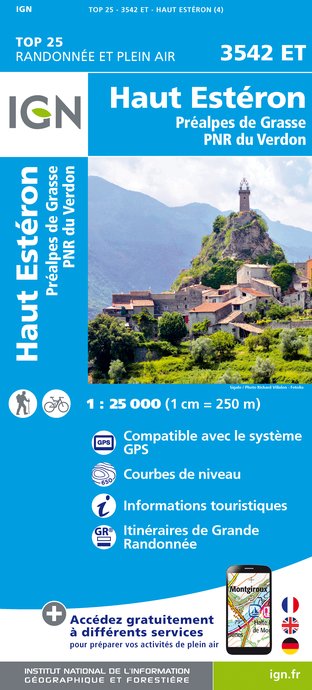
- Haut-Esteron - Prealpes de Grasse - PNR du Verdon IGN 3542ET
- Topographic survey of France at 1:25,000 in IGN`s excellent TOP25 / Série Bleue series. All the maps are GPS compatible, with a 1km UTM grid plus latitude and longitude lines at 5’ intervals. Contours are at 5m intervals except for mountainous areas where the maps have contours at 10m intervals, vividly enhanced by hill shading and graphics for... Read more

The Book Depository
United Kingdom
2022
United Kingdom
2022
- Also available from:
- De Zwerver, Netherlands
De Zwerver
Netherlands
2022
Netherlands
2022

- Also available from:
- De Zwerver, Netherlands
- Stanfords, United Kingdom

De Zwerver
Netherlands
Netherlands
Stanfords
United Kingdom
United Kingdom
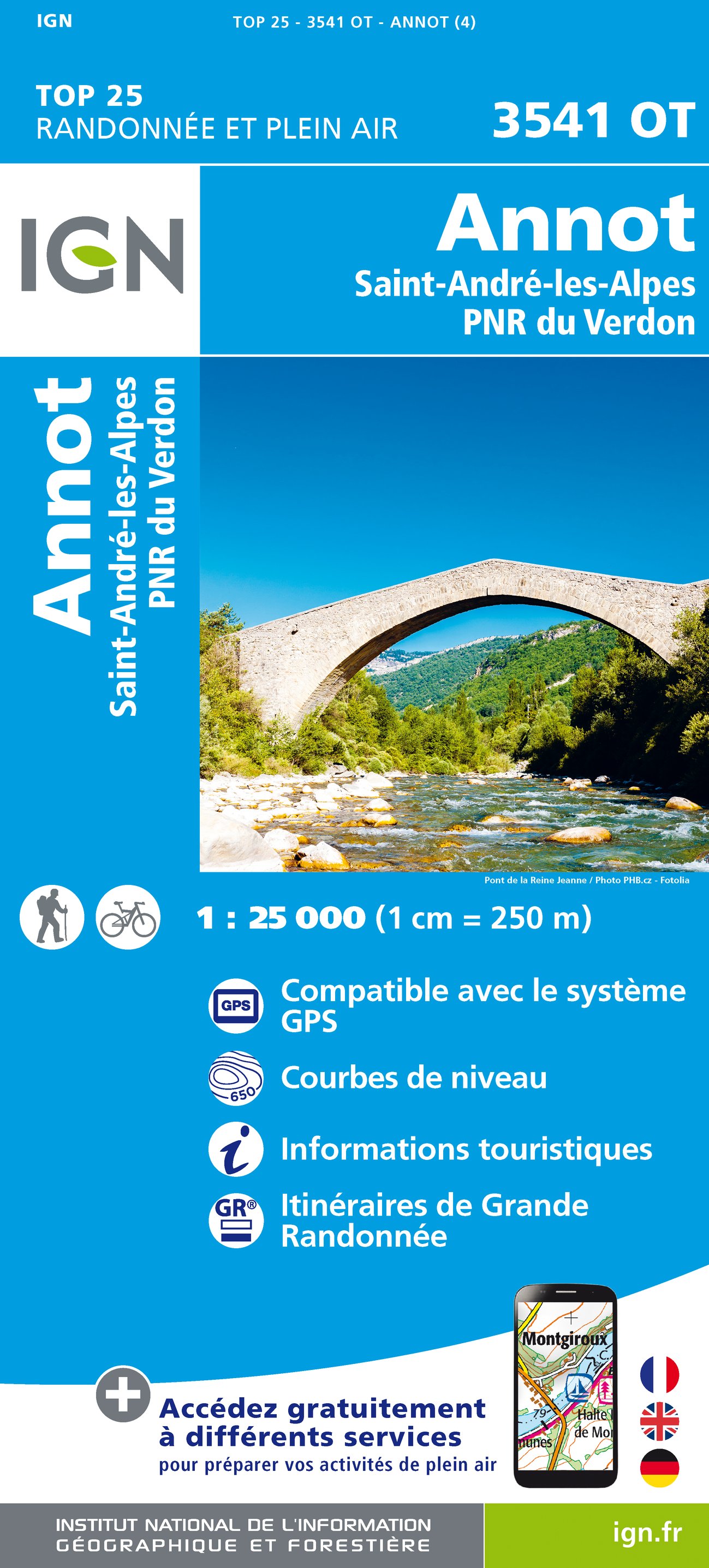
- Annot - Saint-Andre-les-Alpes - PNR du Verdon IGN 3541OT
- Topographic survey of France at 1:25,000 in IGN`s excellent TOP25 / Série Bleue series. All the maps are GPS compatible, with a 1km UTM grid plus latitude and longitude lines at 5’ intervals. Contours are at 5m intervals except for mountainous areas where the maps have contours at 10m intervals, vividly enhanced by hill shading and graphics for... Read more

- Also available from:
- De Zwerver, Netherlands


The Book Depository
United Kingdom
United Kingdom
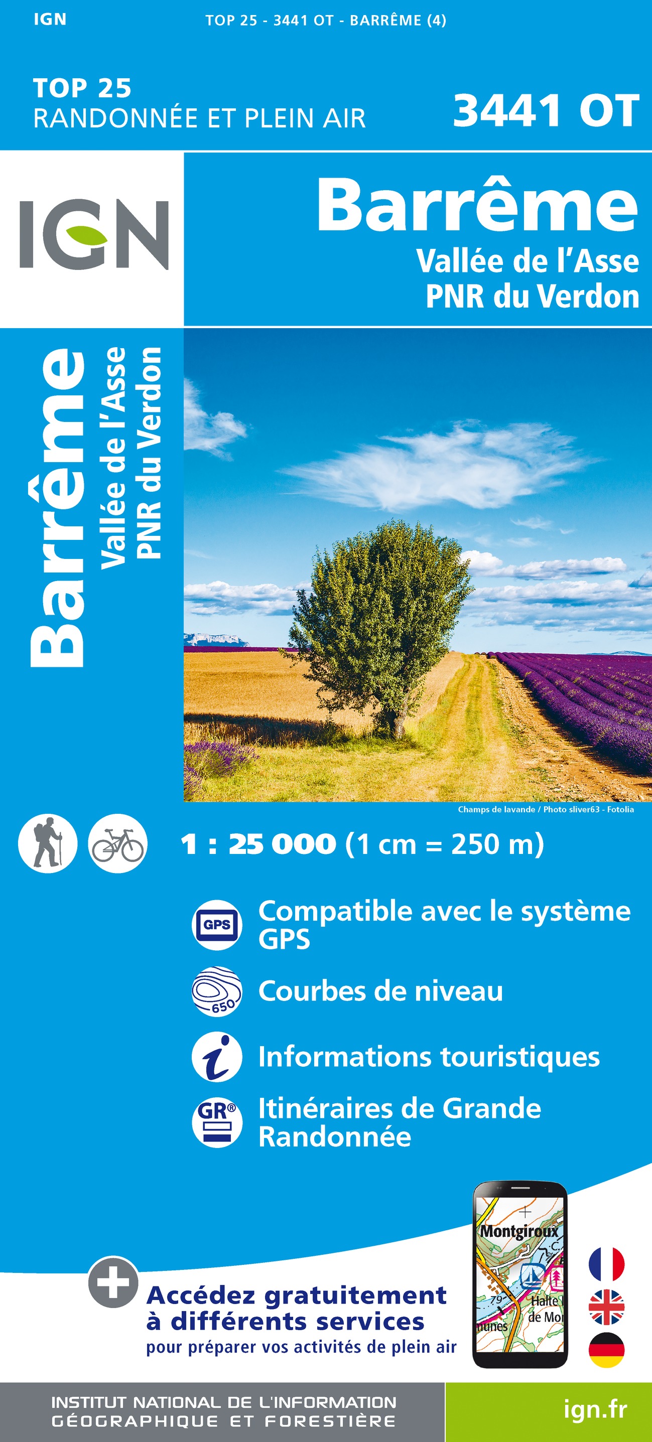
- Barreme / Vallee de l'Asse / PNR du Verdon
- Topographic survey of France at 1:25,000 in IGN`s excellent TOP25 / Série Bleue series. All the maps are GPS compatible, with a 1km UTM grid plus latitude and longitude lines at 5’ intervals. Contours are at 5m intervals except for mountainous areas where the maps have contours at 10m intervals, vividly enhanced by hill shading and graphics for... Read more
- Also available from:
- De Zwerver, Netherlands
- Stanfords, United Kingdom
De Zwerver
Netherlands
Netherlands
- Wandelkaart - Topografische kaart 3441OT Barrême | IGN - Institut Géographique National
- Topographic survey of France at 1:25,000 in IGN`s excellent TOP25 / Série Bleue series. All the maps are GPS compatible, with a 1km UTM grid plus latitude and longitude lines at 5’ intervals. Contours are at 5m intervals except for mountainous areas where the maps have contours at 10m intervals, vividly enhanced by hill shading and graphics for... Read more

Stanfords
United Kingdom
United Kingdom
- Barreme - Vallee de l`Asse - PNR du Verdon IGN 3441OT
- Topographic survey of France at 1:25,000 in IGN`s excellent TOP25 / Série Bleue series. All the maps are GPS compatible, with a 1km UTM grid plus latitude and longitude lines at 5’ intervals. Contours are at 5m intervals except for mountainous areas where the maps have contours at 10m intervals, vividly enhanced by hill shading and graphics for... Read more
De Zwerver
Netherlands
Netherlands
- Also available from:
- Stanfords, United Kingdom

Stanfords
United Kingdom
United Kingdom
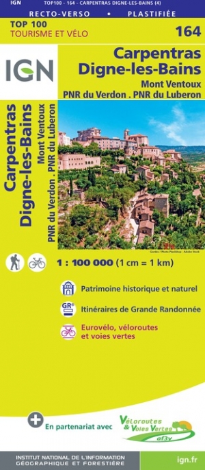
- Carpentras - Dignes-les-Bains - Mont Ventoux - PNR du Verdon - PNR du Luberon IGN TOP100 164
- Discover the new double-sided laminated edition of TOP100 road maps of France from the Institut Géographique National (IGN); exceptionally detailed, contoured road maps which include the cycle paths and greenways of the AF3V (French Association for the Development of Cycle Paths and Greenways), ideal for exploring the French countryside by car,... Read more
De Zwerver
Netherlands
Netherlands
- Fietskaart - Wegenkaart - landkaart 172 Toulon - Aix en Provence - Frejus | IGN - Institut Géographique National
- Map No. 172, Toulon - Aix-en-Provence, at 1:100,000, part of the TOP100 series from the Institut Géographique National (IGN). These exceptionally detailed, contoured and GPS compatible road maps which include English language map legend are ideal for exploring the French countryside by car, by bike, or even on foot. Used by millions of locals... Read more
- Also available from:
- Stanfords, United Kingdom

Stanfords
United Kingdom
United Kingdom
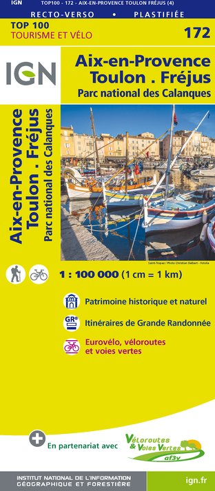
- Aix-en-Provence - Toulon - Frejus - Calanques National Park IGN TOP100 172
- Discover the new double-sided laminated edition of TOP100 road maps of France from the Institut Géographique National (IGN); exceptionally detailed, contoured road maps which include the cycle paths and greenways of the AF3V (French Association for the Development of Cycle Paths and Greenways), ideal for exploring the French countryside by car,... Read more

Stanfords
United Kingdom
United Kingdom
- Greoux-les-Bains - PNR du Verdon IGN 3343OT
- Topographic survey of France at 1:25,000 in IGN`s excellent TOP25 / Série Bleue series. All the maps are GPS compatible, with a 1km UTM grid plus latitude and longitude lines at 5’ intervals. Contours are at 5m intervals except for mountainous areas where the maps have contours at 10m intervals, vividly enhanced by hill shading and graphics for... Read more

Stanfords
United Kingdom
United Kingdom
- Plateau de Valensole - Riez - Oraison - PNR du Verdon IGN 3342ET
- Topographic survey of France at 1:25,000 in IGN`s excellent TOP25 / Série Bleue series. All the maps are GPS compatible, with a 1km UTM grid plus latitude and longitude lines at 5’ intervals. Contours are at 5m intervals except for mountainous areas where the maps have contours at 10m intervals, vividly enhanced by hill shading and graphics for... Read more

Stanfords
United Kingdom
United Kingdom
- Hungarian National Long-distance Blue Trail (E7): Irott-ko to Szekszard
- Hiking guide to the western section of Hungary’s National Blue Trail, including part of the E7 European long-distance footpath. The guide covers the route from Írott-ko in the Koszegi range on the Austrian border, across the Orség National Park and the Mecsek Hills near Pécs, to Szekszárd. At the border crossing with Slovakia near... Read more

Stanfords
United Kingdom
United Kingdom
- Castellane - Lac de Castillon - PNR du Verdon IGN 3542OT
- Topographic survey of France at 1:25,000 in IGN`s excellent TOP25 / Série Bleue series. All the maps are GPS compatible, with a 1km UTM grid plus latitude and longitude lines at 5’ intervals. Contours are at 5m intervals except for mountainous areas where the maps have contours at 10m intervals, vividly enhanced by hill shading and graphics for... Read more