
Welt
Beschreibung
Links
Fakten
Berichte
Führer und Karten
Übernachtung
Organisationen
Reisebüros
GPS
Sonstiges
Bücher

The Book Depository
United Kingdom
United Kingdom
- Resilient Hope
- 100 Devotions for Building Endurance in an Unpredictable World Read more

The Book Depository
United Kingdom
United Kingdom
- City Walks Edinburgh
- 15 short, fun and informative city walks bringing Edinburgh to life Read more


The Book Depository
United Kingdom
United Kingdom
- Moon Tokyo Walks (First Edition)
- See the City Like a Local Read more
- Also available from:
- Stanfords, United Kingdom

Stanfords
United Kingdom
United Kingdom
- Moon Tokyo Walks - First Edition: See the City Like a Local
- Experience Tokyo like a local: on foot! Stroll through the city and soak up its infectious energy, futuristic charm, and centuries of Japanese art and culture with `Moon Tokyo Walks`.- Walk through the city`s coolest neighbourhoods, including Shibuya, Harajuku, Shinjuku, Ginza, and more with colour-coded stops and turn-by-turn directions- Find... Read more

- Also available from:
- Stanfords, United Kingdom

Stanfords
United Kingdom
United Kingdom
- Somme: Walking the Somme
- This new edition of Paul Reed’s classic book Walking the Somme is an essential travelling companion for anyone visiting the Somme battlefields of 1916. His book, first published over ten years ago, is the result of a lifetime’s research into the battle and the landscape over which it was fought. From Gommecourt, Serre, Beaumont-Hamel and... Read more

The Book Depository
United Kingdom
United Kingdom
- Running Wild
- Inspirational Trails from Around the World - With a foreword by Dean Karnazes Read more

- Also available from:
- Stanfords, United Kingdom

Stanfords
United Kingdom
United Kingdom
- That Sweet City - Visions of Oxford
- In 1865 the Victorian poet Matthew Arnold rejoiced in the charm of Oxford, `that sweet City with her dreaming spires`. A century and a half later, That Sweet City offers a visual and poetic tribute to what is still one of the fairest and most enthralling places in the world. Designed in the form of seven walks across and around Oxford, and... Read more

The Book Depository
United Kingdom
United Kingdom
- Great Hiking Trails of the World
- 80 Trails, 75,000 Miles, 38 Countries, 6 Continents Read more

The Book Depository
United Kingdom
2013
United Kingdom
2013
- A Walk in the Clouds
- 75 short stories of adventures among the mountains of the world Read more


The Book Depository
United Kingdom
2020
United Kingdom
2020
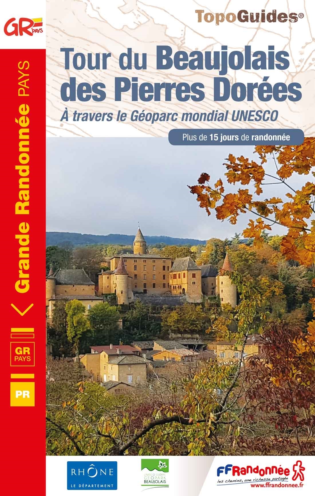
- Tour du Beaujolais des Pierres Dor�es +15j. rand.,12PR
- The Beaujolais tour of Pierres Dorées walking guide in frenchThis GR ®de Pays crosses the Beaujolais Geopark (UNESCO Global Geopark since 2018), which is characterized by the presence of limestone rocks that were used for the construction of the villages of Beaujolais, Lyonnais as well as in Switzerland.This soil gave this yellow ocher stone... Read more
- Also available from:
- De Zwerver, Netherlands
- Stanfords, United Kingdom
De Zwerver
Netherlands
2020
Netherlands
2020
- Wandelgids 6900 Tour du Beaujolais des Pierres Dorées | FFRP
- The Beaujolais tour of Pierres Dorées walking guide in frenchThis GR ®de Pays crosses the Beaujolais Geopark (UNESCO Global Geopark since 2018), which is characterized by the presence of limestone rocks that were used for the construction of the villages of Beaujolais, Lyonnais as well as in Switzerland.This soil gave this yellow ocher stone... Read more

Stanfords
United Kingdom
2020
United Kingdom
2020
- Le tour du Beaujolais des Pierres Dorées - UNESCO Geopark World Heritage Site
- The Beaujolais tour of Pierres Dorées walking guide in frenchThis GR ®de Pays crosses the Beaujolais Geopark (UNESCO Global Geopark since 2018), which is characterized by the presence of limestone rocks that were used for the construction of the villages of Beaujolais, Lyonnais as well as in Switzerland.This soil gave this yellow ocher stone... Read more


The Book Depository
United Kingdom
United Kingdom
- Walking St. Augustine
- An Illustrated Guide and Pocket History to America's Oldest City Read more
Karten
De Zwerver
Netherlands
Netherlands
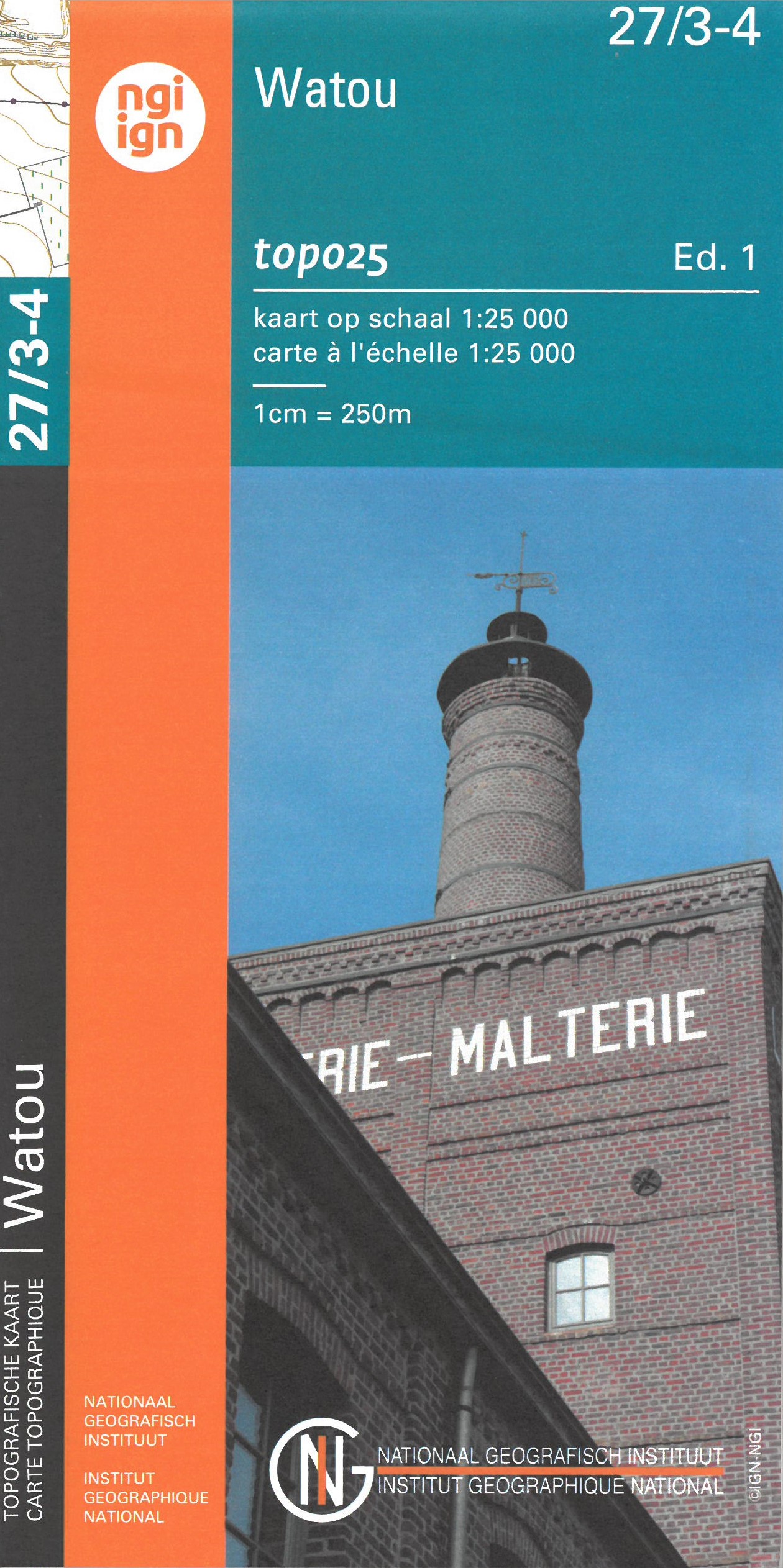
- Wandelkaart - Topografische kaart 27/3-4 Topo25 Watou | NGI - Nationaal Geografisch Instituut
- Topographical survey of Belgium at 1:20,000 from Nationaal Geografisch Instituut / Institut Géographique National, the country’s national survey organization. Each 20K map covers one quarter of the corresponding 1:50,000 map (with adjustments in the border and coastal areas). The maps provide all the information expected of topographic mapping... Read more
- Also available from:
- Stanfords, United Kingdom

Stanfords
United Kingdom
United Kingdom
- Watou NGI Topo 27/3-4
- Topographical survey of Belgium at 1:20,000 from Nationaal Geografisch Instituut / Institut Géographique National, the country’s national survey organization. Each 20K map covers one quarter of the corresponding 1:50,000 map (with adjustments in the border and coastal areas). The maps provide all the information expected of topographic mapping... Read more
De Zwerver
Netherlands
Netherlands
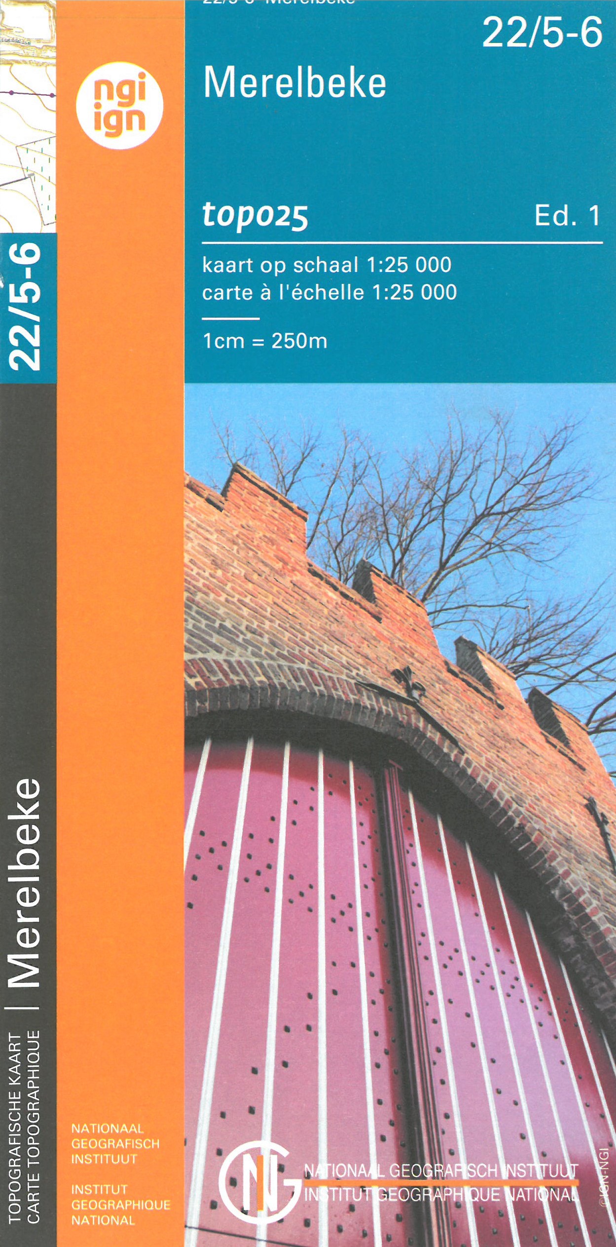
- Wandelkaart - Topografische kaart 22/5-6 Topo25 Merelbeke | NGI - Nationaal Geografisch Instituut
- Topographical survey of Belgium at 1:20,000 from Nationaal Geografisch Instituut / Institut Géographique National, the country’s national survey organization. Each 20K map covers one quarter of the corresponding 1:50,000 map (with adjustments in the border and coastal areas). The maps provide all the information expected of topographic mapping... Read more
- Also available from:
- Stanfords, United Kingdom

Stanfords
United Kingdom
United Kingdom
- Merelbeke NGI Topo 22/5-6
- Topographical survey of Belgium at 1:20,000 from Nationaal Geografisch Instituut / Institut Géographique National, the country’s national survey organization. Each 20K map covers one quarter of the corresponding 1:50,000 map (with adjustments in the border and coastal areas). The maps provide all the information expected of topographic mapping... Read more
De Zwerver
Netherlands
Netherlands
- Also available from:
- Stanfords, United Kingdom

Stanfords
United Kingdom
United Kingdom
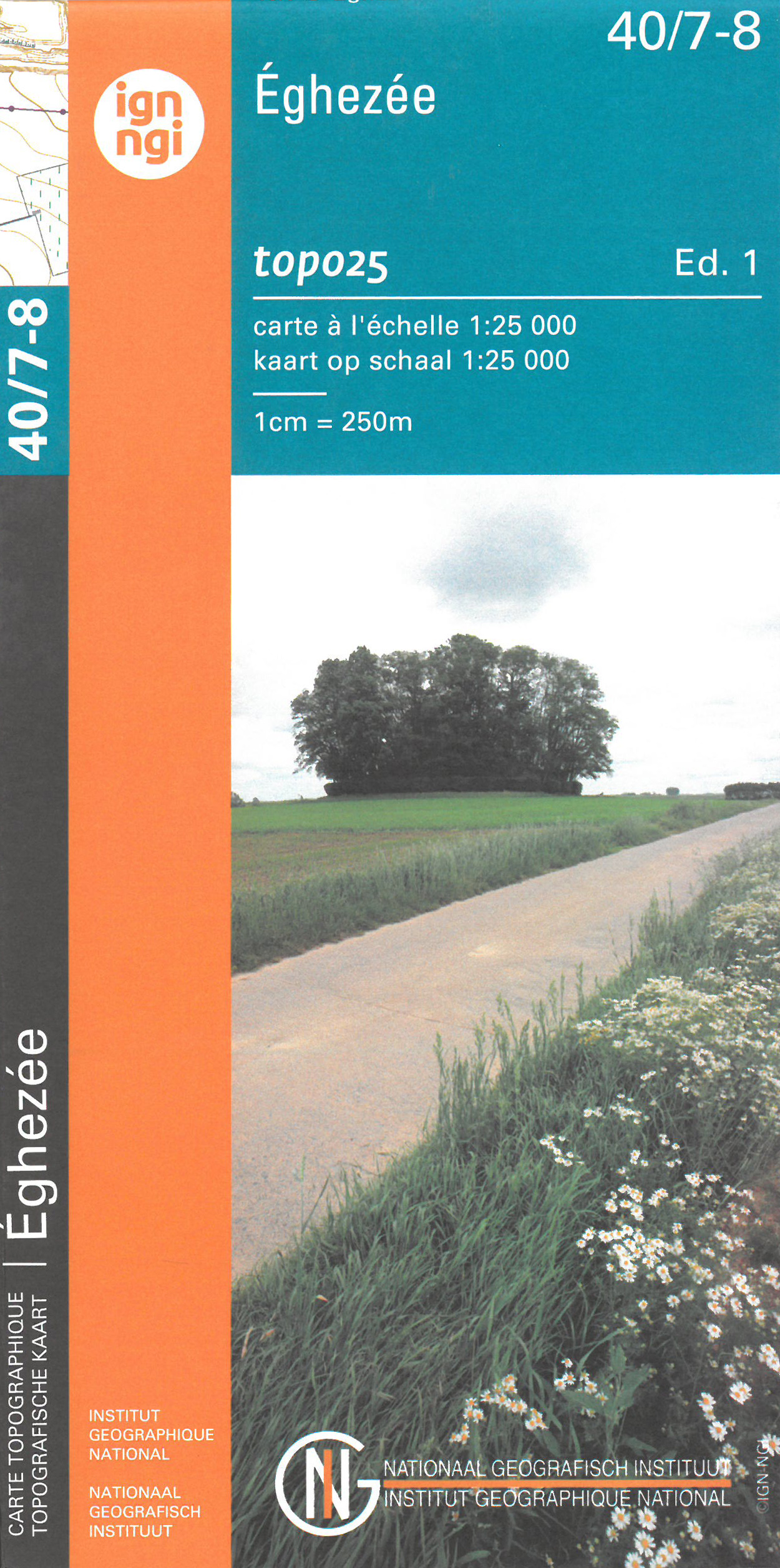
- Eghezee NGI Topo 40/7-8
- Topographical survey of Belgium at 1:20,000 from Nationaal Geografisch Instituut / Institut Géographique National, the country’s national survey organization. Each 20K map covers one quarter of the corresponding 1:50,000 map (with adjustments in the border and coastal areas). The maps provide all the information expected of topographic mapping... Read more
De Zwerver
Netherlands
Netherlands
- Also available from:
- Stanfords, United Kingdom

Stanfords
United Kingdom
United Kingdom
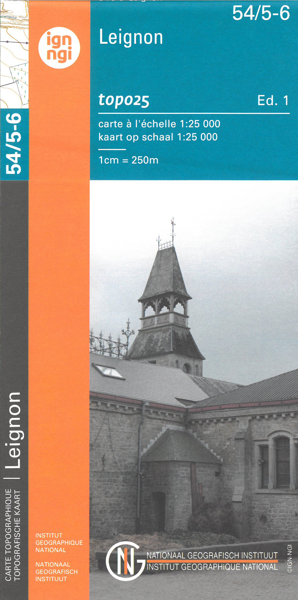
- Leignin NGI Topo 54/5-6
- Topographical survey of Belgium at 1:20,000 from Nationaal Geografisch Instituut / Institut Géographique National, the country’s national survey organization. Each 20K map covers one quarter of the corresponding 1:50,000 map (with adjustments in the border and coastal areas). The maps provide all the information expected of topographic mapping... Read more
De Zwerver
Netherlands
Netherlands
- Wandelkaart - Topografische kaart 50/7-8 Topo25 Bütgenbach - Büllingen,Bullange | NGI - Nationaal Geografisch Instituut
- Topographical survey of Belgium at 1:20,000 from Nationaal Geografisch Instituut / Institut Géographique National, the country’s national survey organization. Each 20K map covers one quarter of the corresponding 1:50,000 map (with adjustments in the border and coastal areas). The maps provide all the information expected of topographic mapping... Read more
- Also available from:
- Stanfords, United Kingdom

Stanfords
United Kingdom
United Kingdom
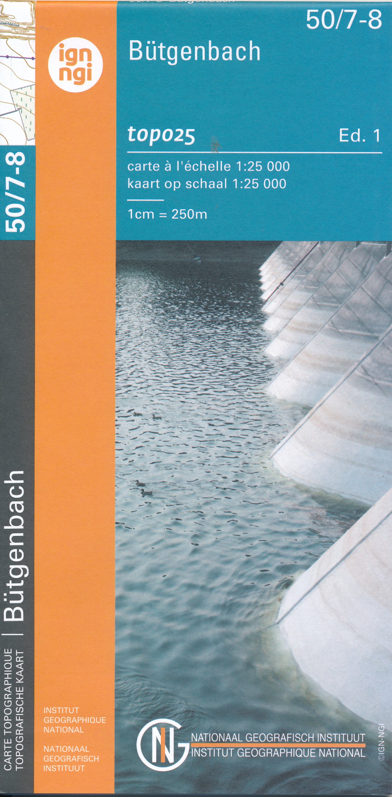
- Butgenbach NGI Topo 50/7-8
- Topographical survey of Belgium at 1:20,000 from Nationaal Geografisch Instituut / Institut Géographique National, the country’s national survey organization. Each 20K map covers one quarter of the corresponding 1:50,000 map (with adjustments in the border and coastal areas). The maps provide all the information expected of topographic mapping... Read more
De Zwerver
Netherlands
Netherlands
- Wandelkaart - Topografische kaart 17/5-6 Topo25 Meerhout - Balen - Olmen - Kwaadmechelen | NGI - Nationaal Geografisch Instituut
- Topographical survey of Belgium at 1:20,000 from Nationaal Geografisch Instituut / Institut Géographique National, the country’s national survey organization. Each 20K map covers one quarter of the corresponding 1:50,000 map (with adjustments in the border and coastal areas). The maps provide all the information expected of topographic mapping... Read more
- Also available from:
- Stanfords, United Kingdom

Stanfords
United Kingdom
United Kingdom
- Meerhout / Balen NGI Topo 17/5-6
- Topographical survey of Belgium at 1:20,000 from Nationaal Geografisch Instituut / Institut Géographique National, the country’s national survey organization. Each 20K map covers one quarter of the corresponding 1:50,000 map (with adjustments in the border and coastal areas). The maps provide all the information expected of topographic mapping... Read more
De Zwerver
Netherlands
Netherlands
- Also available from:
- Stanfords, United Kingdom

Stanfords
United Kingdom
United Kingdom
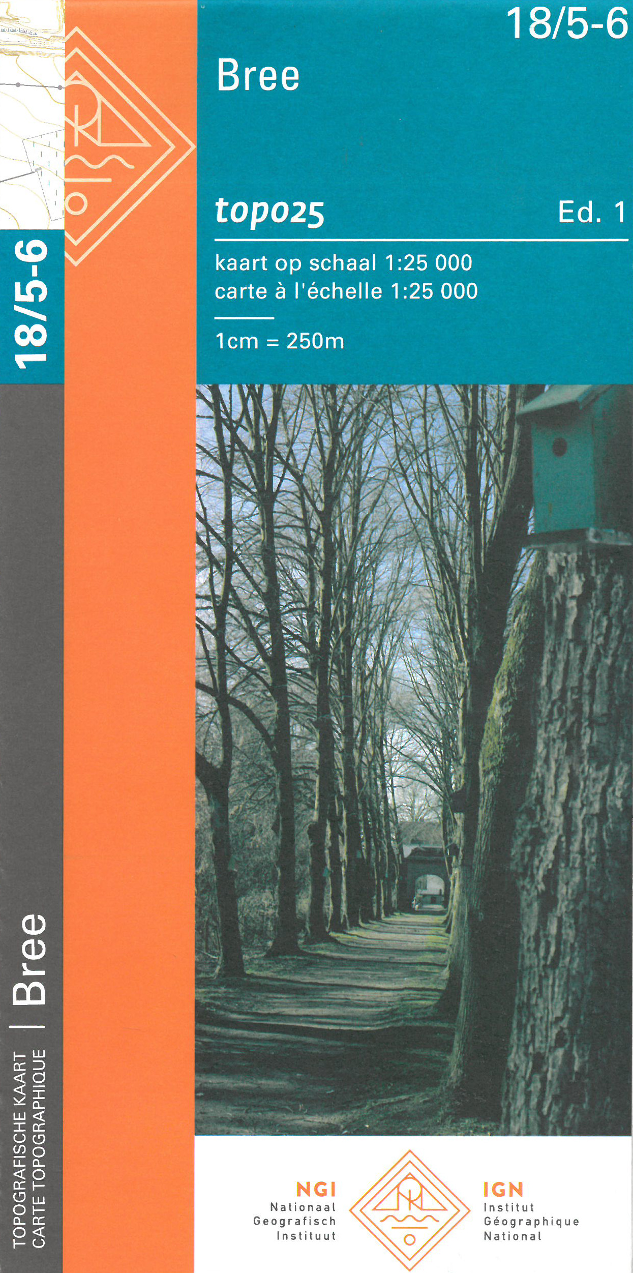
- Bree NGI Topo 18/5-6
- Topographical survey of Belgium at 1:20,000 from Nationaal Geografisch Instituut / Institut Géographique National, the country’s national survey organization. Each 20K map covers one quarter of the corresponding 1:50,000 map (with adjustments in the border and coastal areas). The maps provide all the information expected of topographic mapping... Read more
De Zwerver
Netherlands
Netherlands
- Also available from:
- Stanfords, United Kingdom

Stanfords
United Kingdom
United Kingdom
- Hoogstraten NGI Topo 08/1-2
- Topographical survey of Belgium at 1:20,000 from Nationaal Geografisch Instituut / Institut Géographique National, the country’s national survey organization. Each 20K map covers one quarter of the corresponding 1:50,000 map (with adjustments in the border and coastal areas). The maps provide all the information expected of topographic mapping... Read more
De Zwerver
Netherlands
Netherlands
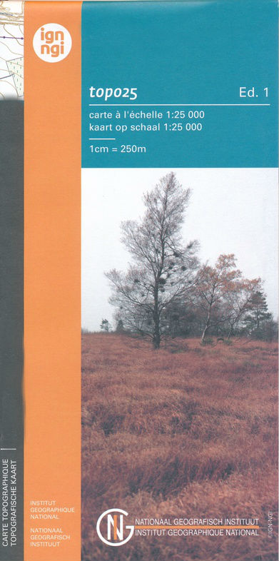
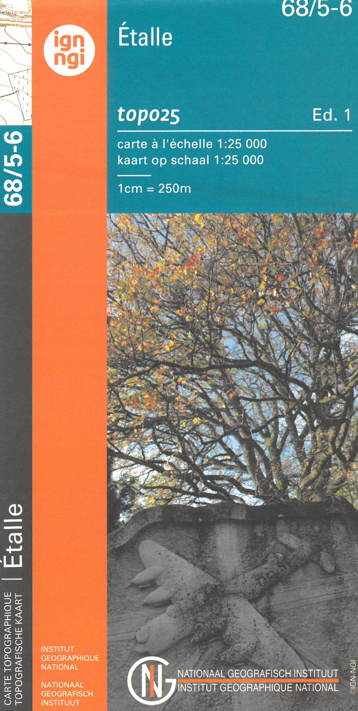
- Topografische kaart - Wandelkaart 68/5-6 Topo25 Étalle | NGI - Nationaal Geografisch Instituut
- Topographical survey of Belgium at 1:20,000 from Nationaal Geografisch Instituut / Institut Géographique National, the country’s national survey organization. Each 20K map covers one quarter of the corresponding 1:50,000 map (with adjustments in the border and coastal areas). The maps provide all the information expected of topographic mapping... Read more
- Also available from:
- Stanfords, United Kingdom

Stanfords
United Kingdom
United Kingdom
- Etalle NGI Topo 68/5-6
- Topographical survey of Belgium at 1:20,000 from Nationaal Geografisch Instituut / Institut Géographique National, the country’s national survey organization. Each 20K map covers one quarter of the corresponding 1:50,000 map (with adjustments in the border and coastal areas). The maps provide all the information expected of topographic mapping... Read more
De Zwerver
Netherlands
Netherlands
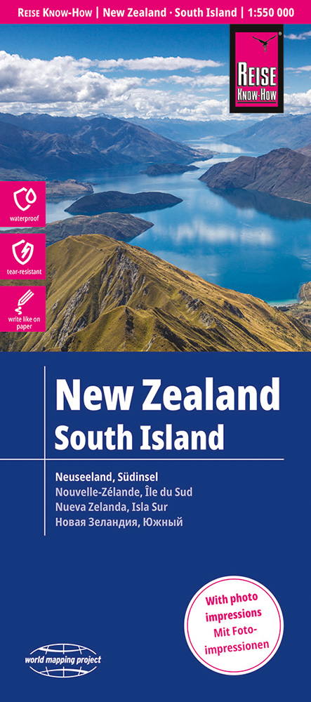
- Wegenkaart - landkaart Nieuw Zeeland - Zuidereiland, South Island | Reise Know-How Verlag
- Reise Know-How Landkarte Neuseeland, Südinsel 1:550.000 ab 9.95 EURO world mapping project World Mapping Project Reise Know-How. 1. Auflage Read more
De Zwerver
Netherlands
Netherlands
- Also available from:
- Stanfords, United Kingdom
Stanfords
United Kingdom
United Kingdom
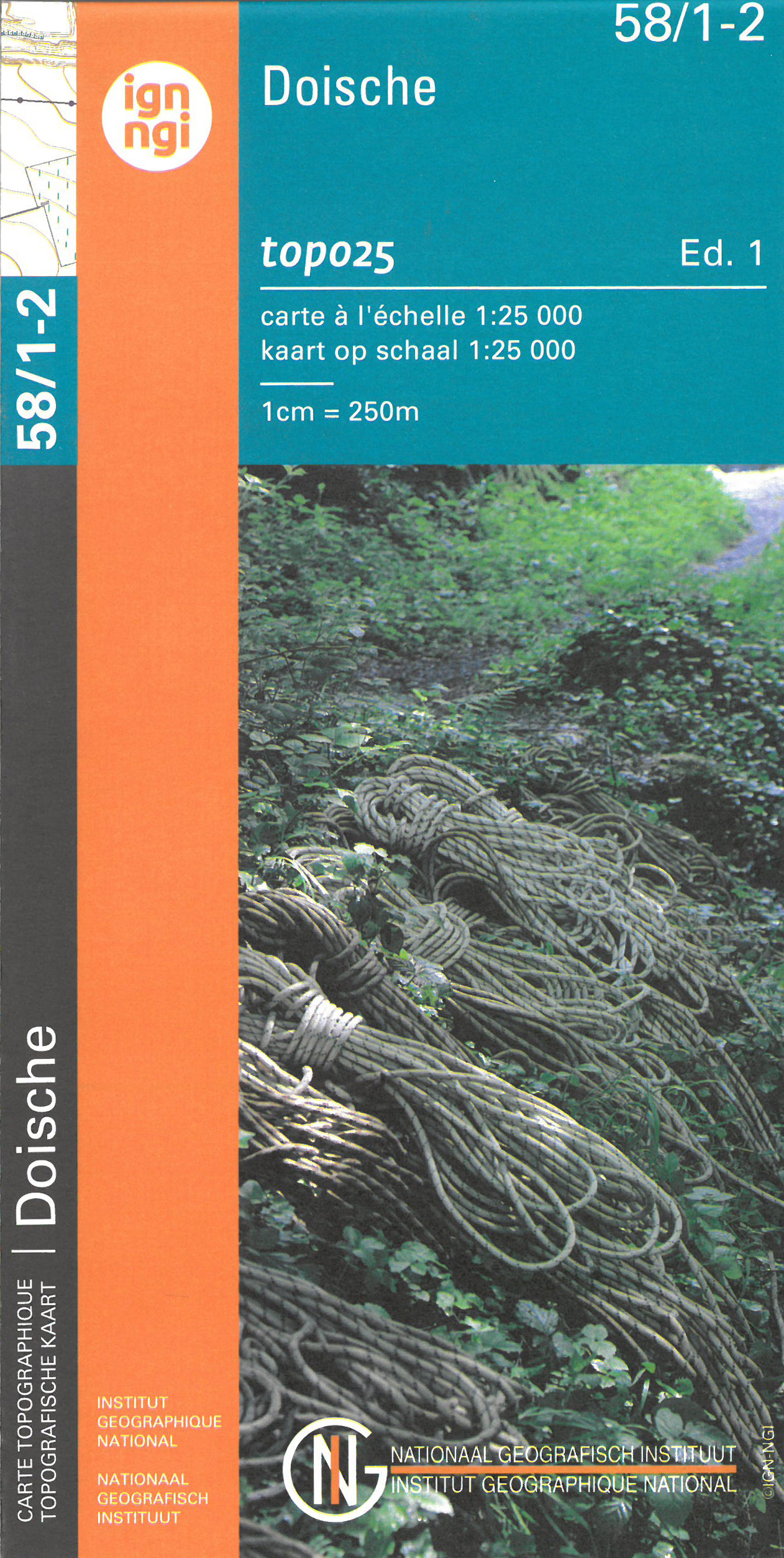
- Doische NGI Topo 58/1-2
- Topographical survey of Belgium at 1:20,000 from Nationaal Geografisch Instituut / Institut Géographique National, the country’s national survey organization. Each 20K map covers one quarter of the corresponding 1:50,000 map (with adjustments in the border and coastal areas). The maps provide all the information expected of topographic mapping... Read more
De Zwerver
Netherlands
Netherlands
- Also available from:
- Stanfords, United Kingdom

Stanfords
United Kingdom
United Kingdom
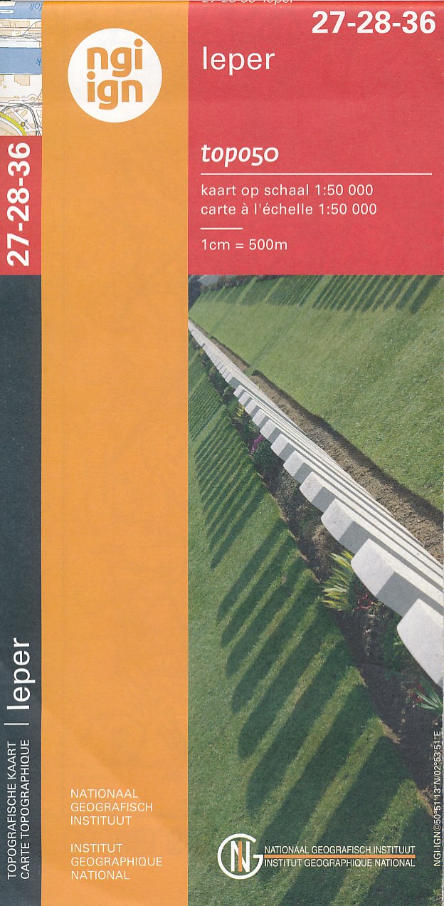
- Ieper NGI Topo 27-28-36 - WWI Ypres Salient Battlefields
- Ieper, map No. 27-28-36 in the topographic survey of Belgium at 1:50,000 covering the bulk of the Ypres Salient battleground of World War I. Coverage extends from the French border northwards to Passendale (Passchendaele) which is right at the top of the map, and includes Ploegstreet, Mesen (Messines), Zillebeke, Zonnebeke, Wijtschate... Read more
De Zwerver
Netherlands
Netherlands
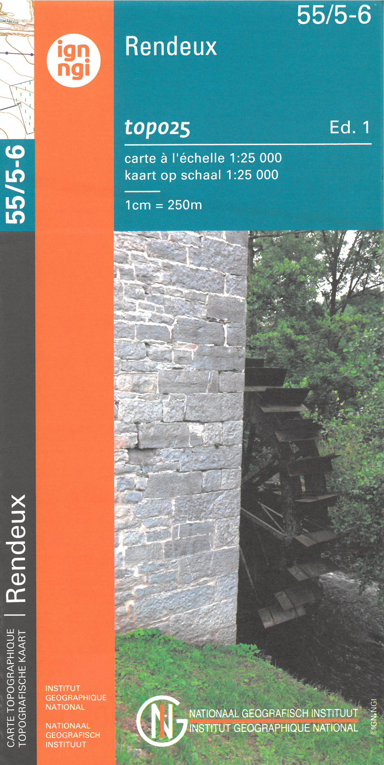
- Wandelkaart - Topografische kaart 55/5-6 Topo25 Rendeux | NGI - Nationaal Geografisch Instituut
- Zeer gedetailleerde topografische kaart van een deel van Belgie. Deze kaart is bijzonder geschikt voor wandeltochten, bijvoorbeeld in het heuvelachtige gebied van de Ardennen. Wel moet u bedenken dat op deze kaarten wandelroutes als zodanig niet staan ingetekend. Voorzien van alle topografische details als hoogtelijnen, waterlopen, bosgebieden,... Read more
- Also available from:
- Stanfords, United Kingdom

Stanfords
United Kingdom
United Kingdom
- Rendeux NGI Topo 55/5-6
- Topographical survey of Belgium at 1:20,000 from Nationaal Geografisch Instituut / Institut Géographique National, the country’s national survey organization. Each 20K map covers one quarter of the corresponding 1:50,000 map (with adjustments in the border and coastal areas). The maps provide all the information expected of topographic mapping... Read more
De Zwerver
Netherlands
Netherlands
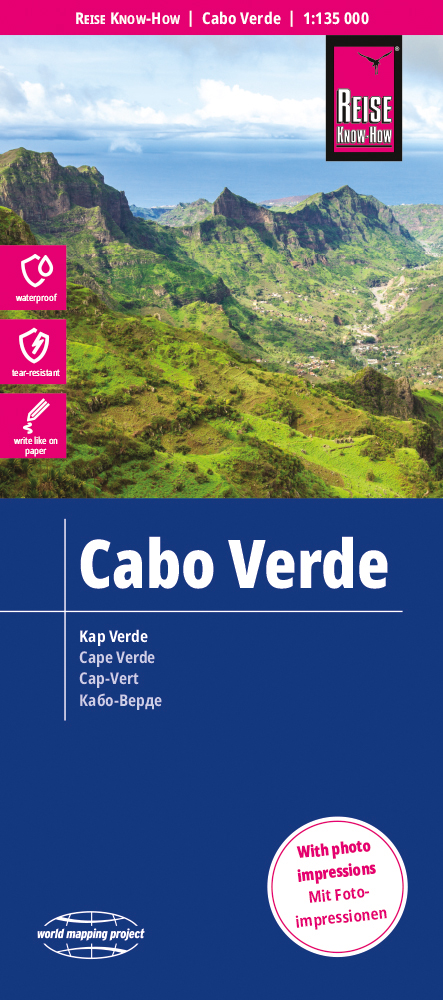
- Wegenkaart - landkaart Kaapverdische Eilanden - Cabo Verde | Reise Know-How Verlag
- Reise Know-How Landkarte Cabo Verde 1:135.000 ab 9.95 EURO Legende viersprachig World Mapping Project Reise Know-How. 4. Auflage Read more
De Zwerver
Netherlands
Netherlands
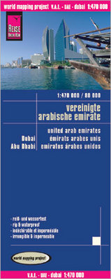
- Wegenkaart - landkaart Verenigde Arabische Emiraten, Dubai, Abu Dhabi | Reise Know-How Verlag
- United Arab Emirates at 1:470,000 on a double-sided, waterproof and tear-resistant road map with topographic and tourist information, plus a plan of Dubai City with an enlargement of its central area and a plan central Abu Dhabi City. The map is part of Reise Know-How’s highly acclaimed World Mapping Project.The main map at 1:470,000 covers... Read more
- Also available from:
- Stanfords, United Kingdom

Stanfords
United Kingdom
United Kingdom
- United Arab Emirates - Dubai - Abu Dhabi Reise Know-How
- United Arab Emirates at 1:470,000 on a double-sided, waterproof and tear-resistant road map with topographic and tourist information, plus a plan of Dubai City with an enlargement of its central area and a plan central Abu Dhabi City. The map is part of Reise Know-How’s highly acclaimed World Mapping Project.The main map at 1:470,000 covers... Read more