
New York
Beschreibung
New York state has quite a few long distance trails and some true wilderness expanses in the mountainous Adirondack Park, with its High Peaks Wilderness.
The Appalachian Trail runs for 94 miles through the state, not far from the city of New York. The North Country Trail has 520 miles in the state, starting in the Adirondack Park. The East Coast Greenway, Eastern Continental Trail and Great Eastern Trail all pass New York.
Interesting is the Finger Lakes Trail System in New York, 562 miles of hiking trails. The 133 mile Northville-Pacid trail (in the Adirondacks) is confined to this state. New Jersey and New York both have a part of the 326 mile Long Path. The Highlands Trail is under construction.
Karte

Wanderwege Landesteil
Links
Fakten
Berichte
Führer und Karten
Übernachtung
Organisationen
Reisebüros
GPS
Sonstiges
Bücher

The Book Depository
United Kingdom
United Kingdom
- North Shore Rescue
- If You Get Lost Today, Will Anyone Know? Read more

The Book Depository
United Kingdom
United Kingdom
- Minnesota State Parks
- How to Get There, What to Do, Where to Do It Read more

The Book Depository
United Kingdom
2019
United Kingdom
2019
- The Mourne Mountains
- The 30 best hikes, handpicked by a County Down local Read more
- Also available from:
- De Zwerver, Netherlands
- Stanfords, United Kingdom
De Zwerver
Netherlands
2019
Netherlands
2019
- Wandelgids The Mourne Mountains | Knife Edge Outdoor
- The 30 best hikes, handpicked by a County Down local Read more

Stanfords
United Kingdom
2019
United Kingdom
2019
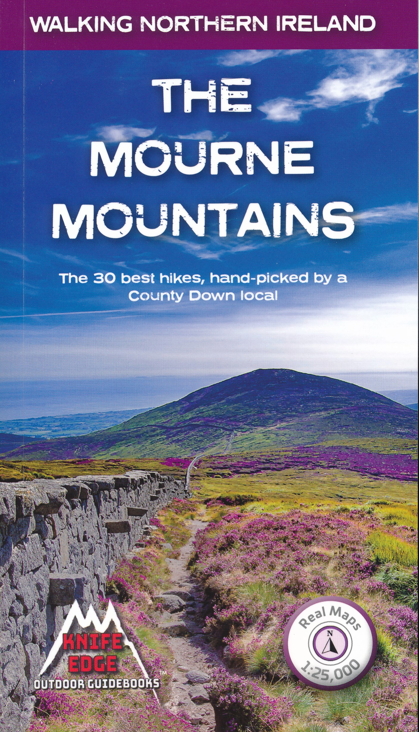
- The Mourne Mountains: The 30 best hikes, handpicked by a County Down local
- The only guidebook for the Mourne Mountains written by a County Down local hiker: 30 handpicked routes.The only guidebook for the Mourne Mountains with Real 1:25,000 Maps: this makes navigation easy and saves you money: no need to carry additional maps.Also includes:Game of Thrones film locationsNumbered waypoints linking maps to textQuick... Read more

The Book Depository
United Kingdom
United Kingdom

The Book Depository
United Kingdom
United Kingdom
- Grandma Gatewood's Walk
- The Inspiring Story of the Woman Who Saved the Appalachian Trail Read more


- Also available from:
- Stanfords, United Kingdom

Stanfords
United Kingdom
United Kingdom
- Guide To Wiltshire Pub Walks
- Discover the beauty of the Wiltshire countryside with this guide to some of the best walks in the area. There are 20 circular routes here, varying in length from 21/2 to 61/2 miles, all of which take in welcoming pubs renowned for their excellent food. Explore some of Britain`s most famous prehistoric remains such as the vast stone circles at... Read more

The Book Depository
United Kingdom
United Kingdom
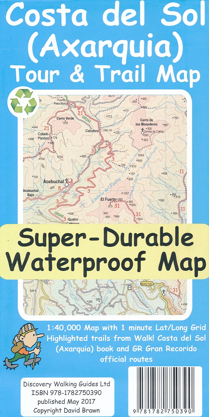
- Costa del Sol (Axarquia) Tour and Trail Map
- Costa del Sol (Axarquia) Tour & Trail Super-Durable Map comes with a 2 year adventurous use wear and tear guarantee against splitting or falling apart, see Discovery Walking Guides website for details. Our large 1:40,000 scale, combined with splitting the region into West and East sections with a generous overlap, produces double sided map... Read more
- Also available from:
- De Zwerver, Netherlands
De Zwerver
Netherlands
Netherlands
- Wandelkaart Tour & Trail Costa de Sol - Axarquia | Discovery Walking Guides
- Costa del Sol (Axarquia) Tour & Trail Super-Durable Map comes with a 2 year adventurous use wear and tear guarantee against splitting or falling apart, see Discovery Walking Guides website for details. Our large 1:40,000 scale, combined with splitting the region into West and East sections with a generous overlap, produces double sided map... Read more

The Book Depository
United Kingdom
United Kingdom
- The Municipal Art Society of New York
- 10 Architectural Walks in Manhattan Read more

The Book Depository
United Kingdom
United Kingdom
- Hiking the Appalachian Trail and the Northville-Placid Trail
- Opa's Long-Distance Hiking Adventures Read more

The Book Depository
United Kingdom
2019
United Kingdom
2019
- Moon Drive & Hike Appalachian Trail (First Edition)
- The Best Trail Towns, Day Hikes, and Road Trips In Between Read more

- Also available from:
- Stanfords, United Kingdom

Stanfords
United Kingdom
United Kingdom
- The Last Wilderness: A Journey into Silence
- Neil Ansell`s `The Last Wilderness` is a mesmerising book on nature and solitude by a writer who has spent his lifetime taking solitary ventures into the wild. For any readers of the author`s previous book, `Deep Country`, Robert Macfarlane`s `The Old Ways` or William Atkins` `The Moor`.`A gem of a book, an extraordinary tale. Ansell`s rich... Read more

The Book Depository
United Kingdom
United Kingdom
- 60 Hikes Within 60 Miles: New York City
- Including Northern New Jersey, Southwestern Connecticut, and Western Long Island Read more
Karten

- Also available from:
- Stanfords, United Kingdom

Stanfords
United Kingdom
United Kingdom
- Shawangunk Mountains NY NGS Trails Illustrated Map 750
- Map No. 750, Shawangunk Mountains in New York State at 1:50,000, part of an extensive series of GPS compatible, contoured hiking maps of USA’s national and state parks or forests and other popular recreational areas. Cartography, based on the national topographic survey, has extensive additional tourist information.The maps, printed on light,... Read more

- Also available from:
- De Zwerver, Netherlands
- Stanfords, United Kingdom


Stanfords
United Kingdom
United Kingdom
- Glocknergruppe - Matrei - Kals - Heiligenblut Tabacco 076
- This Tabacco topographic map at 1:25,000 (1cm = 250m) covers the Alta Via routes, as well as the Via Ferrata where you get further than the ordinary walker with the help of steel ladders. Additional information includes: symbols to indicate 6 different types of accommodation from mountain hut, hotel to camping site. As well as information on... Read more

The Book Depository
United Kingdom
2018
United Kingdom
2018
- Ben Nevis and Glen Coe
- Waterproof mountain map of Ben Nevis & Glen Coe from Harvey at 1:40,000, with a geological map of the region on the reverse, an enlargement of Ben Nevis' summit, and advice on navigating the region safely.MAIN MAP: Topography is shown through clear altitude shading, spot heights, contours at 15m intervals, and index contours at 75m intervals. A... Read more
- Also available from:
- De Zwerver, Netherlands
- Stanfords, United Kingdom

De Zwerver
Netherlands
2018
Netherlands
2018
- Wandelkaart Ben Nevis & Glen Coe | Harvey Maps
- Waterproof mountain map of Ben Nevis & Glen Coe from Harvey at 1:40,000, with a geological map of the region on the reverse, an enlargement of Ben Nevis' summit, and advice on navigating the region safely.MAIN MAP: Topography is shown through clear altitude shading, spot heights, contours at 15m intervals, and index contours at 75m intervals. A... Read more

Stanfords
United Kingdom
2018
United Kingdom
2018
- Ben Nevis & Glen Coe Harvey British Mountain Map XT40
- Waterproof mountain map of Ben Nevis & Glen Coe from Harvey at 1:40,000, with a geological map of the region on the reverse, an enlargement of Ben Nevis` summit, and advice on navigating the region safely.*MAIN MAP:* Topography is shown through clear altitude shading, spot heights, contours at 15m intervals, and index contours at 75m intervals.... Read more

De Zwerver
Netherlands
2019
Netherlands
2019
- Reisgids Iceland Road Guide | Vegahandbokin
- Iceland Road Guide from Vegahandbókin, an exceptionally comprehensive, 605-page guide with region-by-region descriptions of sites accompanied by road maps and street plans, plus a separate road atlas section covering the whole country at 1:500,000 and information on a wide variety of tourism relating topics to help the user get the best of... Read more
- Also available from:
- Stanfords, United Kingdom

Stanfords
United Kingdom
2019
United Kingdom
2019
- Iceland Road Guide
- Iceland Road Guide from Vegahandbókin, an exceptionally comprehensive, 605-page guide with region-by-region descriptions of sites accompanied by road maps and street plans, plus a separate road atlas section covering the whole country at 1:500,000 and information on a wide variety of tourism relating topics to help the user get the best of... Read more
De Zwerver
Netherlands
Netherlands
- Wegenkaart - landkaart New England and New York State | ITMB
- New York State & New England ab 10.49 EURO Landkarte, doppelseitig Plan New York City, Boston, Boston Region International Travel Map ITM. 1. Auflage Read more
De Zwerver
Netherlands
Netherlands
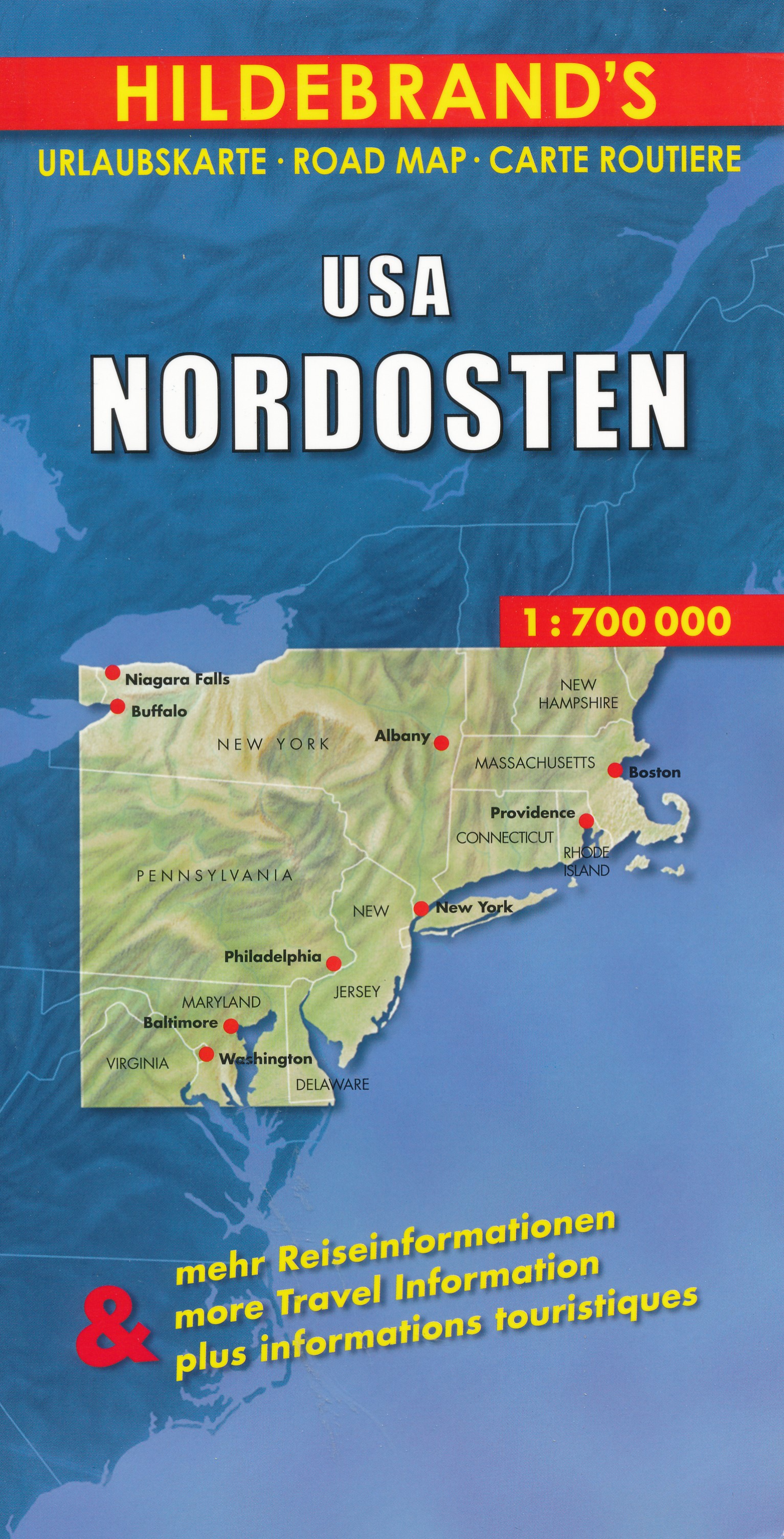
- Wegenkaart - landkaart USA Northeast - USA Noordoost | Hildebrand's
- USA Nordosten 1 : 700 000. Hildebrand´s Urlaubskarte ab 7.95 EURO Umgebungskarten: Boston, New York, Washington - Baltimore. Stadtpläne: Boston, New York/Manhattan, Philadelphia, Baltimore, Washington, Buffalo, Niagara Falls, Pittsburgh. Ortsregister Hildebrand´s Urlaubskarte. Neuauflage, Laufzeit bis 2016 Read more
De Zwerver
Netherlands
Netherlands
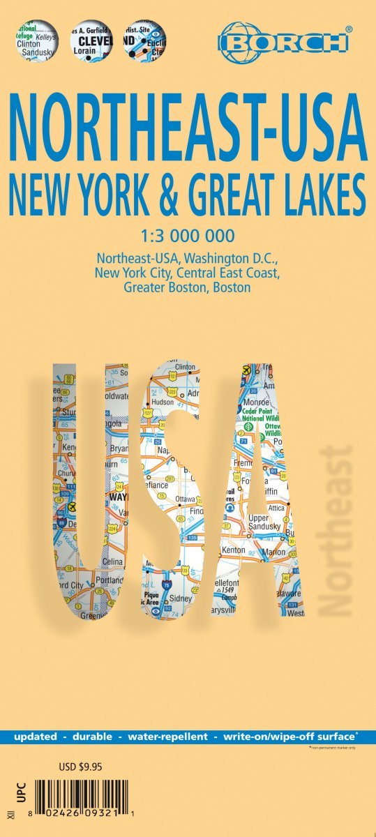
- Wegenkaart - landkaart Noordoost USA - Northeast USA | Borch
- Northeast-USA 5. New York & the Great Lakes 1 : 3 000 000 + City Maps ab 9.9 EURO Washington DC, New York City, Central East Coast, Greater Boston, Boston Borch Map. 13. Auflage Read more

Stanfords
United Kingdom
United Kingdom
- Khiratadi (114) (2980 08)
- Khiratadi, sheet no. 2980-08, in the topographic survey of Nepal at 1:50,000 published by the Nepali Government in the late 1990s and early 2000s and produced from remote sensing data by Finnish cartographers as part of that country’s international aid program. The maps cover 15’ x 15’ quadrangles.IMPORTANT – PLEASE NOTE BEFORE ORDERING:... Read more

Stanfords
United Kingdom
United Kingdom
- World Maps International Political Wall Map MEDIUM MAGNETIC-BOARD FRAMED without flags
- Smaller version of the framed and mounted on magnetic board, medium size political map of the world from Maps International, with its size reduced to 103 x 62cm (3ft 4’’ x 2ft approx.) by removing the decorative panel of flags under the map. Countries are shown in bright vivid colours against light blue oceans. Country names are in large,... Read more
Stanfords
United Kingdom
United Kingdom
- Nanikot
- Nanikot, sheet no. 2981-11, in the topographic survey of Nepal at 1:50,000 published by the Nepali Government in the late 1990s and early 2000s and produced from remote sensing data by Finnish cartographers as part of that country’s international aid program. The maps cover 15’ x 15’ quadrangles.IMPORTANT – PLEASE NOTE BEFORE ORDERING:... Read more
Stanfords
United Kingdom
United Kingdom
- Kimathanka
- Kimathanka, sheet no. 2787-02, in the topographic survey of Nepal at 1:50,000 published by the Nepali Government in the late 1990s and early 2000s and produced from remote sensing data by Finnish cartographers as part of that country’s international aid program. The maps cover 15’ x 15’ quadrangles.IMPORTANT – PLEASE NOTE BEFORE ORDERING:... Read more
Stanfords
United Kingdom
United Kingdom
- Simi
- Simi, sheet no. 2884-11, in the topographic survey of Nepal at 1:50,000 published by the Nepali Government in the late 1990s and early 2000s and produced from remote sensing data by Finnish cartographers as part of that country’s international aid program. The maps cover 15’ x 15’ quadrangles.IMPORTANT – PLEASE NOTE BEFORE ORDERING:... Read more
Stanfords
United Kingdom
United Kingdom
- Damodar Himal
- Damodar Himal, sheet no. 2884-01, in the topographic survey of Nepal at 1:50,000 published by the Nepali Government in the late 1990s and early 2000s and produced from remote sensing data by Finnish cartographers as part of that country’s international aid program. The maps cover 15’ x 15’ quadrangles.IMPORTANT – PLEASE NOTE BEFORE ORDERING:... Read more
Stanfords
United Kingdom
United Kingdom
- Tilicho
- Tilicho, sheet no. 2883-08, in the topographic survey of Nepal at 1:50,000 published by the Nepali Government in the late 1990s and early 2000s and produced from remote sensing data by Finnish cartographers as part of that country’s international aid program. The maps cover 15’ x 15’ quadrangles.IMPORTANT – PLEASE NOTE BEFORE ORDERING:... Read more