
Berner Oberland
Beschreibung
Karte

Wanderwege Region
Links
Fakten
Berichte
Führer und Karten
Übernachtung
Organisationen
Reisebüros
GPS
Sonstiges
Bücher

The Book Depository
United Kingdom
2023
United Kingdom
2023
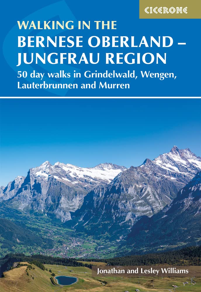
- Walking in the Bernese Oberland - Jungfrau region
- 50 day walks in Grindelwald, Wengen, Lauterbrunnen and Murren Read more
- Also available from:
- De Zwerver, Netherlands
De Zwerver
Netherlands
2023
Netherlands
2023
- Wandelgids Walking in the Bernese Oberland | Cicerone
- 50 day walks in Grindelwald, Wengen, Lauterbrunnen and Murren Read more

- Also available from:
- De Zwerver, Netherlands

The Book Depository
United Kingdom
United Kingdom
- Best Hiking in Switzerland in the Valais, Bernese Alps, the Engadine and Davos
- Over 100 Hikes in the Spectacular Swiss Alps Read more

The Book Depository
United Kingdom
2018
United Kingdom
2018
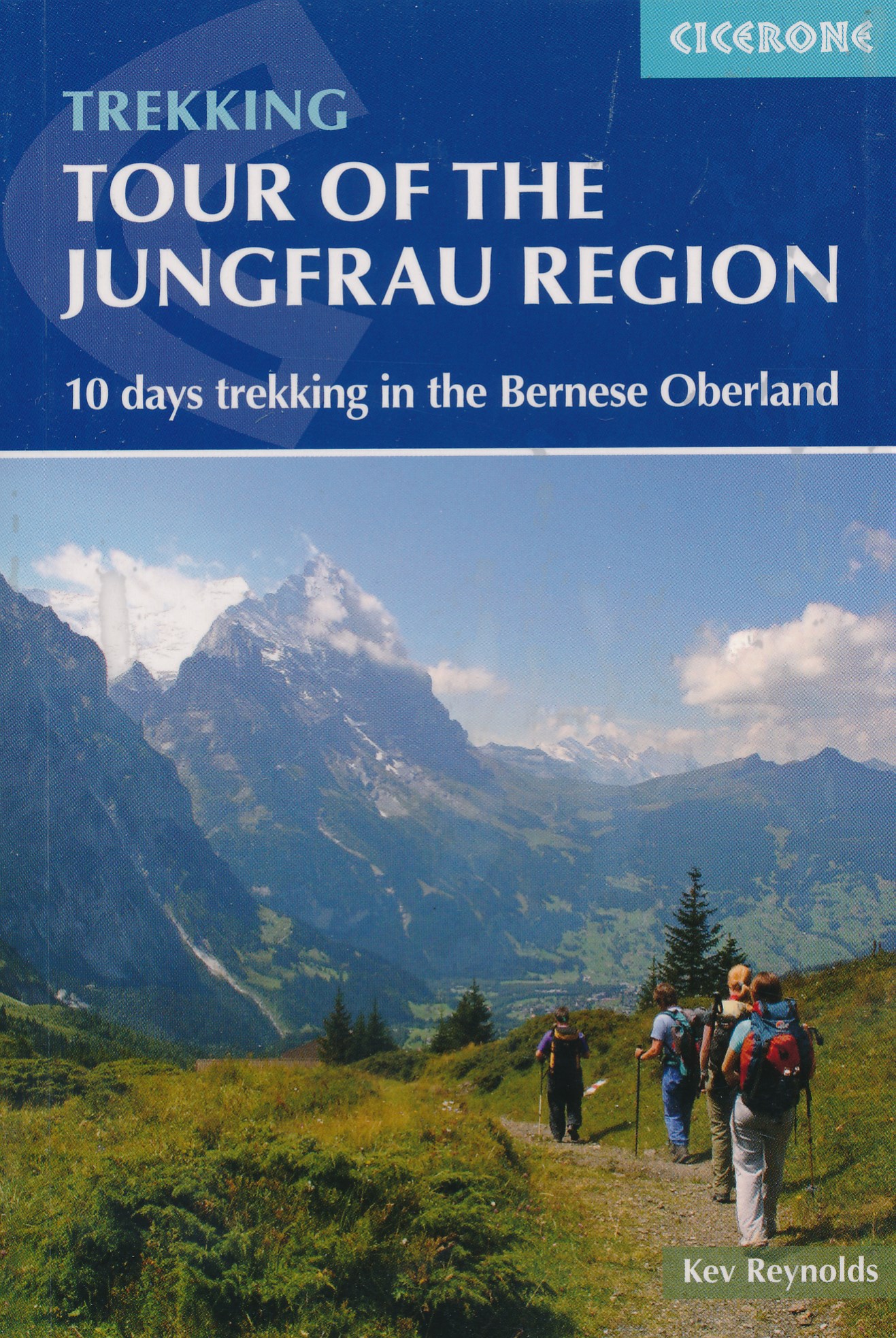
- Tour of the Jungfrau Region
- 10 days trekking in the Bernese Oberland Read more
- Also available from:
- De Zwerver, Netherlands
De Zwerver
Netherlands
2018
Netherlands
2018
- Wandelgids Tour of the Jungfrau Region - Berner Oberland | Cicerone
- The Tour of the Jungfrau Region is described as a clockwise circuit of 111km beginning at Schynige Platte and ending at Wilderswil. It is broken into 10 stages (with alternatives offered), through the Bernese Oberland under the Mönch, Eiger and Jungfrau. With spectacular mountain views, glaciers, lakes and ridges, it is a classic walk. Read more
The Book Depository
United Kingdom
United Kingdom
- Bernese Alps Western Touring Route
- Route Guide to the Long Distance Alpine Walk Read more
De Zwerver
Netherlands
2021
Netherlands
2021
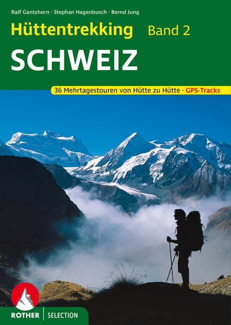
- Wandelgids Hüttentrekking Schweiz - Zwitserland Band 2 | Rother Bergverlag
- Absolute aanrader als het gaat om meerdaagse tochten van hut naar hut in Zwitserland. Gedegen Duitstalig boek! Die Schweiz gilt als Inbegriff einer schönen Landschaft. Nicht zufällig werden weltweit die unterschiedlichsten Regionen mit dem Beinamen der kleinen Alpenrepublik versehen und stets ist ein besonders reizvolles Fleckchen unserer Erde... Read more

De Zwerver
Netherlands
2021
Netherlands
2021
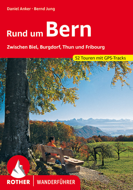
- Wandelgids Rund um Bern | Rother Bergverlag
- Uitstekende wandelgids met een groot aantal dagtochten in dal en hooggebergte. Met praktische informatie en beperkt kaartmateriaal! Wandelingen in verschillende zwaarte weergegeven in rood/blauw/zwart. B50 Höhenprofile, 50 Wanderkärtchen im Maßstab 1:25.000, 1:50.000, 1:75.000 und 1:100.000, zwei Übersichtskarten im Maßstab 1:350.000 und... Read more
De Zwerver
Netherlands
2022
Netherlands
2022
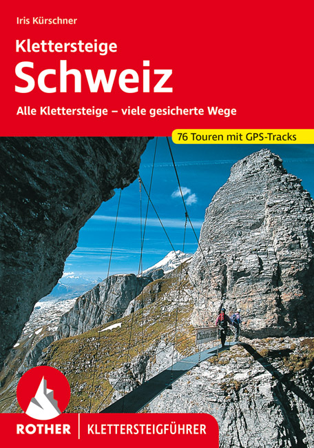
- Klimgids - Klettersteiggids Klettersteige Schweiz | Rother Bergverlag
- Alle 42 Klettersteige sowie die 24 schönsten gesicherten Wege, darunter eine 5-Tages-Tour Rother Wanderführer. 4., erweiterte und aktualisierte Auflage. Read more
De Zwerver
Netherlands
2017
Netherlands
2017
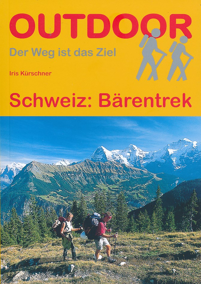
- Wandelgids Bärentrek - Zwitserland | Conrad Stein Verlag
- Kleine wandelgids met veel praktische informatie. Kaartmateriaal is erg beperkt. Im Berner Oberland drängt sich auf engstem Raum eine der berühmtesten Bergwelten zusammen, darunter das viel bestaunte Gipfeltrio von Eiger, Mönch & Jungfrau. Allein im östlichen Teil der Berner Alpen recken 8 der insgesamt 47 Schweizer Viertausender ihre... Read more
De Zwerver
Netherlands
2018
Netherlands
2018
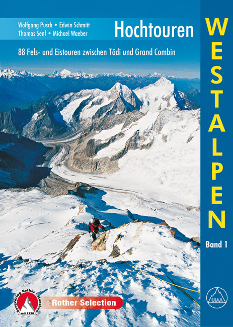
- Klimgids - Klettersteiggids Hochtouren Westalpen | Rother Bergverlag
- 88 Fels- und Eistouren zwischen Tödi und Grand Combin Rother Selection. 4., aktualisierte Auflage. Read more
- Also available from:
- Stanfords, United Kingdom

Stanfords
United Kingdom
2019
United Kingdom
2019
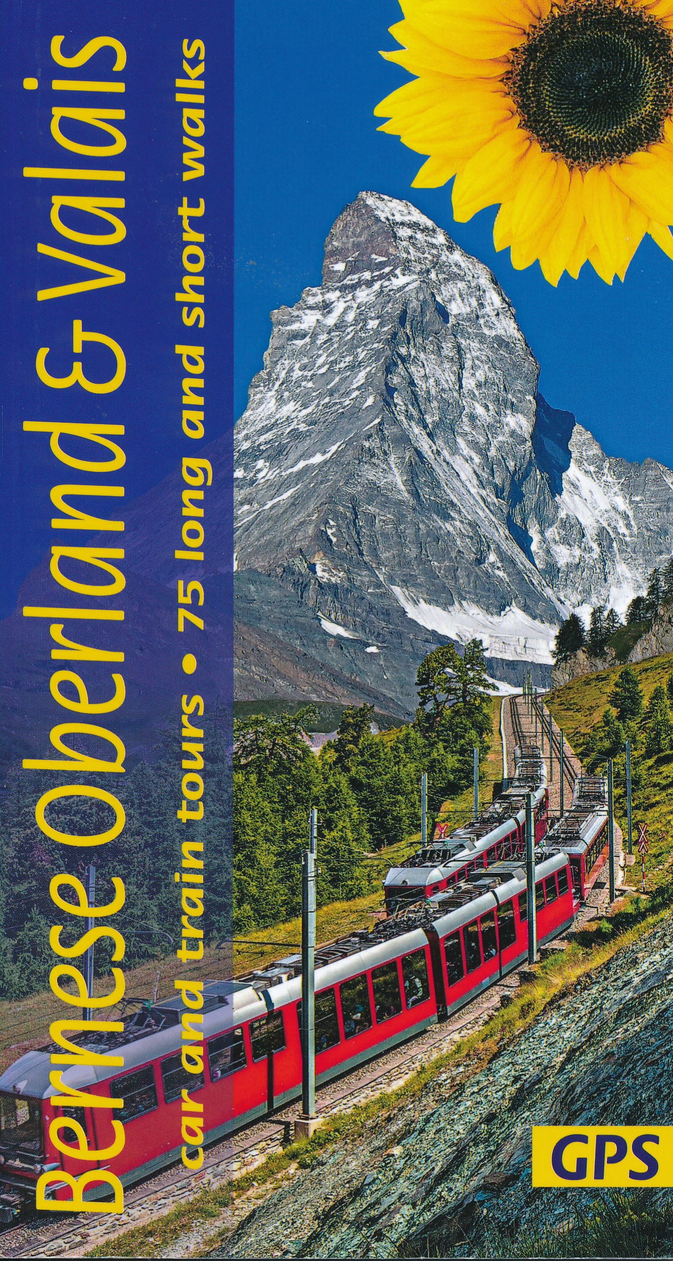
- Bernese Overland and Valais Sunflower Landscape Guide
- The go-to Bernese Oberland travel guide for discovering the best walks and car tours. Strap on your boots and discover Bernese Oberland on foot with the Sunflower Bernese Oberland travel guide. And on the days when your feet may have had enough, enjoy some spectacular scenery on one of our legendary car tours or train tours. The Sunflower... Read more
Weitere Bücher…

Karten

The Book Depository
United Kingdom
United Kingdom
- Dachstein - Ausseerland - Filzmoos - Ramsau Hiking + Leisure Map 1:50 000
- Dachstein - Ausseer Land - Filzmoos - Ramsau - Bad Ischl - Schladming area of the Austrian Alps presented at 1:50,000 in a series of contoured and GPS compatible outdoor leisure map from Freytag & Berndt with hiking and cycling routes, mountain huts, campsites and youth hostels, local bus stops, plus other tourist information. To see the list... Read more
- Also available from:
- Stanfords, United Kingdom

Stanfords
United Kingdom
United Kingdom
- Dachstein - Ausseerland - Filzmoos - Ramsau F&B WK281
- Dachstein - Ausseer Land - Filzmoos - Ramsau - Bad Ischl - Schladming area of the Austrian Alps presented at 1:50,000 in a series of contoured and GPS compatible outdoor leisure map from Freytag & Berndt with hiking and cycling routes, mountain huts, campsites and youth hostels, local bus stops, plus other tourist information. To see the list... Read more

The Book Depository
United Kingdom
United Kingdom
- Also available from:
- Stanfords, United Kingdom

Stanfords
United Kingdom
United Kingdom
- Carinthian Alps - Gailtal - Gitschtal - Nassfeld - Lesachtal - Weissensee - Upper Drautal F&B WK223
- Naturarena Kärnten - Gailtal - Gitschtal -Lesachtal - Weissensee - Oberes Drautal area of Carinthia presented at 1:50,000 in a series of contoured and GPS compatible outdoor leisure map from Freytag & Berndt with hiking and cycling routes, mountain huts, campsites and youth hostels, local bus stops, plus other tourist information.To see the... Read more

The Book Depository
United Kingdom
United Kingdom
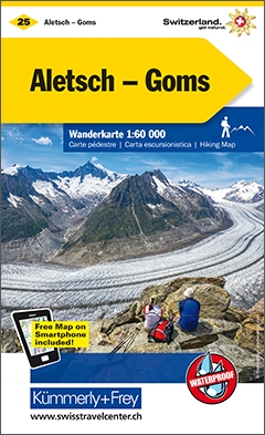
- Jungfrau Region / Grindelwald 4
- 33 specially selected hiking trails in the Jugfrau Region of the Bernese Oberland presented at 1:50,000 on a waterproof and tear-resistant, contoured and GPS compatible map from the Hallwag/Kümmerly + Frey group, with route profiles, grading for the severity of the terrain and the degree of fitness required, etc. The map is centered on... Read more
- Also available from:
- Stanfords, United Kingdom
Stanfords
United Kingdom
United Kingdom
- Jungfrau Region - Grindelwald K+F Hiking 4
- 33 specially selected hiking trails in the Jugfrau Region of the Bernese Oberland presented at 1:50,000 on a waterproof and tear-resistant, contoured and GPS compatible map from the Hallwag/Kümmerly + Frey group, with route profiles, grading for the severity of the terrain and the degree of fitness required, etc. The map is centered on... Read more
De Zwerver
Netherlands
Netherlands
- Wandelkaart - Topografische kaart 5026 Jura Bernois - Seeland | Swisstopo
- Bernese Jura and Lakes, map No. 5026, in the standard topographic survey of Switzerland at 1:50,000 from Swisstopo, i.e. without the special overprint highlighting walking trails, local bus stops, etc, presented in Swisstopo Read more
- Also available from:
- Stanfords, United Kingdom

Stanfords
United Kingdom
United Kingdom
- Bernese Jura and Lakes Swisstopo 5026
- Bernese Jura and Lakes, map No. 5026, in the standard topographic survey of Switzerland at 1:50,000 from Swisstopo, i.e. without the special overprint highlighting walking trails, local bus stops, etc, presented in Swisstopo’s hiking editions of the 50K survey. Highly regarded for their superb use of graphic relief and hill shading, the maps... Read more
De Zwerver
Netherlands
Netherlands
- Fietskaart - Topografische kaart - Wegenkaart - landkaart 41 Col du Pillon | Swisstopo
- Map No. 41, Col du Pillon, in the Swiss topographic survey at 1:100,000 published in 23 standard sheets (Nos. 26 - 48), with special larger maps centred on popular tourist destinations (Nos. 101 - 111). Swiss survey maps are highly regarded for their superb use of graphic relief and hill shading, presenting an almost 3-D picture of the... Read more
- Also available from:
- Stanfords, United Kingdom

Stanfords
United Kingdom
United Kingdom
- Col du Pillon Swisstopo 41
- Swiss topographic survey at 1:100,000 from Swisstopo, highly regarded for it superb use of graphic relief and hill shading, presenting an almost 3-D picture of the country`s mountainous terrain. Coverage is available either as small size standard sheets – Nos 26 to 48, each covering 70 x 48 km / 43 x 30 miles approx, or as larger size maps -... Read more
De Zwerver
Netherlands
Netherlands
- Wandelkaart 255T Sustenpass | Swisstopo
- Sustenpass area, map No. 255T, at 1:50,000 in a special hiking edition of the country Read more
- Also available from:
- Stanfords, United Kingdom

Stanfords
United Kingdom
United Kingdom
- Sustenpass Swisstopo Hiking 255T
- Sustenpass area, map No. 255T, at 1:50,000 in a special hiking edition of the country’s topographic survey, published by Swisstopo in cooperation with the Swiss Hiking Federation. Cartography, identical to the standard version of the survey, is highly regarded for its superb use of graphic relief and hill shading to provide an almost 3-D... Read more

- Also available from:
- Stanfords, United Kingdom

Stanfords
United Kingdom
2019
United Kingdom
2019
- Langhe Meridionali IGC 18
- The southern part of the Langhe region of Piedmont, famous for its wines, cheeses, and truffles, in a series contoured hiking maps at 1:50,000 with local trails, long-distance footpaths, mountain accommodation, etc. from the Turin based Istituto Geografico Centrale.Maps in this series have contours at 50m intervals, enhanced by shading and... Read more
De Zwerver
Netherlands
Netherlands
- Wandelkaart - Topografische kaart 1266 Lenk | Swisstopo
- Map No. 1266, Lenk, in the topographic survey of Switzerland at 1:25,000 from Bundesamt f Read more
- Also available from:
- Stanfords, United Kingdom

Stanfords
United Kingdom
United Kingdom
- Lenk - Gsteig - Lauenen - Iffigenalp Swisstopo 1266
- Map No. 1266, Lenk, in the topographic survey of Switzerland at 1:25,000 from Bundesamt für Landestopographie (swisstopo), covering the whole country on 247 small format sheets, with special larger maps published for popular regions including some titles now available in hiking versions.Highly regarded for their superb use of graphic relief and... Read more
De Zwerver
Netherlands
Netherlands
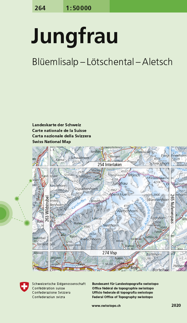
- Wandelkaart - Topografische kaart 264 Jungfrau | Swisstopo
- Jungfrau, map No. 264, in the standard topographic survey of Switzerland at 1:50,000 from Swisstopo, i.e. without the special overprint highlighting walking trails, local bus stops, etc, presented in Swisstopo Read more
- Also available from:
- Stanfords, United Kingdom

Stanfords
United Kingdom
United Kingdom
- Jungfrau Swisstopo 264
- Jungfrau, map No. 264, in the standard topographic survey of Switzerland at 1:50,000 from Swisstopo, i.e. without the special overprint highlighting walking trails, local bus stops, etc, presented in Swisstopo’s hiking editions of the 50K survey. With the resort of Mürren at the top of the map, coverage includes the peaks of Mönch and Jungfrau... Read more
De Zwerver
Netherlands
Netherlands
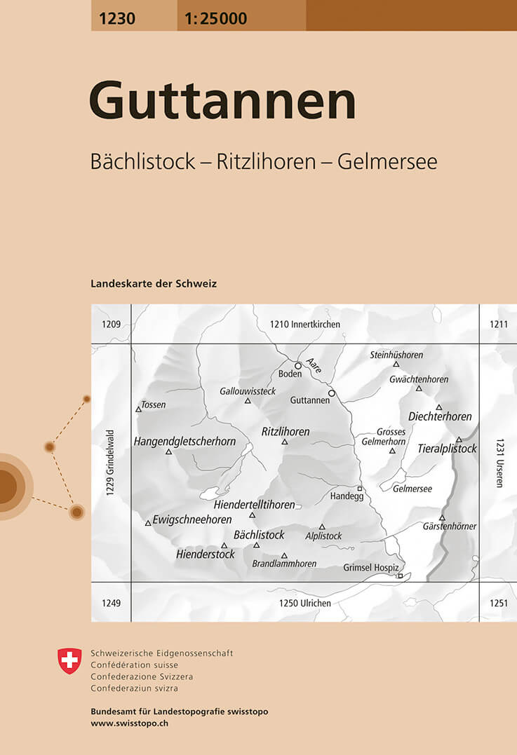
- Wandelkaart - Topografische kaart 1230 Guttannen | Swisstopo
- Map No. 1230, Guttannen, in the topographic survey of Switzerland at 1:25,000 from Bundesamt f Read more
- Also available from:
- Stanfords, United Kingdom

Stanfords
United Kingdom
United Kingdom
- Guttannen Swisstopo 1230
- Map No. 1230, Guttannen, in the topographic survey of Switzerland at 1:25,000 from Bundesamt für Landestopographie (swisstopo), covering the whole country on 247 small format sheets, with special larger maps published for popular regions including some titles now available in hiking versions.Highly regarded for their superb use of graphic... Read more
De Zwerver
Netherlands
Netherlands
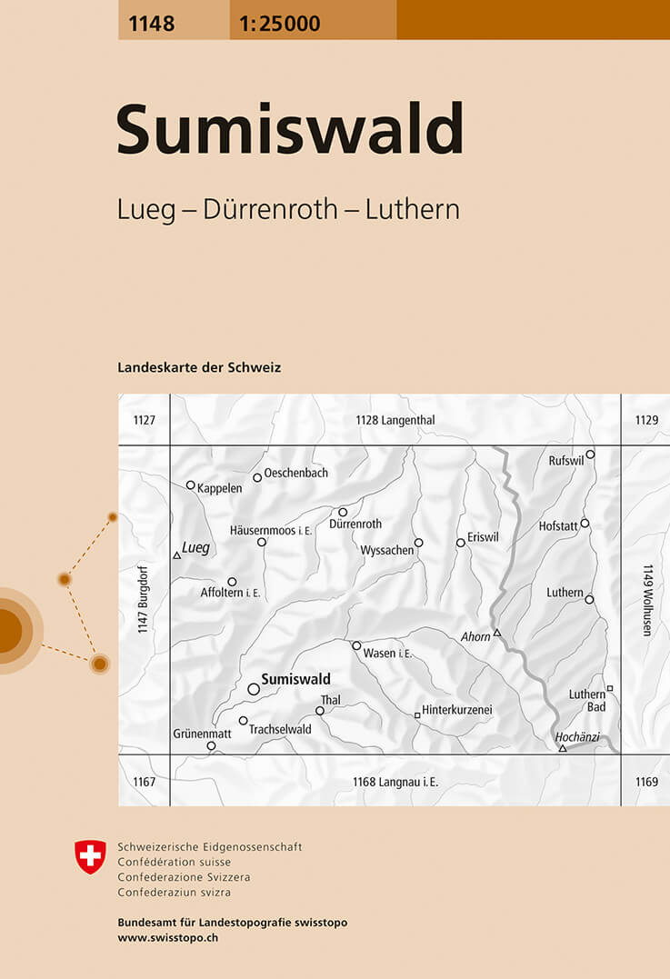
- Wandelkaart - Topografische kaart 1148 Sumiswald | Swisstopo
- Map No. 1148, Sumiswald, in the topographic survey of Switzerland at 1:25,000 from Bundesamt f Read more
- Also available from:
- Stanfords, United Kingdom

Stanfords
United Kingdom
United Kingdom
- Sumiswald Swisstopo 1148
- Map No. 1148, Sumiswald, in the topographic survey of Switzerland at 1:25,000 from Bundesamt für Landestopographie (swisstopo), covering the whole country on 247 small format sheets, with special larger maps published for popular regions including some titles now available in hiking versions.Highly regarded for their superb use of graphic... Read more
De Zwerver
Netherlands
2024
Netherlands
2024
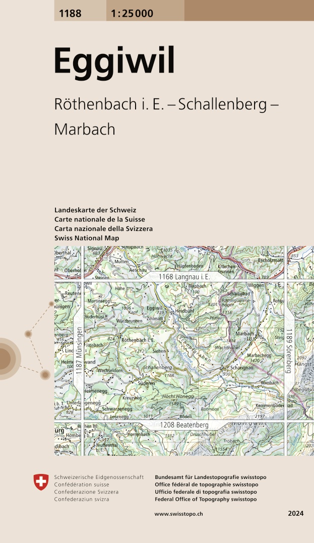
- Wandelkaart - Topografische kaart 1188 Eggiwil | Swisstopo
- Map No. 1188, Eggiwil, in the topographic survey of Switzerland at 1:25,000 from Bundesamt f Read more
- Also available from:
- Stanfords, United Kingdom

Stanfords
United Kingdom
2024
United Kingdom
2024
- Eggiwil Swisstopo 1188
- Map No. 1188, Eggiwil, in the topographic survey of Switzerland at 1:25,000 from Bundesamt für Landestopographie (swisstopo), covering the whole country on 247 small format sheets, with special larger maps published for popular regions including some titles now available in hiking versions.Highly regarded for their superb use of graphic relief... Read more

De Zwerver
Netherlands
2013
Netherlands
2013
- Wandelkaart 04 Massiccio del Monte Bianco | IGC - Istituto Geografico Centrale
- The Mont Blanc Massif in a series contoured hiking maps at 1:50,000 with local trails, long-distance footpaths, mountain accommodation, etc, from the Turin based Istituto Geografico Centrale. This new edition published in late 2013 highlights, among other routes, the Alta Via 1 and the northern section of the Alta Via 2, both of which join up... Read more
- Also available from:
- Stanfords, United Kingdom

Stanfords
United Kingdom
2013
United Kingdom
2013
- Mont Blanc Massif IGC 4
- The Mont Blanc Massif in a series contoured hiking maps at 1:50,000 with local trails, long-distance footpaths, mountain accommodation, etc, from the Turin based Istituto Geografico Centrale. The map highlights, among other routes, the Alta Via 1 and the northern section of the Alta Via 2, both of which join up with TMB, as well as the local... Read more
De Zwerver
Netherlands
2024
Netherlands
2024
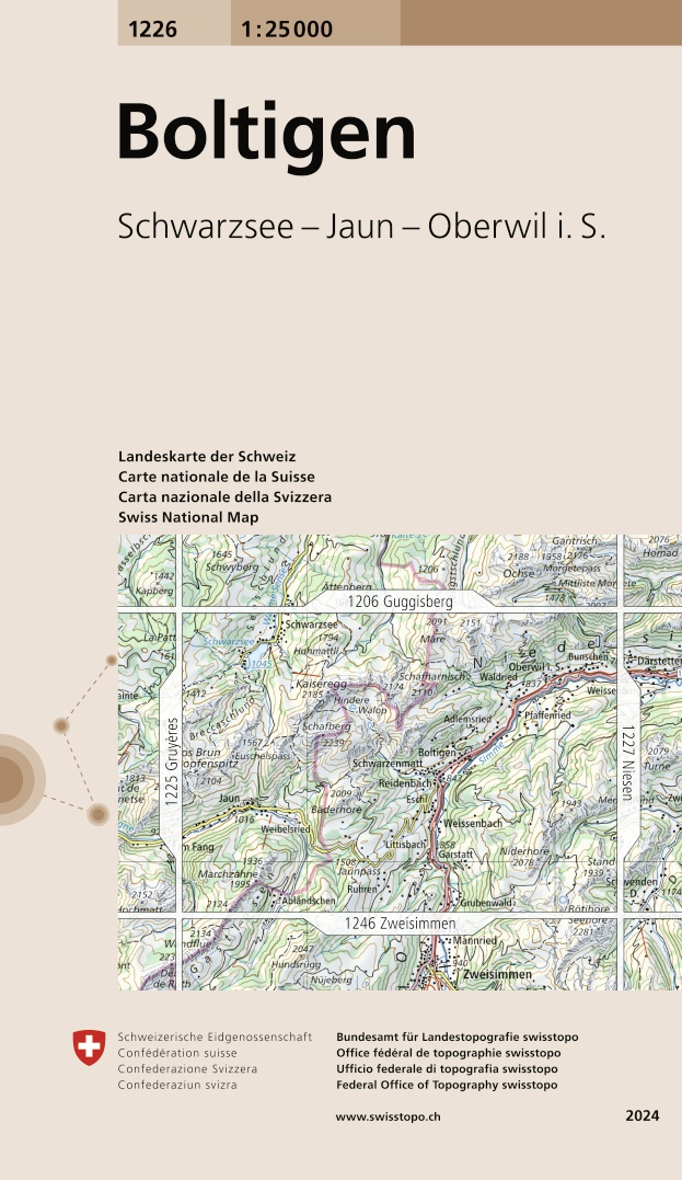
- Wandelkaart - Topografische kaart 1226 Boltigen | Swisstopo
- Map No. 1226, Boltigen, in the topographic survey of Switzerland at 1:25,000 from Bundesamt f Read more
- Also available from:
- Stanfords, United Kingdom

Stanfords
United Kingdom
2024
United Kingdom
2024
- Boltigen Swisstopo 1226
- Map No. 1226, Boltigen, in the topographic survey of Switzerland at 1:25,000 from Bundesamt für Landestopographie (swisstopo), covering the whole country on 247 small format sheets, with special larger maps published for popular regions including some titles now available in hiking versions.Highly regarded for their superb use of graphic relief... Read more

De Zwerver
Netherlands
2012
Netherlands
2012
- Wandelkaart 20 Il Monferrato da Asti a Casale Monferrato | IGC - Istituto Geografico Centrale
- Il Monferrato, map no. 20, in a series contoured hiking maps at 1:50,000 with local trails, long-distance footpaths, mountain accommodation, etc. from the Turin based Istituto Geografico Centrale covering the Italian Alps and Piedmont, the lakes and northern Lombardy, and the Italian Riviera.The maps have contours at 50m intervals, enhanced by... Read more
- Also available from:
- Stanfords, United Kingdom

Stanfords
United Kingdom
2012
United Kingdom
2012
- Il Monferrato: Asti - Casale Monferrato 50K IGC Map No. 20
- The Monferrato region of Piedmont east of Turin, between Asti and Casale Monferrato, in a series contoured hiking maps at 1:50,000 with local trails, long-distance footpaths, mountain accommodation, etc. from the Turin based Istituto Geografico Centrale. This title also shows local cycle routes.Maps in this series have contours at 50m... Read more