
Yorkshire Dales
Beschreibung
The Yorkshire Dales National Park is a pretty area for walking. The upland parts consist of pastures separated by dry-stone walls and grazed by sheep and cattle. Elsewhere, you will find heather moorland. The Yorkshire Dales belong to the Pennines. A great number of Long Distance Trails traverse this area, including the Coast to Coast Walk, the Pennine Way and the Dales Way.
Wanderwege Region
Links
Fakten
Berichte
Führer und Karten
Übernachtung
Organisationen
Reisebüros
GPS
Sonstiges
Bücher

- Also available from:
- Stanfords, United Kingdom

Stanfords
United Kingdom
United Kingdom
- Dorking, Reigate, Crawley & Horsham OS Landranger Active Map 187 (waterproof)
- Dorking and Reigate area, including a section of the North Downs Way / E2 European Long-distance Path, on a waterproof and tear-resistant OS Active version of map No. 187 from the Ordnance Survey’s Landranger series at 1:50,000, with contoured and GPS compatible topographic mapping plus tourist information.MOBILE DOWNLOADS: As well as the... Read more

- Also available from:
- Stanfords, United Kingdom

Stanfords
United Kingdom
United Kingdom
- North Pennines: Teesdale & Weardale OS Explorer Active Map OL31 (waterproof)
- The northern part of the Pennines including Teesdale and Weardale on a detailed topographic and GPS compatible map OL31, waterproof version, from the Ordnance Survey’s 1:25,000 Explorer series. Coverage include Barnard Castle, Middleton-in-Teesdale, Stanhope, Blagill, Gilderdale Forest, Milburn Forest, Hamsterley Forest, Middleton Common, the... Read more

- Also available from:
- De Zwerver, Netherlands
- Stanfords, United Kingdom

De Zwerver
Netherlands
Netherlands

Stanfords
United Kingdom
United Kingdom
- Cambridge - Newmarket, Saffron Walden OS Landranger 154
- Parts of Cambridgeshire, Suffolk and Essex with Cambridge, Newmarket and Saffron Walden, including part of the E2 European Long-distance path, on a paper version of map No. 154 from the Ordnance Survey’s Landranger series at 1:50,000, with contoured and GPS compatible topographic mapping plus tourist information.MOBILE DOWNLOADS: As well as the... Read more
- Also available from:
- De Zwerver, Netherlands
- Stanfords, United Kingdom

Stanfords
United Kingdom
2016
United Kingdom
2016
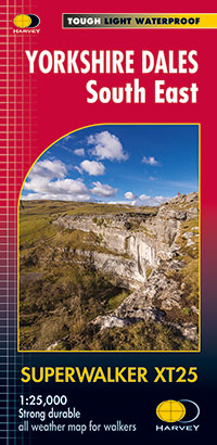
- Yorkshire Dales South East Harvey Superwalker XT25
- The south-eastern part of the Yorkshire Dales at 1:25,000 on a light, waterproof and tear-resistant map from Harvey Map Services in their Superwalker series. Coverage extends from Arncliffe and Kettlewell southwards to Skipton, with Settle and Pen-y-ghent on the western edge of the map, and includes Malham Cove.PLEASE NOTE: this title is also... Read more

- Also available from:
- De Zwerver, Netherlands
- Stanfords, United Kingdom
Stanfords
United Kingdom
2016
United Kingdom
2016
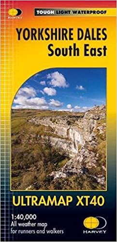
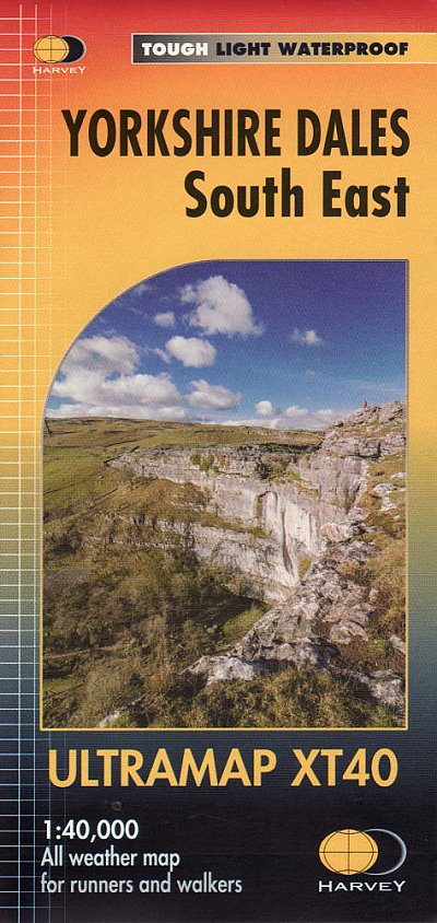
- Yorkshire Dales South East Harvey Ultramap XT40
- The south-eastern part of the Yorkshire Dales at 1:40,000 on a waterproof and tear-resistant, pocket-size Ultramap from Harvey Map Services with the same cartography as their Superwalker map of this area. Coverage extends from Arncliffe and Kettlewell southwards to Skipton, with Settle and Pen-y-ghent on the western edge of the map, and... Read more

- Also available from:
- Stanfords, United Kingdom

Stanfords
United Kingdom
United Kingdom
- Canterbury, East Kent, Dover & Margate OS Landranger Active Map 179 (waterproof)
- Eastern Kent with Canterbury, Dover and Margate, including sections of the North Downs Way and the E2 and E9 European Long-Distance Paths, on a waterproof and tear-resistant OS Active version of map No. 179 from the Ordnance Survey’s Landranger series at 1:50,000, with contoured and GPS compatible topographic mapping plus tourist... Read more


The Book Depository
United Kingdom
2017
United Kingdom
2017
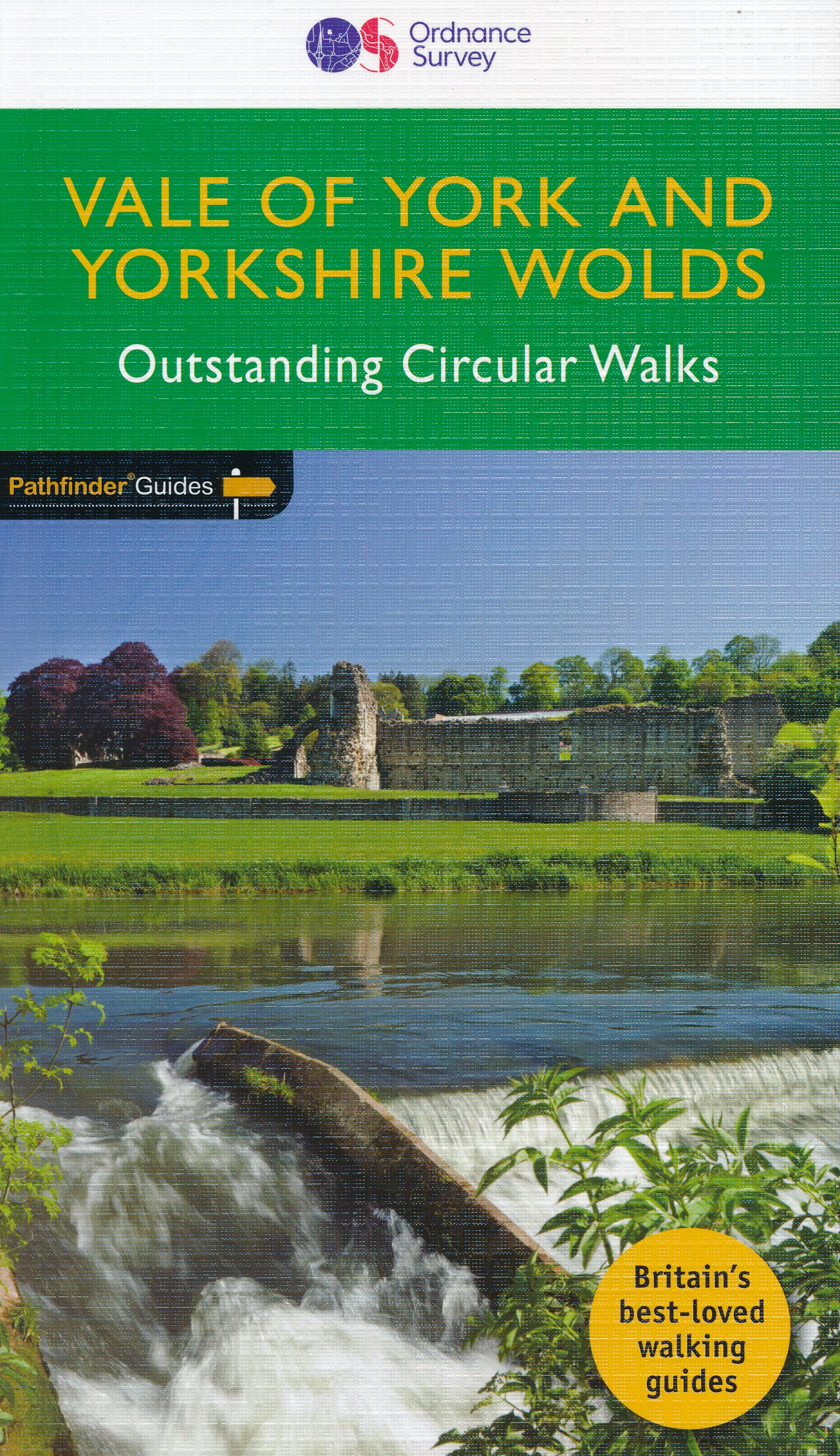
- Vale of York & the Yorkshire Wolds
- The wide plain of the Vale of York lies at the very heart of the county of Yorkshire with the historic city of York at its centre. The vale is bordered by the Pennnines to the west, the North York Moors to the north-east and the Yorkshire Wolds to the east. While most visitors flock to Yorkshire`s two national parks, the flat plains of the Vale... Read more
- Also available from:
- De Zwerver, Netherlands
- Stanfords, United Kingdom
De Zwerver
Netherlands
2017
Netherlands
2017
- Wandelgids 49 Pathfinder Guides Vale of York and the Yorkshire Wolds | Ordnance Survey
- The wide plain of the Vale of York lies at the very heart of the county of Yorkshire with the historic city of York at its centre. The vale is bordered by the Pennnines to the west, the North York Moors to the north-east and the Yorkshire Wolds to the east. While most visitors flock to Yorkshire`s two national parks, the flat plains of the Vale... Read more

Stanfords
United Kingdom
2017
United Kingdom
2017
- Vale of York and Yorkshire Wolds
- The wide plain of the Vale of York lies at the very heart of the county of Yorkshire with the historic city of York at its centre. The vale is bordered by the Pennnines to the west, the North York Moors to the north-east and the Yorkshire Wolds to the east. While most visitors flock to Yorkshire`s two national parks, the flat plains of the Vale... Read more

- Also available from:
- De Zwerver, Netherlands

The Book Depository
United Kingdom
2018
United Kingdom
2018
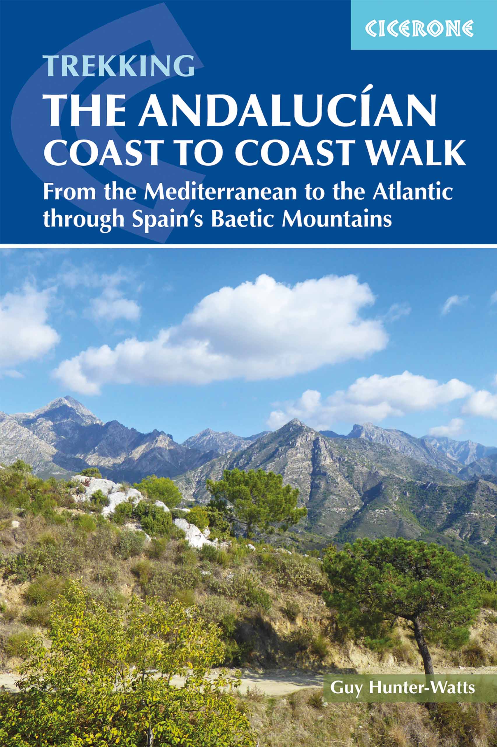
- The Andalucian Coast to Coast Walk
- From the Mediterranean to the Atlantic through the Baetic Mountains Read more
- Also available from:
- De Zwerver, Netherlands
De Zwerver
Netherlands
2018
Netherlands
2018
- Wandelgids The Andalucian Coast to Coast Walk - Andalusie | Cicerone
- Guidebook to the Andalucian Coast to Coast Walk, a 440km, 21-day route from Maro on the Mediterranean coast to Bolonia, on the Atlantic. The route, which passes through 7 Natural Parks, links some of Andalucía's most beautiful villages and passes historical sites of both Roman and Moorish origins, including Ronda and Tarifa. Read more

- Also available from:
- De Zwerver, Netherlands
- Stanfords, United Kingdom
De Zwerver
Netherlands
2015
Netherlands
2015

Stanfords
United Kingdom
2015
United Kingdom
2015
- Kingston upon Hull & Beverley OS Explorer Map 293 (paper)
- Kingston upon Hull and Beverley area on a detailed topographic and GPS compatible map No. 293, paper version, from the Ordnance Survey’s 1:25,000 Explorer series. MOBILE DOWNLOADS: this title and all the other OS Explorer maps include a code for downloading after purchase the digital version onto your smartphone or tablet for viewing on the OS... Read more

The Book Depository
United Kingdom
United Kingdom
- Walking the Literary Landscape
- 20 classic walks for book-lovers in Northern England Read more
- Also available from:
- Stanfords, United Kingdom

Stanfords
United Kingdom
United Kingdom
- Walking the Literary Landscape: 20 Classic Walks for Book-Lovers in Northern England
- Literature and a love of the English countryside are natural companions. Walking the Literary Landscape brings the two together in a collection of 20 circular routes in the north of England, all between 3 and 9 miles (5 and 15 kilometres) in length. The walks explore the physical settings that inspired some of our greatest literature. Walk in... Read more

- Also available from:
- De Zwerver, Netherlands
- Stanfords, United Kingdom
De Zwerver
Netherlands
2020
Netherlands
2020
- Wandelgids The Peak District | Pocket Mountains
- 40 favourite walks Read more

Stanfords
United Kingdom
2020
United Kingdom
2020
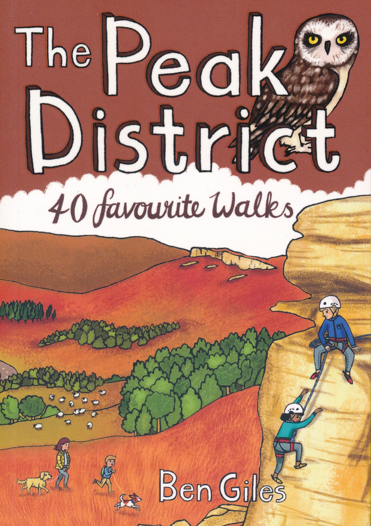
- The Peak District: 40 favourite walks
- The Peak District is an upland area at the southern end of the Pennines and includes parts of Derbyshire, Greater Manchester, Staffordshire, West Yorkshire and South Yorkshire. Mostly split between the gritstone of the Dark Peak and the limestone area of the White Peak, the Peak District National Park became the UK`s first national park in... Read more

- Also available from:
- De Zwerver, Netherlands
- Stanfords, United Kingdom
De Zwerver
Netherlands
2017
Netherlands
2017
- Wandelgids Yorkshire Dales | Pocket Mountains
- The Yorkshire Dales combine a wild limestone landscape of high rolling moorland gouged by dramatic caves and cascading waterfalls with peaceful farmland carpeted in wildflowers and dotted with ruined abbeys, ancient stone walls and barns, and timeless villages waiting to be discovered.The 40 moderate walks in this collection from award winning... Read more

Stanfords
United Kingdom
2017
United Kingdom
2017
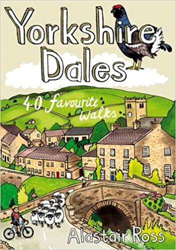
- Yorkshire Dales: 40 Favourite Walks
- The Yorkshire Dales combine a wild limestone landscape of high rolling moorland gouged by dramatic caves and cascading waterfalls with peaceful farmland carpeted in wildflowers and dotted with ruined abbeys, ancient stone walls and barns, and timeless villages waiting to be discovered.The 40 moderate walks in this collection from award winning... Read more

- Also available from:
- De Zwerver, Netherlands
- Stanfords, United Kingdom

De Zwerver
Netherlands
2015
Netherlands
2015

Stanfords
United Kingdom
2015
United Kingdom
2015
- Market Weighton & Yorkshire Wolds Central - Pocklington OS Explorer Map 294 (paper)
- Market Weighton, Central Yorkshire Wolds and Pocklington area on a detailed topographic and GPS compatible map No. 294, paper version, from the Ordnance Survey’s 1:25,000 Explorer series. MOBILE DOWNLOADS: this title and all the other OS Explorer maps include a code for downloading after purchase the digital version onto your smartphone or... Read more
Karten

The Book Depository
United Kingdom
United Kingdom
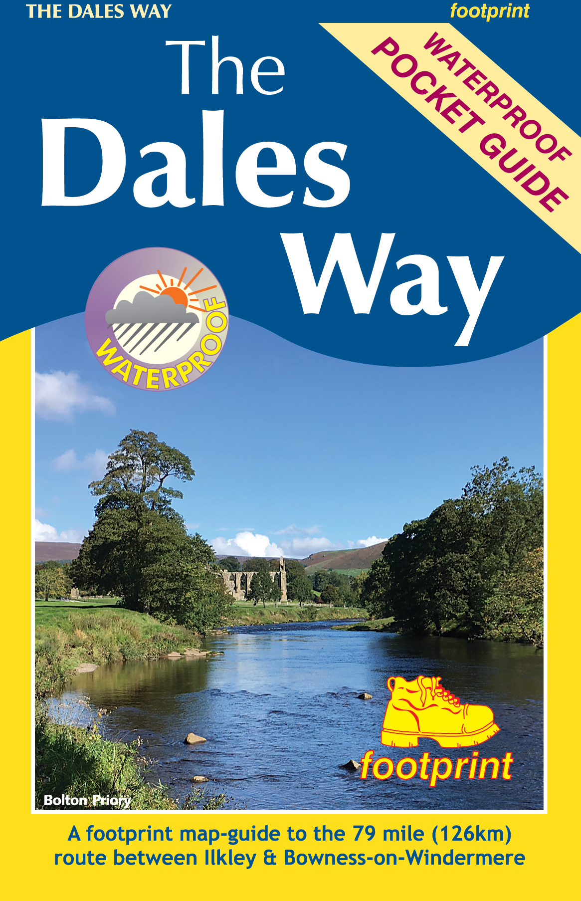
- Dales Way
- The Dales Way, a 135km / 85 mile route in the Yorkshire Dales and the Lake District National Parks, presented at 1:40,000 on a map from Harvey Map Services. The route itself, between Ilkley and Bowness-on-Windermere, is shown on six panels, with additional three panels covering the access to the start of the Dales Way in Ilkley from Leeds,... Read more
- Also available from:
- De Zwerver, Netherlands
- Stanfords, United Kingdom

De Zwerver
Netherlands
Netherlands
- Wandelkaart Dales Way | Harvey Maps
- The Dales Way, a 135km / 85 mile route in the Yorkshire Dales and the Lake District National Parks, presented at 1:40,000 on a map from Harvey Map Services. The route itself, between Ilkley and Bowness-on-Windermere, is shown on six panels, with additional three panels covering the access to the start of the Dales Way in Ilkley from Leeds,... Read more

Stanfords
United Kingdom
United Kingdom
- Dales Way Harvey National Trail XT40
- The Dales Way, a 135km / 85 mile route in the Yorkshire Dales and the Lake District National Parks, presented at 1:40,000 on a map from Harvey Map Services. The route itself, between Ilkley and Bowness-on-Windermere, is shown on six panels, with additional three panels covering the access to the start of the Dales Way in Ilkley from Leeds,... Read more

The Book Depository
United Kingdom
2016
United Kingdom
2016
- Yorkshire Dales South & Western
- Southern and western area of the Yorkshire Dales on a detailed topographic and GPS compatible map OL2, paper version, from the Ordnance Survey`s 1:25,000 Explorer series. Coverage includes Wharfedale with Grassington and Hebden, the upper part of the Ribblesdale with Settle and Horton, Yorkshire’s Three Peaks area of Whernside, Ingleborough and... Read more
- Also available from:
- De Zwerver, Netherlands
- Stanfords, United Kingdom

De Zwerver
Netherlands
2016
Netherlands
2016
- Wandelkaart - Topografische kaart OL02 OS Explorer Map Yorkshire Dales - Southern & Western Area | Ordnance Survey
- Southern and western area of the Yorkshire Dales on a detailed topographic and GPS compatible map OL2, paper version, from the Ordnance Survey`s 1:25,000 Explorer series. Coverage includes Wharfedale with Grassington and Hebden, the upper part of the Ribblesdale with Settle and Horton, Yorkshire’s Three Peaks area of Whernside, Ingleborough and... Read more

Stanfords
United Kingdom
2016
United Kingdom
2016
- Yorkshire Dales Southern & Western - Whernside, Ingleborough & Pen-y-ghent OS Explorer OL2
- Southern and western area of the Yorkshire Dales on a detailed topographic and GPS compatible map OL2, paper version, from the Ordnance Survey`s 1:25,000 Explorer series. Coverage includes Wharfedale with Grassington and Hebden, the upper part of the Ribblesdale with Settle and Horton, Yorkshire’s Three Peaks area of Whernside, Ingleborough and... Read more

The Book Depository
United Kingdom
2015
United Kingdom
2015
- Peak District North
- The northern part of the Peak District at 1:25,000 on a light, waterproof and tear-resistant, GPS compatible, double-sided map from Harvey Map Services in their Superwalker series. Coverage extends from Marsden and Holmbridge in the north to beyond Glossop in the south, and includes the Bottoms / Valehouse / Rhodeswood / Torside / Woodhead... Read more
- Also available from:
- De Zwerver, Netherlands
- Stanfords, United Kingdom

De Zwerver
Netherlands
2015
Netherlands
2015
- Wandelkaart Peak District Noord | Harvey Maps
- The northern part of the Peak District at 1:25,000 on a light, waterproof and tear-resistant, GPS compatible, double-sided map from Harvey Map Services in their Superwalker series. Coverage extends from Marsden and Holmbridge in the north to beyond Glossop in the south, and includes the Bottoms / Valehouse / Rhodeswood / Torside / Woodhead... Read more

Stanfords
United Kingdom
2015
United Kingdom
2015
- Peak District North Harvey Superwalker XT25
- The northern part of the Peak District at 1:25,000 on a light, waterproof and tear-resistant map from Harvey Map Services in their Superwalker series. Coverage extends from Marsden and Holmbridge in the north to beyond Glossop in the south, and includes the Bottoms / Valehouse / Rhodeswood / Torside / Woodhead Reservoirs, Howden / Derwent... Read more

The Book Depository
United Kingdom
United Kingdom
- North York Moors (Eastern)
- The eastern part of the North Yorkshire Moors at 1:25,000 in a series of Walker Read more
- Also available from:
- Stanfords, United Kingdom

Stanfords
United Kingdom
United Kingdom
- North York Moors East 25K AA/OS Walker`s Map No. 12
- The eastern part of the North Yorkshire Moors at 1:25,000 in a series of Walker’s Maps published by the AA with the cartography from the Ordnance Survey’s Explorer series. The map is double-sided and coverage includes the North Yorks Moors National Park, Scarborough, Robin Hood’s Bay, Whitby, Lythe, Staithes, Loftus, Goathland,... Read more

The Book Depository
United Kingdom
United Kingdom
- Yorkshire Dales South & Western
- Southern and western area of the Yorkshire Dales on a detailed topographic and GPS compatible map OL2, waterproof version, from the Ordnance Survey`s 1:25,000 Explorer series. Coverage includes Wharfedale with Grassington and Hebden, the upper part of the Ribblesdale with Settle and Horton, Yorkshire’s Three Peaks area of Whernside,... Read more
- Also available from:
- Stanfords, United Kingdom

Stanfords
United Kingdom
United Kingdom
- Yorkshire Dales Southern & Western - Whernside, Ingleborough & Pen-y-ghent OS Explorer OL2 ACTIVE
- Southern and western area of the Yorkshire Dales on a detailed topographic and GPS compatible map OL2, waterproof version, from the Ordnance Survey`s 1:25,000 Explorer series. Coverage includes Wharfedale with Grassington and Hebden, the upper part of the Ribblesdale with Settle and Horton, Yorkshire’s Three Peaks area of Whernside,... Read more

The Book Depository
United Kingdom
United Kingdom
- Lakes SE
- The south-eastern area of the Lake District on a detailed topographic and GPS compatible map OL7, waterproof version, from the Ordnance Survey’s 1:25,000 Explorer series. Coverage extends eastwards from Coniston and the northern part of the Coniston Water to the Killington Reservoir and includes Grasmere, Ambleside, Windermere, Kendal, Penny... Read more

The Book Depository
United Kingdom
2015
United Kingdom
2015
- Peak District Central XT25
- The central part of the Peak District at 1:25,000 on a light, waterproof and tear-resistant, GPS compatible, double-sided map from Harvey Map Services in their Superwalker series. Coverage extends from west of New Mills and Whaley Bridge in the west to Sheffield and from the Derwent Reservoir in the north to Buxton, and includes... Read more
- Also available from:
- Stanfords, United Kingdom

Stanfords
United Kingdom
2015
United Kingdom
2015
- Peak District Central Harvey Superwalker XT25
- The central part of the Peak District at 1:25,000 on a light, waterproof and tear-resistant map from Harvey Map Services in their Superwalker series. Coverage extends from west of New Mills and Whaley Bridge in the west to Sheffield, and from the Derwent Reservoir in the north to Buxton, and includes Chapel-en-le-Firth, Castleton, Kinder Scout,... Read more

The Book Depository
United Kingdom
United Kingdom
- Cleveland Way
- Mooie, duidelijke kaart van de Cleveland Way in Noord-Engeland. Geplastificeerd met veel extra informatie en uitsnedes van de route. Leap forward in technical excellence. Tough, light and 100% waterproof Compact and light - the map itself weighs just 60gms - a third of the weight of a laminated map, and much less bulky. And you can fold or... Read more
- Also available from:
- De Zwerver, Netherlands
- Stanfords, United Kingdom
De Zwerver
Netherlands
Netherlands
- Wandelkaart Cleveland Way | Harvey Maps
- Mooie, duidelijke kaart van de Cleveland Way in Noord-Engeland. Geplastificeerd met veel extra informatie en uitsnedes van de route. Leap forward in technical excellence. Tough, light and 100% waterproof Compact and light - the map itself weighs just 60gms - a third of the weight of a laminated map, and much less bulky. And you can fold or... Read more

Stanfords
United Kingdom
United Kingdom
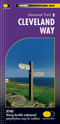
- Cleveland Way Harvey National Trail XT40
- Cleveland Way, established over 40 years ago as Britain’s second National Trail, presented at 1:40,000 on a GPS compatible, light, waterproof and tear-resistant map from Harvey Map Services. The 170km/109 miles route which starts in Helmsley, crosses the North York Moors National Park and sweeps southwards along the coast to Filey, is covered... Read more

De Zwerver
Netherlands
2020
Netherlands
2020
- Fietskaart Yorkshire Dales Touring / Nidderdale Area of NB | Harvey Maps
- Yorkshire Dales on a road map at 1:100,000 from Harvey Map Services with several enlargements showing main roads across local towns, plus descriptions of interesting locations, advice on public transport, etc. The map shows the Dales region with altitude colouring to indicate the region Read more
- Also available from:
- Stanfords, United Kingdom

Stanfords
United Kingdom
2020
United Kingdom
2020
- Yorkshire Dales Harvey Touring & Planning Map
- Yorkshire Dales on a road map at 1:100,000 from Harvey Map Services with several enlargements showing main roads across local towns, plus descriptions of interesting locations, advice on public transport, etc. The map shows the Dales region with altitude colouring to indicate the region’s topography. Long-distance trails such as the Dales Way,... Read more

De Zwerver
Netherlands
Netherlands
- Wandelkaart Pennine Way South | Harvey Maps
- The southern section of the Pennine Way between Edale and Horton in Ribblesdale on a waterproof and tear-resistant map at 1:40,000 from Harvey Map Services presenting the route accompanied by extensive additional tourist information.Divided into six panels, the route is shown on mapping with contours at 15m intervals enhanced by additional... Read more
- Also available from:
- Stanfords, United Kingdom

Stanfords
United Kingdom
United Kingdom
- Pennine Way South Harvey XT40 National Trail Map
- The southern section of the Pennine Way between Edale and Horton in Ribblesdale on a waterproof and tear-resistant map at 1:40,000 from Harvey Map Services presenting the route accompanied by extensive additional tourist information.Divided into six panels, the route is shown on mapping with contours at 15m intervals enhanced by additional... Read more

De Zwerver
Netherlands
Netherlands
De Zwerver
Netherlands
2022
Netherlands
2022

De Zwerver
Netherlands
2014
Netherlands
2014
- Fietskaart Dales Noord | Harvey Maps
- The northern part of the Yorkshire Dales on a waterproof and tear-resistant, contoured and GPS compatible map at 1:40,000 from Harvey Map Services showing local right of way paths, long-distance hiking routes, off road cycling routes, etc.Topography is shown by contours at 15m intervals, with spot heights plus colouring and graphics to show... Read more