
Neuseeland
Beschreibung
 New Zealand is paradise for hikers. Tramping, as hiking or walking is called here, is very popular and well organised. Most tramps are inside one of New Zealand’s 14 NPs and 19 National Forests.
From the northern tip to Stewart Island in the south, New Zealand stretches out for 1.600 km, and the country has a 10% larger area than Great Britain. Thanks to high rainfall, its elongated north-south position, geology, mountains and winds, the country offers an enormous variety in landscapes. You will find countless rivers and lakes filled with fish, lush rainforests, alpine ridges and active volcanoes. The coastline is seemingly endless and varied, and dotted with small beaches. In all these landscapes hiking trails have been laid out. Ideal if you are looking for wilderness and isolation.
Trails, or tracks as they are called locally, and so-called backcountry huts are mostly maintained by the Department of Conservation (DOC). Tramping is possible on all levels of difficulty. The DOC distinguishes 6 Track Categories:
- Easy Access Tracks (very short)
- Short Walks
- Walking track (2429 km): day hikes
- Great walks (380 km) and Easy tramping tracks (895 km): track is generally well formed, may be steep, rough or muddy
- Tramping tracks (7803 km): track is mostly unformed with steep, rough or muddy sections
- Routes (1458 km): challenging; Track is mostly unformed with steep, rough or muddy sections
A special category are the so-called 9 Great Walks. In fact there are only 8, because the Whanganui Journey is a paddling route. These Great Walks are very scenic, not too difficult, and consequently most popular. During high season – from mid December until late January – these are best avoided. The Great Walks are:
- Lake Waikaremoana Great Walk, 42 km, 4 days
- Tongariro Northern Circuit, 50 km, 4 days
- Whanganui Journey - paddle, 144 km, 5 days
- Abel Tasman Coast Track, 51 km, 5 days
- Heaphy Track, 78 km, 5 days
- Routeburn Track, 32 km, 3 days
- Milford Track, 54, 4 days
- Kepler Track, 60 km, 4 days
- Rakiura Track, Stewart Island, 36 km, 3 days
All tramps have huts and camp sites. You will need to bring your own food. Also bring your own stove for cooking, except on the Great Walks where the huts have a kitchen with stove. Most huts are basic and cheap, The better and popular ones may be staffed by a warden. There are three categories of huts:
- 1000 huts in the NPs. Payment with tickets purchased in advance at for instance DOC visitor information centres. You can also buy a Backcountry Hut Pass, valid for one year, and a good deal if used for 10 nights or more.
- There are a few Alpine Service Huts, high up in the mountains, which are a lot more expensive
- Great Walk Huts: these have their own separate ticket system and require a special Great Walks Pass. In addition these Great Walks, because of their popularity, are bookable online (DOC) and consequently frequently booked-out during high season.
Summer holidays in New Zealand run from mid December until late January. In this period walking trails are very busy. The Great Walks will be fully booked if you haven’t booked early. If you can avoid the high season, from mid November and until mid April is also a good time for hiking, although you may encounter snow high up in the mountains. Weather is changeable at all times.
Karte


Wanderwege
- Abel Tasman Coast TrackGPX
- Angelus and Robert Ridge
- Arahura and Styx Valleys tracks
- Avalanche Peak – Crow River route
- Ball Pass Crossing
- Cape Reinga Coastal Walkway
- Carrington Hut – Waimakariri Col – Otira Route
- Carrington Hut route
- Cascade Saddle Route
- Casey Saddle – Binser Saddle route
- Cass – Lagoon Saddle tramping track
- Devilskin Saddle route
- Dusky TrackGPX
- Edwards – Hawdon Route
- Edwards – Otehake route
- George Sound Track
- Gillespie Pass circuit
- Great Walks New Zealand
- Greenstone and Caples tracks
- Hapuakohe Walkway
- Harman Pass Route
- Harper Pass route
- Heaphy TrackGPX
- Historic Haast to Paringa Cattle Track
- Holdsworth – Kaitoke Tramp
- Hollyford TrackGPX
- Hump Ridge Track
- Inland TrackGPX
- Kaimai Mamaku North-South Track
- Kawhatau Base to Crow Hut Loop Track
- Kepler TrackGPX
- Kirwans Reward Track
- Knights Track to Pohangina Valley East Road Track
- Lake Man tramping track and route
- Lake Sumner and Lewis Pass routes
- Lake Waikaremoana Great Walk
- Leslie-Karamea Track
- Lewis Pass – Waiau Pass – Blue Lake route
- Manganuku Wahaatua Pakihi Heads Track
- Mangapurua Kaiwhakauka Track
- Manuoha to Waikareiti Track
- Matemateaonga Track
- Mavora – Greenstone Walkway
- Milford TrackGPX
- Minchin Pass route
- Mingha – Deception route
- Motatapu track
- Mount Arthur Tableland Circuit
- Mount Holdsworth – Jumbo Circuit
- North West Circuit Stewart Island
- Nydia Track, Marlborough Sounds
- Otago Central Rail Trail
- Papatahi Crossing
- Pelorus TrackGPX
- Pouakai CircuitGPX
- Purity - Kelly Knight Hut Loop Track
- Purity to Kawhatau Base Track
- Pyke – Big Bay Route
- Queen Charlotte TrackGPX
- Rakiura TrackGPX
- Rangiwahia Hut - Deadmans TrackGPX
- Rees-Dart Track
- Renfrew Roadend to Table Flat Roadend
- Round the Mountain TrackGPX
- Routeburn TrackGPX
- Ruahine Corner to Kawhatau Base Track
- Southern Circuit Stewart Island
- St James Walkway
- Table Flat - Kashmir Roadend West-East crossing
- Tararua Northern CrossingGPX
- Tararua Southern CrossingGPX
- Te AraroaGPX
- Three Passes route
- Timaru River Track
- Tongariro Northern CircuitGPX
- Travers-Sabine Circuit
- Waipapa River TrackGPX
- Wangapeka TrackGPX
- Warawara Track
- Whirinaki Track
Regionen
- Abel Tasman NP
- Ahuriri CP
- Aoraki or Mount Cook NP
- Arthur's Pass NP
- Bay of Plenty
- Canterbury
- Craigieburn FP
- East Coast
- Egmont NP
- Eyre Mountains CP
- Fiordland NP
- Hanmer FP
- Kahurangi NP
- Kaimai Mamaku FP
- Lake Sumner FP
- Marlborough
- Mavora Lakes Park
- Mount Aspiring NP
- Mount Richmond FP
- Nelson
- Nelson Lakes NP
- North Island
- Northland
- Northland FP
- Otago
- Pirongia FP
- Pureora FP
- Pyke Forest
- Rakiura NP
- Raukumara FP
- Rimutaka FP
- South Island
- Southland
- St James CP
- Tararua FP
- Te Urewera NP
- Tongariro
- Tongariro NP
- Waikato
- Wanganui
- Wellington
- West Coast NZ
- Western Ruahine FP
- Whanganui NP
- Whirinaki FP
Berge


Links
Fakten
Berichte
Führer und Karten
Übernachtung
Organisationen
Reisebüros
GPS
Sonstiges
Bücher


United Kingdom
2022
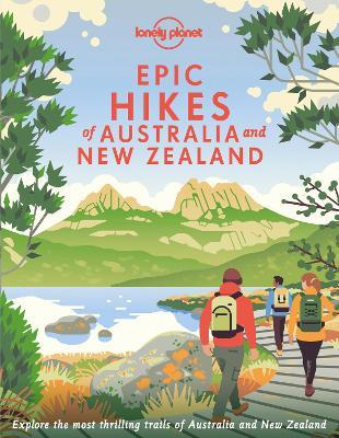
- Lonely Planet Epic Hikes of Australia & New Zealand
- Lace up your hiking boots for the next in Lonely Planet`s highly successful Epic Hikes series, this time exploring 50 of Australia and New Zealand`s most rewarding treks and trails. From the Routeburn Track in New Zealand`s South Island to the Cape to Cape walk in Western Australia`s Leeuwin-Naturaliste National Park, we cover a huge variety of... Read more
- Also available from:
- De Zwerver, Netherlands
- Stanfords, United Kingdom
Netherlands
2022
- Wandelgids Hikes of Australia and New Zealand | Lonely Planet
- Lace up your hiking boots for the next in Lonely Planet`s highly successful Epic Hikes series, this time exploring 50 of Australia and New Zealand`s most rewarding treks and trails. From the Routeburn Track in New Zealand`s South Island to the Cape to Cape walk in Western Australia`s Leeuwin-Naturaliste National Park, we cover a huge variety of... Read more

United Kingdom
2022
- Epic Hikes of Australia & New Zealand
- Lace up your hiking boots for the next in Lonely Planet`s highly successful Epic Hikes series, this time exploring 50 of Australia and New Zealand`s most rewarding treks and trails. From the Routeburn Track in New Zealand`s South Island to the Cape to Cape walk in Western Australia`s Leeuwin-Naturaliste National Park, we cover a huge variety of... Read more


United Kingdom
- Wildboy: To the Edge and Back
- More Adventures Through Rugged, Remote New Zealand Read more


- Also available from:
- De Zwerver, Netherlands

United Kingdom
- Walking with the ANZACS
- The authoritative guide to the Australian battlefields of the Western Front Read more


United Kingdom
- Wanderful New Zealand
- Hiking the 3,000 kilometre Te Araroa Trail Read more

United Kingdom
- RED DEER WRITING A New Zealand Outdoors Memoir
- ( Colour Edition ) Read more
Netherlands
2018
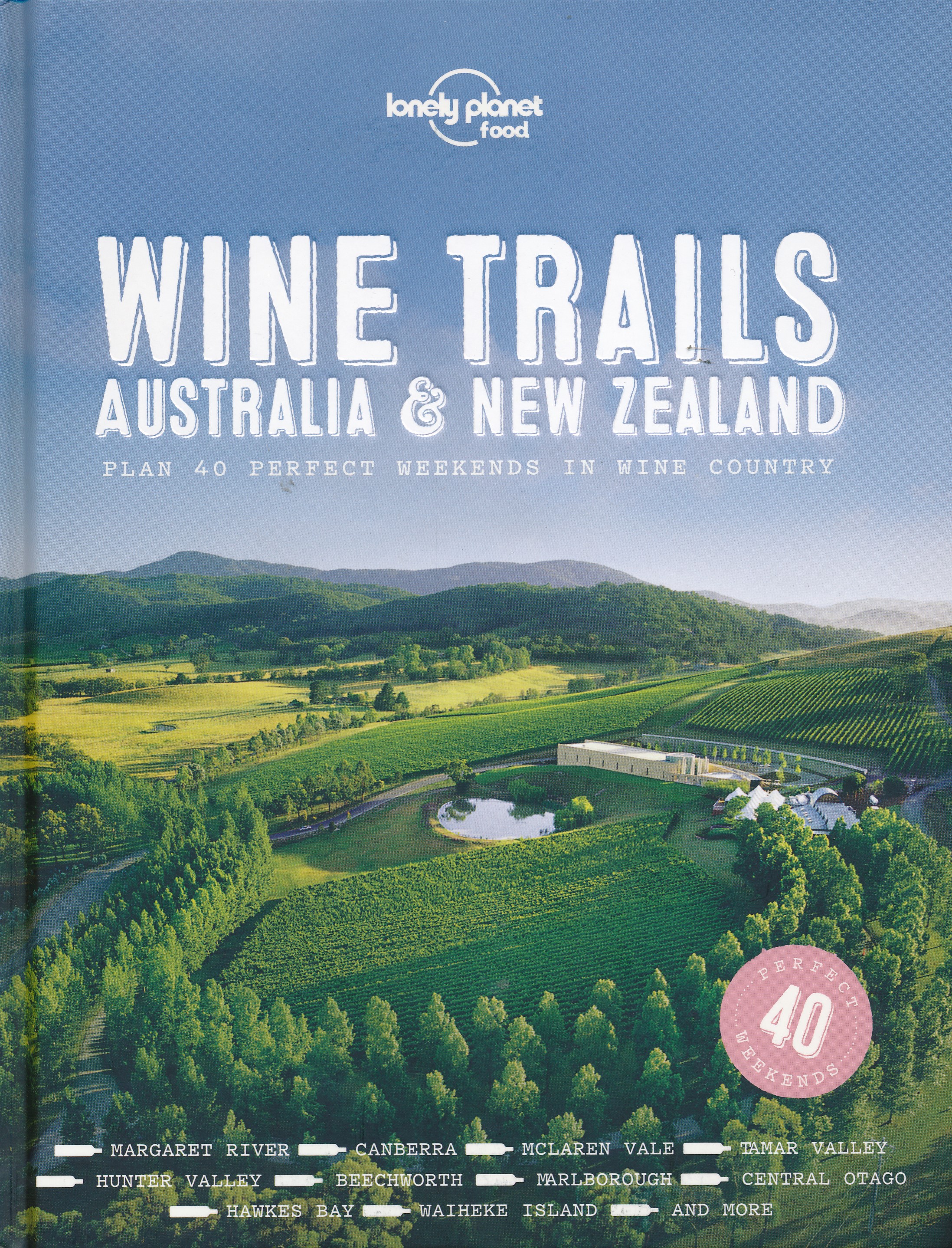
- Reisgids Wine Trails - Australia and New Zealand | Lonely Planet
- Following the success of Wine Trails , we now bring you 40 perfect weekends in Australia and New Zealand wine country, introducing vineyards in regions including the Clare Valley, Margaret River, Hawkes Bay, Tamar Valley and Marlborough, as well as celebrating secret gems off the beaten path. Wine Trails - Australia & New Zealand is perfect for... Read more
Netherlands
2022
Karten
Netherlands
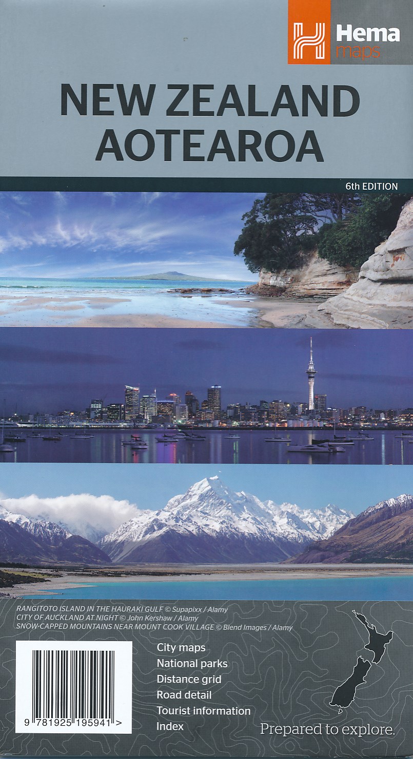
- Wegenkaart - landkaart Nieuw Zeeland - New Zealand - Aotearoa | Hema Maps
- New Zealand Aotearoa 1 : 1 600 000 ab 12.49 EURO City maps, National parks, Distance grid, Road Detail, Tourist Information, Index Hema Maps. 6th Edition Read more
Netherlands
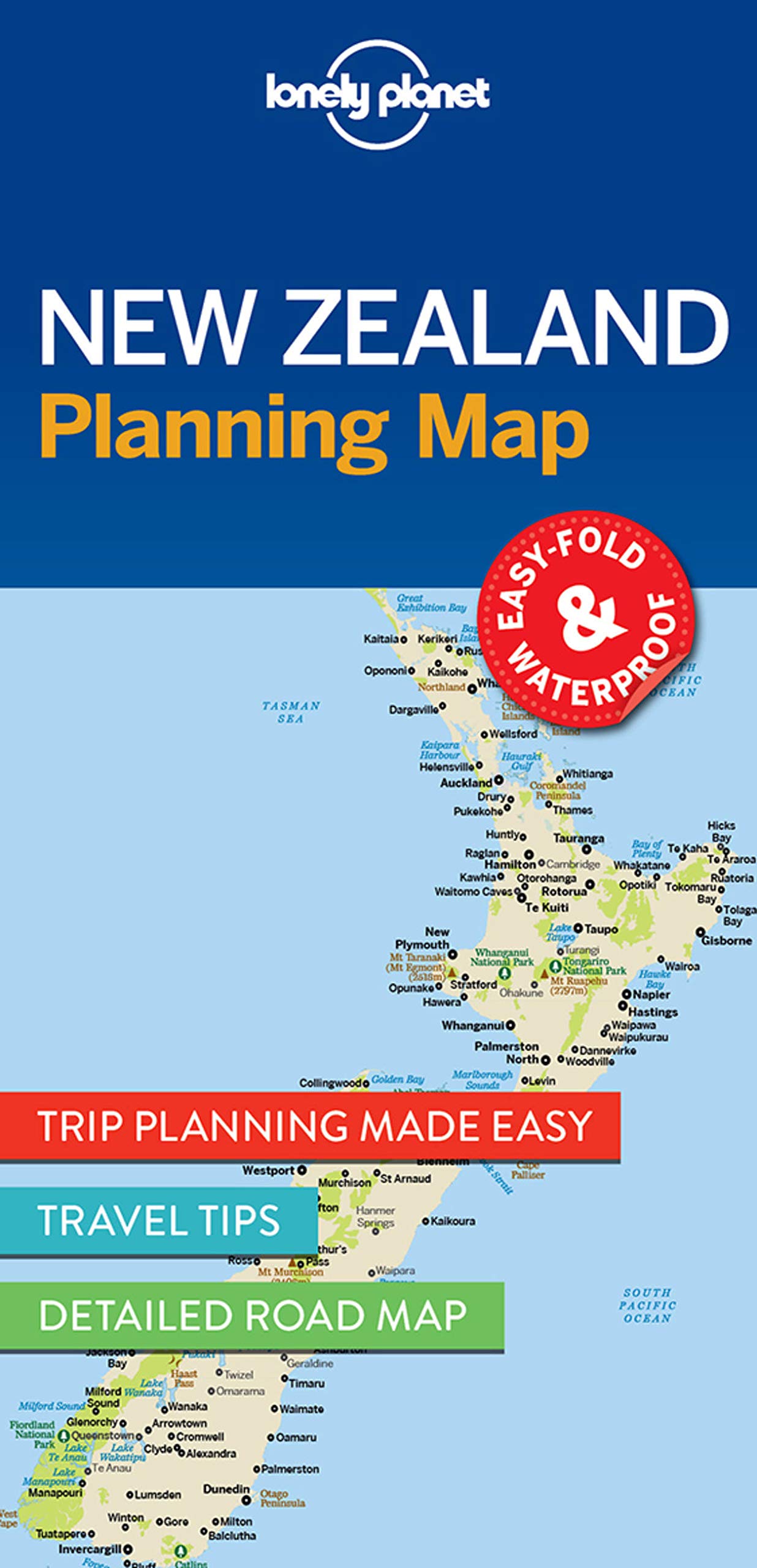
- Wegenkaart - landkaart Planning Map New Zealand - Nieuw Zeeland | Lonely Planet
- New Zealand Planning Map ab 5.99 EURO Must-See Highlights, Travel Tips, Transport Planner. Easy-fold, waterproof Lonely Planet Planning Map. 1st edition Read more
Netherlands
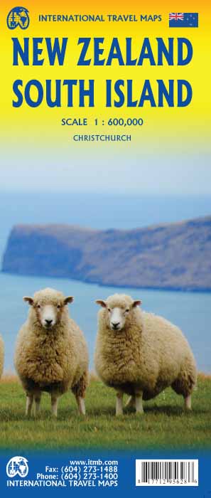
- Wegenkaart - landkaart New Zealand - South Island | ITMB
- New Zealand 1 : 600 000 ab 10.49 EURO International Travel Map ITM. 1st edition Read more

United Kingdom
- NZ681 Approaches to Bluff and Riverton / Aparima
- Plan included:Riverton / Aparima 1:40,000Nautical charts for New Zealand, created by Land Information New Zealand (LINZ), are printed on demand at Stanfords after your order is placed and processed. They provide a detailed coverage of the coastline with a varied range of scales - from overall route planning to detailed harbour charts.Notices to... Read more

United Kingdom
- NZ7654 Chalky and Preservation Inlets
- Plans included:South Port 1:25,000North Port 1:25,000Nautical charts for New Zealand, created by Land Information New Zealand (LINZ), are printed on demand at Stanfords after your order is placed and processed. They provide a detailed coverage of the coastline with a varied range of scales - from overall route planning to detailed harbour... Read more
United Kingdom
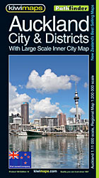
- Auckland Kiwimaps City & District Pathfinder Map
- Auckland and environs in a series of maps covering various districts of New Zealand, with each title combining a detailed road map with street plans of local towns, all with road and street indexes. The maps are published in two formats: handy Pocket Maps or Pathfinders with, as the publishers put it “Larger print so you don’t squint”.The road... Read more

United Kingdom
- Palmerston North Pathfinder
- Palmerston North region in a series of maps covering various districts of New Zealand, with each title combining a detailed road map with street plans of local towns, all with road and street indexes. The maps are published in two formats: handy Pocket Maps or Pathfinders with, as the publishers put it “Larger print so you don’t squint”.The... Read more

United Kingdom
- NZ542 Motiti Island to Pehitairi Point
- Plans included:Ohiwa Harbour Entrance 1:25,000Whakatane River Entrance 1:7,000Nautical charts for New Zealand, created by Land Information New Zealand (LINZ), are printed on demand at Stanfords after your order is placed and processed. They provide a detailed coverage of the coastline with a varied range of scales - from overall route planning... Read more

United Kingdom
- NZ252 Lake Wakatipu
- Plans included:Queenstown Bay to Picnic Point 1:50,000Frankton Arm to Queenstown Bay 1:20,000Queenstown Bay 1:5,000Nautical charts for New Zealand, created by Land Information New Zealand (LINZ), are printed on demand at Stanfords after your order is placed and processed. They provide a detailed coverage of the coastline with a varied range of... Read more

United Kingdom
- NZ7656 Dusky Sound
- Plan included:Continuation of Dusky Sound 1:25,000Nautical charts for New Zealand, created by Land Information New Zealand (LINZ), are printed on demand at Stanfords after your order is placed and processed. They provide a detailed coverage of the coastline with a varied range of scales - from overall route planning to detailed harbour... Read more

United Kingdom
- Queenstown and Lakes Pathfinder
- Queenstown region in a series of maps covering various districts of New Zealand, with each title combining a detailed road map with street plans of local towns, all with road and street indexes. The maps are published in two formats: handy Pocket Maps or Pathfinders with, as the publishers put it “Larger print so you don’t squint”.The road... Read more

United Kingdom
- NZ4212 Hokianga Harbour
- Plans included:Hokianga Harbour (Continuation) 1:40,000Bar & Entrance 1:20,000Nautical charts for New Zealand, created by Land Information New Zealand (LINZ), are printed on demand at Stanfords after your order is placed and processed. They provide a detailed coverage of the coastline with a varied range of scales - from overall route planning... Read more

United Kingdom
- NZ73 Abut Head to Milford Sound
- Plan included:Jackson Bay 1:50,000Nautical charts for New Zealand, created by Land Information New Zealand (LINZ), are printed on demand at Stanfords after your order is placed and processed. They provide a detailed coverage of the coastline with a varied range of scales - from overall route planning to detailed harbour charts.Notices to... Read more

United Kingdom
- NZ8215 Niuatoputapu Group and Niuafo`ou
- Plans included: Niuatoputapu and Tafahi 1:100,000Niuafo`ou 1:100,000Niuatoputapu Harbour 1:9,000Niuatoputapu Harbour Entrance 1:3,000Nautical charts for New Zealand, created by Land Information New Zealand (LINZ), are printed on demand at Stanfords after your order is placed and processed. They provide a detailed coverage of the coastline with... Read more

United Kingdom
- World Physical / Le Monde Physique IGN Wall Map
- Physical world map for the Francophiles, 127 x 83 cm (4ft 2”x 2ft 8” approx.), with lovely bright but not too bold colours, vivid relief shading and all the place names in French. The Arctic and the Antarctic are shown on two circular insets.Central Pacific, from Alaska/Siberia to New Zealand, is repeated on both sides of the map for better... Read more