De Zwerver
Netherlands
De Zwerver
Netherlands
» Click to open
Stanfords
United Kingdom
» Click to close
De Zwerver
Netherlands
» Click to open
Stanfords
United Kingdom
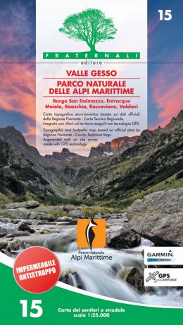
  • Valle Gesso - Parco Naturale delle Alpi Marittime
  • Valle Gesso - Parco Naturale delle Alpi Marittime in the Italian Alps presented at 1:25,000 in a series of large, contoured and GPS compatible walking maps from Fraternali Editore, printed on light, waterproof and tear-resistant synthetic paper. Maps in this series have topography shown by contour lines at 5m intervals with relief shading, spot... Read more
» Click to close
De Zwerver
Netherlands
2014
» Click to open
Stanfords
United Kingdom
2014
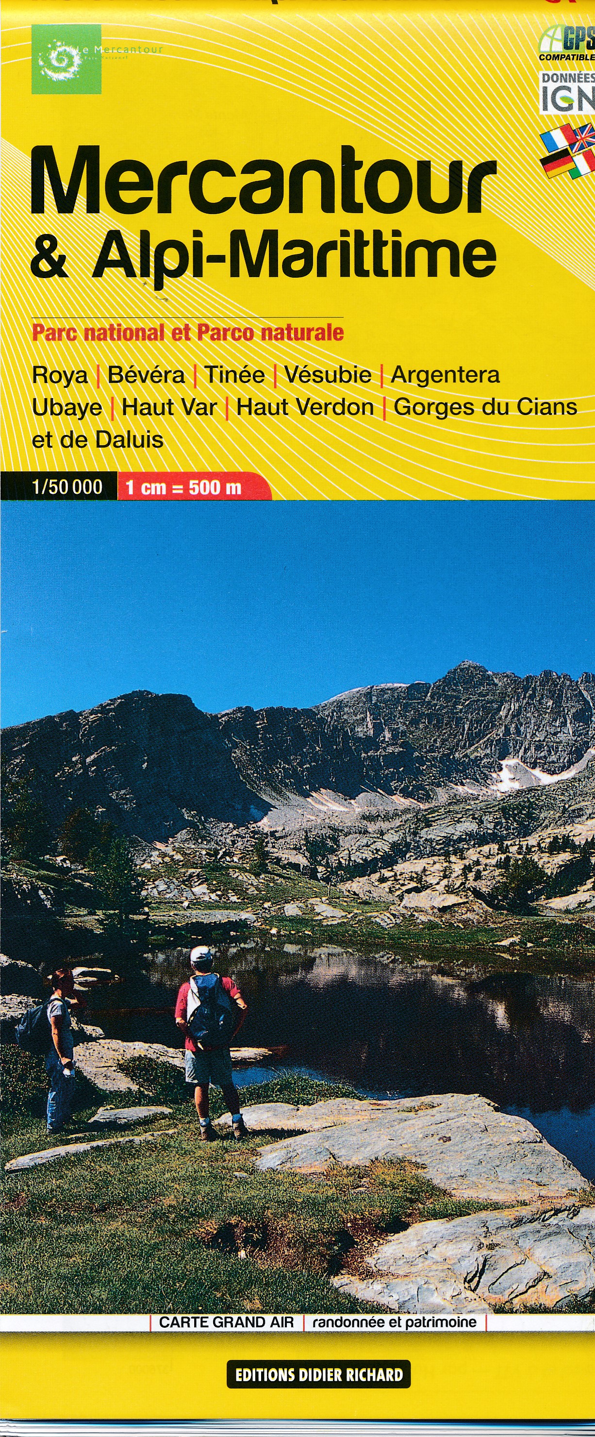
  • Mercantour & Alpi-Marittime Didier Richard 07
  • Mercantour National Park and the Maritime Alps on a large, double-sided, contoured and GPS compatible map from Editions Didier Richard highlighting local walking trails and long-distance hiking routes including the GR5. Coverage extends from well north of Col de Larch to Sospel, Levens and Roquestéron in the mountains north of the French... Read more
» Click to close
De Zwerver
Netherlands
» Click to open
Stanfords
United Kingdom
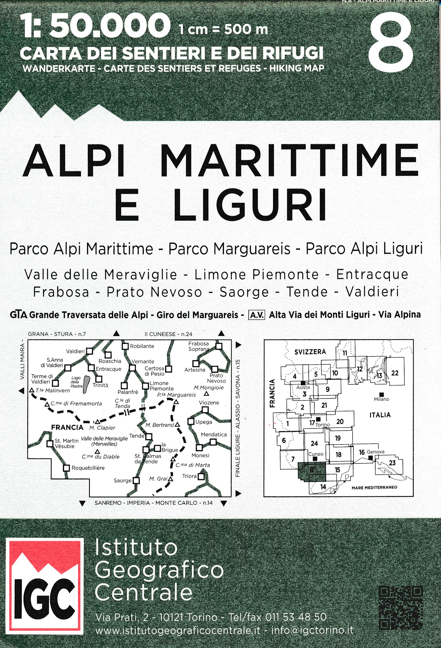
  • Maritime and Ligurian Alps IGC 8
  • A cross-border area of the Maritime and Ligurian Alps at 1:50,000, with coverage on the Italian side including Limone, Alpi Maritime PN and Alta Valle Pesio e Tanaro PN, plus in France Tende, Vallée des Merveilles and Saorge, in a series contoured hiking maps with local trails, long-distance footpaths, mountain accommodation, etc. from the... Read more
» Click to close