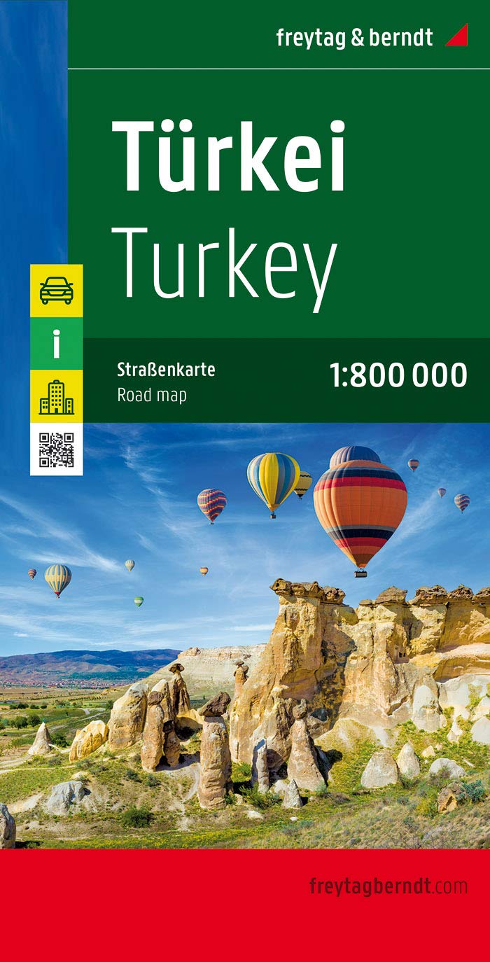
Türkei 1 : 800 000. Autokarte ab 10.9 EURO Cityplan, Touristische Informationen, Ortsregister. Ideal für Autofahrer und Urlauber, Informationss Freytag & Berndt Autokarte. Neuauflage, Laufzeit bis 2016Read more
Geplastificeerde trekking map, goede cartografie, van de omgevingen van Mount Ararat, het Kaçkar massief en Mount Süphan (ten noorden van het meer van Van). Diverse routes ingetekend.Read more
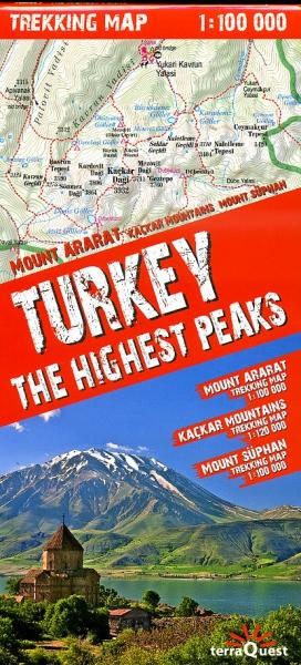
Three of Turkey’s most popular trekking regions: Mount Ararat, Kaçkar Mountains and Mount Süpan on a durable, waterproof and tear-resistant map from terraQuest, plus an overview road map of the eastern part of the country. On one side is a map the Kaçkar Mountains at 1:120,000 covering an area from Ipsir to Artvin and northwards to Ikizdere and...Read more
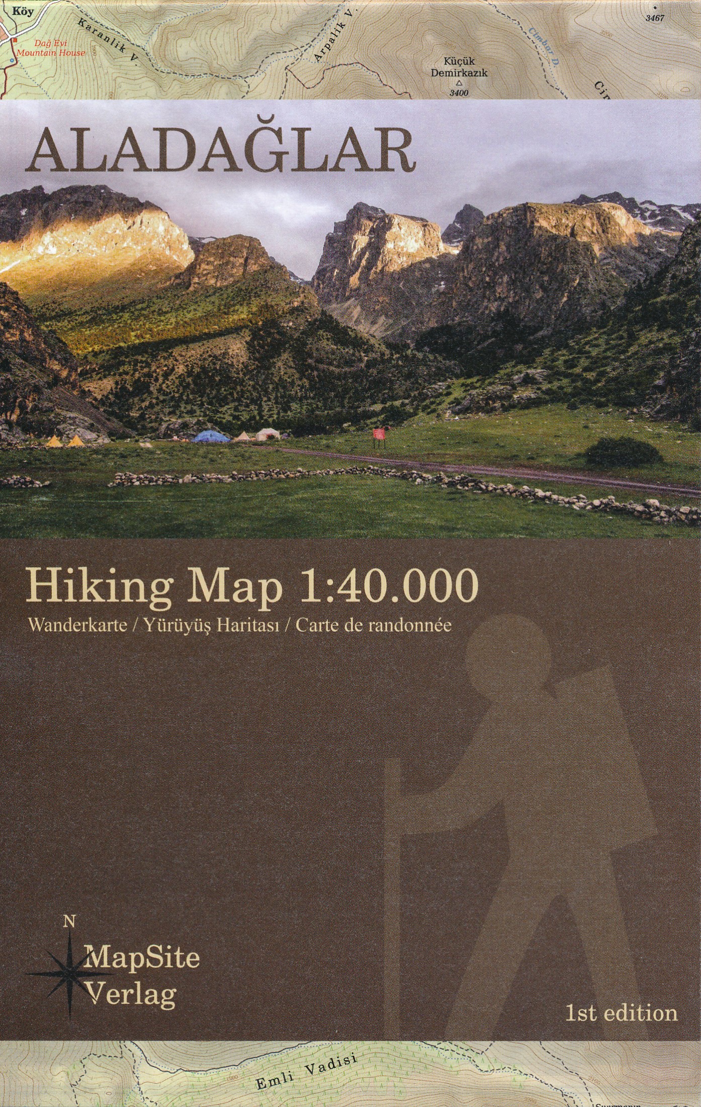
Goede gedetailleerde wandelkaart van dit specifieke gebied in centraal Turkije. Deze kaart is ook de gebruiken als klimkaart. Veel wandelpaden staan ingeteknd op deze kaart, al dan niet gemarkeerd. ook is de meerdaagse bergtocht TA1 ingetekend. Met hoogtelijnen, reliëfschaduwing; symbolen voor campings en onderdak, bevoorrading, openbaar...Read more
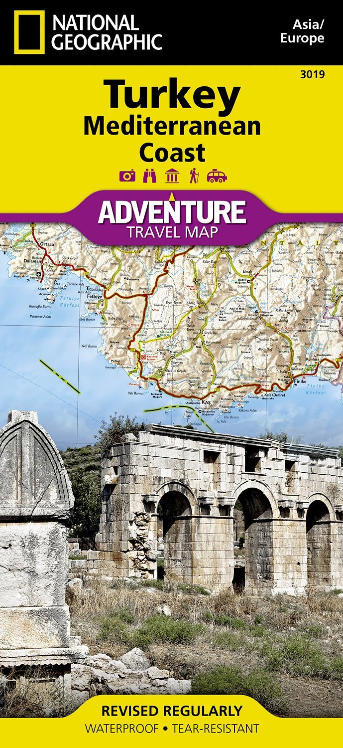
A set of two hiking maps for the western part of Lycia inclunding the Lycian Way. A scale of 1:50.000, hillshading, contous with a equidistance of 25m and a UTM-Grid (for GPS-usage) etc. makes this maps to an ideal guide for visitors and those, who walk the Lycian Way.Read more
Plans included: Approaches to Psara (Nisos Psara) (1:15,000) Approaches to Khios (Nisos Khios) (1:20,000) Ormos Mandraki (Nisos Oinoussa) (1:8,000) Cesme Korfezi (Turkey) (1:18,000) Foca Limani (Turkey) (1:20,000) Sigacik Limani (Turkey) (1:18,000) On this 2013 edition full details of the new TSS schemes are shown at Izmir Korfezi, Candarli...Read more
Imray’s series of charts of Greece and Turkey are comprehensive and easy-to-use sailing charts published on rip-proof, waterproof paper- ideal for use on small tables or in cockpits. They show detailed coastline and depth information, and are constantly corrected to reflect latest information. Designed primarily for yachtsmen, they are...Read more
Germany Road Atlas at 1:300,000 from MairDumont in an A4 spiral-bound format, with 10 enlargements at 1:100,000 showing the Ruhr and other large urban conurbations in greater detail, street plans of 35 main cities, mapping of Europe for route planning, etc. A special feature of MairDumont’s range of “Marco Polo” maps and atlases is a set of...Read more
A set of two hiking maps for the western part of Lycia inclunding the Lycian Way. A scale of 1:50.000, hillshading, contous with a equidistance of 25m and a UTM-Grid (for GPS-usage) etc. makes this maps to an ideal guide for visitors and those, who walk the Lycian Way.Read more