Stanfords
United Kingdom
2015
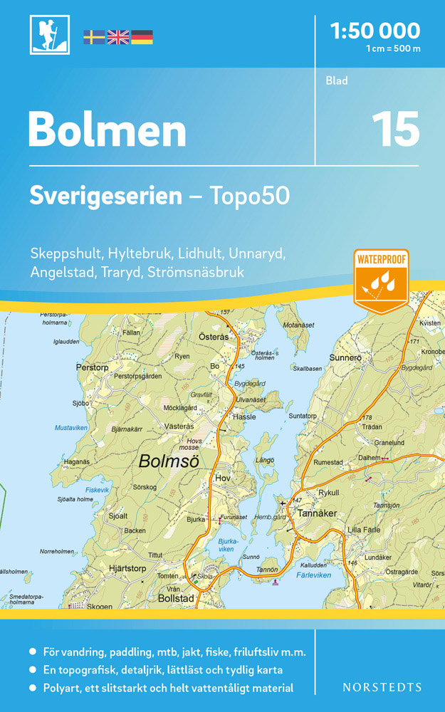
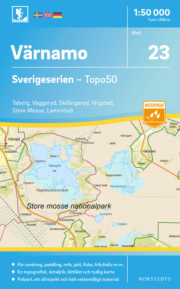
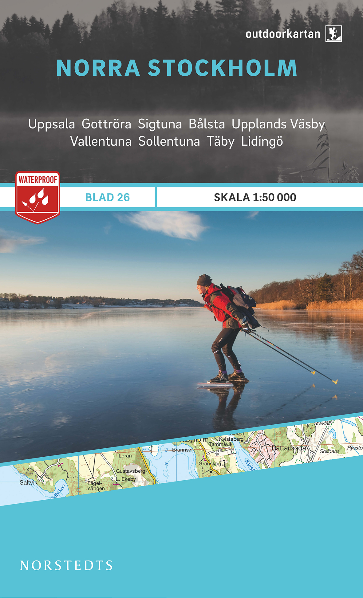
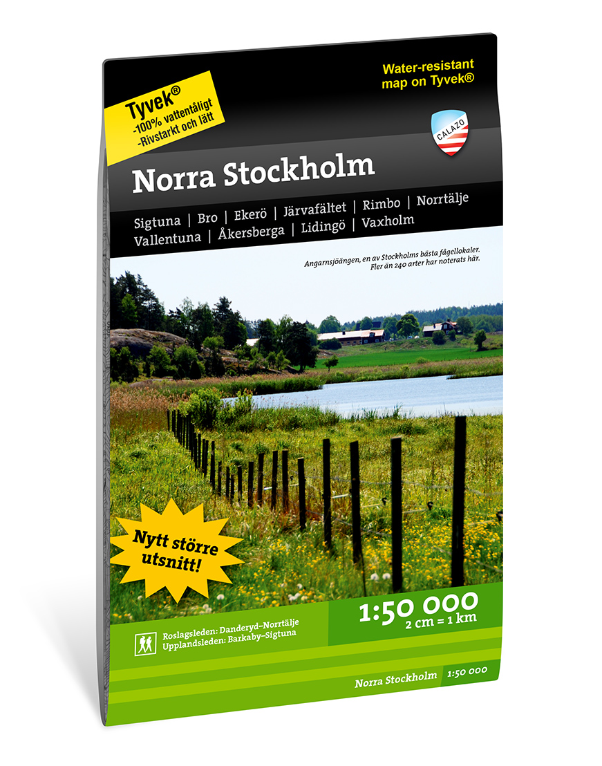
- North Stockholm
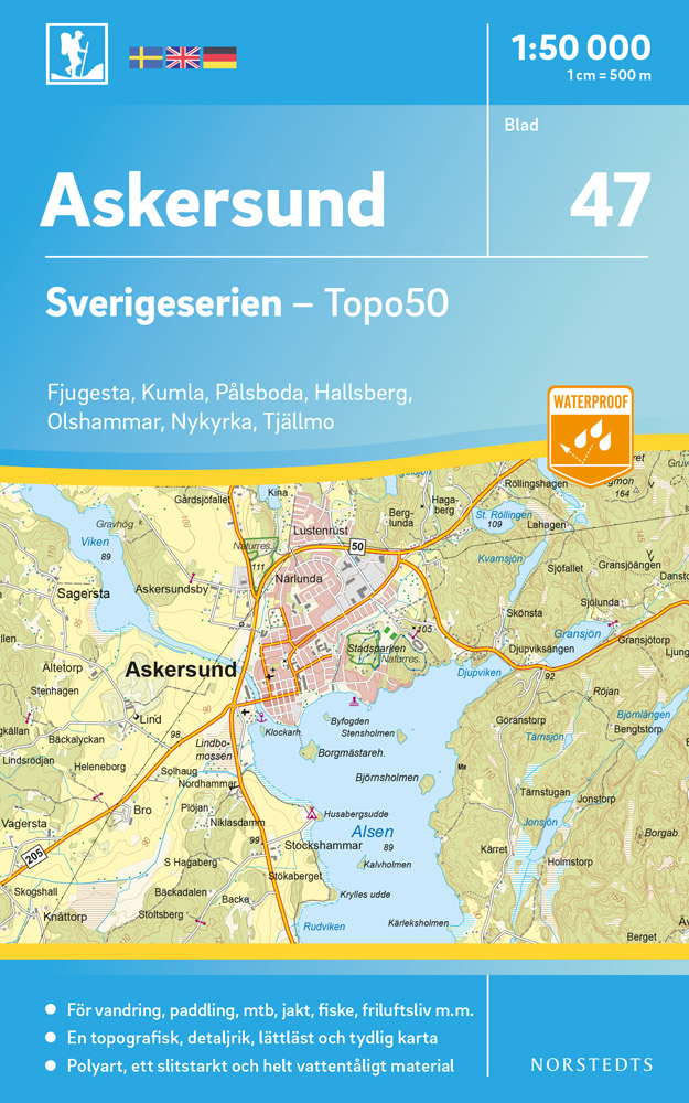
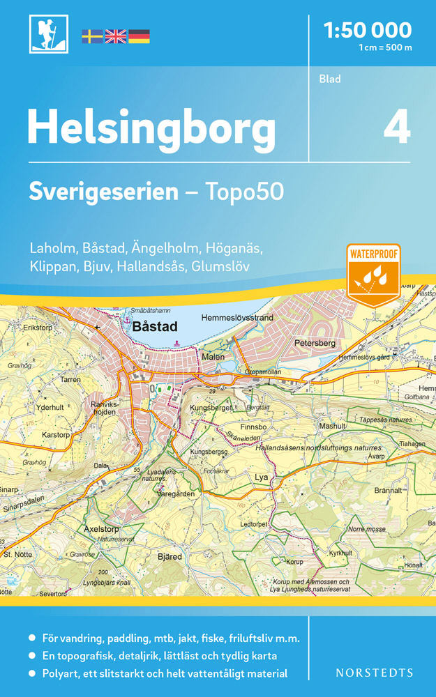
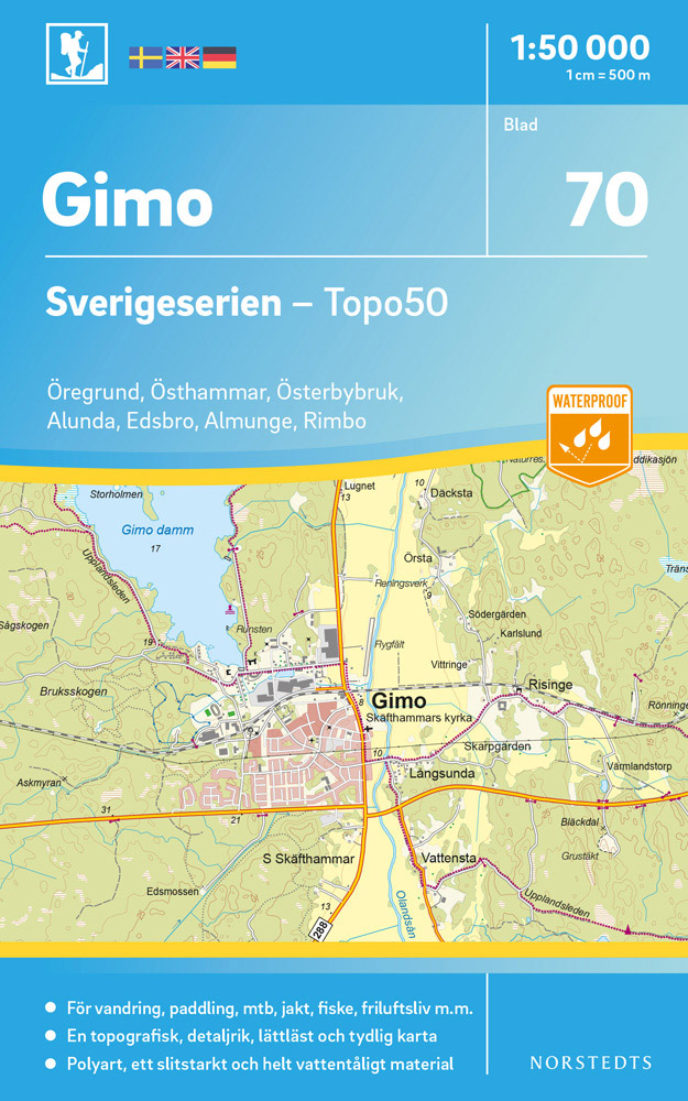
- This map of North Stockholm in 1:50,000 is part of a series of topographic maps from Norstedts Kartforlaget which includes 28 outdoor maps covering the mountain areas and popular recreation areas in southern Sweden. The maps in this series have a new look and are printed on a durable and water resistant paper. Cartography, material and printing... Read more