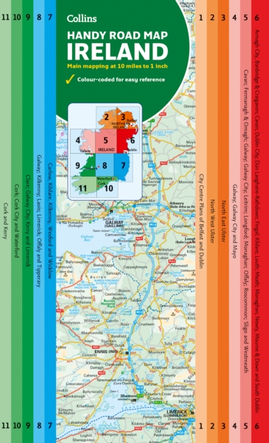
Grossbritannien / Great Britain 1 : 800 000 ab 9.9 EURO Scotland and Northern Ireland, England and Wales, Channel Crossings Borch Map. 13. AuflageRead more
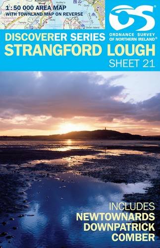
Strangford Lough, map No. 21 in the Discoverer series from the Ordnance Survey of Northern Ireland presenting the country on detailed topographic maps at 1:50,000 with waymarked hiking trails, Sustrans National Cycle Network and other tourist information. Coverage includes Newtownards, Downpatrick and Comber. Current edition E; publication date...Read more
Strangford Lough, map No. 21 in the Discoverer series from the Ordnance Survey of Northern Ireland presenting the country on detailed topographic maps at 1:50,000 with waymarked hiking trails, Sustrans National Cycle Network and other tourist information. Coverage includes Newtownards, Downpatrick and Comber. Current edition E; publication date...Read more
Zeer gedetailleerde topografische kaart met een aantal toegevoegde toeristische symbolen voor bijv. bezienswaardigheden, campings en jeugdherbergen. Met hoogtelijnen, mooi kleurgebruik en ingetekende lange-afstands-wandelroutes. Op deze kaart zijn de nationale parken en de 'national reserves ' uitstekend te vinden. De kaart is dus zowel voor de...Read more