The Book Depository
United Kingdom
2015
United Kingdom
2015
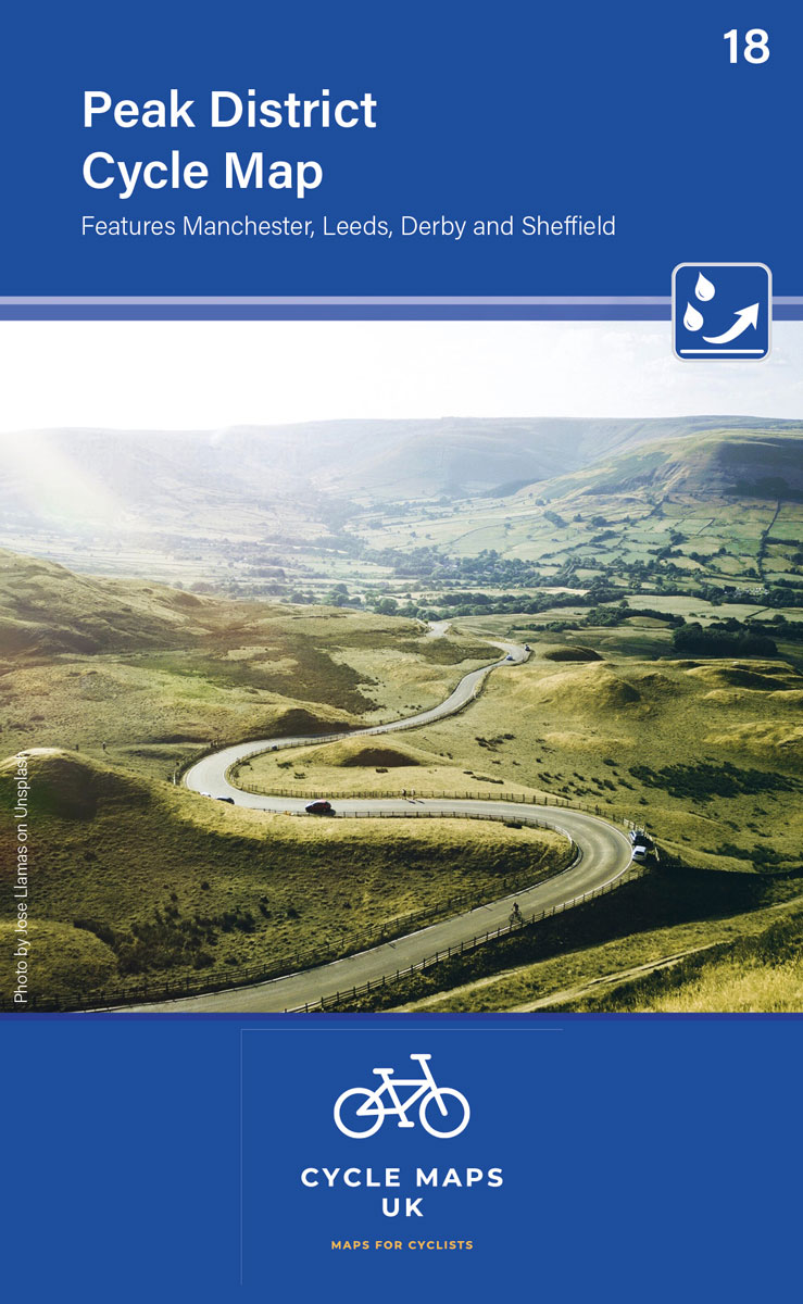
- Peak District Central XT25
- The central part of the Peak District at 1:25,000 on a light, waterproof and tear-resistant, GPS compatible, double-sided map from Harvey Map Services in their Superwalker series. Coverage extends from west of New Mills and Whaley Bridge in the west to Sheffield and from the Derwent Reservoir in the north to Buxton, and includes... Read more
- Also available from:
- Stanfords, United Kingdom

Stanfords
United Kingdom
2015
United Kingdom
2015
- Peak District Central Harvey Superwalker XT25
- The central part of the Peak District at 1:25,000 on a light, waterproof and tear-resistant map from Harvey Map Services in their Superwalker series. Coverage extends from west of New Mills and Whaley Bridge in the west to Sheffield, and from the Derwent Reservoir in the north to Buxton, and includes Chapel-en-le-Firth, Castleton, Kinder Scout,... Read more