The Book Depository
United Kingdom
» Click to open
Stanfords
United Kingdom
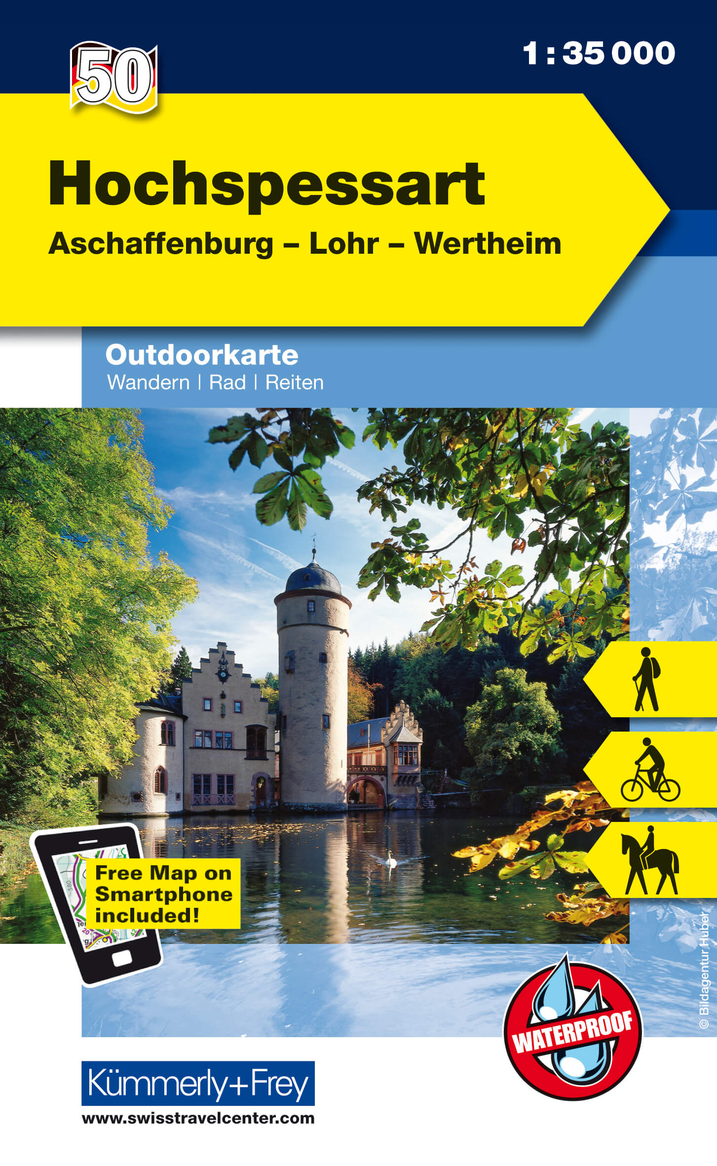
  • Hochspessart - Aschaffenburg - Lohr - Wertheim K+F Outdoor Map 50
  • Hochspessart - Aschaffenburg - Lohr - Wertheim area of Germany at 1:35,000 from Kümmerly+Frey in a series GPS compatible, double-sided maps printed on durable, waterproof and tear-resistant plastic paper; contoured, with hiking and cycle routes, other recreational activities, etc.Maps in this series are at a scale of either 1:50,000 or... Read more
» Click to close
The Book Depository
United Kingdom
» Click to open
De Zwerver
Netherlands
  • Wandelkaart 57 Outdoorkarte Hannover | Kümmerly & Frey
  • Hanover - Steinhuder Meer - Deister area in Germany at 1:50,000 from Kümmerly+Frey in a series GPS compatible, double-sided maps printed on durable, waterproof and tear-resistant plastic paper; contoured, with hiking and cycle routes, other recreational activities, etc.Maps in this series are at a scale of either 1:50,000 or 1:35,000. Contour... Read more
Stanfords
United Kingdom
  • Hanover - Steinhuder Meer - Deister K+F Outdoor Map 57
  • Hanover - Steinhuder Meer - Deister area in Germany at 1:50,000 from Kümmerly+Frey in a series GPS compatible, double-sided maps printed on durable, waterproof and tear-resistant plastic paper; contoured, with hiking and cycle routes, other recreational activities, etc.Maps in this series are at a scale of either 1:50,000 or 1:35,000. Contour... Read more
» Click to close
The Book Depository
United Kingdom
» Click to open
» Click to close
The Book Depository
United Kingdom
» Click to open
De Zwerver
Netherlands
  • Wandelkaart 53 Outdoorkarte Obere Donau | Kümmerly & Frey
  • Obere Donau - Baar - Donaueschingen area of south-western Germany at 1:35,000 from Kümmerly+Frey in a series GPS compatible, double-sided maps printed on durable, waterproof and tear-resistant plastic paper; contoured, with hiking and cycle routes, other recreational activities, etc.Maps in this series are at a scale of either 1:50,000 or... Read more
Stanfords
United Kingdom
  • Obere Donau - Baar - Donaueschingen K+F Outdoor Map 53
  • Obere Donau - Baar - Donaueschingen area of south-western Germany at 1:35,000 from Kümmerly+Frey in a series GPS compatible, double-sided maps printed on durable, waterproof and tear-resistant plastic paper; contoured, with hiking and cycle routes, other recreational activities, etc.Maps in this series are at a scale of either 1:50,000 or... Read more
» Click to close
De Zwerver
Netherlands
De Zwerver
Netherlands
De Zwerver
Netherlands
De Zwerver
Netherlands
De Zwerver
Netherlands
De Zwerver
Netherlands
2014
De Zwerver
Netherlands
2024
De Zwerver
Netherlands
De Zwerver
Netherlands
De Zwerver
Netherlands
De Zwerver
Netherlands