The Book Depository
United Kingdom
United Kingdom
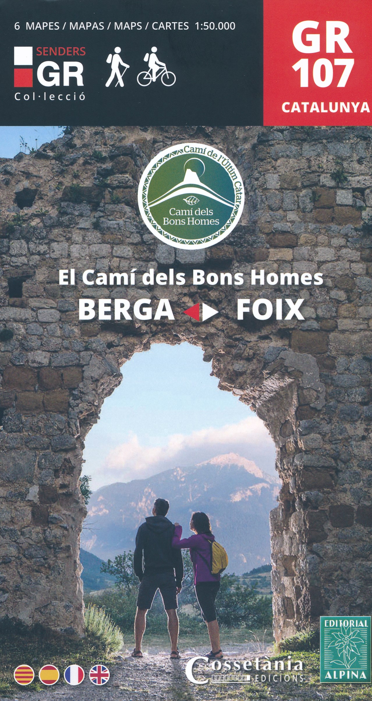
- El Cami dels Bons Homes / Trail of the Cathars GR107
- Uitstekende wandelkaart (in een set met 6 deelkaarten) van de GR107 die loopt van Foix in de Franse Pyreneeen tot Berga in de Catalaanse Pyreneeen. De kaarten zijn voldoende gedetailleerd om deze lange route te lopen. Met hoogteprofielen aan de zijkant, symbolen voor de noodzakelijke praktische informatie. Ruta a pie y en BTT, que recorre el... Read more
- Also available from:
- De Zwerver, Netherlands
- Stanfords, United Kingdom
De Zwerver
Netherlands
Netherlands
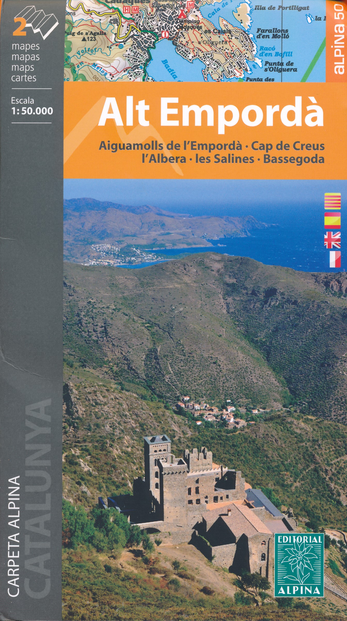
- Wandelkaart GR107 Berga - Foix , El Cami dels Bons Homes | Editorial Alpina
- Uitstekende wandelkaart (in een set met 6 deelkaarten) van de GR107 die loopt van Foix in de Franse Pyreneeen tot Berga in de Catalaanse Pyreneeen. De kaarten zijn voldoende gedetailleerd om deze lange route te lopen. Met hoogteprofielen aan de zijkant, symbolen voor de noodzakelijke praktische informatie. Ruta a pie y en BTT, que recorre el... Read more

Stanfords
United Kingdom
United Kingdom
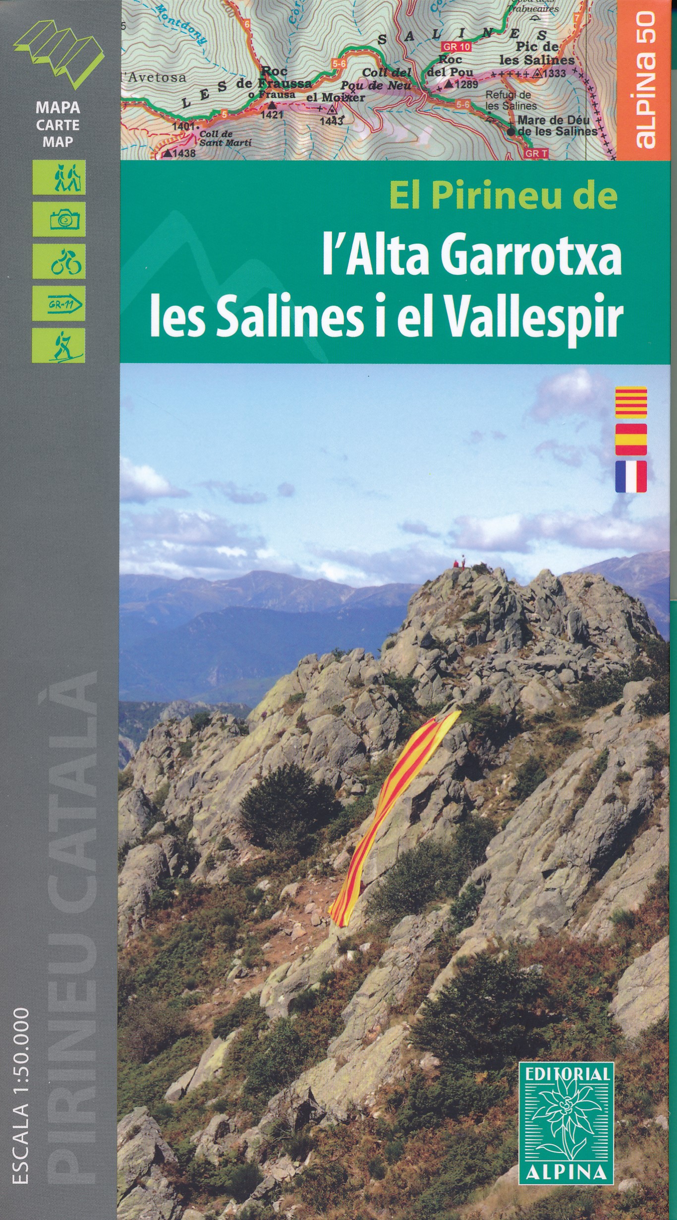
- The Trail of the Cathars GR107 Editorial Alpina 6-Map Set
- 6 maps at 1:50,000 of the Camí dels Bons Homes (GR 107), between Berga and Foix, suitable for both hiking and mountain bikingThe reverse of the maps contains details of each stage and useful suggestions to carry on this trans-Pyrenean crossing to this end in four languages (Catalan, Castellà, English and French). Read more