De Zwerver
Netherlands
Netherlands
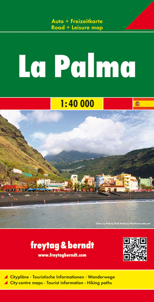
- Wandelkaart - Wegenkaart - landkaart La Palma | Freytag & Berndt
- Goede overzichtskaart van La Palma. Juist deze kaart is bij uitstek geschikt voor vele doeleinden. Zowel voor de auto als voor de aktieve vakantieganger goed. Overigens vinden wij dat de Freytag & Berndt kaarten van de Spaanse en Portugese eilanden iets meer gericht zjin op algemeen toerisme en iets minder op wandelen; voor wandelen raden we... Read more