The Book Depository
United Kingdom
2017
United Kingdom
2017
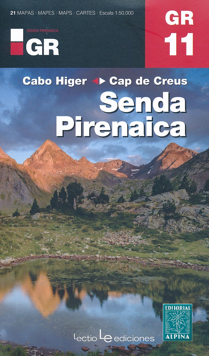
- Senda Pirenaica GR11 guide and map Cabo Higer - Cap de Creus 2017
- Set van 21 kaarten, schaal 1:50.000, met intekening van de GR11, de lange-afstandswandeling door de Spaanse Pyreneeën. Van kust tot kust, van Cabo Higuer (bij Irun) naar Cap de Creus (Costa Brava). Onderverdeeld in 43 trajecten. Met hoogteprofielen, gemiddelde looptijden, afstanden, locaties van berghutten, campings en hotels. Read more
- Also available from:
- De Zwerver, Netherlands
De Zwerver
Netherlands
2017
Netherlands
2017
- Wandelkaart Senda Pirenaica GR11 | Editorial Alpina
- Set van 21 kaarten, schaal 1:50.000, met intekening van de GR11, de lange-afstandswandeling door de Spaanse Pyreneeën. Van kust tot kust, van Cabo Higuer (bij Irun) naar Cap de Creus (Costa Brava). Onderverdeeld in 43 trajecten. Met hoogteprofielen, gemiddelde looptijden, afstanden, locaties van berghutten, campings en hotels. Read more