
Stanfords
United Kingdom
- Slovakia
- Slovakia on an indexed road map at 1:500,000 from the Budapest-based Cartographia, prominently highlighting interesting locations and national parks, plus an enlargement showing Tatra Mountain in greater detail and a street plan of central Bratislava. Coverage extends north to Kraków to cover the Polish side of the Tatras and their... Read more

Stanfords
United Kingdom
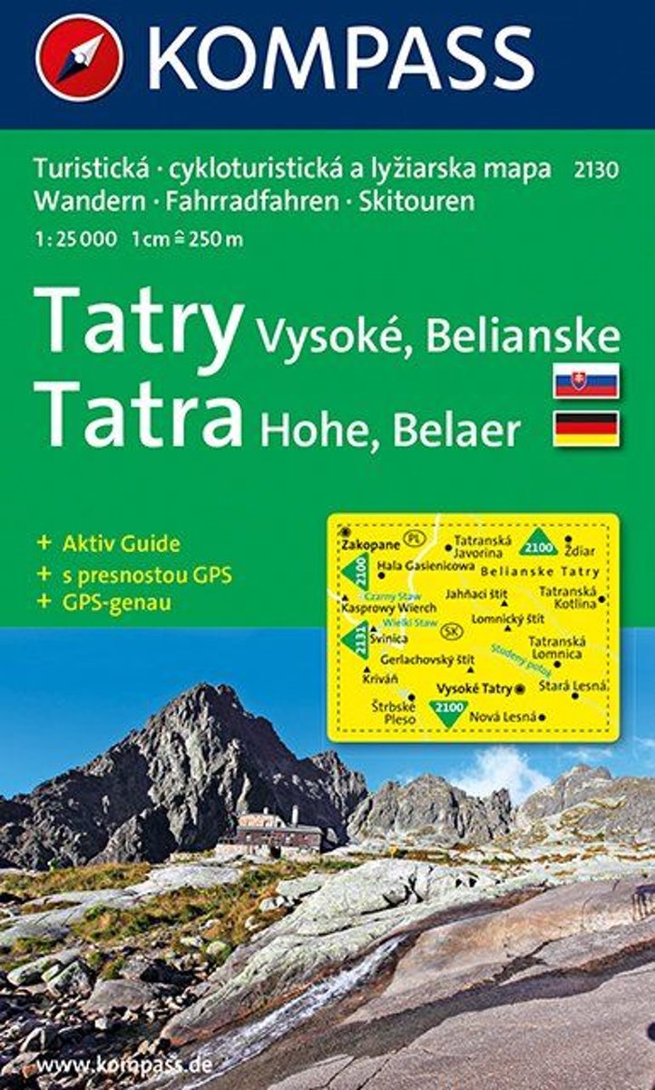
- High Tatras Kompass 2130
- One of the titles in a series of hiking maps of the Tatra Mountains and the adjoining areas of Slovakia, part of an extensive coverage of hiking areas of Central Europe from Kompass , the largest publishers of walking maps. The maps have shading and graphic relief, with contours at 40m intervals on the 1;50,000 maps and at 20m intervals in the... Read more
Bol.com
Netherlands
- Kompass WK2130 Hoge Tatra
- Een gedetailleerde kaart van de Hoge Tatra, ideaal voor het uitstippelen van wandel- en fietsroutes en om onderweg te gebruiken • goed leesbare kaart met heel veel topografische details • duidelijke symbolen maken de kaart extra overzichtelijk • wandel- en fietsroutes zijn aangegeven • praktische informatie over de regio • bruikbaar met GPS •... Read more
Bol.com
Belgium
- Kompass WK2130 Hoge Tatra
- Een gedetailleerde kaart van de Hoge Tatra, ideaal voor het uitstippelen van wandel- en fietsroutes en om onderweg te gebruiken • goed leesbare kaart met heel veel topografische details • duidelijke symbolen maken de kaart extra overzichtelijk • wandel- en fietsroutes zijn aangegeven • praktische informatie over de regio • bruikbaar met GPS •... Read more