De Zwerver
Netherlands
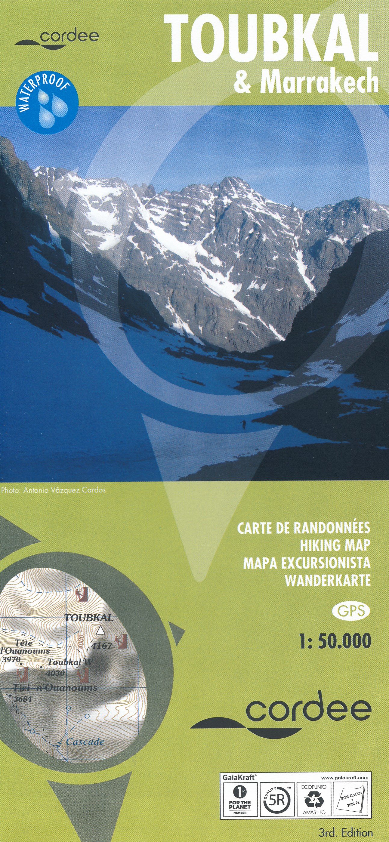
- Wandelkaart Toubkal & Marrakech | Cordee
- Een uitstekende (geplastificeerde) wandelkaart (1:50.000) van de omgeving van de Toubkal. Uitermate geschikt voor de beklimming en aansluitende trektocht. Met op de achterkant een stadsplattegrond van Marrakech. A detailed, accurate and up-to-date trekking map of Jebel Toubkal in the High Atlas mountains of Morocco, the highest peak in North... Read more
De Zwerver
Netherlands
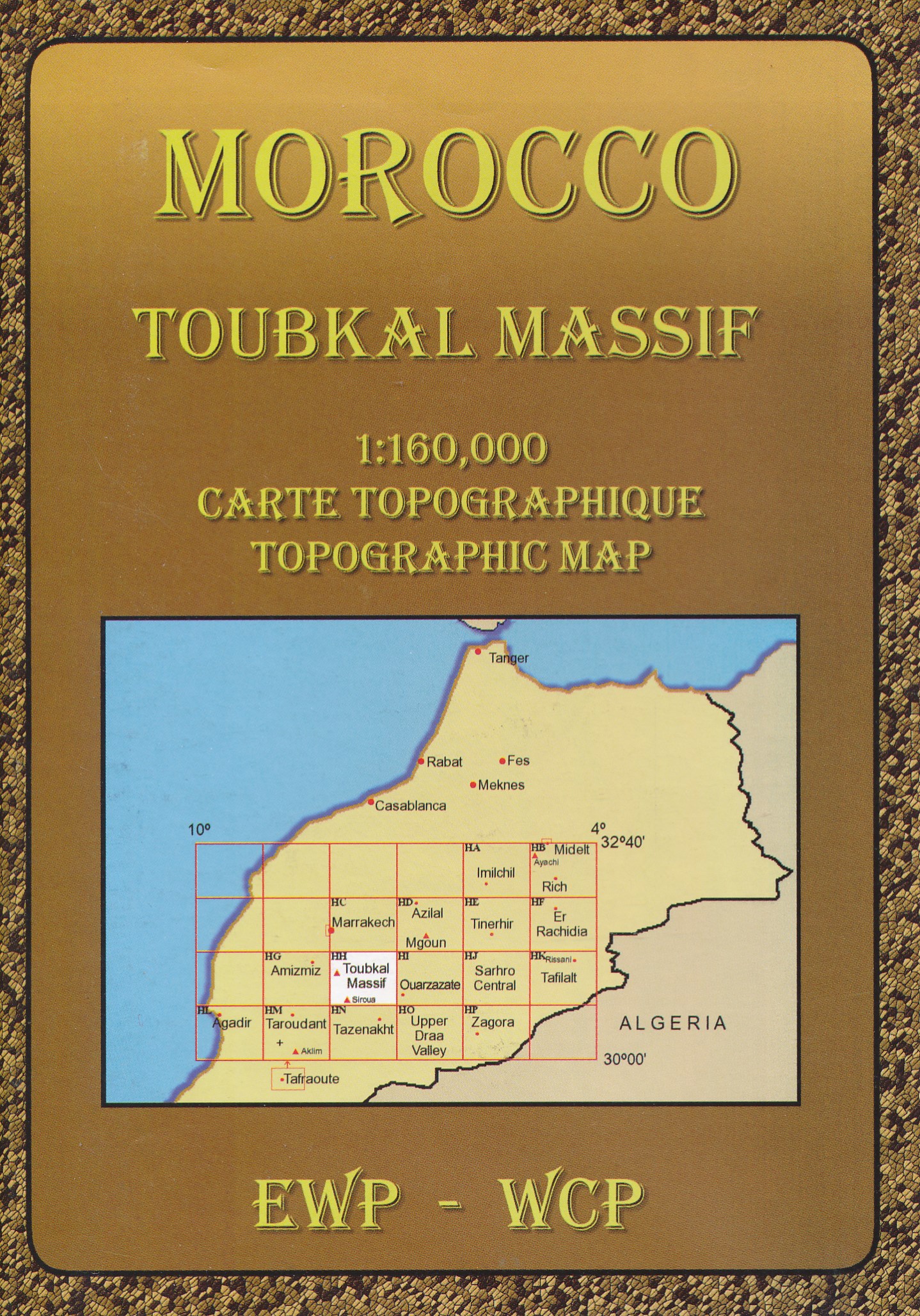
- Wandelkaart HH Toubkal Massif (Marokko) | EWP
- Deze kaart maakt deel uit van meerdere gedetailleerde topografische kaarten van het Atlas Gebergte en de daaraan grenzende woestijnen. Elke kaart heeft lokale toeristische info op de achterzijde. Hoogte in hoogtelijnen met 40m interval en een aantal punten. Verdere vermelding van terreinsoort, vegetatie, waterpunten, cliffen, duinen, ravijnen,... Read more
De Zwerver
Netherlands
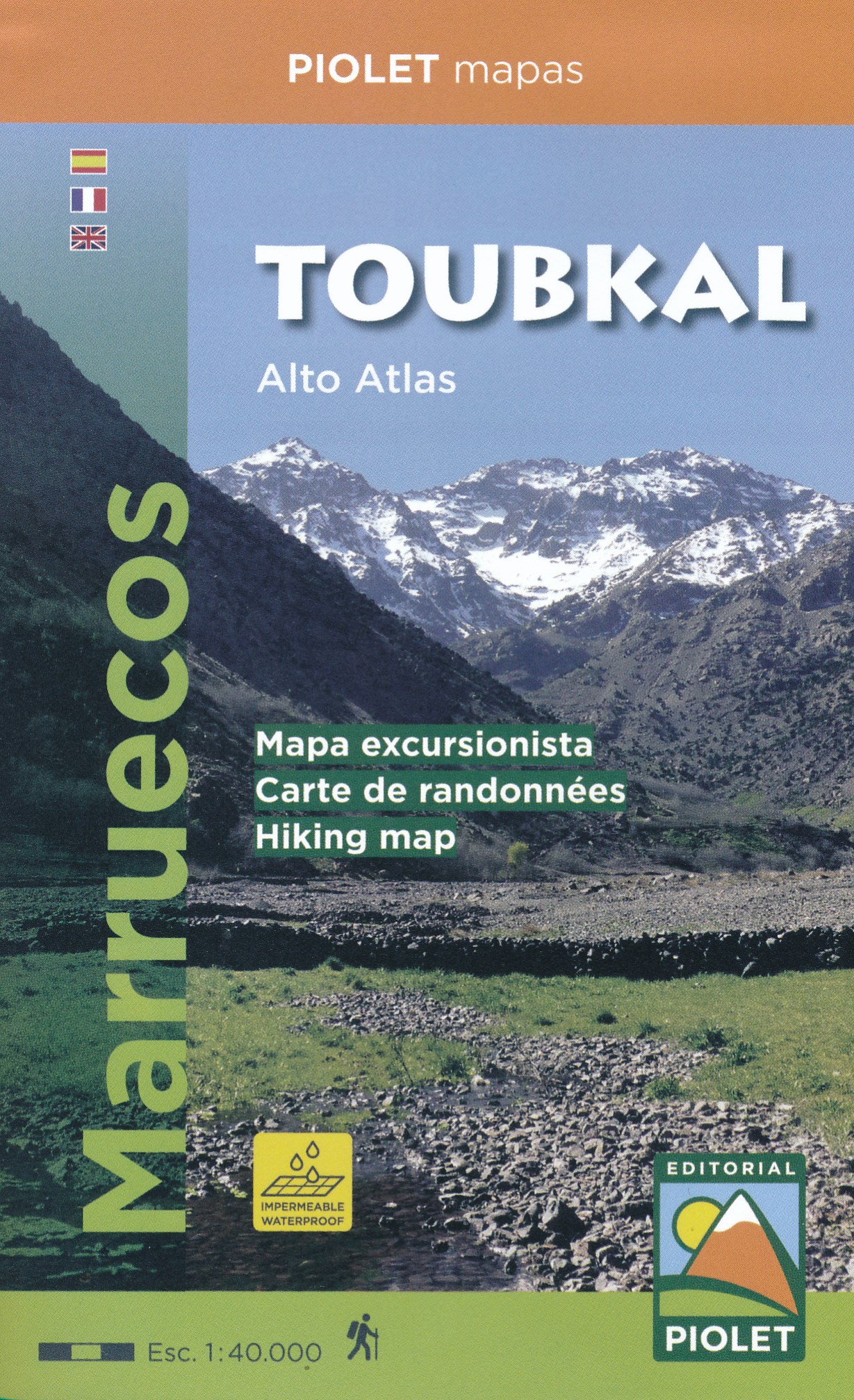
- Wandelkaart Toubkal, Hoge Atlas - Marokko | Editorial Piolet
- Uitstekende wandelkaart met veel topografische details op scheur- en watervast papier. O.a. hoogtelijnen, berghutten en wandelpaden zijn ingetekend. Geschikt voor GPS. 4 EDITION. Published in WATERPROOF (waterproof paper) 1:40.000 scale map of the area of Toubkal. Compatible with GPS. The area covered by the map is located mostly within the... Read more

Stanfords
United Kingdom
- Toubkal Editorial Piolet Hiking Map
- Jbel Toubkal and the surrounding area around Oukaïmeden and Imlil on a detailed, GPS compatible, contoured map at 1:40,000 from Editorial Piolet printed on light, waterproof and tear-resistant plastic paper.Contours at 20m intervals with bold relief shading present the topography. The map shows local roads, track and trails, including the... Read more

Stanfords
United Kingdom
- Toubkal Hiking Map & Marrakech Street Plan
- Jbel Toubkal and the surrounding area on a hiking map at 1:50,000, with on the reverse a detailed street plan of central Marrakesh, including its Medina, printed on light, waterproof and treat-resistant synthetic paper.On one side is a detailed topographic map at 1:50,000 centred on the village of Imelil, about 8km north of Toubkal, covering an... Read more