De Zwerver
Netherlands
Netherlands
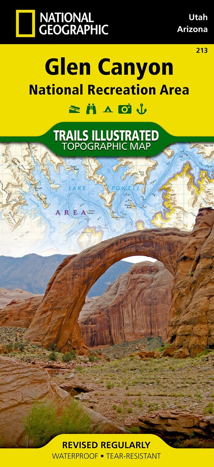
- Wandelkaart - Topografische kaart 213 Glen Canyon National Recreation Area | National Geographic
- Prachtige geplastificeerde kaart van het nationaal park. Met alle recreatieve voorzieningen als campsites, maar ook met topografische details en wandelroutes ed. Door uitgekiend kleurgebruik zeer prettig in gebruik. Scheur en watervast! Our Glen Canyon NRA and Rainbow Bridge NM Trails Illustrated map provides detailed topographic coverage,... Read more
- Also available from:
- Stanfords, United Kingdom

Stanfords
United Kingdom
United Kingdom
- Glen Canyon NRA - Capitol Reef NP UT/AZ
- Map No. 213, Glen Canyon National Recreation Area/Capitol Reef National Park, UT/AZ, in an extensive series of GPS compatible, contoured hiking maps of USA’s national and state parks or forests and other popular recreational areas. Cartography based on the national topographic survey, with additional tourist information.The maps, with most... Read more