The Book Depository
United Kingdom
United Kingdom
- Rhodes
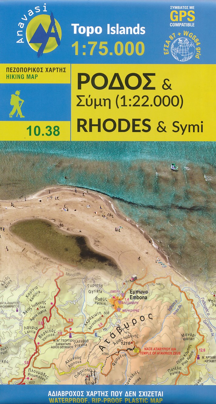
- Rhodes at 1:75,000 on a contoured, GPS compatible map from a wide coverage of the Greek islands by Anavasi, printed on light, waterproof and tear-resistant plastic paper, with a street plan of a street plan of the Old Town, hiking suggestions, etc.The map has contours at 100m intervals with additional altitude colouring and plenty of names of... Read more
- Also available from:
- De Zwerver, Netherlands
- Stanfords, United Kingdom
De Zwerver
Netherlands
Netherlands
- Wandelkaart 10.38 Rhodos - Rhodes & Symi | Anavasi
- Rhodes at 1:75,000 on a contoured, GPS compatible map from a wide coverage of the Greek islands by Anavasi, printed on light, waterproof and tear-resistant plastic paper, with a street plan of a street plan of the Old Town, hiking suggestions, etc.The map has contours at 100m intervals with additional altitude colouring and plenty of names of... Read more

Stanfords
United Kingdom
United Kingdom
- Rhodes & Symi Anavasi 10.38
- Rhodes at 1:75,000 on a contoured, GPS compatible map from a wide coverage of the Greek islands by Anavasi, printed on light, waterproof and tear-resistant synthetic paper, with a street plan of a street plan of the Old Town, hiking suggestions, etc.The map has contours at 100m intervals with additional altitude colouring and plenty of names of... Read more