De Zwerver
Netherlands
De Zwerver
Netherlands
De Zwerver
Netherlands
De Zwerver
Netherlands
De Zwerver
Netherlands
De Zwerver
Netherlands
De Zwerver
Netherlands
De Zwerver
Netherlands

Stanfords
United Kingdom
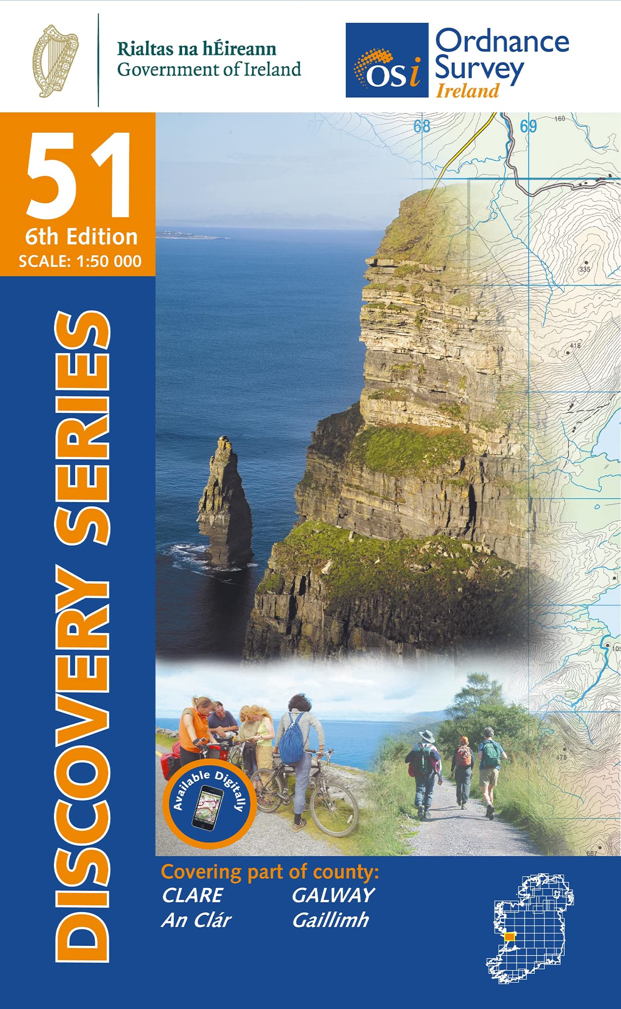
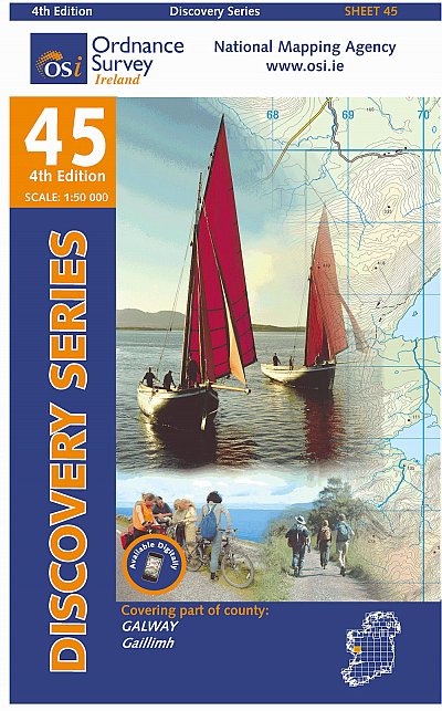
- Galway W OSI Discovery 44
- Map No. 44, Galway West in the Discovery series from the OSI, the Ordnance Survey of Ireland, which presents the country on detailed topographic maps at 1:50,000, with additional overprint highlighting campsites and caravan parks, youth hostels, etc. Current 4th edition of this map was published in January 2013.Maps in the Discovery series have... Read more
De Zwerver
Netherlands
De Zwerver
Netherlands
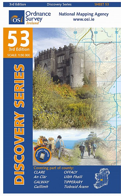
- Topografische kaart - Wandelkaart 53 Discovery Clare, Galway, Offaly, Tipperary | Ordnance Survey Ireland
- Map No. 53, Galway South-East - Offaly West - Tipperary North in the Discovery series from the OSI, the Ordnance Survey of Ireland, which presents the country on detailed topographic maps at 1:50,000, with additional overprint highlighting campsites and caravan parks, youth hostels, etc. Current 3rd edition of this map was published in October... Read more
De Zwerver
Netherlands

Stanfords
United Kingdom
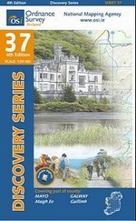
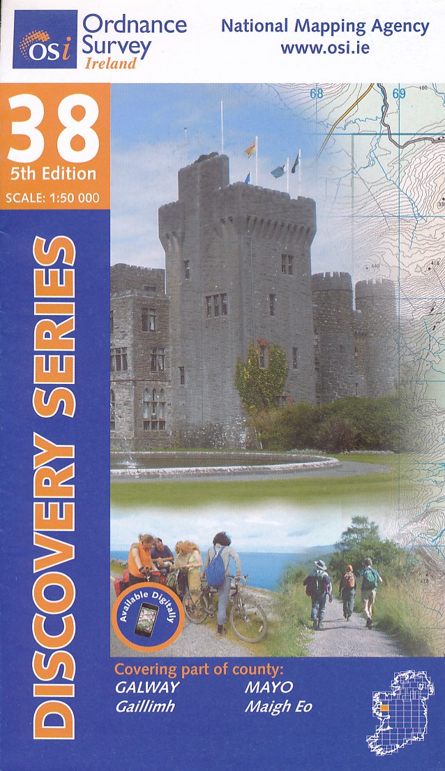
- Mayo SW - Galway NW OSI Discover 37
- Map No. 37, Mayo South-West - Galway North-West, in the Discovery series from the OSI, the Ordnance Survey of Ireland, which presents the country on detailed topographic maps at 1:50,000, with additional overprint highlighting campsites and caravan parks, youth hostels, etc. Current 5th edition of this title was published in summer 2015.Maps in... Read more

Stanfords
United Kingdom
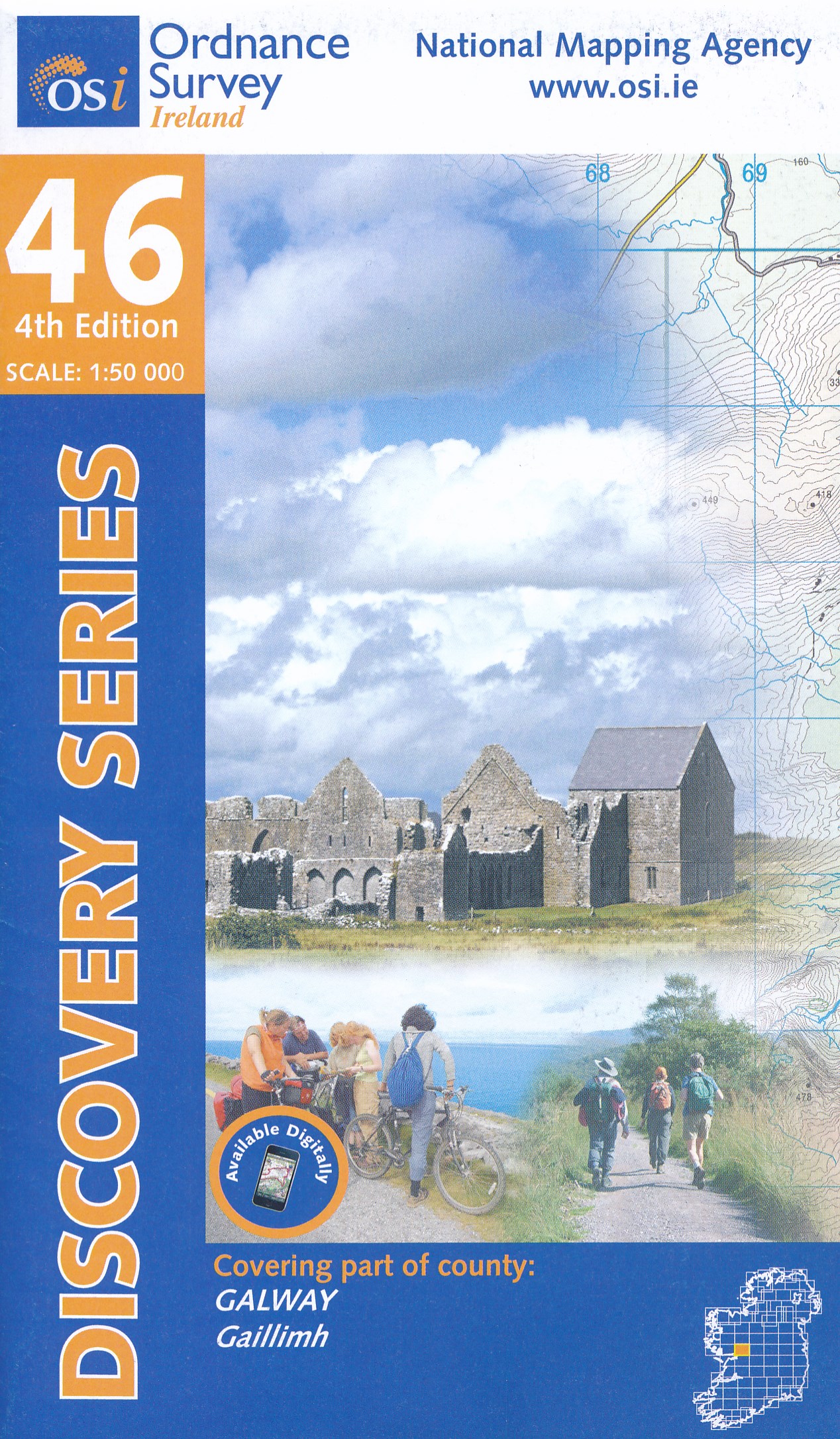
- Clare - Galway OSI Discovery 51
- Map No. 51, Clare North - Aran Islands in the Discovery series from the OSI, the Ordnance Survey of Ireland, which presents the country on detailed topographic maps at 1:50,000, with additional overprint highlighting campsites and caravan parks, youth hostels, etc. Current 5th edition of this map was published in 2015.Maps in the Discovery... Read more

Stanfords
United Kingdom
- C55 Dingle Bay to Galway Bay
- Plans included: Cashla Bay (1:30 000) Galway Bay (1:40 000) Galway Harbour (1:15 000) Kilronan (Aran Is.) (1:45 000) River Shannon to Limerick (1:110 000) Kilrush (1:30 000) Foynes Harbour (1:17 500) Fenit Island (1:35 000) Dingle Harbour (1:25 000) On this 2015 edition revised depths are shown throughout, in particular at Cashla Bay, Galway... Read more
Stanfords
United Kingdom
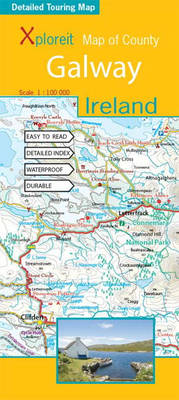
- Galway County
- Galway County at 1:100,000 in a series of double-sided, GPS-compatible maps from Xploreit Maps, with contours, altitude colouring, hiking trails and cycling routes, and printed on light, waterproof and tear-resistant plastic paper.Topography is shown by altitude colouring with contours (interval varies) and plenty of names of geographical... Read more