The Book Depository
United Kingdom
» Click to open
Stanfords
United Kingdom
  • Eastbourne & Beachy Head AA Walker`s Map 30
  • Eastbourne and Beachy Head at 1:25,000 in a series of Walker’s Maps published by the AA with the cartography from the Ordnance Survey’s Explorer series. Coverage includes Seven Sisters and the Cuckmere Haven, the start of the South Downs Way, Seaford, Newhaven, Alfriston, Firle, Glynde, Ringmer, Uckfield, Buxted, Heathfield, Herstmonceux,... Read more
» Click to close
The Book Depository
United Kingdom
2015
» Click to open
Stanfords
United Kingdom
2015
  • Peak District Central Harvey Superwalker XT25
  • The central part of the Peak District at 1:25,000 on a light, waterproof and tear-resistant map from Harvey Map Services in their Superwalker series. Coverage extends from west of New Mills and Whaley Bridge in the west to Sheffield, and from the Derwent Reservoir in the north to Buxton, and includes Chapel-en-le-Firth, Castleton, Kinder Scout,... Read more
» Click to close
The Book Depository
United Kingdom
» Click to open
De Zwerver
Netherlands
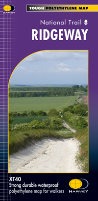
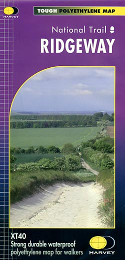
  • Wandelkaart - Fietskaart Ridgeway | Harvey Maps
  • The Ridgway, a 139km / 87 mile national trail from Overton Hill in Wiltshire to Ivinghoe Beacon in Buckinghamshire, presented at 1:40,000 on a light, waterproof and tear-resistant map from Harvey Map Services. The route is shown on six overlapping panels.Maps in the Harvey Read more
Stanfords
United Kingdom
  • Ridgeway Harvey National Trail XT40
  • The Ridgway, a 139km / 87 mile national trail from Overton Hill in Wiltshire to Ivinghoe Beacon in Buckinghamshire, presented at 1:40,000 on a light, waterproof and tear-resistant map from Harvey Map Services. The route is shown on six overlapping panels.Maps in the Harvey’s series covering Great Britain’s national trails and other... Read more
» Click to close
The Book Depository
United Kingdom
» Click to open
Stanfords
United Kingdom
  • St Oswald`s Way Harvey National Trail XT40
  • St Oswald`s Way, linking the Holy Island (Lindisfarne) and Hardian’s Wall, on a waterproof and tear-resistant map at 1:40,000 from Harvey Map Services presenting the route accompanied by extensive additional tourist information.Divided into seven panels, the route is shown on mapping with contours at 15m intervals enhanced by additional... Read more
» Click to close
The Book Depository
United Kingdom
» Click to open
Stanfords
United Kingdom
  • Lake District A-Z Adventure Atlas
  • The A-Z Adventure Series of maps combines the best of OS and A-Z, creating the perfect companion for walkers, off-road cyclists, horse riders and anyone wishing to explore the great outdoors.The Lake District is a National Park and a Unesco World Heritage Site in northwest England. It is a region rich in natural beauty with breathtaking views... Read more
» Click to close
The Book Depository
United Kingdom
» Click to open
Stanfords
United Kingdom
  • Exmoor AA Walker`s Map 13
  • Exmoor at 1:25,000 in a series of Walker’s Maps published by the AA with the cartography from the Ordnance Survey’s Explorer series. The map is double-sided and coverage includes the Exmoor National Park, Ilfracombe, Combe Martin, Lynton, Porlock, Minehead, Williton, Exford, Dulverton, Brayford, Barnstaple, etc.Maps in the AA Walker’s series... Read more
» Click to close
The Book Depository
United Kingdom
» Click to open
Stanfords
United Kingdom
  • The Cumbria Way
  • The waterproof Footprint map-guide to the Cumbria Way - the 73 mile (117km) route between Ulverstone and Carlisle. It generally follows well maintained paths and tracks through some of the Lake District`s finest scenery. This Footprint map is divided into 5 sections each portrayed on a separate panel. It is marked in miles, starting in... Read more
» Click to close
The Book Depository
United Kingdom
2019
» Click to open
De Zwerver
Netherlands
2019
  • Wandelkaart Hadrian's Wall | Harvey Maps
  • Een bijzonder handige kaart van dit lange-afstands-wandelpad. Op waterafstotend papier met veel details. Het enige dat je eigenlijk een beetje mist is een overzicht. Verder uitstekend en voldoende voor de route. Compact and light - the map itself weighs just 60gms - a third of the weight of a laminated map, and much less bulky. And you can fold... Read more
Stanfords
United Kingdom
2019
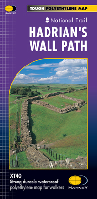
  • Hadrian`s Wall Path Harvey National Trail XT40
  • Hadrian’s Wall Path, a 135km / 84 mile national trail between Bowness-on-Solway and Wallsend on Tyne which for the greater part of its course shadows the historic line of the Roman wall, presented at 1:40,000 on a map from Harvey Map Services. The route is shown on seven panels, with enlargements for important sections with archaeological... Read more
» Click to close
The Book Depository
United Kingdom
The Book Depository
United Kingdom
2020
» Click to open
» Click to close
The Book Depository
United Kingdom
» Click to open
Stanfords
United Kingdom
  • North York Moors East 25K AA/OS Walker`s Map No. 12
  • The eastern part of the North Yorkshire Moors at 1:25,000 in a series of Walker’s Maps published by the AA with the cartography from the Ordnance Survey’s Explorer series. The map is double-sided and coverage includes the North Yorks Moors National Park, Scarborough, Robin Hood’s Bay, Whitby, Lythe, Staithes, Loftus, Goathland,... Read more
» Click to close
The Book Depository
United Kingdom
2016
» Click to open
De Zwerver
Netherlands
2016
Stanfords
United Kingdom
2016
» Click to close
The Book Depository
United Kingdom
» Click to open
De Zwerver
Netherlands
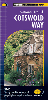
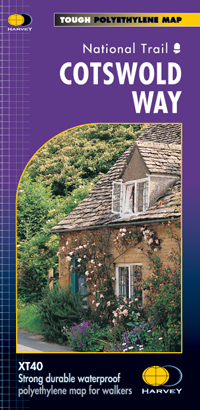
  • Wandelkaart Cotswold Way | Harvey Maps
  • The Cotswold Way, a 164km / 102 mile National Trail from Chipping Campden in the north to Bath in the south, presented at 1:40,000 on a light, waterproof and tear-resistant map from Harvey Map Services. The route is shown on nine panels, with additional small street plans of Chipping Campden and Bath.Maps in the Harvey Read more
Stanfords
United Kingdom
  • Cotswold Way Harvey National Trail XT40
  • The Cotswold Way, a 164km / 102 mile National Trail from Chipping Campden in the north to Bath in the south, presented at 1:40,000 on a light, waterproof and tear-resistant map from Harvey Map Services. The route is shown on nine panels, with additional small street plans of Chipping Campden and Bath.Maps in the Harvey’s series covering Great... Read more
» Click to close
The Book Depository
United Kingdom
» Click to open
De Zwerver
Netherlands
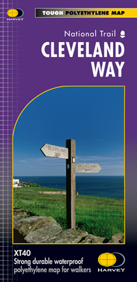
  • Wandelkaart Cleveland Way | Harvey Maps
  • Mooie, duidelijke kaart van de Cleveland Way in Noord-Engeland. Geplastificeerd met veel extra informatie en uitsnedes van de route. Leap forward in technical excellence. Tough, light and 100% waterproof Compact and light - the map itself weighs just 60gms - a third of the weight of a laminated map, and much less bulky. And you can fold or... Read more
Stanfords
United Kingdom
  • Cleveland Way Harvey National Trail XT40
  • Cleveland Way, established over 40 years ago as Britain’s second National Trail, presented at 1:40,000 on a GPS compatible, light, waterproof and tear-resistant map from Harvey Map Services. The 170km/109 miles route which starts in Helmsley, crosses the North York Moors National Park and sweeps southwards along the coast to Filey, is covered... Read more
» Click to close
The Book Depository
United Kingdom
2014
» Click to open
De Zwerver
Netherlands
2014
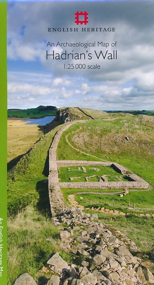
  • Historische Kaart An Archaeological Map of Hadrian's Wall | English Heritage
  • Hadrian’s Wall and the nearby archaeological Roman remains on a light, waterproof and tear-resistant map from the English Heritage with the base map from the Ordnance Survey 1:25,000 Explorer series.The map presents in six panels the whole course of the wall including its sections across the present day Newcastle, plus the adjoining area along... Read more
Stanfords
United Kingdom
2014
  • Hadrian`s Wall Archaeological Map
  • Hadrian’s Wall and the nearby archaeological Roman remains on a light, waterproof and tear-resistant map from the English Heritage with the base map from the Ordnance Survey 1:25,000 Explorer series.The map presents in six panels the whole course of the wall including its sections across the present day Newcastle, plus the adjoining area along... Read more
» Click to close