The Book Depository
United Kingdom
United Kingdom
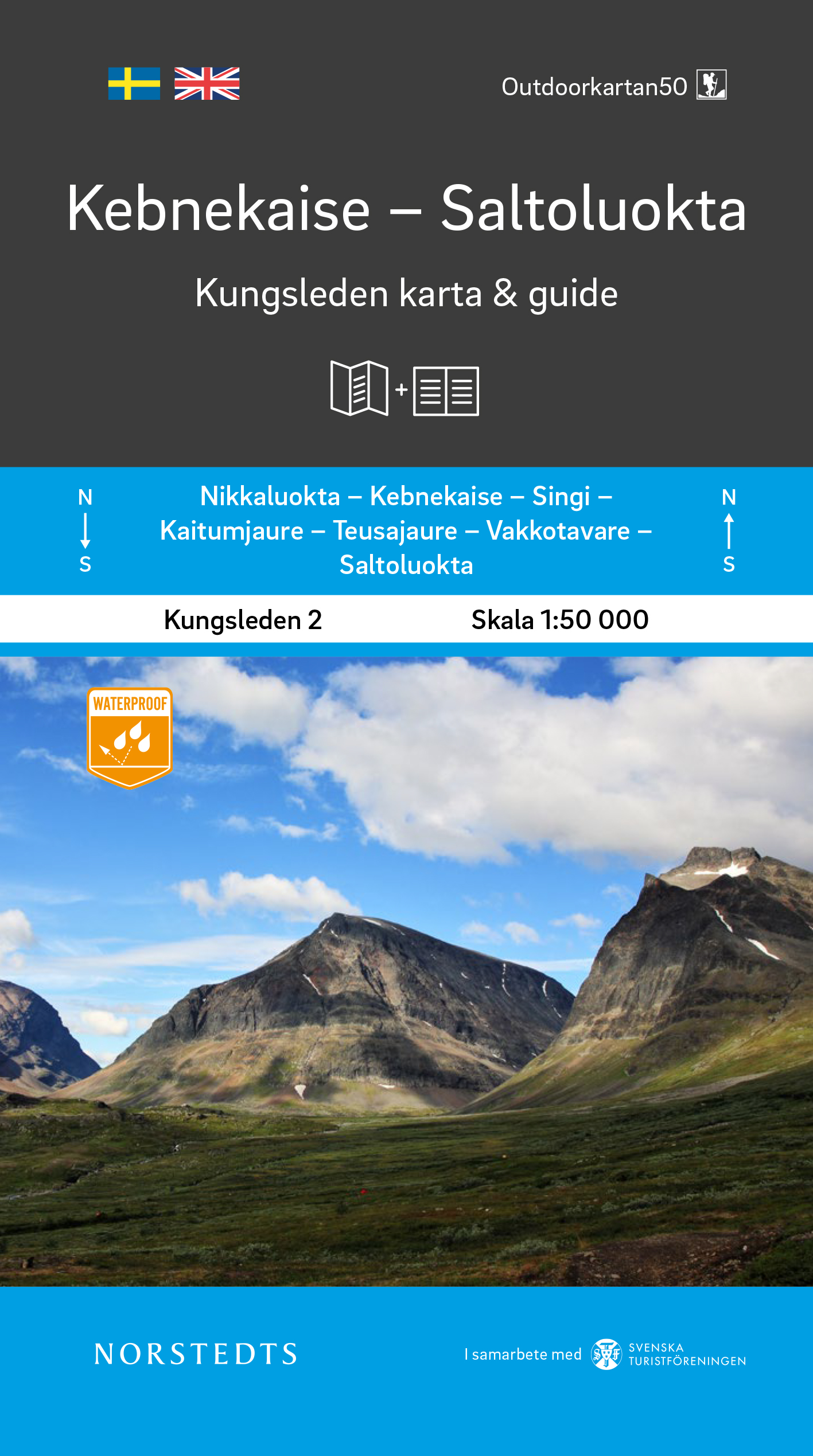
- Kebnekaise Saltoluokta Kungsleden 2 map + guide
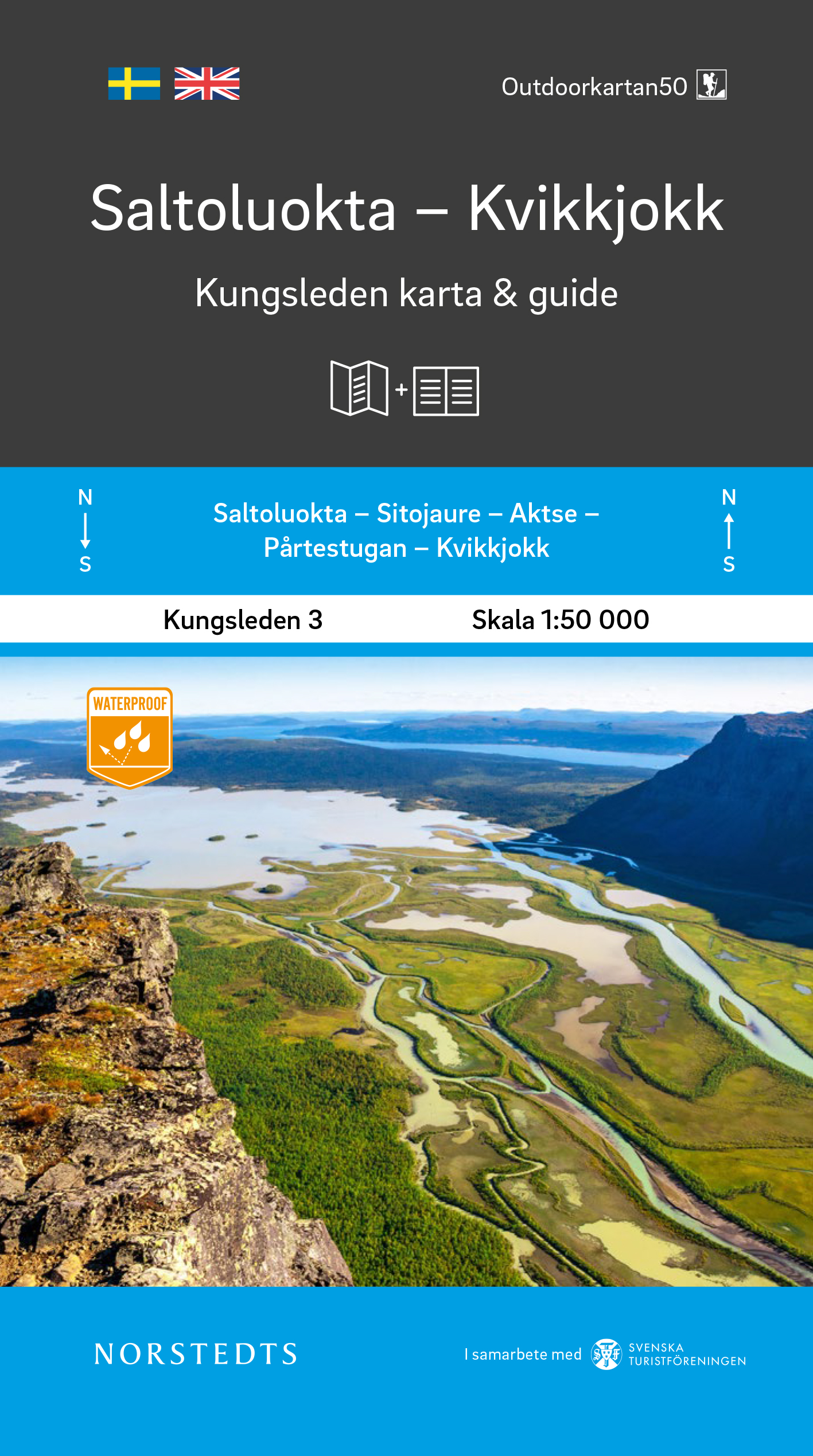
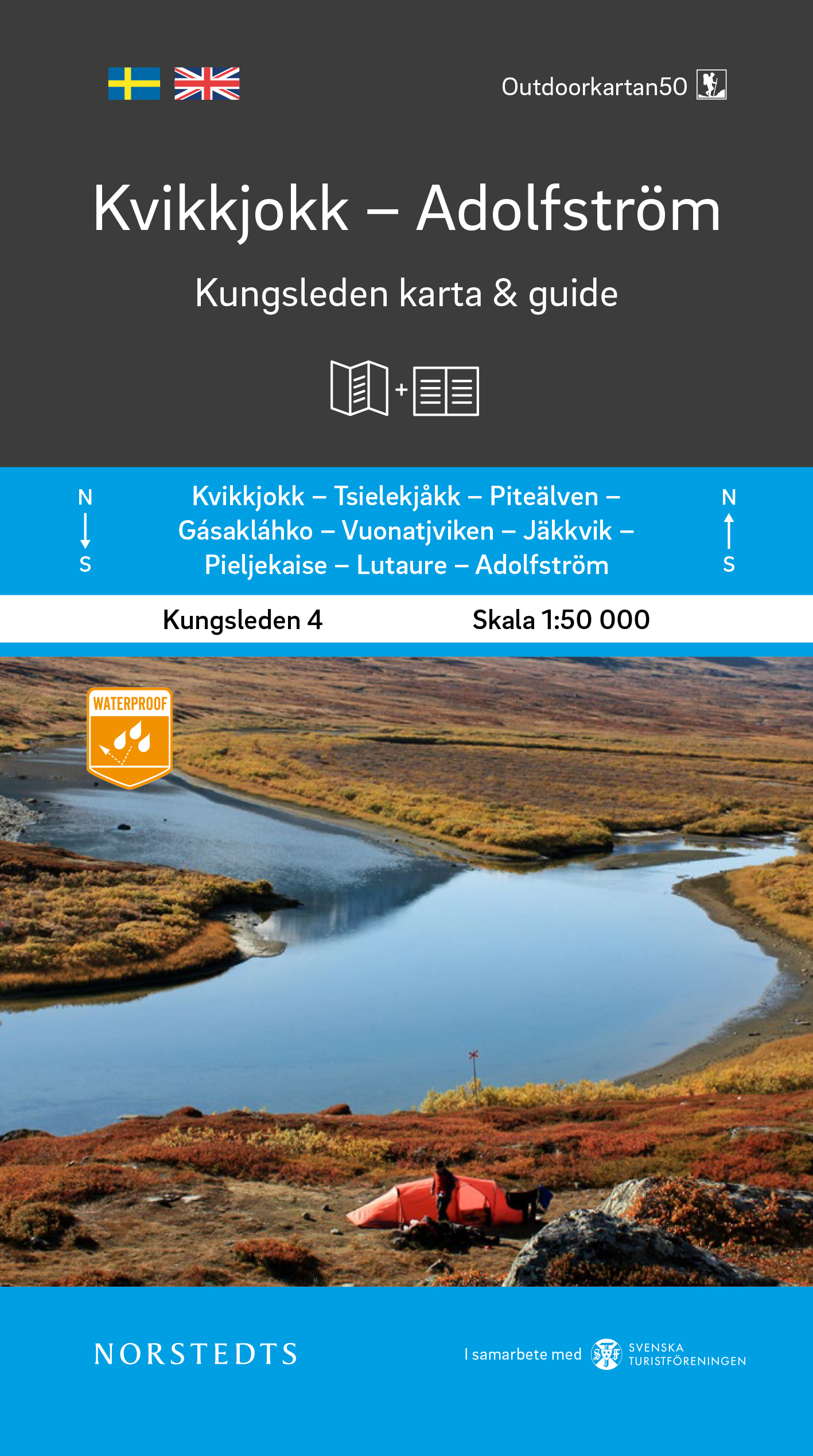
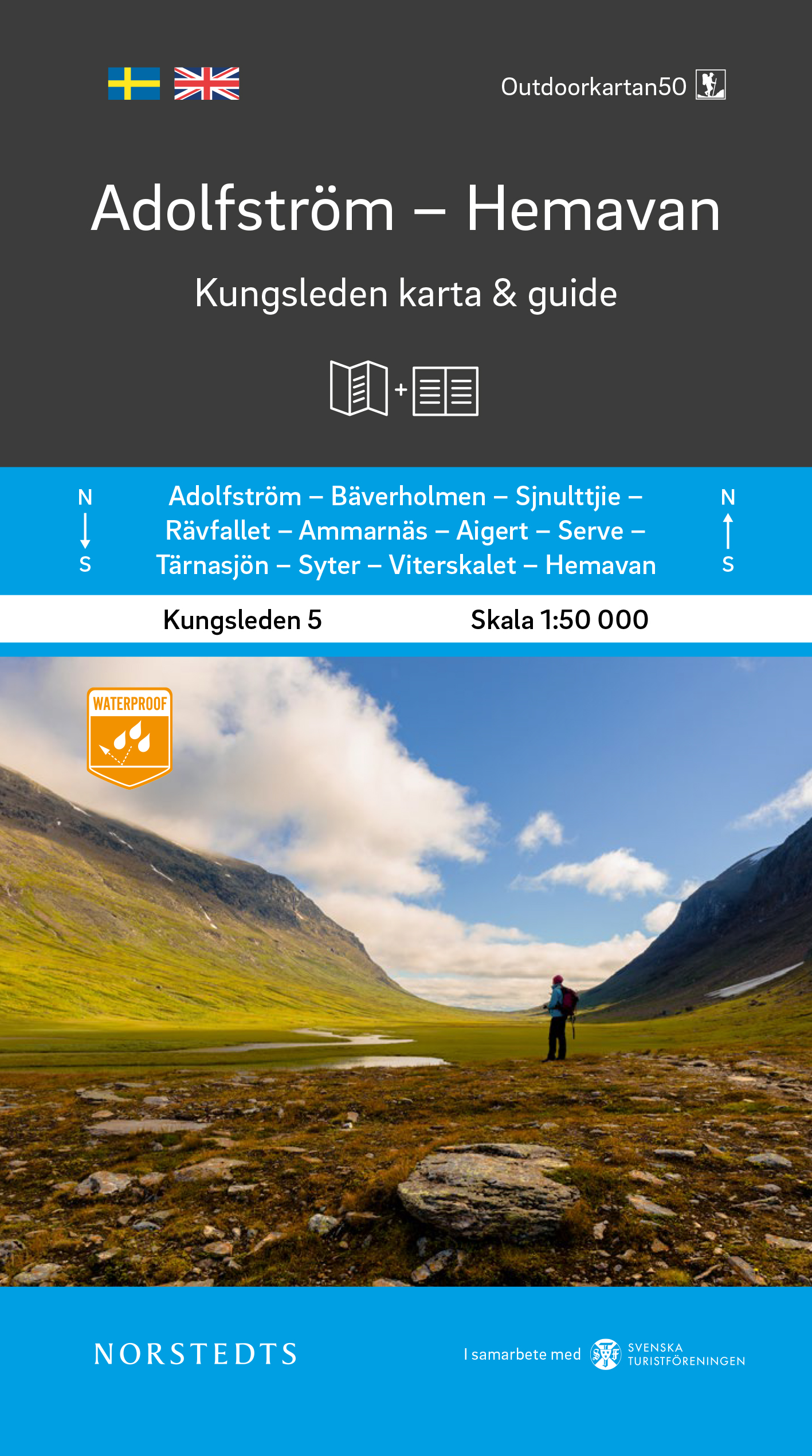
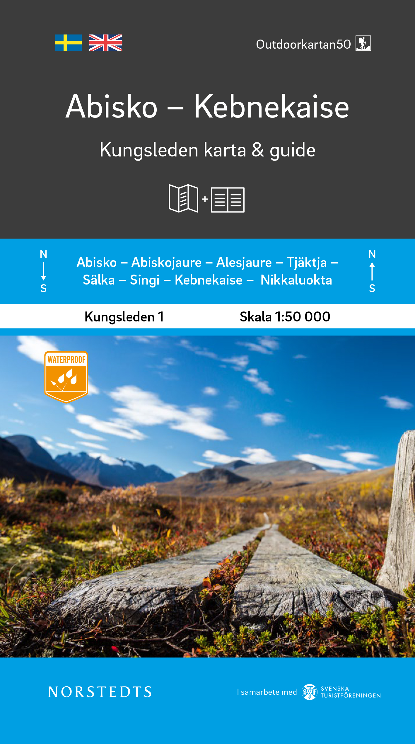
- Kungsleden - easily accessible hike through Sweden`s magical mountain world!Kungsleden Kart & Guide is a series of 5 parts between Abisko and Hemavan, which have been developed in collaboration with the Swedish Tourist Association. Each part consists of a set with a completely water-resistant mountain map in scale 1:50 000 and an accompanying... Read more
- Also available from:
- De Zwerver, Netherlands
- Stanfords, United Kingdom
De Zwerver
Netherlands
Netherlands
- Wandelkaart 2 Kebnekaise - Saltoluokta Kungsleden | Norstedts
- Kungsleden - easily accessible hike through Sweden`s magical mountain world!Kungsleden Kart & Guide is a series of 5 parts between Abisko and Hemavan, which have been developed in collaboration with the Swedish Tourist Association. Each part consists of a set with a completely water-resistant mountain map in scale 1:50 000 and an accompanying... Read more

Stanfords
United Kingdom
United Kingdom
- Kebnekaise - Saltoluokta Kungsleden Map & Guide Set 2
- Kungsleden - easily accessible hike through Sweden`s magical mountain world!Kungsleden Kart & Guide is a series of 5 parts between Abisko and Hemavan, which have been developed in collaboration with the Swedish Tourist Association. Each part consists of a set with a completely water-resistant mountain map in scale 1:50 000 and an accompanying... Read more