Goede wandelkaart met vrijwel alle topografische details en ingetekende routes. Ook met symbolen voor toeristische bezienswaardigheden, register. Berghutten duidelijk weergegeven. Gevaarlijke wandelroutes zijn goed herkenbaar. GPS toepasbaar. KOMPASS-Wanderkarten enthalten alles Wissenswerte für Wanderer wie aktuelle Wanderwege mit...Read more
Goede wandelkaart met vrijwel alle topografische details als hoogtelijnen, vegetatie, schaduwtekening maar ook de ingetekende wandelroutes en in veel gevallen ook fietsroutes (MTB). Gevaarlijke routes worden als zodanig weergegeven met een bepaalde markering. Berghutten en campings zijn goed terug te vinden op deze kaarten. Daarnaast staan de...Read more
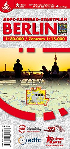
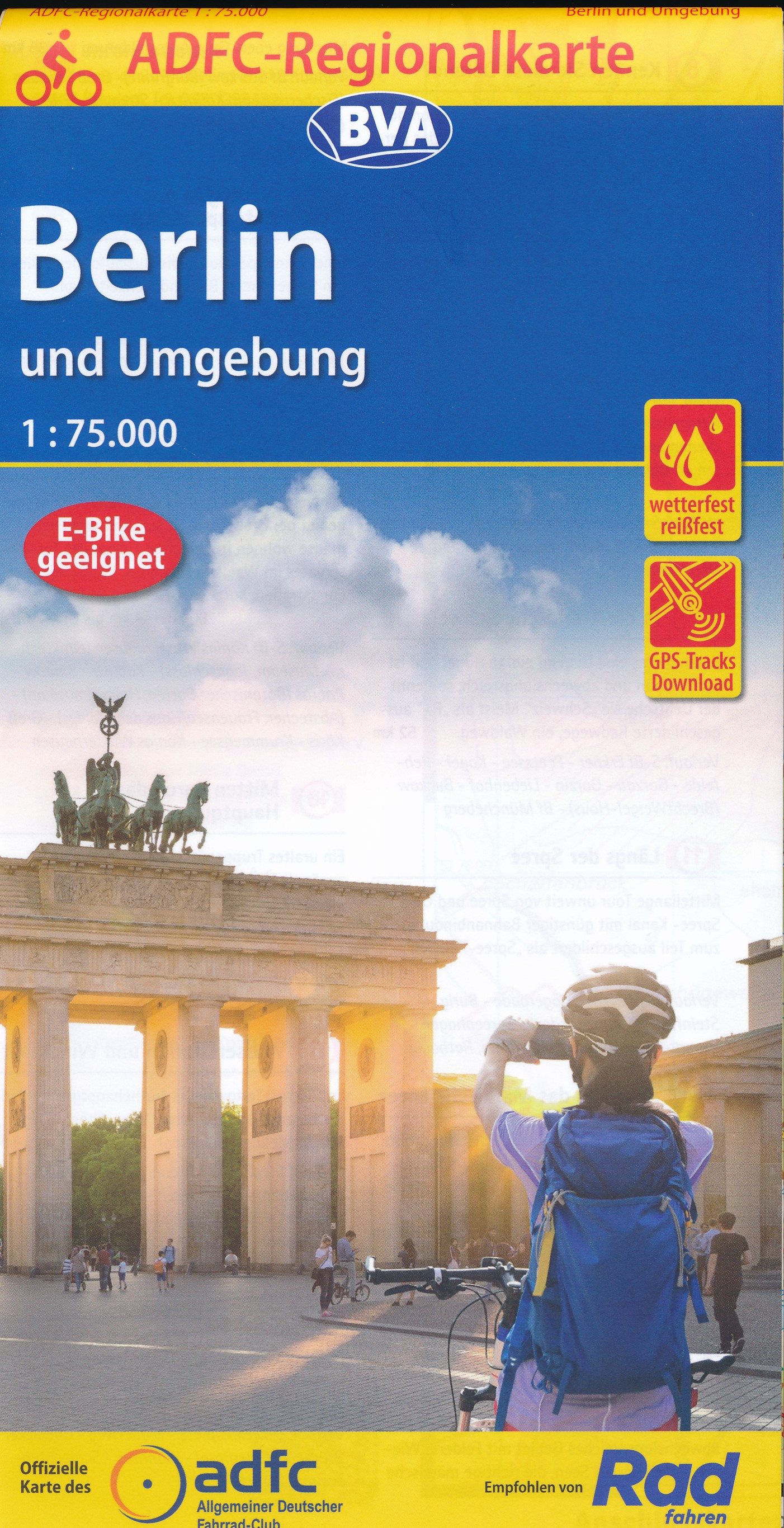
Berlin and its Environs on a waterproof, tear-resistant, GPS compatible cycling map at 1:75,000 from the ADFC (Allgemeiner Deutscher Fahrrad-Club - the official German cycling federation), in a series of maps with extensive overprint for long-distance and local cycling routes. GPS waypoints, route profiles, details of online links for...Read more
German state of Brandenburg with Berlin on an indexed road map at 1:200,000 in the MairDumont’s Marco Polo series, prominently highlighting interesting locations and protected areas. A 95-page index booklet includes for the Berlin/Postdam area street plans of central and west Berlin and Potsdam, plus enlargements of the environs at1:100,000...Read more
A 1030-km long cycle route from Arnhem in the Netherlands across the Harz Mountains to Berlin and on to the Oder presented by Verlag Esterbauer in a guide with maps at 1:75,000 showing the route and its variants. Extensive information is conveyed by symbols, indicating road surface, campsites and other accommodation, repair workshops,...Read more
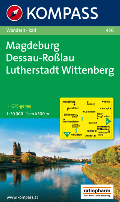
German state of Saxony-Anhalt on an indexed road map at 1:200,000 in the MairDumont’s Marco Polo series, prominently highlighting interesting locations and protected areas. A 79-page index booklet includes city centre street plans plus enlargements at 1:100,000 showing in greater detail the environs and road access to Dessau, Halle and...Read more
Spreewald - Berliner Seengebiet on a waterproof, tear-resistant, GPS compatible cycling map at 1:75,000 from the ADFC (Allgemeiner Deutscher Fahrrad-Club - the official German cycling federation), in a series of maps with extensive overprint for long-distance and local cycling routes. GPS waypoints, route profiles, details of online links for...Read more
Berlin at 1:20,000 on a “write & wipe” waterproof and tear-resistant, indexed street plan from Michelin with an enlargement of the Inter den Linden - Museum Island - Alexander Platz area, a road map of the city’s environs, a metro diagram, plus sightseeing recommendations based on the publisher’s Green Guide.On one side is a street plan...Read more
Berlin - Potsdam Region Street Atlas in a series of detailed atlases covering the whole of Germany at 1:20,000 with UTM coordinates for GPS navigation, postal codes and public transport, published by ADAC, the country’s largest motoring organization. The plans name all the individual streets and indicate all the main landmarks and public...Read more