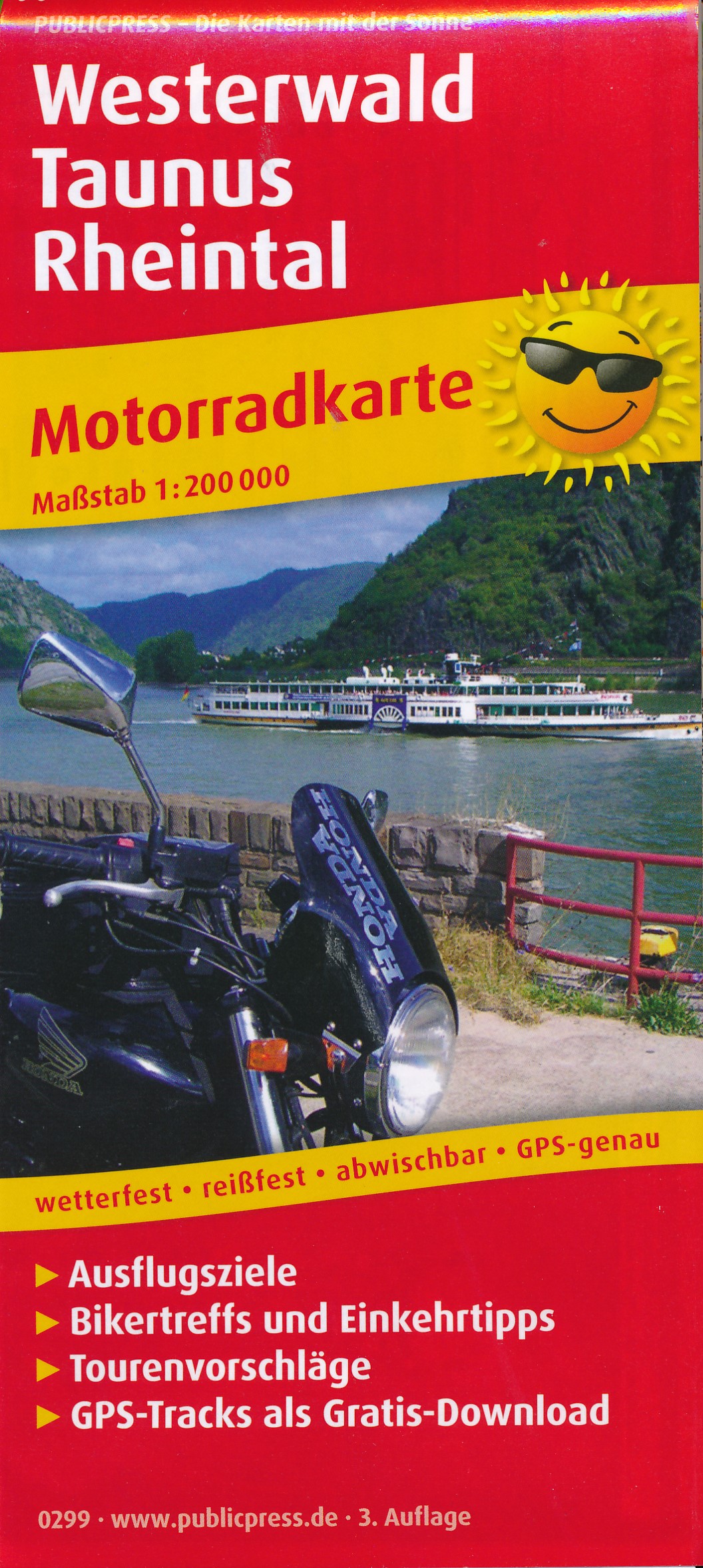
Betzdorf - Wissen - Kirchen on the Sieg area in the northern part of the Westerwald hills along the border of Rhineland-Palatinate and North Rhine-Westphalia in a series of contoured and GPS-compatible maps at 1:25,000 with cartography of the German topographic survey and extensive overprint highlighting waymarked hiking trails and/or cycling...Read more
Map No. 135, Appennino Tosco-Romagnolo East, in a series of GPS compatible hiking maps at 1:50,000 from the Istituto Geografico Adriatico, covering parts of central Italy: eastern Tuscany, with northern Umbria and the Marches, plus the south-eastern of part of Emilia-Romagna.The maps have contours at 50m intervals with additional shading and...Read more
Map No. 18, Monte Fumaiolo - Alto Tevere, in series of contoured, GPS compatible hiking maps at 1:25,000 from the Istituto Geografico Adriatico, covering mainly the spine of the Apennines along the borders of Tuscany, Emilia-Romagna, Umbria and the Marches.Map in this series have contours at 25m intervals with additional shading and numerous...Read more
Altenkirchen – Hamm on the Sieg area in the northern part of the Westerwald hills along the border of Rhineland-Palatinate and North Rhine-Westphalia in a series of contoured and GPS-compatible maps at 1:25,000 with cartography of the German topographic survey and extensive overprint highlighting waymarked hiking trails and/or cycling routes,...Read more
Map No. 125, Alta Val Tiberina, in a series of GPS compatible hiking maps at 1:50,000 from the Istituto Geografico Adriatico, covering parts of central Italy: eastern Tuscany, with northern Umbria and the Marches, plus the south-eastern of part of Emilia-Romagna.The maps have contours at 50m intervals with additional shading and numerous spot...Read more
Map No. 19, Bagno di Romagna, in series of contoured, GPS compatible hiking maps at 1:25,000 from the Istituto Geografico Adriatico, covering mainly the spine of the Apennines along the borders of Tuscany, Emilia-Romagna, Umbria and the Marches.The maps have contours at 25m intervals with additional shading and numerous Map in this series have...Read more
Map No. 128, Riviera Cesenate - San Marino, in a series of GPS compatible hiking maps at 1:50,000 from the Istituto Geografico Adriatico, covering parts of central Italy: eastern Tuscany, with northern Umbria and the Marches, plus the south-eastern of part of Emilia-Romagna.The maps have contours at 50m intervals with additional shading and...Read more
Map No. 16, Monte Carpegna - Sasso di Simone, in series of contoured, GPS compatible hiking maps at 1:25,000 from the Istituto Geografico Adriatico, covering mainly the spine of the Apennines along the borders of Tuscany, Emilia-Romagna, Umbria and the Marches.Map in this series have contours at 25m intervals with additional shading and...Read more
Betzdorf - Daaden - Gebhardshain - Herdorf area in the northern part of the Westerwald hills along the border of Rhineland-Palatinate and North Rhine-Westphalia in a series of contoured and GPS-compatible maps at 1:25,000 with cartography of the German topographic survey and extensive overprint highlighting waymarked hiking trails and/or...Read more
Map No. 126, Alta Val Marecchia, in a series of GPS compatible hiking maps at 1:50,000 from the Istituto Geografico Adriatico, covering parts of central Italy: eastern Tuscany, with northern Umbria and the Marches, plus the south-eastern of part of Emilia-Romagna.The maps have contours at 50m intervals with additional shading and numerous spot...Read more