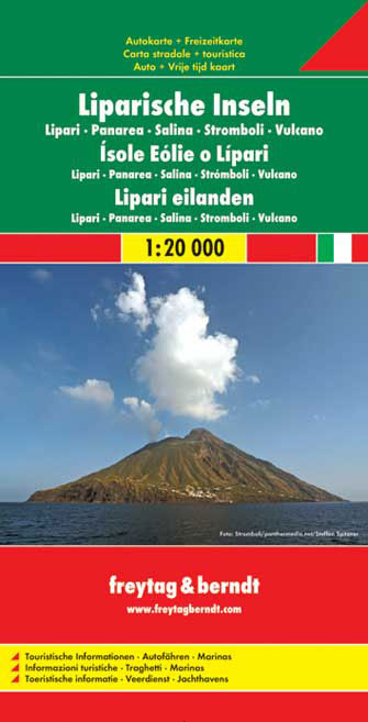
Aeolian (Lipari) Islands at 1:20,000 from Freytag & Berndt on a double-sided map which presents on the reverse coverage of Italy south of Rome at 1:600,000 and shows ferry access to the islands from the mainland or Sicily.On one side the islands are shown in a series of panels, with the three largest: Salina, Lipari and Vulcano together, and...Read more
Aeolian (Lipari) Islands at 1:20,000 from Freytag & Berndt on a double-sided map which presents on the reverse coverage of Italy south of Rome at 1:600,000 and shows ferry access to the islands from the mainland or Sicily.On one side the islands are shown in a series of panels, with the three largest: Salina, Lipari and Vulcano together, and...Read more
Zingaro and Monte Cofano Nature Reserves on the north western-coast of Sicily between Palermo and Trapani on a detailed, GPS compatible map at 1:25,000 from LAC in their Globalmap imprint. Topography of this interesting area is very well presented by contours at 25m intervals, enhanced by shading and graphic relief, plus colouring to show shrub...Read more
A brand new chart of the Sicilian Channel, designed to show passage from West Sicily to Isola di Pantelleria and the Tunisian Coast. Plans included: Bizerte (1:30 000) Cap Gammarth to Carthage (1:65 000) Port de Kelibia (1:15 000) Port Yasmine Hammamet (1:25 000) Pantelleria (1:10 000)Read more