The Book Depository
United Kingdom
2018
» Click to open
De Zwerver
Netherlands
2018
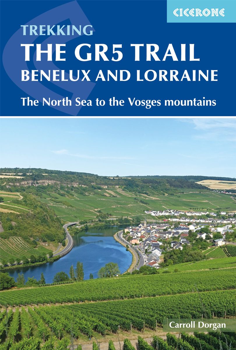
  • Wandelgids The GR5 Trail Benelux and Lorraine | Cicerone
  • Guidebook to walking the northern section of the GR5 - 1000km starting in Hoek van Holland and passing through the Netherlands, Belgium, Luxembourg and Lorraine to Schirmeck in France. A long-distance route covering a variety of cultures and landscapes. The full GR5 from the North Sea to the Mediterranean is one of the world's greatest trails. Read more
» Click to close
The Book Depository
United Kingdom
» Click to open
Stanfords
United Kingdom
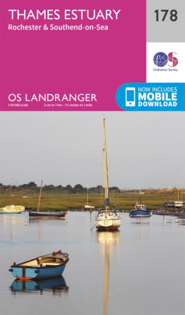
  • Thames Estuary, Rochester & Southend-on-Sea OS Landranger Map 178 (paper)
  • Thames Estuary with Rochester and Southend-on-Sea, including a section of the North Downs Way / E2 European Long-Distance Path, on a paper version of map No. 178 from the Ordnance Survey’s Landranger series at 1:50,000, with contoured and GPS compatible topographic mapping plus tourist information.MOBILE DOWNLOADS: As well as the physical... Read more
» Click to close
The Book Depository
United Kingdom
2021
The Book Depository
United Kingdom
» Click to open
Stanfords
United Kingdom
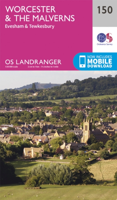
  • Worcester, The Malverns, Evesham & Tewkesbury OS Landranger Map 150 (paper)
  • The area around Worcester, Great Malvern, Evesham and Tewkesbury, including the Malvern Hills and part of the Cotswold Way / E2 European Long-distance Path, on a paper version of map No. 150 from the Ordnance Survey’s Landranger series at 1:50,000, with contoured and GPS compatible topographic mapping plus tourist information.MOBILE DOWNLOADS:... Read more
» Click to close
The Book Depository
United Kingdom
2018
» Click to open
De Zwerver
Netherlands
2018
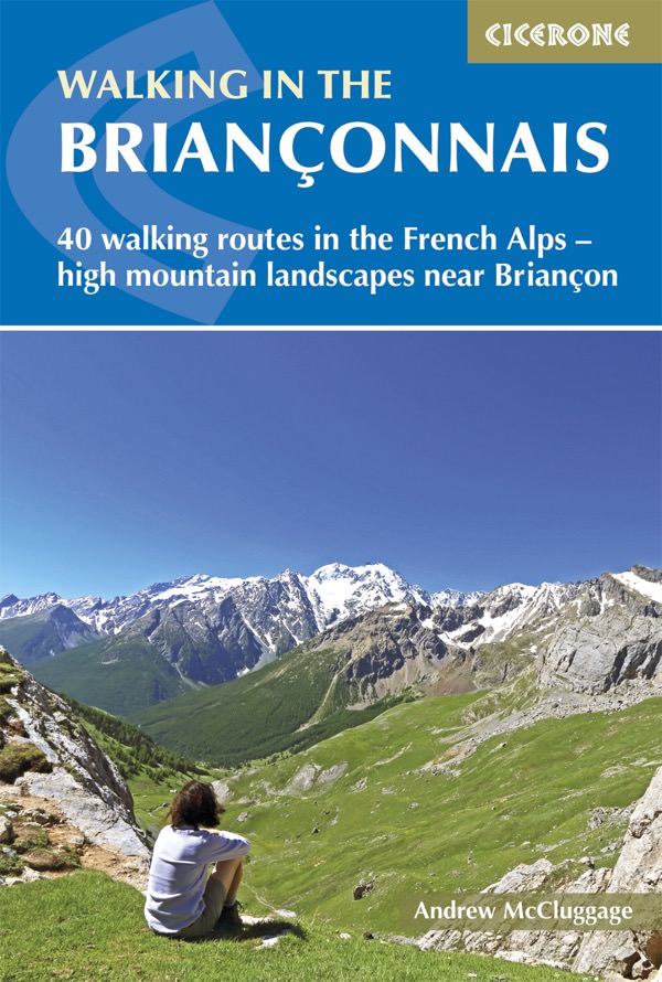
  • Wandelgids Walking in the Briançonnais | Cicerone
  • Guidebook of 40 walks around Briançon in France. Walks for all abilities ranging from 1½ to 7hrs. The book focuses on the stunning valleys of Clarée, Cerveyrette, Ayes, Durance and Guisane, and includes the magnificent Alpine landscapes around Vallouise and Montgenèvre. Read more
Stanfords
United Kingdom
2018
» Click to close
The Book Depository
United Kingdom
» Click to open
Stanfords
United Kingdom
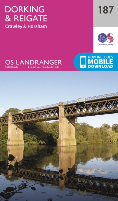
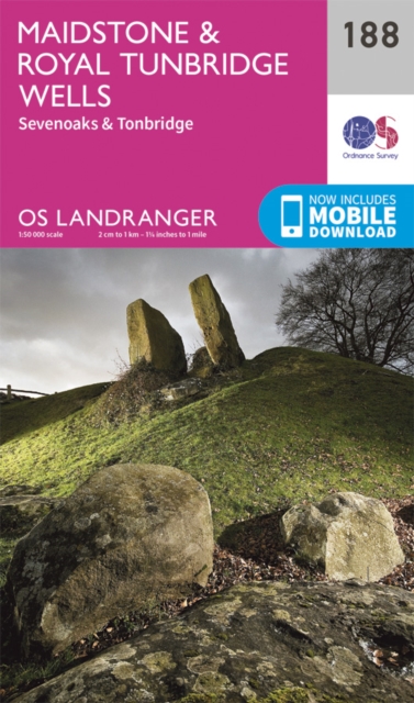
  • Dorking, Reigate, Crawley & Horsham OS Landranger Map 187 (paper)
  • Dorking and Reigate area, including a section of the North Downs Way / E2 European Long-distance Path, on a paper version of map No. 187 from the Ordnance Survey’s Landranger series at 1:50,000, with contoured and GPS compatible topographic mapping plus tourist information.MOBILE DOWNLOADS: As well as the physical edition of the map, each... Read more
» Click to close
The Book Depository
United Kingdom
» Click to open
Stanfords
United Kingdom
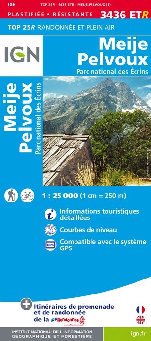
  • Meije - Pelvoux - PN des Ecrins IGN WATERPROOF 3436ETR
  • Topographic survey of France at 1:25,000 in IGN`s excellent TOP25 / Série Bleue series. All the maps are GPS compatible, with a 1km UTM grid plus latitude and longitude lines at 5’ intervals. Contours are at 5m intervals except for mountainous areas where the maps have contours at 10m intervals, vividly enhanced by hill shading and graphics for... Read more
» Click to close
The Book Depository
United Kingdom
» Click to open
Stanfords
United Kingdom
» Click to close
The Book Depository
United Kingdom
» Click to open
Stanfords
United Kingdom
» Click to close
The Book Depository
United Kingdom
2022
» Click to open
» Click to close
The Book Depository
United Kingdom
» Click to open
Stanfords
United Kingdom
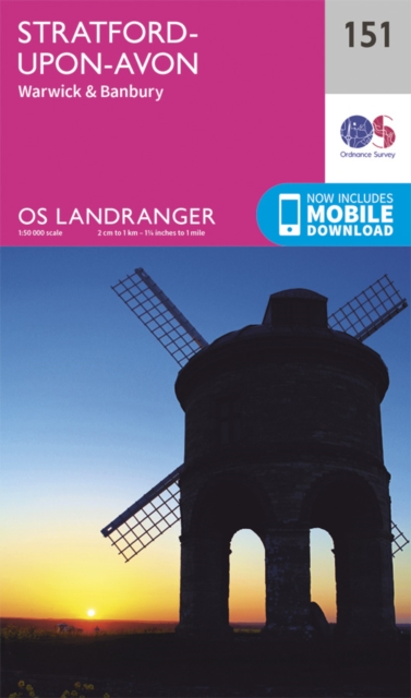
  • Stratford-upon-Avon, Warwick & Banbury OS Landranger Map 151 (paper)
  • The area between Stratford-upon-Avon, Warwick and Banbury, including the northern part of the Cotswold Hills and part of the Cotswold Way / E2 European Long-distance Path, on a paper version of map No. 151 from the Ordnance Survey’s Landranger series at 1:50,000, with contoured and GPS compatible topographic mapping plus tourist... Read more
» Click to close
The Book Depository
United Kingdom
» Click to open
Stanfords
United Kingdom
» Click to close
The Book Depository
United Kingdom
» Click to open
Stanfords
United Kingdom
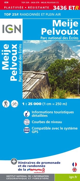
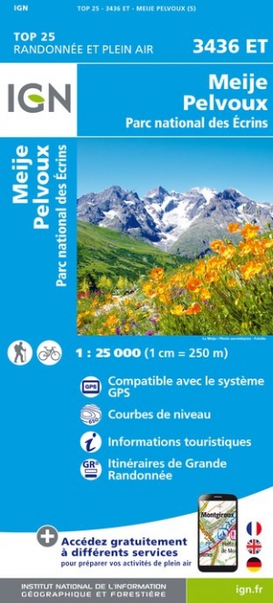
  • Meije - Pelvoux - PN des Ecrins IGN 3436ET
  • Topographic survey of France at 1:25,000 in IGN`s excellent TOP25 / Série Bleue series. All the maps are GPS compatible, with a 1km UTM grid plus latitude and longitude lines at 5’ intervals. Contours are at 5m intervals except for mountainous areas where the maps have contours at 10m intervals, vividly enhanced by hill shading and graphics for... Read more
» Click to close
The Book Depository
United Kingdom
» Click to open
Stanfords
United Kingdom
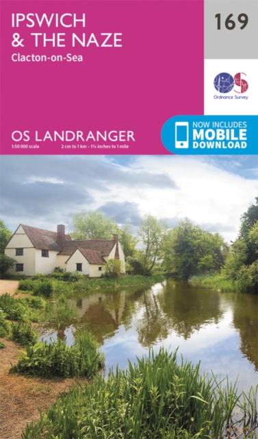
  • Ipswich, The Naze & Clacton-on-Sea OS Landranger Map 169 (paper)
  • Ipswich with Harwich and The Naze area, including part of the E2 European Long-distance Path, on a paper version of map No. 169 from the Ordnance Survey’s Landranger series at 1:50,000, with contoured and GPS compatible topographic mapping plus tourist information.MOBILE DOWNLOADS: As well as the physical edition of the map, each Landranger... Read more
» Click to close
The Book Depository
United Kingdom
» Click to open
Stanfords
United Kingdom
» Click to close