The Book Depository
United Kingdom
2022
United Kingdom
2022
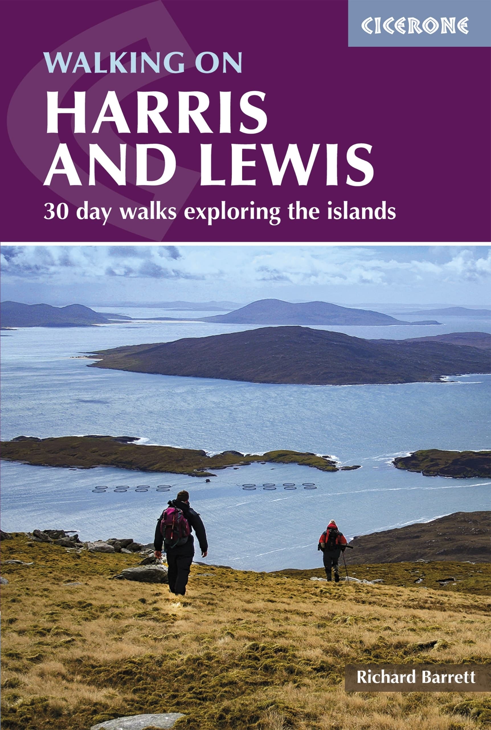
- Walking on Harris and Lewis
- 30 day walks exploring the islands Read more
- Also available from:
- De Zwerver, Netherlands
De Zwerver
Netherlands
2022
Netherlands
2022
- Wandelgids Harris and Lewis - Outer Hebrides, Hebriden Schotland | Cicerone
- 30 day walks exploring the islands Read more