The Book Depository
United Kingdom
» Click to open
Stanfords
United Kingdom
» Click to close
The Book Depository
United Kingdom
2013
» Click to open
De Zwerver
Netherlands
2013
» Click to close
The Book Depository
United Kingdom
2021
» Click to open
De Zwerver
Netherlands
2021
» Click to close
The Book Depository
United Kingdom
2015
» Click to open
Stanfords
United Kingdom
2015
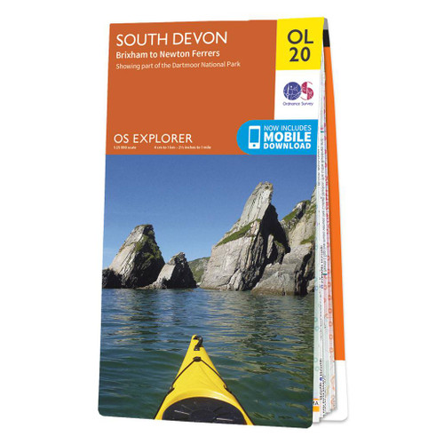
  • South Devon - Brixham to Newton Ferrers OS Explorer Map OL20 (paper)
  • The coast of South Devon on a detailed topographic and GPS compatible map OL20, paper version, from the Ordnance Survey’s 1:25,000 Explorer series. The map extends westwards beyond Newton Ferrers to Plymouth, eastwards beyond Brixham to Torquay, and inland to include part of the Dartmoor National Park. Coverage includes Paignton, Totness,... Read more
» Click to close
The Book Depository
United Kingdom
2019
» Click to open
De Zwerver
Netherlands
2019
Stanfords
United Kingdom
2019
» Click to close
The Book Depository
United Kingdom
» Click to open
Stanfords
United Kingdom
  • Dorchester, Weymouth, Cerne Abbas & Bere Regis OS Landranger Map 194 (paper)
  • Dorchester and Weymouth area, including a section of the South West Coast Path / E9 European Long-distance Path, on a paper version of map No. 194 from the Ordnance Survey’s Landranger series at 1:50,000, with contoured and GPS compatible topographic mapping plus tourist information.MOBILE DOWNLOADS: As well as the physical edition of the map,... Read more
» Click to close
The Book Depository
United Kingdom
2022
» Click to open
De Zwerver
Netherlands
2022
  • Wandelgids Cornwall Coast Path | Trailblazer Guides
  • Practical, complete hiking route guide, with maps and accommodation for the 288-mile footpath that runs around the entire coastline of Cornwall, from Bude to Plymouth; Part 2 of the South-West-Coast Path, a 630-mile National Trail from Minehead to Poole. Includes * 142 large-scale walking maps in TWO-COLOUR style (3 1/8inches to 1 mile), 15 ... Read more
Stanfords
United Kingdom
2022
  • Cornwall Coast Path - Bude to Plymouth (Book 2) 7
  • Practical, complete hiking route guide, with maps and accommodation for the 288-mile footpath that runs around the entire coastline of Cornwall, from Bude to Plymouth; Part 2 of the South-West-Coast Path, a 630-mile National Trail from Minehead to Poole. Includes * 142 large-scale walking maps in TWO-COLOUR style (3 1/8inches to 1 mile), 15 ... Read more
» Click to close
The Book Depository
United Kingdom
2018
» Click to open
De Zwerver
Netherlands
2018
» Click to close
The Book Depository
United Kingdom
The Book Depository
United Kingdom
The Book Depository
United Kingdom
2015
» Click to open
Stanfords
United Kingdom
2015
  • Torquay & Dawlish - Newton Abbot OS Explorer Map OL44 (paper)
  • Torquay and Dawlish area of south Devon on a detailed topographic and GPS compatible map OL44, paper version, from the Ordnance Survey’s 1:25,000 Explorer series. Coverage extends from the Exe Estuary in the north-east to Totnes in the south-west and includes Paignton, Newton Abbot, Teignmouth, Exminster, Bovey Tracy, Trenchford Reservoir, a... Read more
» Click to close
The Book Depository
United Kingdom
2013
» Click to open
De Zwerver
Netherlands
2013
» Click to close
The Book Depository
United Kingdom
» Click to open
Stanfords
United Kingdom
» Click to close
The Book Depository
United Kingdom
2021
» Click to open
» Click to close
The Book Depository
United Kingdom
» Click to open
Stanfords
United Kingdom
  • Exeter, Sidmouth, Exmouth & Teignmouth OS Landranger Map 192 (paper)
  • Exeter and Sidmouth area, including a section of the South West Coast Path / E9 European Long-distance Path, on a paper version of map No. 192 from the Ordnance Survey’s Landranger series at 1:50,000, with contoured and GPS compatible topographic mapping plus tourist information.MOBILE DOWNLOADS: As well as the physical edition of the map, each... Read more
» Click to close