The Book Depository
United Kingdom
2015
United Kingdom
2015
- Also available from:
- De Zwerver, Netherlands
- Stanfords, United Kingdom
De Zwerver
Netherlands
2015
Netherlands
2015

Stanfords
United Kingdom
2015
United Kingdom
2015
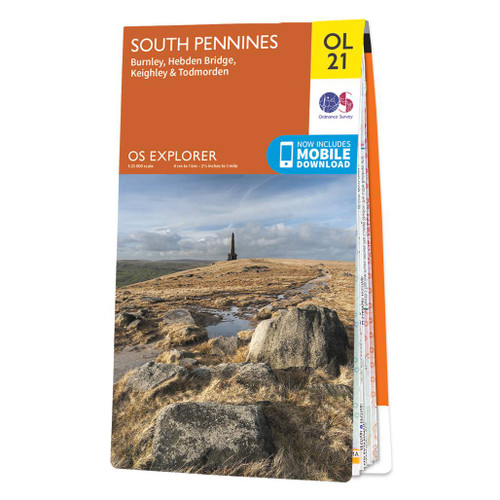
- South Pennines: Burnley, Hebden Bridge, Keighley & Todmorden OS Explorer Map OL21 (paper)
- The southern part of the Pennines on a detailed topographic and GPS compatible map OL21, paper version, from the Ordnance Survey’s 1:25,000 Explorer series. The map covers an area between Burney and Halifax, extending north to Skipton and Horton. Coverage includes Littleborough, Sowerby Bridge, Todmorden, Haworth, Nelson, Bernoldswick, the peak... Read more