This new title is one of the first two in an updated series of Paul Hannon`s `Short Scenic Walks` guidebooks. The principle feature is that all walks are less than five miles in length, offering a perfect half day`s stroll for families, casual walkers and all who want to enjoy a leisurely exploration of Britain`s outstanding country landscapes....Read more
Cheltenham and Cirencester area, including sections of the Thames Path, the Cotswold Way and the E2 European Long-distance Path, on a paper version of map No. 163 from the Ordnance Survey’s Landranger series at 1:50,000, with contoured and GPS compatible topographic mapping plus tourist information.MOBILE DOWNLOADS: As well as the physical...Read more
Oxford area, including sections of the Thames Path and the E2 European Long-distance Path, on a paper version of map No. 164 from the Ordnance Survey’s Landranger series at 1:50,000, with contoured and GPS compatible topographic mapping plus tourist information.MOBILE DOWNLOADS: As well as the physical edition of the map, each Landranger title...Read more
Thames Estuary with Rochester and Southend-on-Sea, including a section of the North Downs Way / E2 European Long-Distance Path, on a waterproof and tear-resistant OS Active version of map No. 178 from the Ordnance Survey’s Landranger series at 1:50,000, with contoured and GPS compatible topographic mapping plus tourist information.MOBILE...Read more
Parts of Cambridgeshire, Suffolk and Essex with Cambridge, Newmarket and Saffron Walden, including part of the E2 European Long-distance path, on a paper version of map No. 154 from the Ordnance Survey’s Landranger series at 1:50,000, with contoured and GPS compatible topographic mapping plus tourist information.MOBILE DOWNLOADS: As well as the...Read more
The Cheviot Hills on a detailed topographic and GPS compatible map OL16, paper version, from the Ordnance Survey’s 1:25,000 Explorer series. Coverage includes Jedburgh, Woolmer, part of the Northumberland National Park, the peaks of The Cheviot, Corby Pike, Cold Law, Scrathy Holes and Windy Gyle, Catcleugh Reservoir, sections of the Pennine Way...Read more
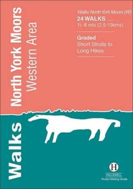
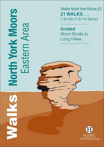
Discover the beautiful countryside around North Yorkshire with this guide to some of the best walks in the county. The 20 circular routes vary in length from 3 to 8 miles and are each centred on a broad variety of welcoming pubs recommended for their good food. Explore the meadows and woodland around Forge Valley and Grosmont, the waterfalls at...Read more
Eastern Kent with Canterbury, Dover and Margate, including sections of the North Downs Way and the E2 and E9 European Long-Distance Paths, on a waterproof and tear-resistant OS Active version of map No. 179 from the Ordnance Survey’s Landranger series at 1:50,000, with contoured and GPS compatible topographic mapping plus tourist...Read more
Dorking and Reigate area, including a section of the North Downs Way / E2 European Long-distance Path, on a waterproof and tear-resistant OS Active version of map No. 187 from the Ordnance Survey’s Landranger series at 1:50,000, with contoured and GPS compatible topographic mapping plus tourist information.MOBILE DOWNLOADS: As well as the...Read more