The Book Depository
United Kingdom
2015
» Click to open
Stanfords
United Kingdom
2015
  • North Uist & Berneray OS Explorer Map 454 (paper)
  • North Uist, Berneray and the surrounding smaller islands on a detailed topographic and GPS compatible map No. 454, paper version, from the Ordnance Survey’s 1:25,000 Explorer series. MOBILE DOWNLOADS: this title and all the other OS Explorer maps include a code for downloading after purchase the digital version onto your smartphone or tablet... Read more
» Click to close
The Book Depository
United Kingdom
The Book Depository
United Kingdom
» Click to open
Stanfords
United Kingdom
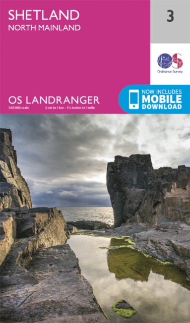
  • Shetland: North Mainland OS Landranger Map 3 (paper)
  • Paper version of map No. 3 from the Ordnance Survey’s Landranger series at 1:50,000, with contoured and GPS compatible topographic mapping plus tourist information.MOBILE DOWNLOADS: As well as the physical edition of the map, each Landranger title now includes a code for downloading after purchase its digital version onto your smartphone or... Read more
» Click to close
The Book Depository
United Kingdom
» Click to open
Stanfords
United Kingdom
  • Stirling & The Trossachs OS Landranger Active Map 57 (waterproof)
  • Waterproof and tear-resistant OS Active version of map No. 57 from the Ordnance Survey’s Landranger series at 1:50,000, with contoured and GPS compatible topographic mapping plus tourist information.MOBILE DOWNLOADS: As well as the physical edition of the map, each Landranger title now includes a code for downloading after purchase its digital... Read more
» Click to close
The Book Depository
United Kingdom
» Click to open
Stanfords
United Kingdom
» Click to close
The Book Depository
United Kingdom
» Click to open
Stanfords
United Kingdom
» Click to close
The Book Depository
United Kingdom
2011
» Click to open
De Zwerver
Netherlands
2011
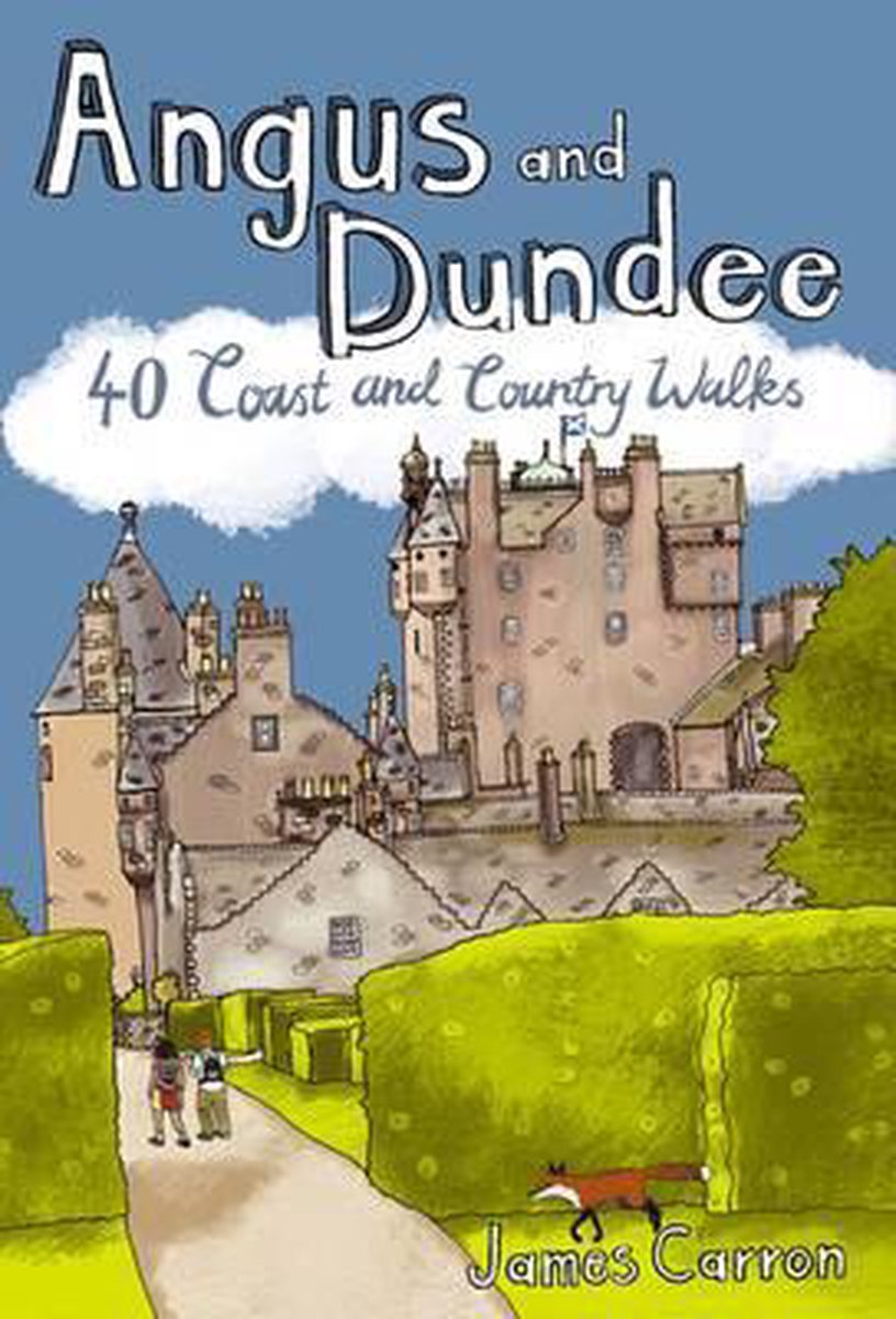
  • Wandelgids Weekend Walks Angus And Dundee | Pocket Mountains
  • Angus is the historical heartland of Scotland, a county where the past has left an indelible mark on the present. Prehistoric forts, ancient castles and Pictish standing stones dot a rich and varied landscape where bracing coastal hikes, tranquil riverside rambles, sheltered woodland wanders and more challenging hill ascents await the walker.... Read more
Stanfords
United Kingdom
2011
  • Angus and Dundee
  • Angus is the historical heartland of Scotland, a county where the past has left an indelible mark on the present. Prehistoric forts, ancient castles and Pictish standing stones dot a rich and varied landscape where bracing coastal hikes, tranquil riverside rambles, sheltered woodland wanders and more challenging hill ascents await the walker.... Read more
» Click to close
The Book Depository
United Kingdom
» Click to open
Stanfords
United Kingdom
  • Loch Assynt, Lochinver & Kylesku OS Landranger Active Map 15 (waterproof)
  • Waterproof and tear-resistant OS Active version of map No. 15 from the Ordnance Survey’s Landranger series at 1:50,000, with contoured and GPS compatible topographic mapping plus tourist information.MOBILE DOWNLOADS: As well as the physical edition of the map, each Landranger title now includes a code for downloading after purchase its digital... Read more
» Click to close
The Book Depository
United Kingdom
» Click to open
Stanfords
United Kingdom
  • Oswestry - Chirk, Ellesmere & Pant OS Explorer Active Map 240 (waterproof)
  • Oswestry, Chirk, Ellesmere and Pant area on a detailed topographic and GPS compatible map No. 240, waterproof version, from the Ordnance Survey’s 1:25,000 Explorer series.MOBILE DOWNLOADS: this title and all the other OS Explorer maps include a code for downloading after purchase the digital version onto your smartphone or tablet for viewing on... Read more
» Click to close
The Book Depository
United Kingdom
2015
» Click to open
Stanfords
United Kingdom
2015
» Click to close
The Book Depository
United Kingdom
» Click to open
Stanfords
United Kingdom
  • Maidstone & the Medway Towns OS Explorer Active Map 148 (waterproof)
  • Maidstone and the Medway Towns area on a detailed topographic and GPS compatible map No. 148, waterproof version, from the Ordnance Survey’s 1:25,000 Explorer series. MOBILE DOWNLOADS: this title and all the other OS Explorer maps include a code for downloading after purchase the digital version onto your smartphone or tablet for viewing on the... Read more
» Click to close
The Book Depository
United Kingdom
» Click to open
Stanfords
United Kingdom
  • Cheviot Hills - Jedburgh & Wooler OS Explorer Map OL16 (paper)
  • The Cheviot Hills on a detailed topographic and GPS compatible map OL16, paper version, from the Ordnance Survey’s 1:25,000 Explorer series. Coverage includes Jedburgh, Woolmer, part of the Northumberland National Park, the peaks of The Cheviot, Corby Pike, Cold Law, Scrathy Holes and Windy Gyle, Catcleugh Reservoir, sections of the Pennine Way... Read more
» Click to close
The Book Depository
United Kingdom
» Click to open
Stanfords
United Kingdom
» Click to close
The Book Depository
United Kingdom
2015
» Click to open
Stanfords
United Kingdom
2015
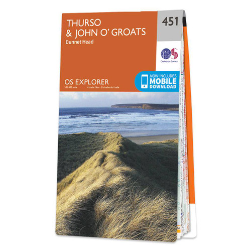
  • Thurso & John o`Groats - Dunnet Head OS Explorer Map 451 (paper)
  • Thurso, John o`Groats and Dunnet Head area on a detailed topographic and GPS compatible map No. 451, paper version, from the Ordnance Survey’s 1:25,000 Explorer series. MOBILE DOWNLOADS: this title and all the other OS Explorer maps include a code for downloading after purchase the digital version onto your smartphone or tablet for viewing on... Read more
» Click to close
The Book Depository
United Kingdom
2021
» Click to open
De Zwerver
Netherlands
2021
Stanfords
United Kingdom
2021
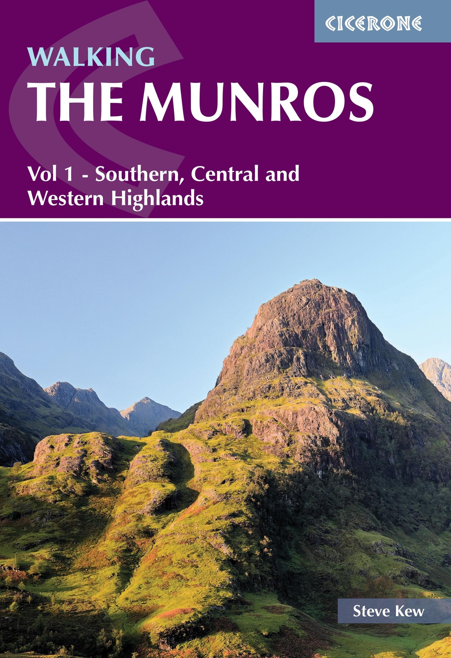
  • Walking the Munros Vol 1 - Southern, Central and Western Highlands
  • Half of a two-volume set describing challenging and inspiring routes to climb Scotland`s 282 3000ft+ mountains, this guide covers the southern, central and western Highlands (south of the Great Glen), taking in stunning areas such as Glen Coe, Glen Shee, Lochaber and Mull. 69 demanding and inspiring routes are described, covering 139 Munro... Read more
» Click to close