The Book Depository
United Kingdom
2018
» Click to open
De Zwerver
Netherlands
2018
  • Wandelgids 
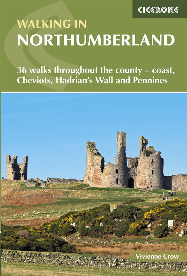
Walking in Northumberland | Cicerone
  • Guidebook to walking in Northumberland. 36 graded walks of 4 to 14 miles, from the beautiful coast with its immense, empty beaches and dramatic, crag-top castles to the remote hills of the Cheviots and Pennines. Includes Hadrian's Wall, Lindisfarne Priory, Kielder, Berwick, Bamburgh and Dunstanburgh Castles and more. Read more
Stanfords
United Kingdom
2018
» Click to close
The Book Depository
United Kingdom
» Click to open
Stanfords
United Kingdom
  • Peterborough, Market Deeping & Chatteris OS Landranger Map 142 (paper)
  • The area around Peterborough, Market Deeping and Chatteris, including the Fens of the North and Middle Levels with part of the E2 European Long-distance Path, on a paper version of map No. 142 from the Ordnance Survey’s Landranger series at 1:50,000, with contoured and GPS compatible topographic mapping plus tourist information.MOBILE... Read more
» Click to close
The Book Depository
United Kingdom
2016
» Click to open
De Zwerver
Netherlands
2016
  • Wandelgids 64 Pathfinder Guides South Pennines | Ordnance Survey
  • Pathfinder are Britain`s best-loved walking guides. Enjoy 28 circular walks around the beautiful South Pennines, with Pathfinder, enjoy the stunning scenery with: Easy to follow directions Route highlights from the best view to great pubs Tried and tested for everyone from families to seasoned walkers Stunning photography Clear maps for easy... Read more
Stanfords
United Kingdom
2016
  • South Pennines
  • Pathfinder are Britain`s best-loved walking guides. Enjoy 28 circular walks around the beautiful South Pennines, with Pathfinder, enjoy the stunning scenery with: Easy to follow directions Route highlights from the best view to great pubs Tried and tested for everyone from families to seasoned walkers Stunning photography Clear maps for easy... Read more
» Click to close
The Book Depository
United Kingdom
2017
» Click to open
De Zwerver
Netherlands
2017
  • Wandelgids Yorkshire Dales | Pocket Mountains
  • The Yorkshire Dales combine a wild limestone landscape of high rolling moorland gouged by dramatic caves and cascading waterfalls with peaceful farmland carpeted in wildflowers and dotted with ruined abbeys, ancient stone walls and barns, and timeless villages waiting to be discovered.The 40 moderate walks in this collection from award winning... Read more
Stanfords
United Kingdom
2017
  • Yorkshire Dales: 40 Favourite Walks
  • The Yorkshire Dales combine a wild limestone landscape of high rolling moorland gouged by dramatic caves and cascading waterfalls with peaceful farmland carpeted in wildflowers and dotted with ruined abbeys, ancient stone walls and barns, and timeless villages waiting to be discovered.The 40 moderate walks in this collection from award winning... Read more
» Click to close
The Book Depository
United Kingdom
» Click to open
Stanfords
United Kingdom
  • Oxford, Chipping Norton & Bicester OS Landranger Map 164 (paper)
  • Oxford area, including sections of the Thames Path and the E2 European Long-distance Path, on a paper version of map No. 164 from the Ordnance Survey’s Landranger series at 1:50,000, with contoured and GPS compatible topographic mapping plus tourist information.MOBILE DOWNLOADS: As well as the physical edition of the map, each Landranger title... Read more
» Click to close
The Book Depository
United Kingdom
The Book Depository
United Kingdom
The Book Depository
United Kingdom
2018
» Click to open
De Zwerver
Netherlands
2018
  • Wandelgids The Andalucian Coast to Coast Walk - Andalusie | Cicerone
  • Guidebook to the Andalucian Coast to Coast Walk, a 440km, 21-day route from Maro on the Mediterranean coast to Bolonia, on the Atlantic. The route, which passes through 7 Natural Parks, links some of Andalucía's most beautiful villages and passes historical sites of both Roman and Moorish origins, including Ronda and Tarifa. Read more
» Click to close
The Book Depository
United Kingdom
2015
» Click to open
De Zwerver
Netherlands
2021
  • Wandelgids Walking in the Southern Uplands | Cicerone
  • Guidebook to 44 varied day walks and over 100 summits in the Southern Uplands of Scotland, stretching south-west from Edinburgh to the English border, including the Galloway and Pentland Hills. Between 2 and 29km, there is something for all seasons and all abilities in remote and rugged hill country. Read more
Stanfords
United Kingdom
2015
  • Southern Uplands Walking: 44 Best Hill Days in Southern Scotland
  • This guidebook describes 44 routes and over 100 summits stretching across the Southern Uplands of Scotland, stretching south-west from Edinburgh to the English border, including the Galloway and Pentland Hills. The walks range between 2 and 29km, suitable for walkers of all abilities. The Scottish Southern Uplands is a range that is about as... Read more
» Click to close
The Book Depository
United Kingdom
2016
» Click to open
Stanfords
United Kingdom
2016
  • North York Moors Western OS Explorer Map OL26 (paper)
  • The western part of the North York Moors National Park on a detailed topographic and GPS compatible map OL26, paper version, from the Ordnance Survey’s 1:25,000 Explorer series. Coverage extends from Ampleforth in the south northwards to Saltburn-by-the-Sea, and from Ingleby Arncliffe to Danby, Castleton and Hutton-le-Hole, and includes... Read more
» Click to close
The Book Depository
United Kingdom
2015
» Click to open
» Click to close
The Book Depository
United Kingdom
» Click to open
Stanfords
United Kingdom
  • Colchester, Halstead & Maldon OS Landranger Active Map 168 (waterproof)
  • Colchester, Halstead and Maldon area, including part of the E2 European Long-distance Path, on a waterproof and tear-resistant OS Active version of map No. 168 from the Ordnance Survey’s Landranger series at 1:50,000, with contoured and GPS compatible topographic mapping plus tourist information.MOBILE DOWNLOADS: As well as the physical edition... Read more
» Click to close
The Book Depository
United Kingdom
The Book Depository
United Kingdom
» Click to open
Stanfords
United Kingdom
  • Ely, Wisbech & Downham Market OS Landranger Map 143 (paper)
  • Cambridgeshire around Ely, Wisbech and Downham Market, including part of the E2 European Long-distance Path, on a paper version of map No. 143 from the Ordnance Survey’s Landranger series at 1:50,000, with contoured and GPS compatible topographic mapping plus tourist information.MOBILE DOWNLOADS: As well as the physical edition of the map, each... Read more
» Click to close
The Book Depository
United Kingdom
» Click to open
Stanfords
United Kingdom
» Click to close