The Book Depository
United Kingdom
2018
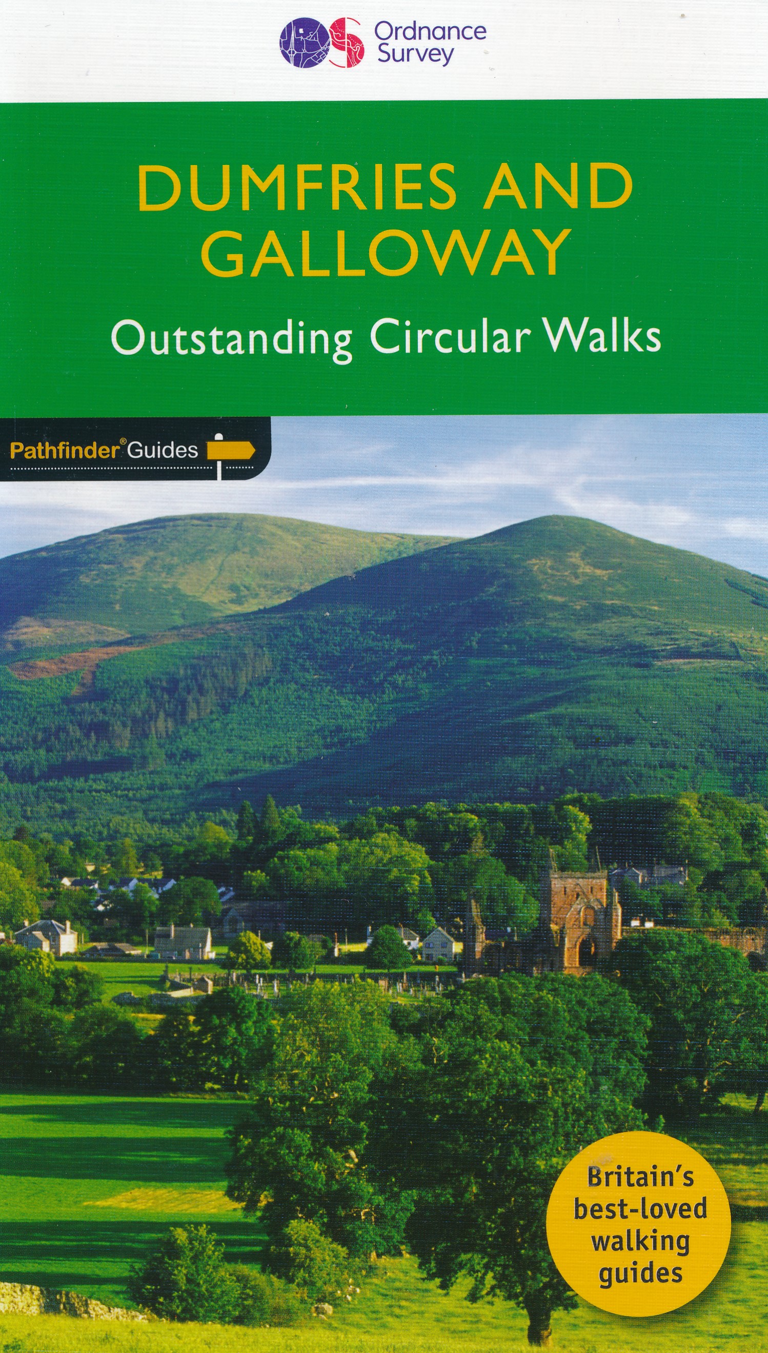
- Dumfries & Galloway
- Dumfries and Galloway form the south-west of Scotland, a broad wedge of land jutting out into the Irish Sea between the Solway Firth and the Firth of Clyde. The area is also part of Scotland`s border country a peaceful, unspoilt region that possesses a mild climate, a great variety of scenery and a rich historic legacy. The mountains of... Read more