The Book Depository
United Kingdom
2022
United Kingdom
2022
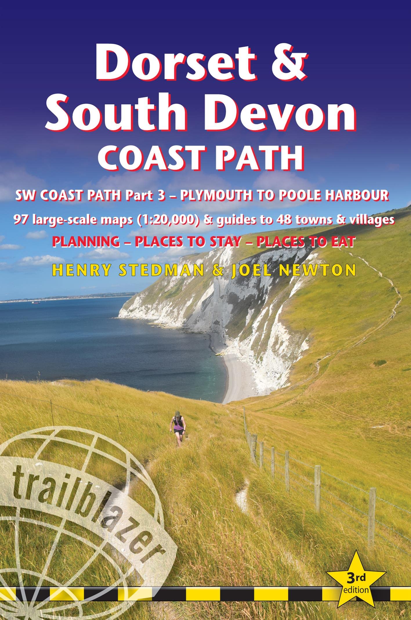
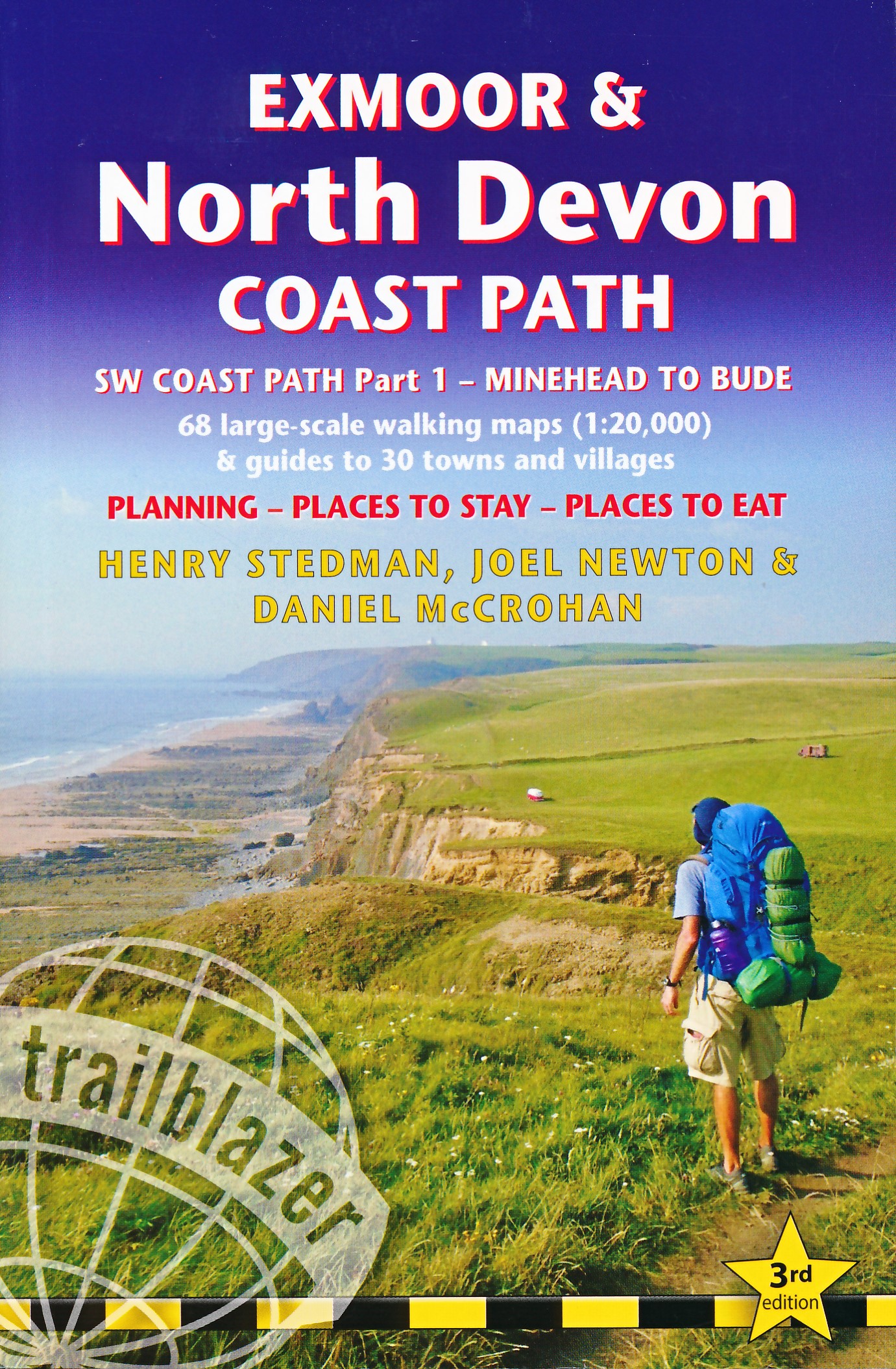
- Exmoor & North Devon Coast Path, South-West-Coast Path Part 1: Minehead to Bude (Trailblazer British Walking Guides)
- Practical walking guide with 55 large-scale walking maps (1:20,000) and guides to 30 towns and villages - planning, places to stay, places to eat Read more
- Also available from:
- De Zwerver, Netherlands
- Stanfords, United Kingdom
De Zwerver
Netherlands
2022
Netherlands
2022
- Wandelgids Exmoor and North Devon Coast Path | Trailblazer Guides
- Practical, complete guide to walking Exmoor & North Devon Coast Path, the first section of the South West Coast Path, from Minehead to Bude (124.5 miles). This spectacular route passes through the Exmoor National Park following the highest coastline in England (over 800ft), through numerous idyllic villages such as Lynton and Clovelly, around... Read more

Stanfords
United Kingdom
2022
United Kingdom
2022
- Exmoor & North Devon Coast Path, South-West-Coast Path Part 1: Minehead to Bude (Trailblazer British Walking Guide): Practical walking guide with 55 large-scale walking maps (1:20,000) and guides to 30 towns and villages - planning, places to stay, places
- Practical, complete guide to walking Exmoor & North Devon Coast Path, the first section of the South West Coast Path, from Minehead to Bude (124.5 miles). This spectacular route passes through the Exmoor National Park following the highest coastline in England (over 800ft), through numerous idyllic villages such as Lynton and Clovelly, around... Read more